Download to read offline


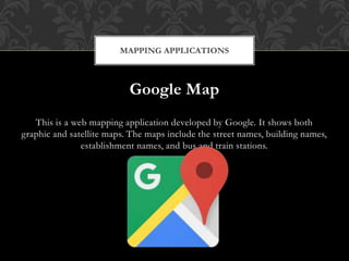
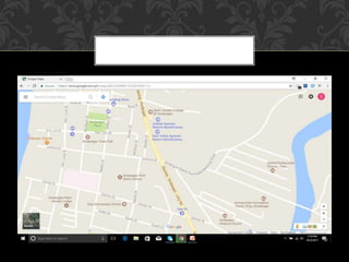
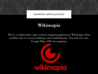

The document discusses mapping applications that utilize geographical information systems (GIS) to create visual representations of maps. It highlights Google Maps, which provides both graphic and satellite views with detailed location information, and Wikimapia, a collaborative platform using Google Maps APIs for mapping. Overall, web mapping applications serve various purposes including navigation and tracking consumer activity.