Download to read offline
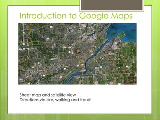
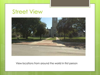
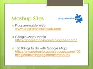
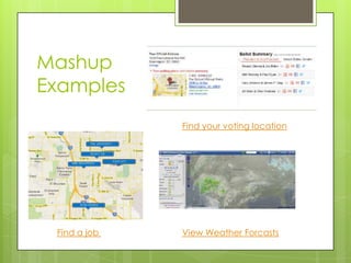
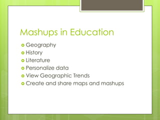

Google Maps provides street maps, satellite views, and directions by car, walking, and transit. Street View allows users to view locations from around the world. Mashups overlay additional data onto maps using APIs and benefit consumers and education. Sample mashup sites include programmable web and Google Maps Mania, while examples find voting locations, jobs, and weather forecasts. Mashups can be used in education for geography, history, literature and personalizing or sharing maps and data visualizations.


