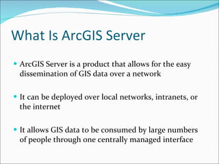
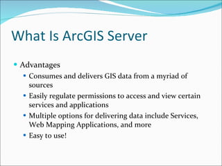
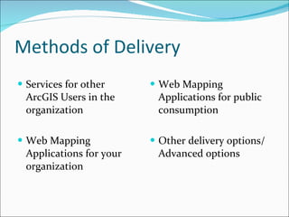
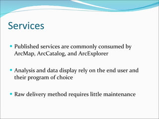
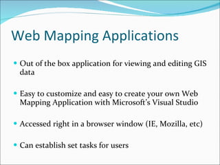
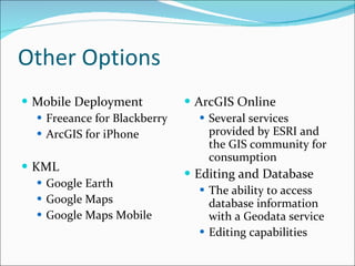
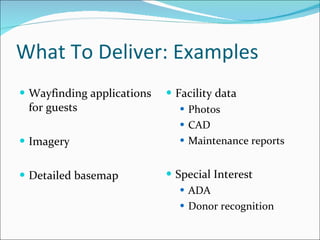
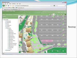
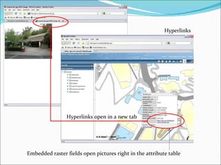
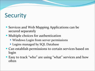
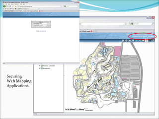
Using ArcGIS Server To Get The Information Out There! Tod Chee GIS Specialist San Diego Zoo
What We Will Discuss What is ArcGIS Server? Purpose Advantages Methods of delivering GIS Data Easy deployments for immediate results
What Is ArcGIS Server ArcGIS Server is a product that allows for the easy dissemination of GIS data over a network It can be deployed over local networks, intranets, or the internet It allows GIS data to be consumed by large numbers of people through one centrally managed interface
What Is ArcGIS Server Advantages Consumes and delivers GIS data from a myriad of sources Easily regulate permissions to access and view certain services and applications Multiple options for delivering data include Services, Web Mapping Applications, and more Easy to use!
Methods of Delivery Services for other ArcGIS Users in the organization Web Mapping Applications for your organization Web Mapping Applications for public consumption Other delivery options/Advanced options
Services Published services are commonly consumed by ArcMap, ArcCatalog, and ArcExplorer Analysis and data display rely on the end user and their program of choice Raw delivery method requires little maintenance
Web Mapping Applications Out of the box application for viewing and editing GIS data Easy to customize and easy to create your own Web Mapping Application with Microsoft’s Visual Studio Accessed right in a browser window (IE, Mozilla, etc) Can establish set tasks for users
Other Options Mobile Deployment Freeance for Blackberry ArcGIS for iPhone KML Google Earth Google Maps Google Maps Mobile ArcGIS Online Several services provided by ESRI and the GIS community for consumption Editing and Database The ability to access database information with a Geodata service Editing capabilities
What To Deliver: Examples Wayfinding applications for guests Imagery  Detailed basemap Facility data Photos CAD Maintenance reports Special Interest ADA Donor recognition
Basemap
Electrical Data
Hyperlinks Hyperlinks open in a new tab Embedded raster fields open pictures right in the attribute table
Security Services and Web Mapping Applications can be secured separately Multiple choices for authentication Windows Login from server permissions Logins managed by SQL Database Can establish permissions to certain services based on login Easy to track “who” are using “what” services and how often
Securing Web Mapping Applications
 

Not Just Dots on a Map: How Geography Influences Real World Decisions Part 2

  • 1.
    Using ArcGIS ServerTo Get The Information Out There! Tod Chee GIS Specialist San Diego Zoo
  • 2.
    What We WillDiscuss What is ArcGIS Server? Purpose Advantages Methods of delivering GIS Data Easy deployments for immediate results
  • 3.
    What Is ArcGISServer ArcGIS Server is a product that allows for the easy dissemination of GIS data over a network It can be deployed over local networks, intranets, or the internet It allows GIS data to be consumed by large numbers of people through one centrally managed interface
  • 4.
    What Is ArcGISServer Advantages Consumes and delivers GIS data from a myriad of sources Easily regulate permissions to access and view certain services and applications Multiple options for delivering data include Services, Web Mapping Applications, and more Easy to use!
  • 5.
    Methods of DeliveryServices for other ArcGIS Users in the organization Web Mapping Applications for your organization Web Mapping Applications for public consumption Other delivery options/Advanced options
  • 6.
    Services Published servicesare commonly consumed by ArcMap, ArcCatalog, and ArcExplorer Analysis and data display rely on the end user and their program of choice Raw delivery method requires little maintenance
  • 7.
    Web Mapping ApplicationsOut of the box application for viewing and editing GIS data Easy to customize and easy to create your own Web Mapping Application with Microsoft’s Visual Studio Accessed right in a browser window (IE, Mozilla, etc) Can establish set tasks for users
  • 8.
    Other Options MobileDeployment Freeance for Blackberry ArcGIS for iPhone KML Google Earth Google Maps Google Maps Mobile ArcGIS Online Several services provided by ESRI and the GIS community for consumption Editing and Database The ability to access database information with a Geodata service Editing capabilities
  • 9.
    What To Deliver:Examples Wayfinding applications for guests Imagery Detailed basemap Facility data Photos CAD Maintenance reports Special Interest ADA Donor recognition
  • 10.
  • 11.
  • 12.
    Hyperlinks Hyperlinks openin a new tab Embedded raster fields open pictures right in the attribute table
  • 13.
    Security Services andWeb Mapping Applications can be secured separately Multiple choices for authentication Windows Login from server permissions Logins managed by SQL Database Can establish permissions to certain services based on login Easy to track “who” are using “what” services and how often
  • 14.
  • 15.