Download as PDF, PPTX


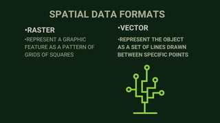
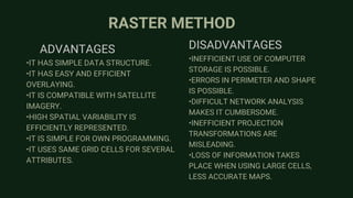
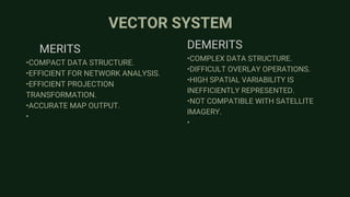
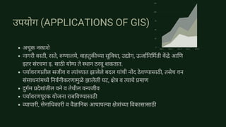

The document provides an introduction to Geographic Information Systems (GIS), detailing its definition, components, and data structures, including spatial and non-spatial types. It emphasizes the role of GIS in capturing, storing, and analyzing geographically referenced data, along with the advantages and disadvantages of raster and vector data formats. Additionally, it outlines various applications of GIS in urban planning, environmental management, and resource development.