
Download as PDF, PPTX
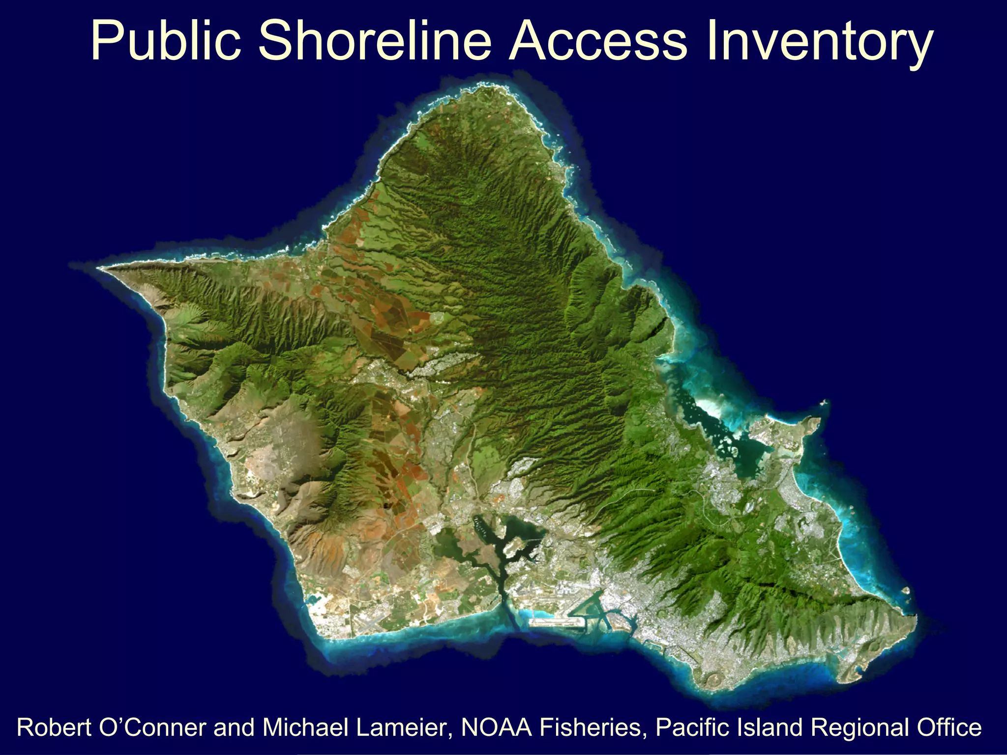
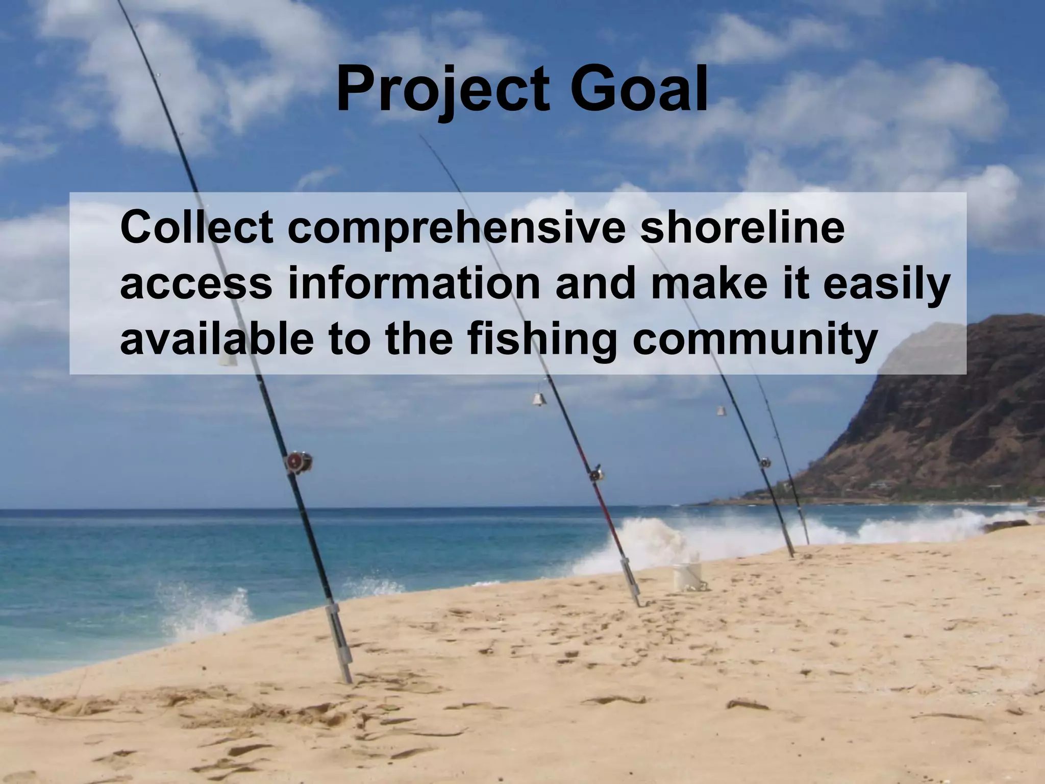
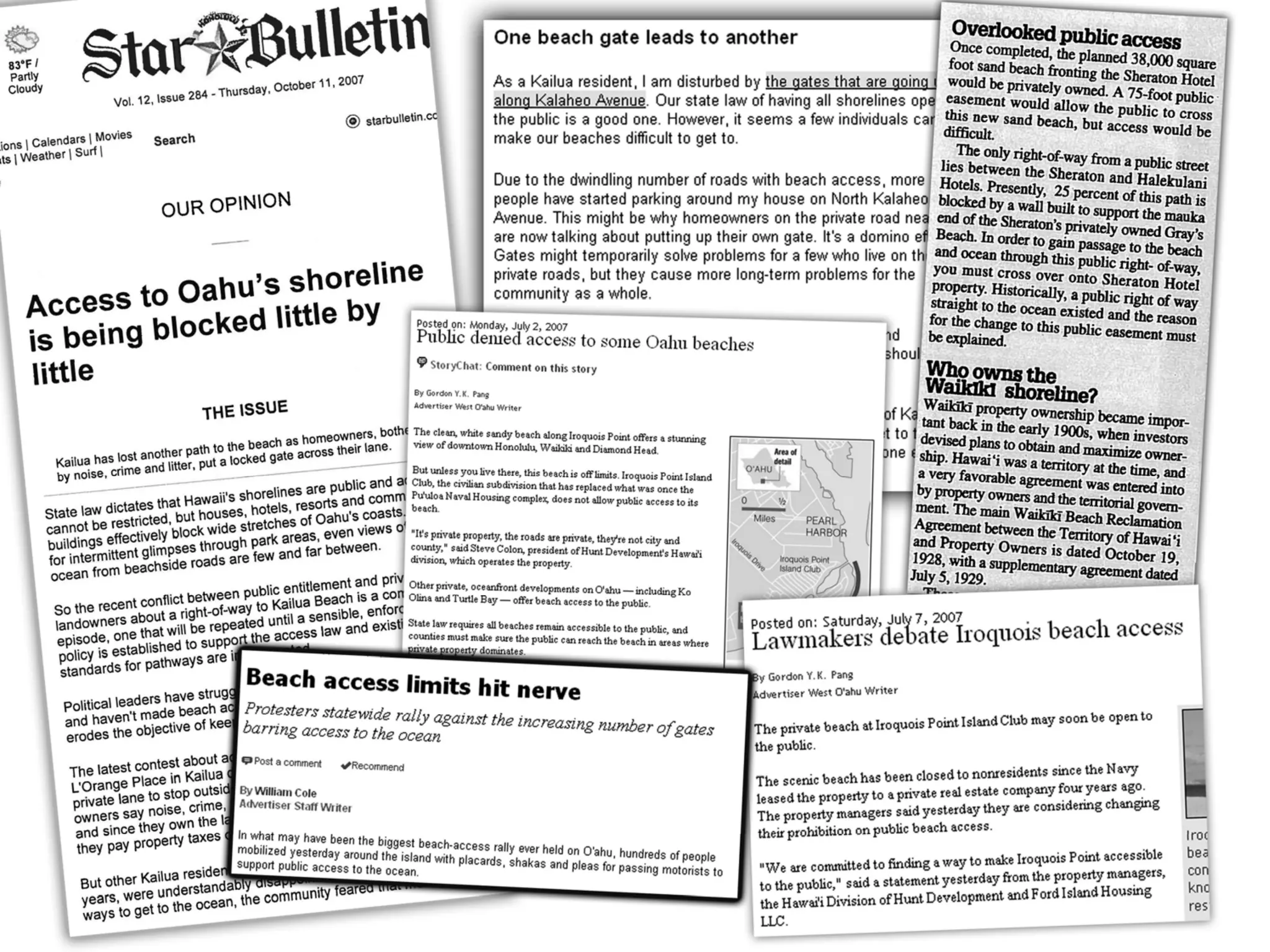
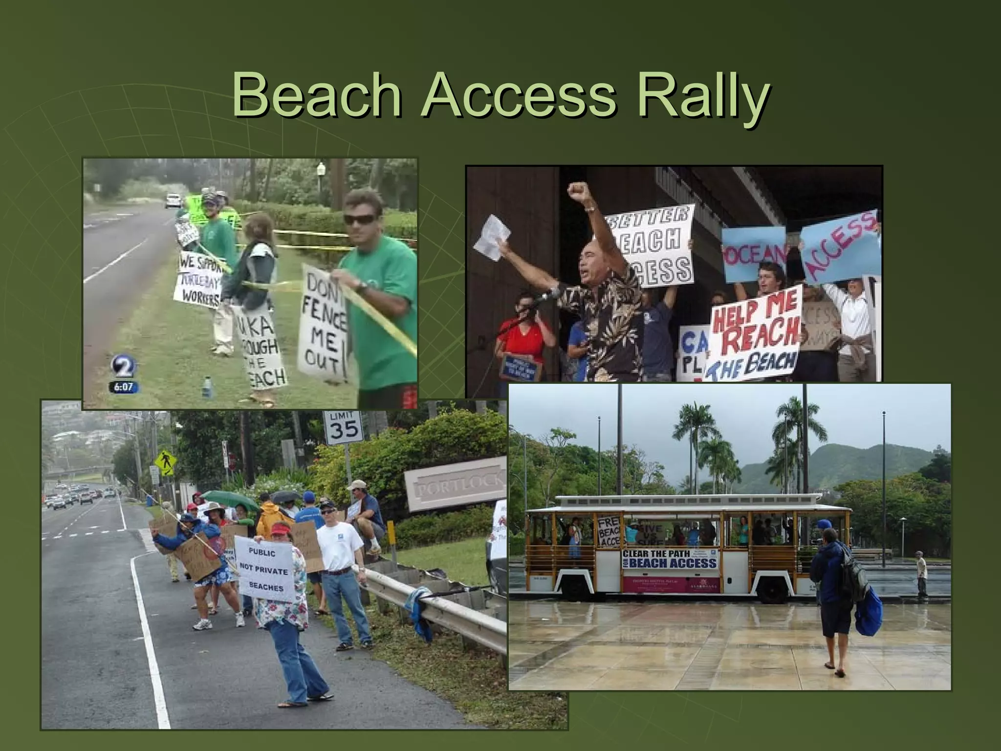
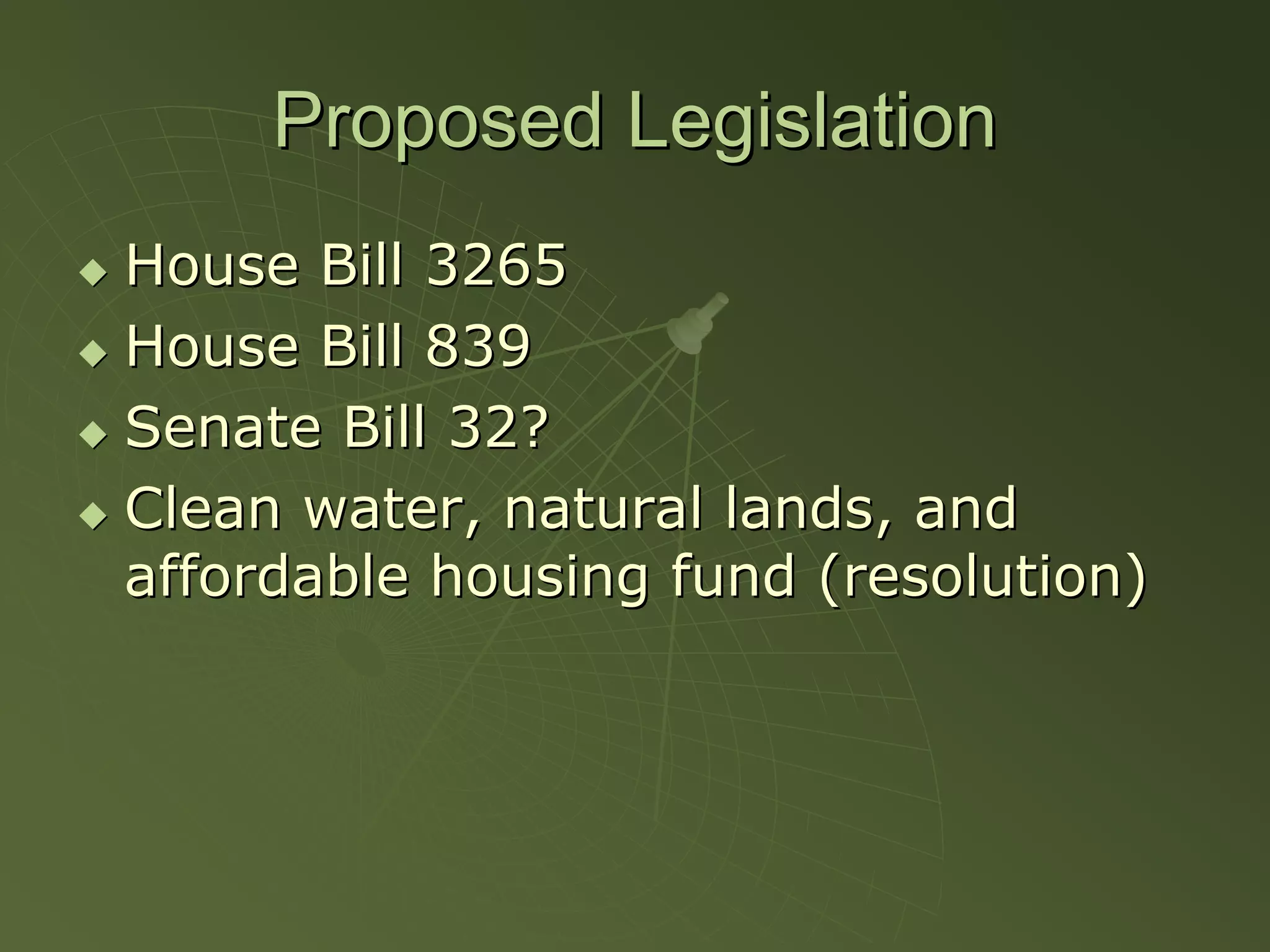
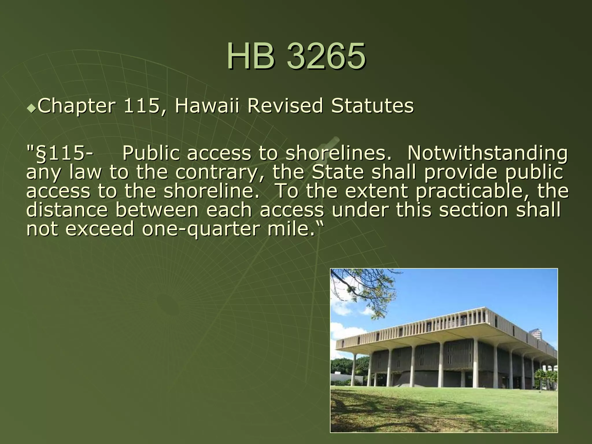
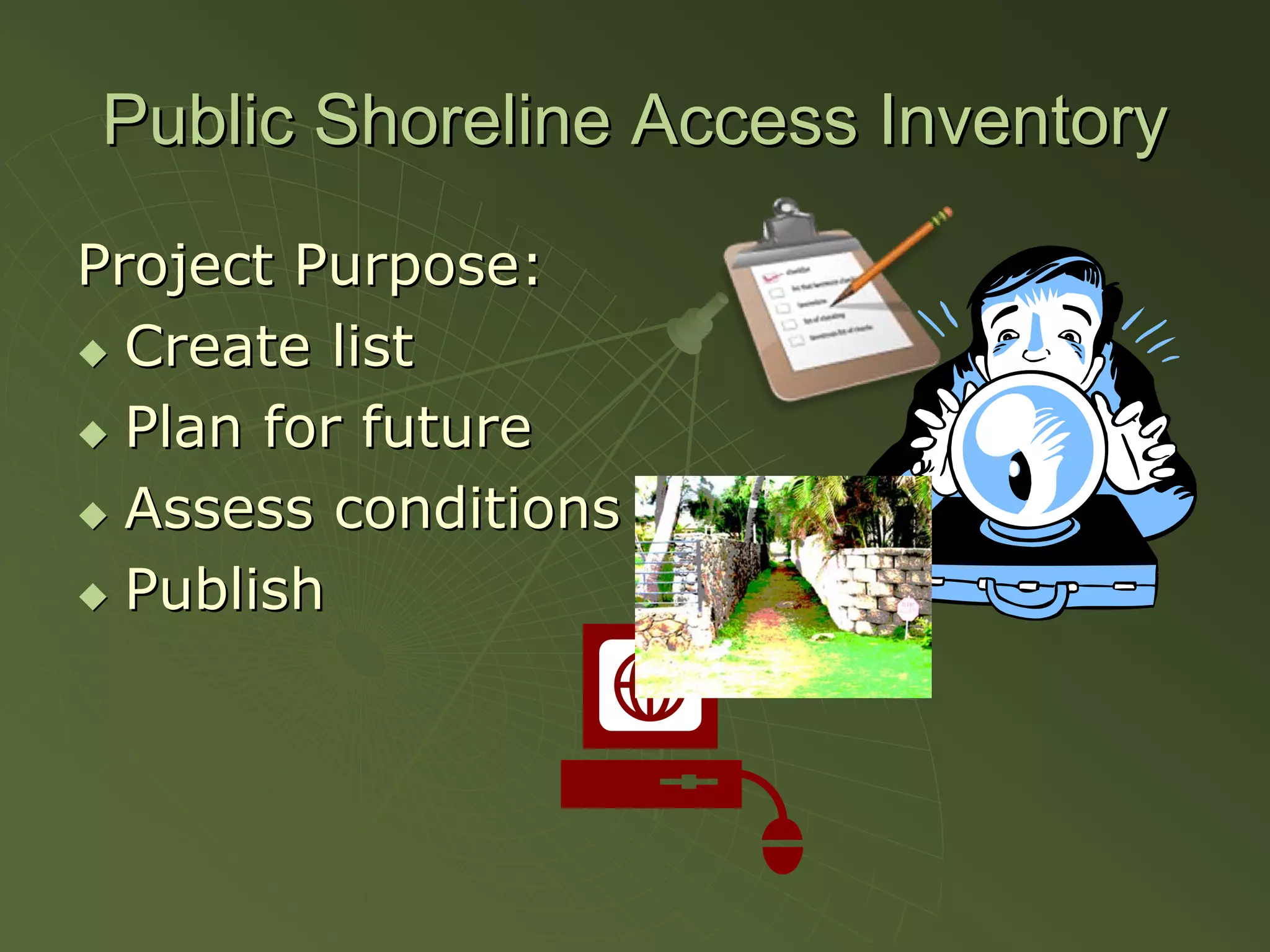
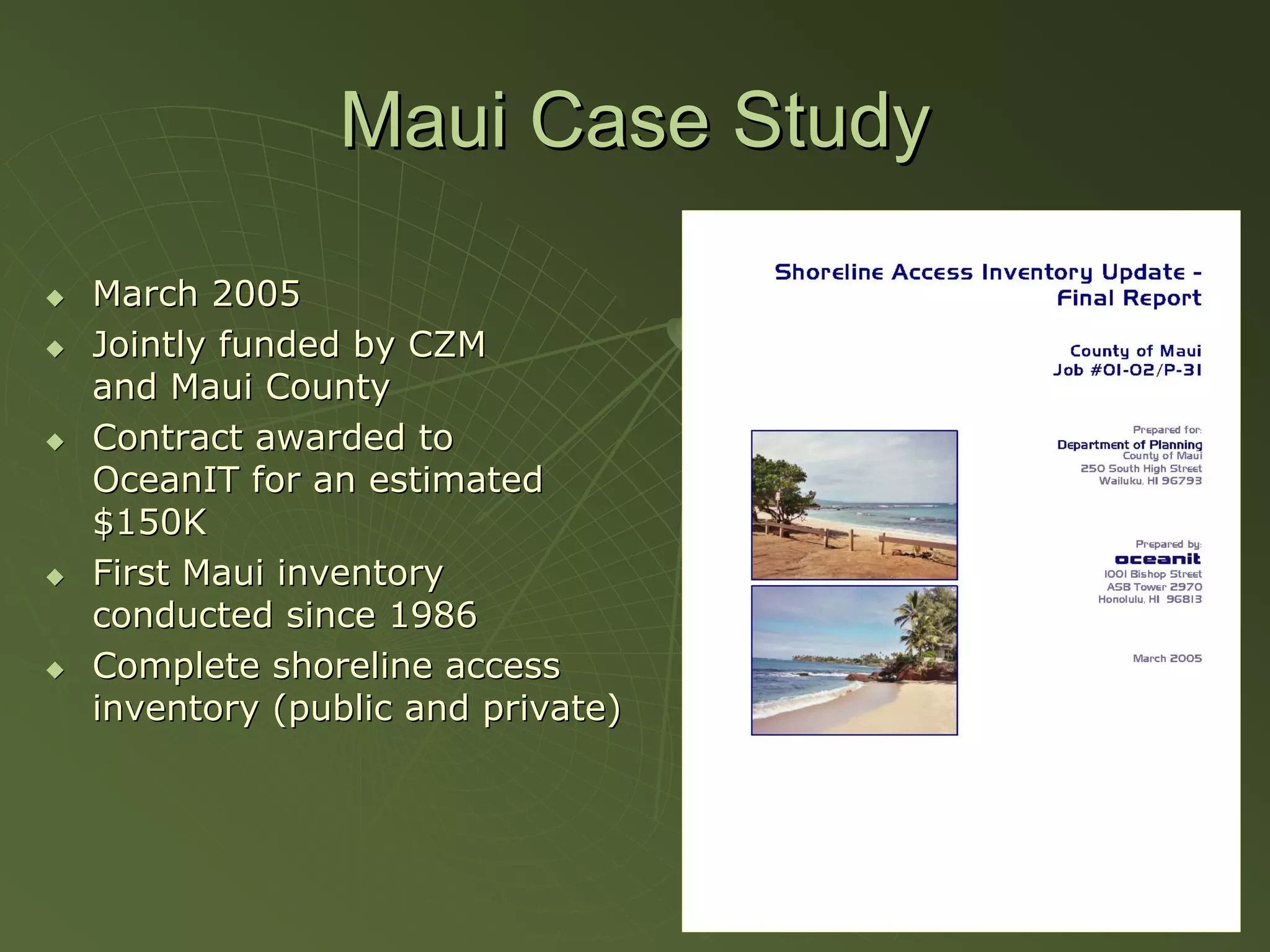
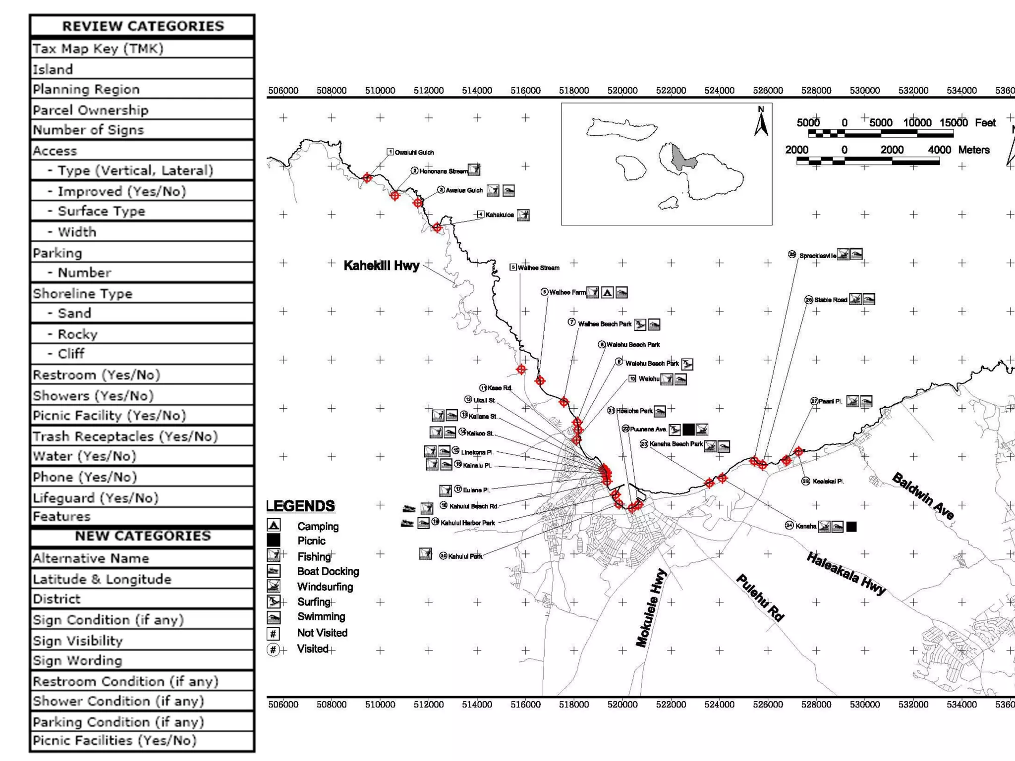
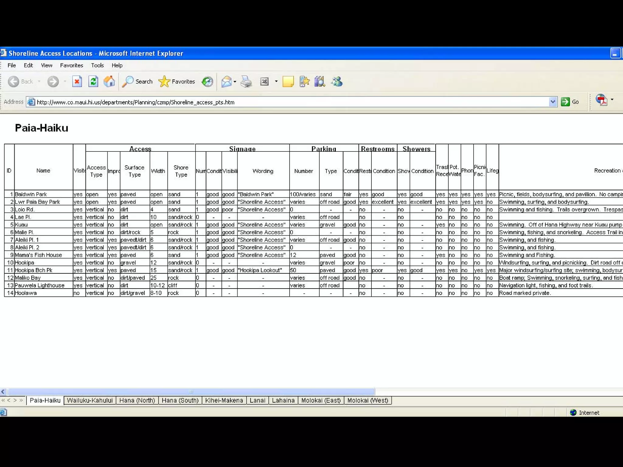

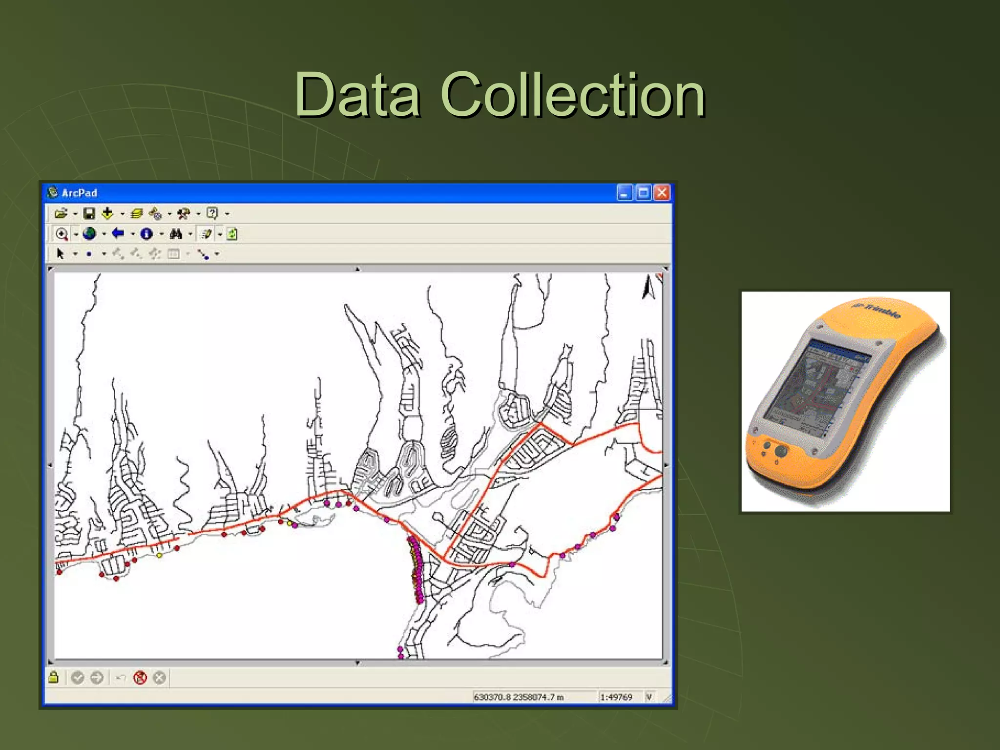
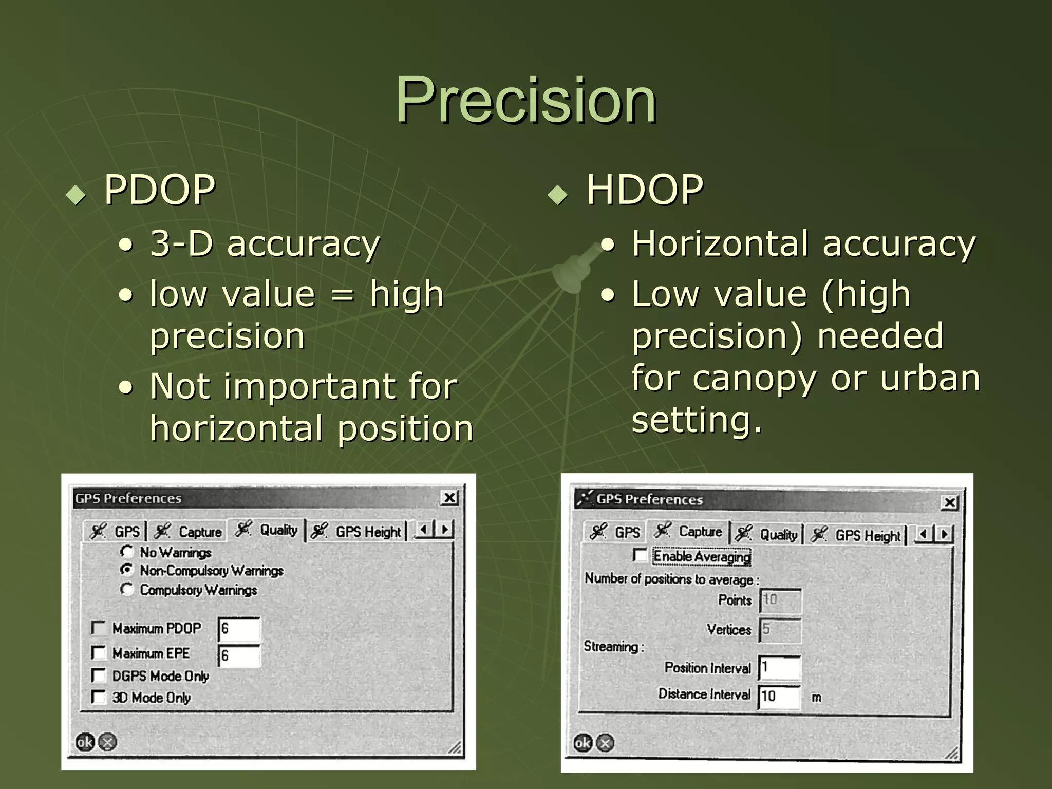
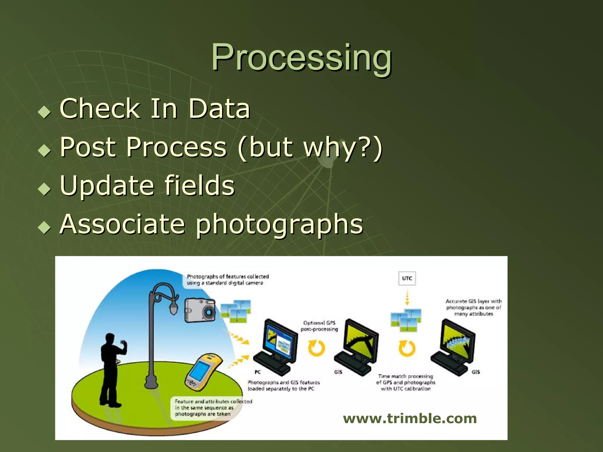
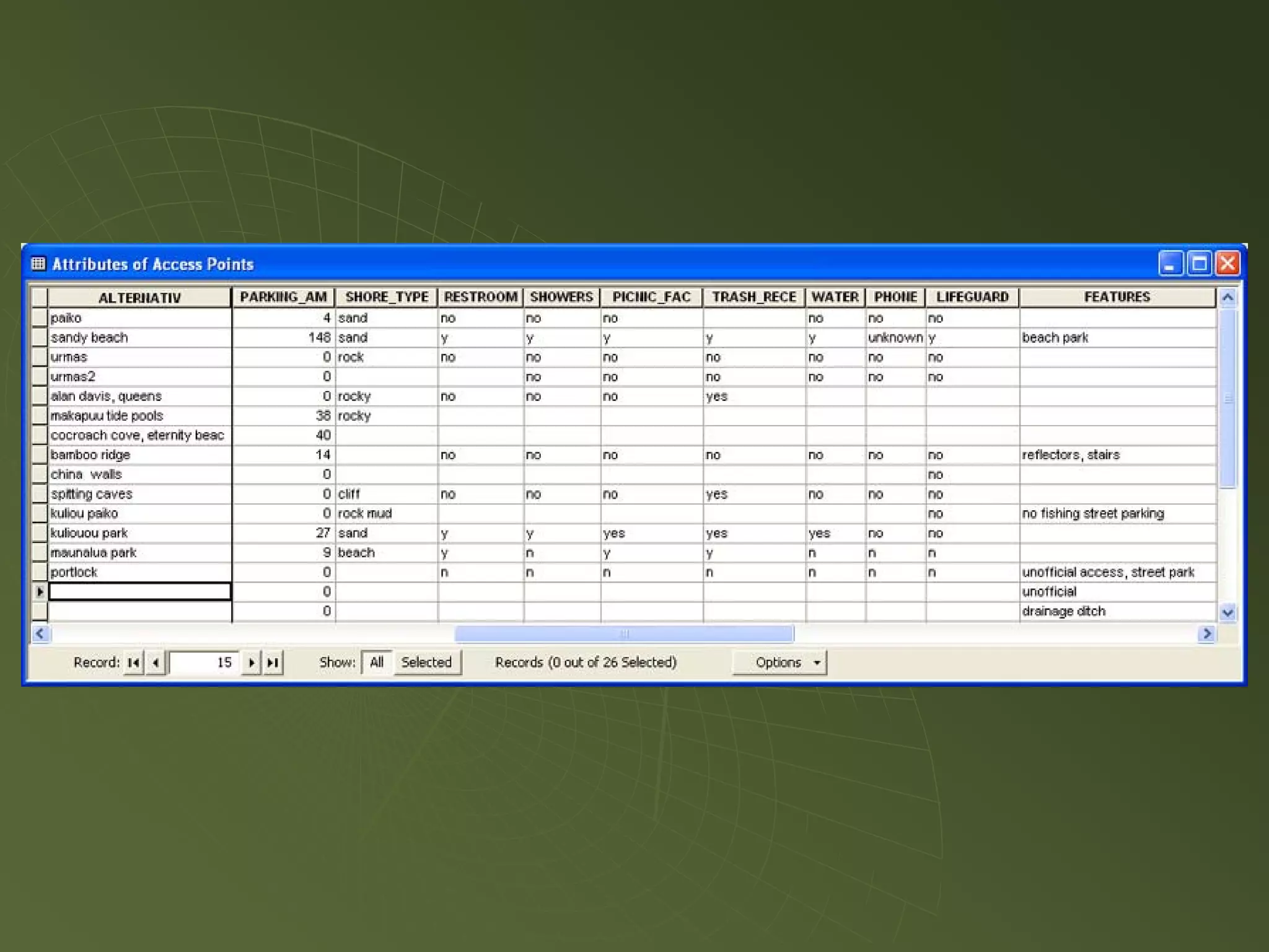
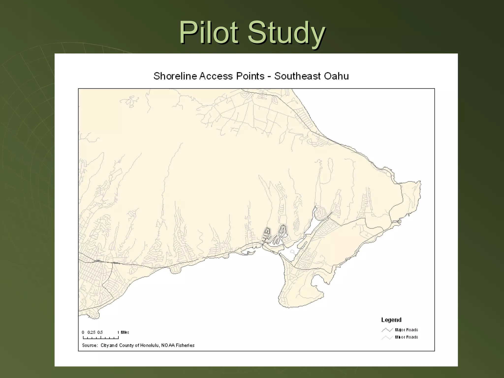
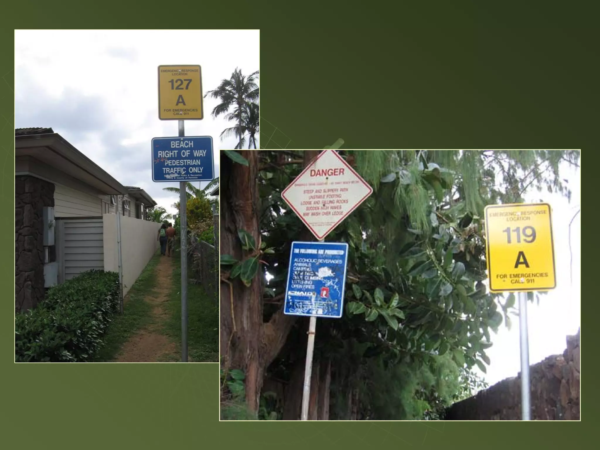
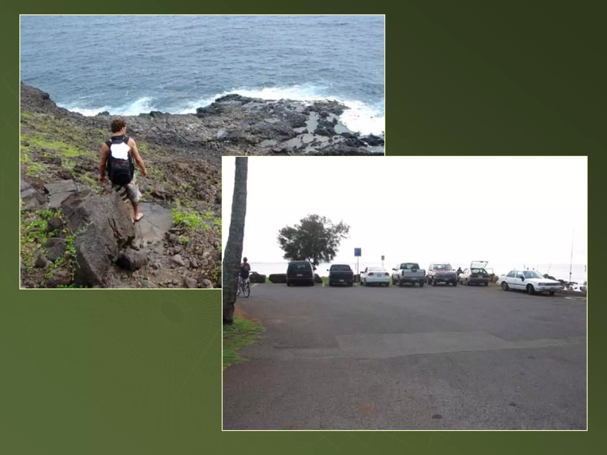
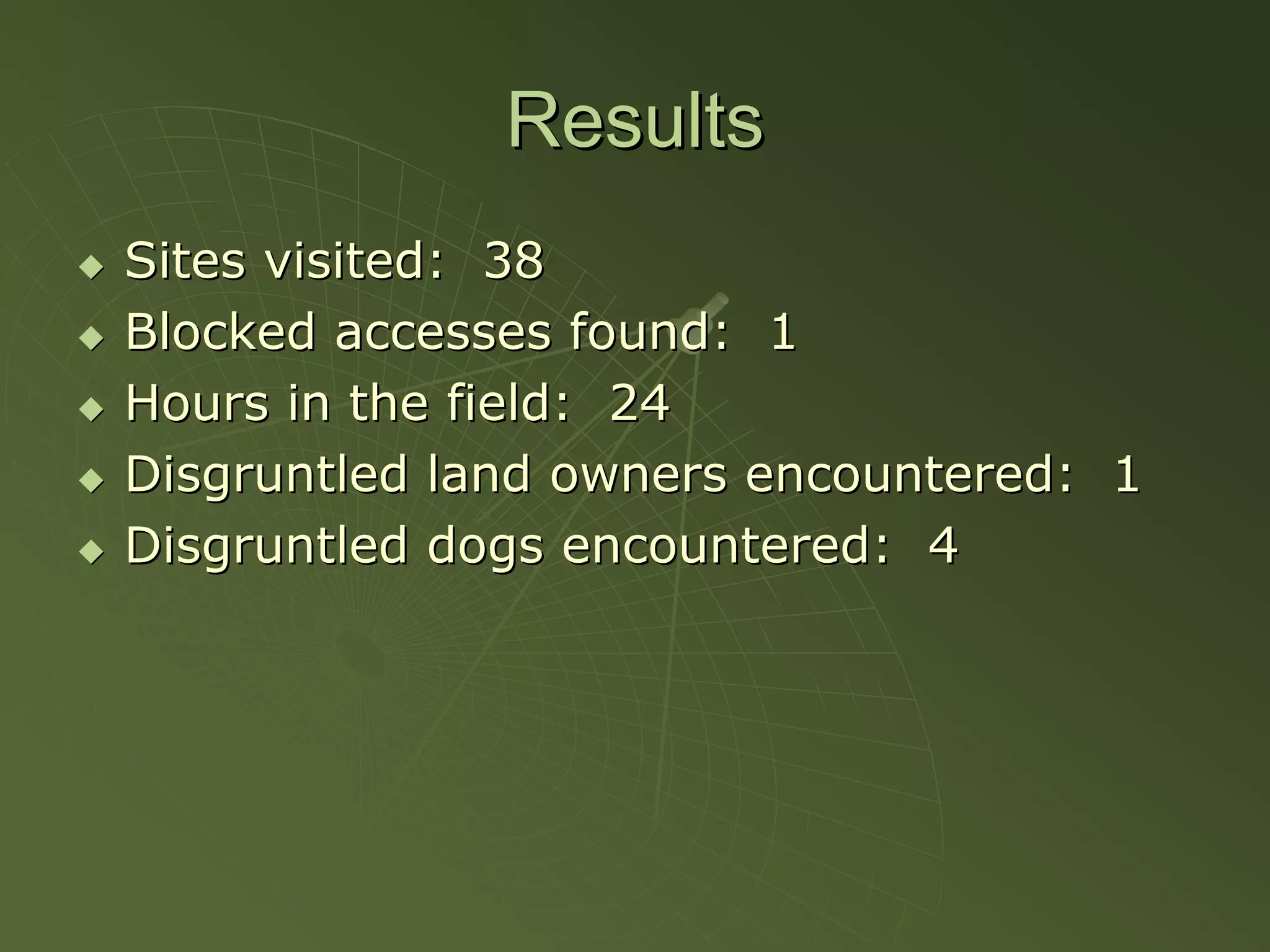
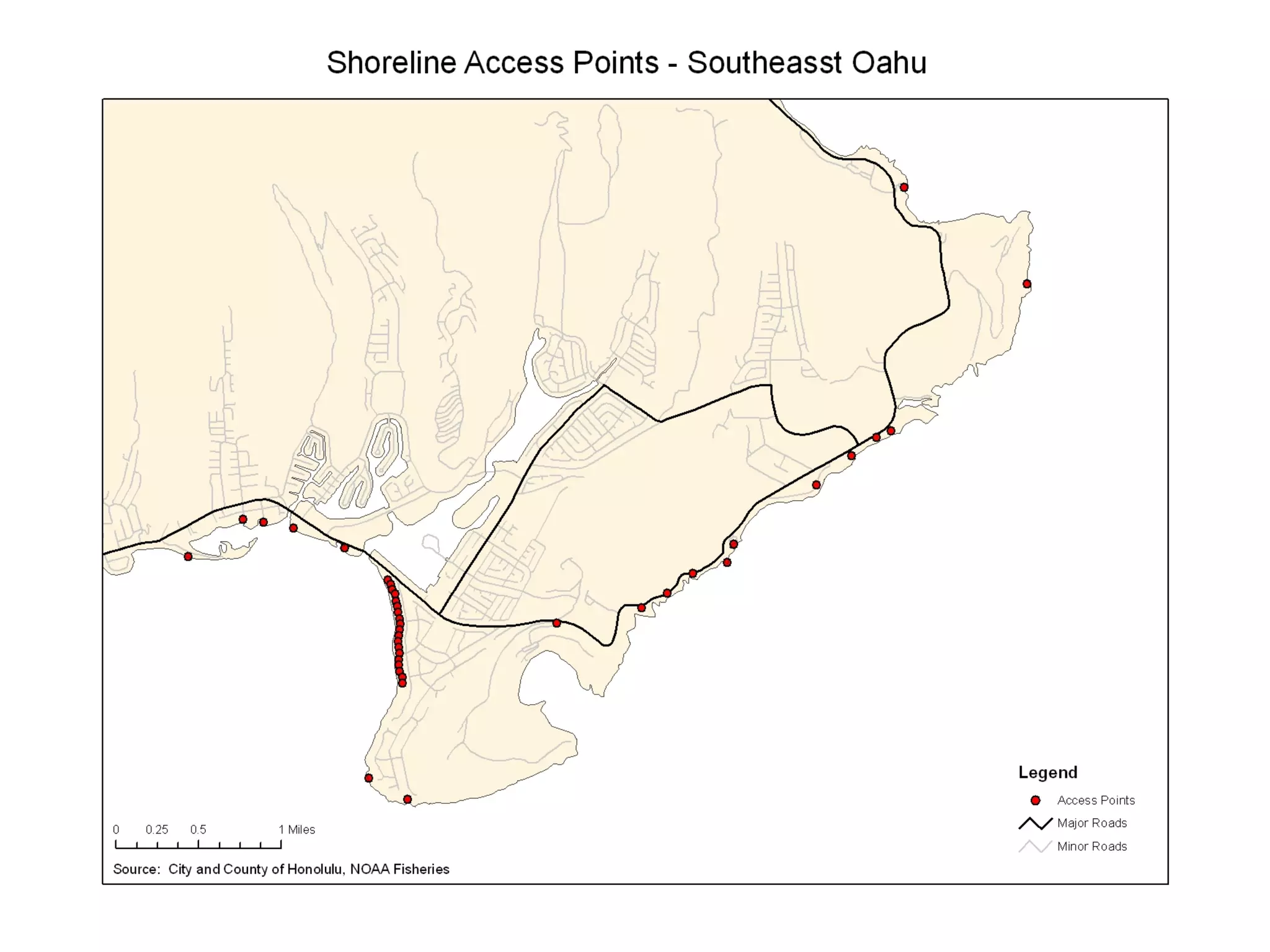
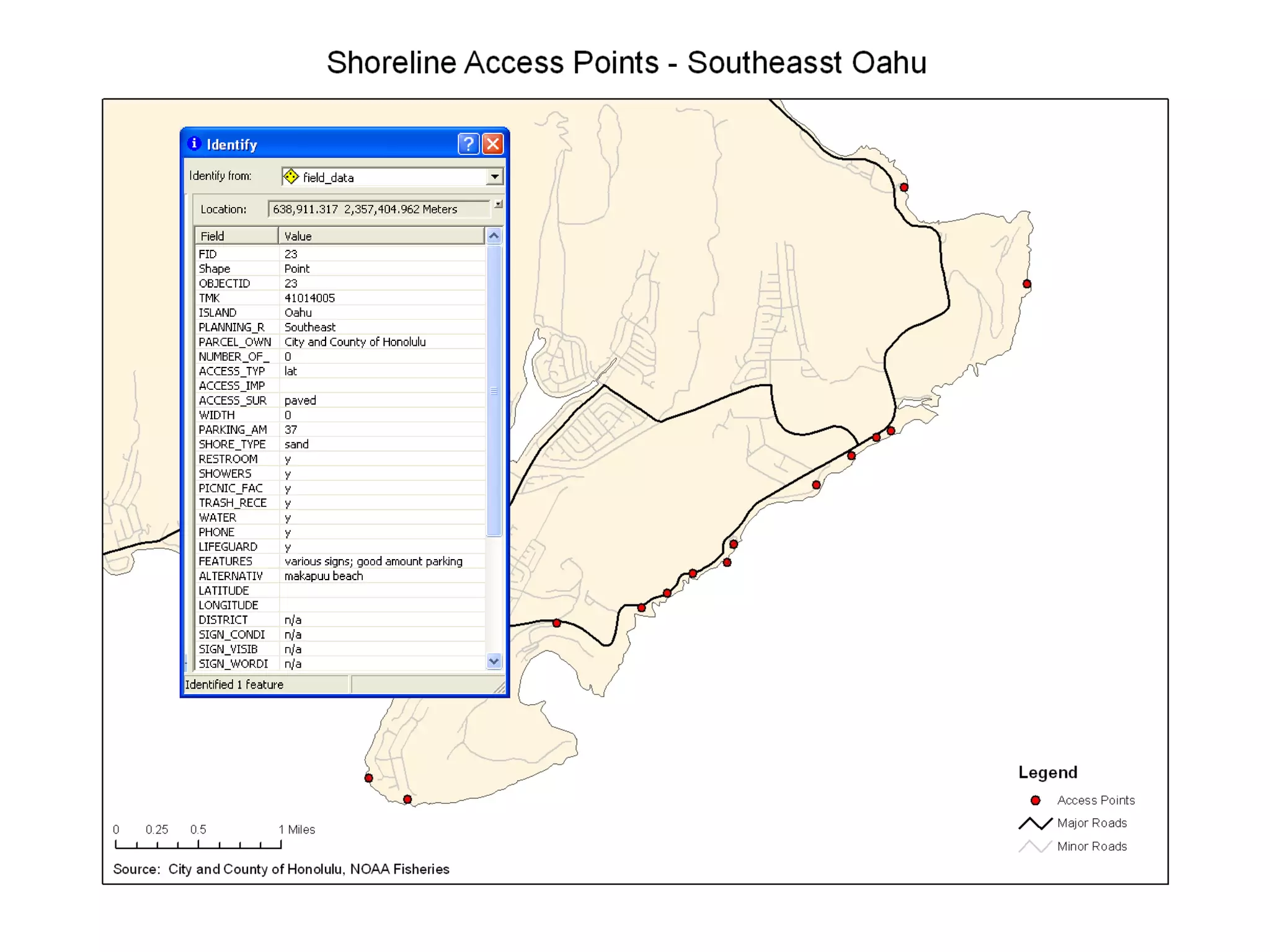
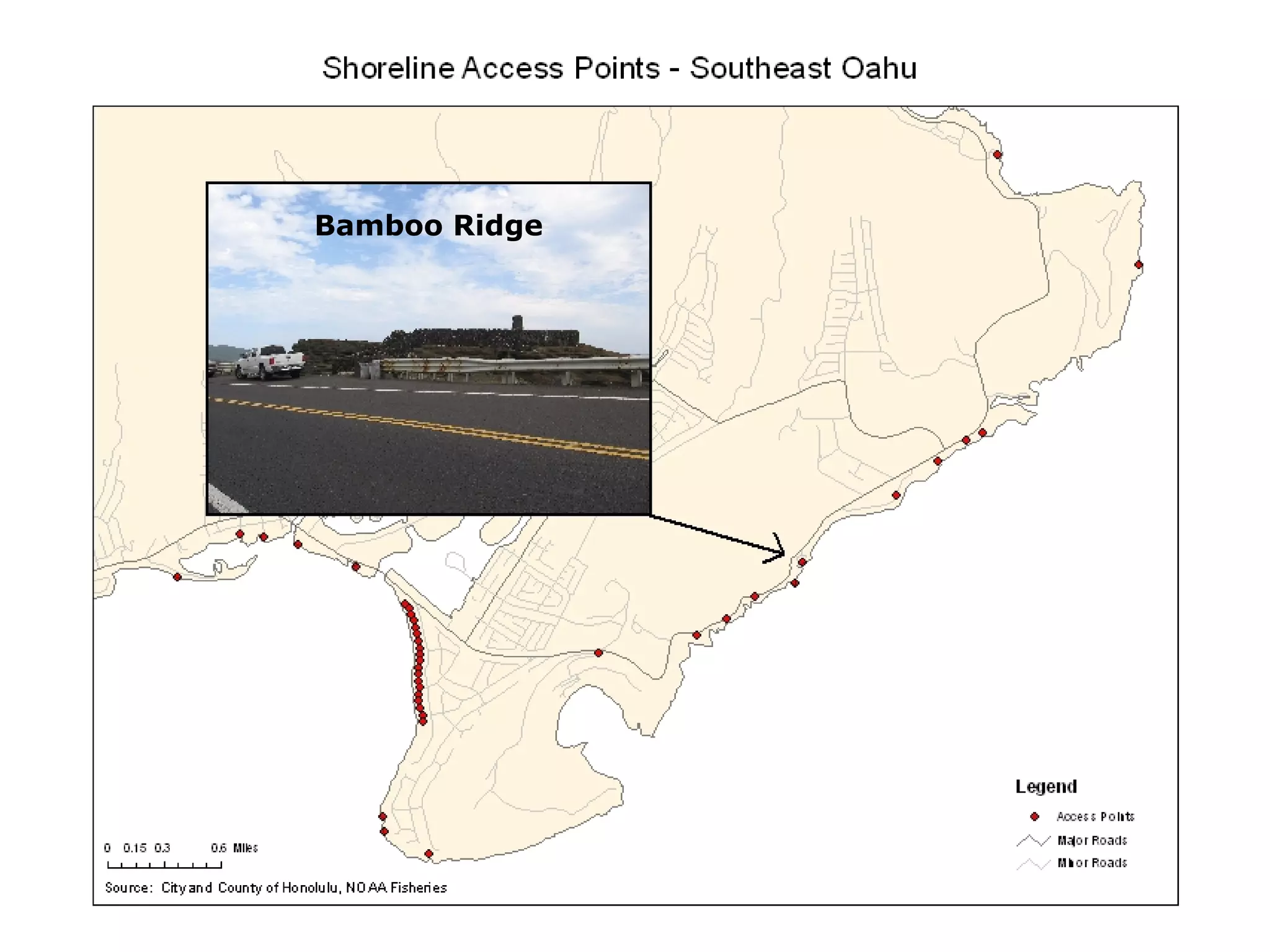
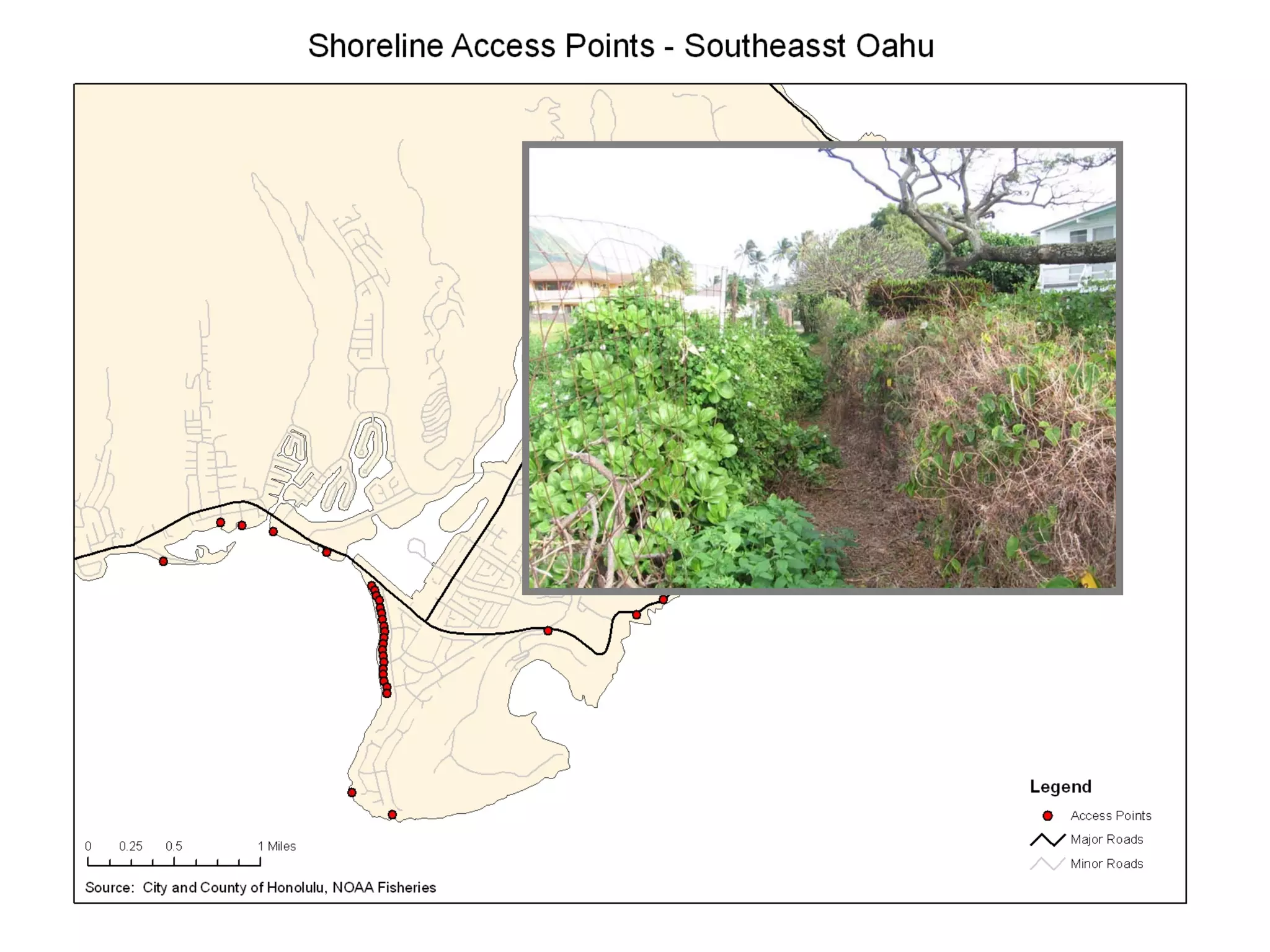
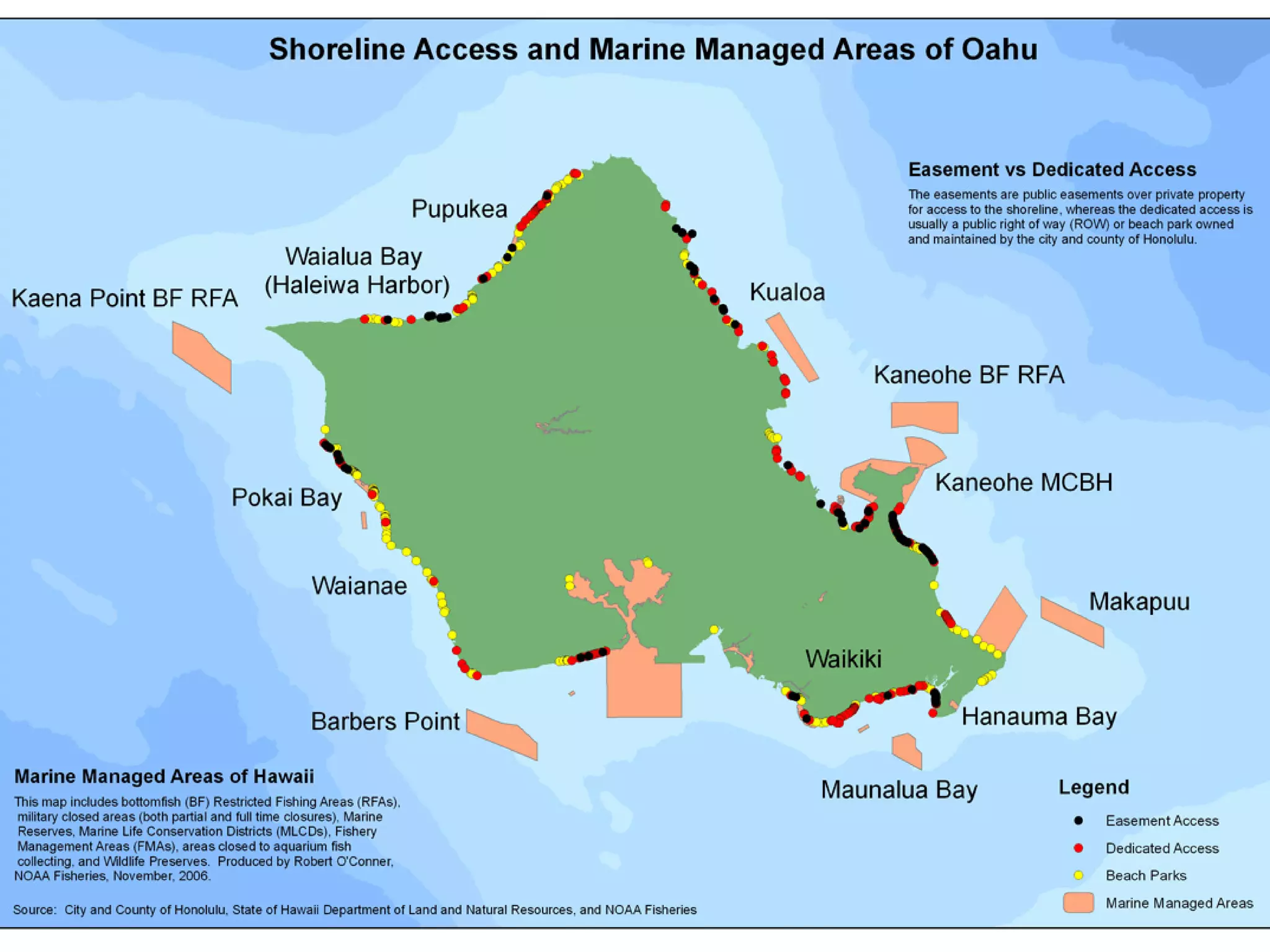
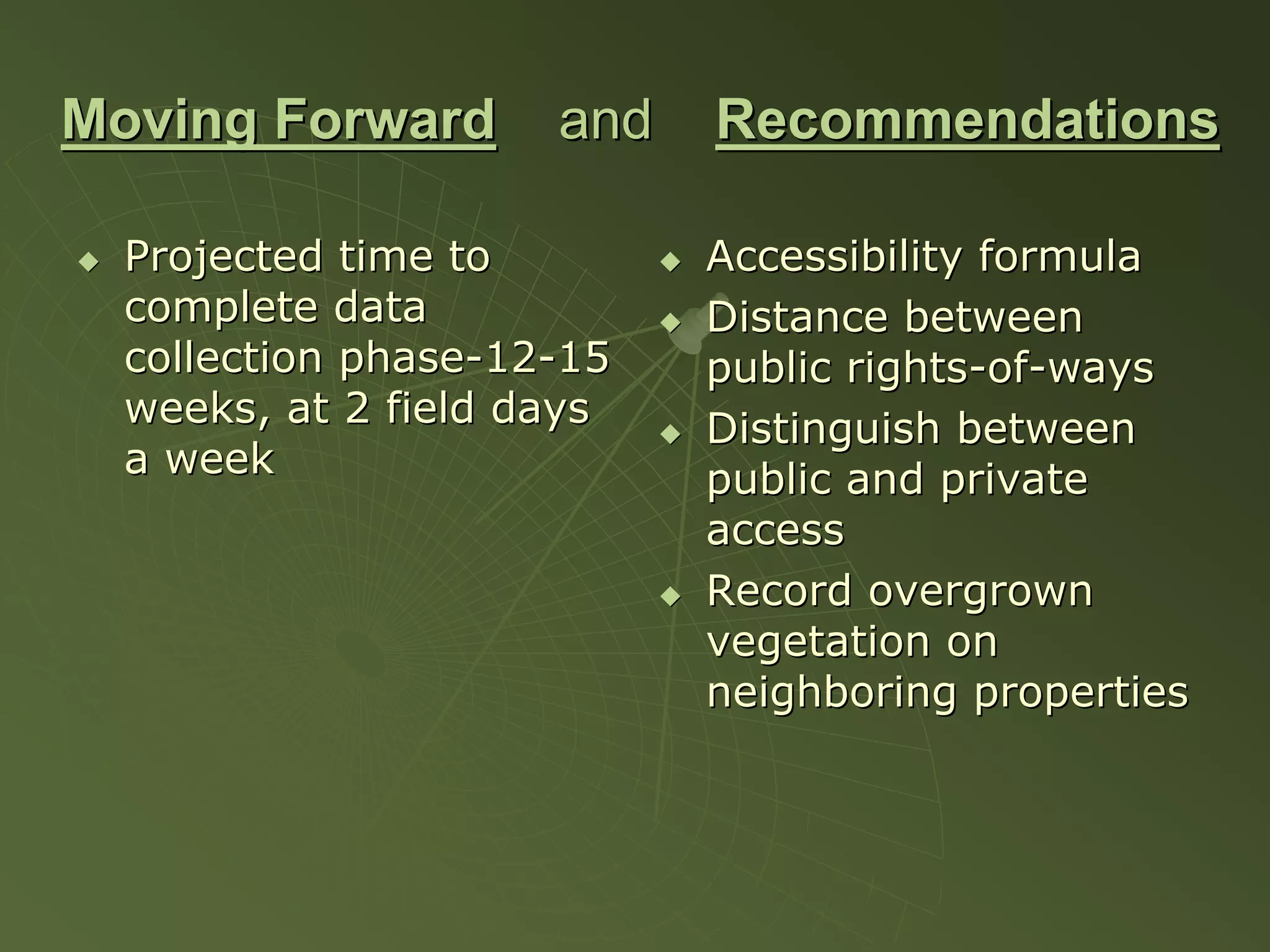
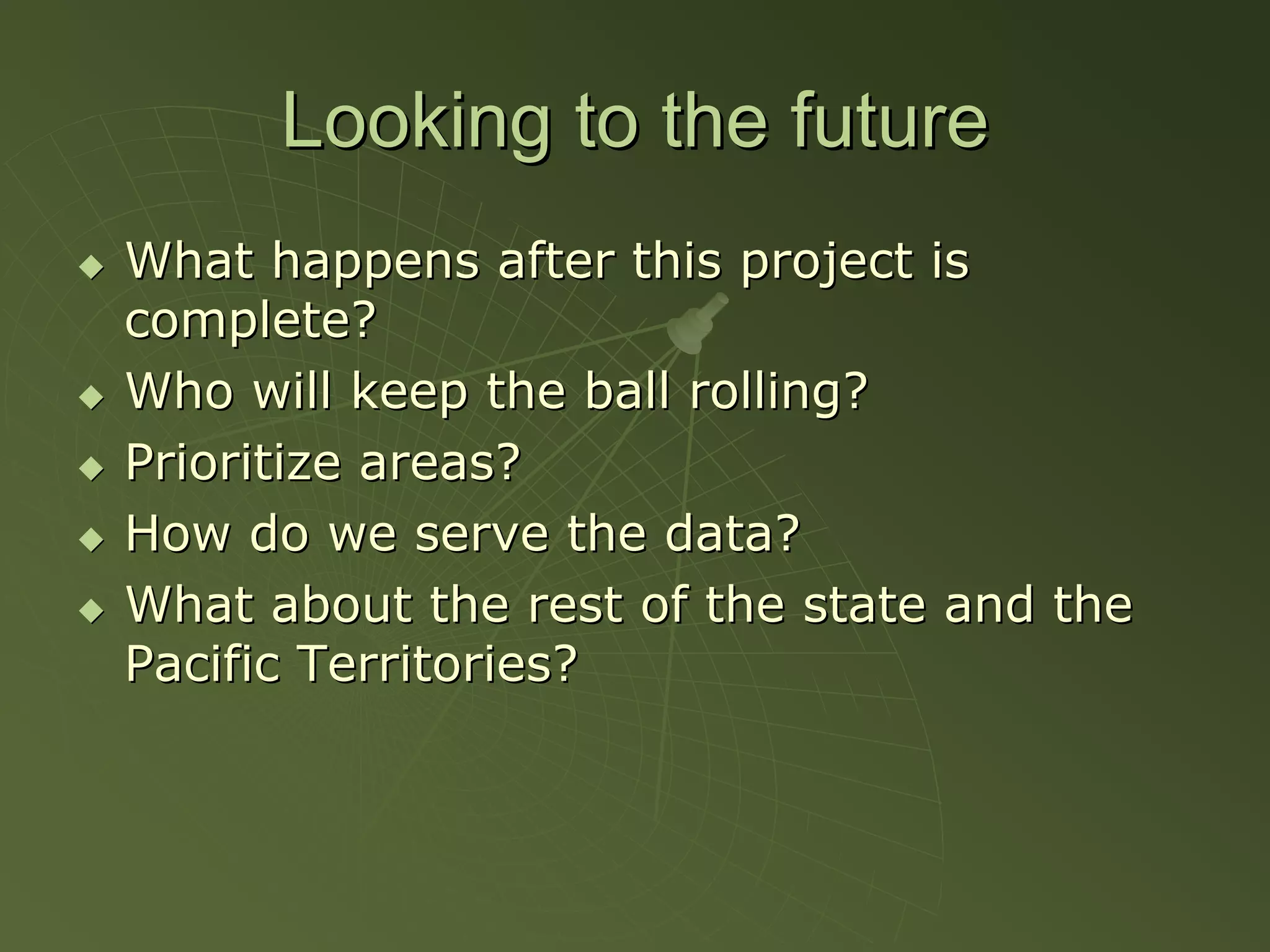
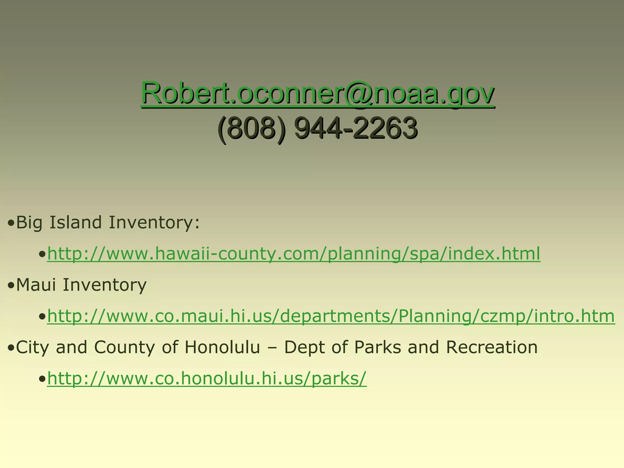
This presentation summarizes a project to inventory public shoreline access in Hawaii. It discusses proposed legislation supporting public shoreline access, methods for data collection including collaborating with state and county agencies, examples from pilot studies and case studies on Maui and the Big Island, recommendations for moving forward and maintaining the data collection long term. The goal is to create a comprehensive database and maps of public shoreline access points and facilities to help ensure public access to beaches and shorelines.


![Vibe Coding vs. Spec-Driven Development [Free Meetup]](https://cdn.slidesharecdn.com/ss_thumbnails/vibecodingvsspecdrivendevelopment-251209105622-43f455e7-thumbnail.jpg?width=640&height=640&fit=bounds)


