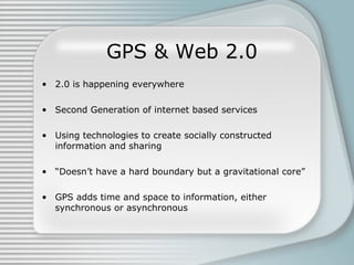
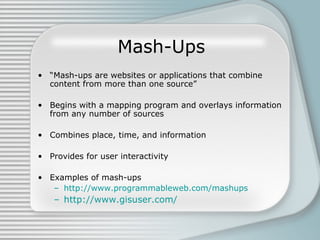
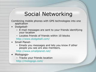
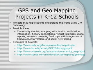
Geo Mapping: Mash-Ups, Interactivity, & Time/Place/Content Connections
GPS & Web 2.0 2.0 is happening everywhere Second Generation of internet based services Using technologies to create socially constructed information and sharing “ Doesn’t have a hard boundary but a gravitational core” GPS adds time and space to information, either synchronous or asynchronous
Mash-Ups “ Mash-ups are websites or applications that combine content from more than one source” Begins with a mapping program and overlays information from any number of sources Combines place, time, and information Provides for user interactivity Examples of mash-ups http://www.programmableweb.com/mashups http://www.gisuser.com/
Social Networking Combining mobile phones with GPS technologies into one application Dodgeball- E-mail messages are sent to your friends identifying your location Locates friends of friends within 10 blocks http://www.dodgeball.com/ Small Planet- Emails you messages and lets you know if other people you see are also members. http://www.smallplanet.net/ Mologogo- Tracks your friends location http://mologogo.com/
GPS, Mapping, and Web 2.0 in Education Instruction, application, and practice with these technologies  needs to be integrated within all subject areas Both teachers and students need to be proficient in web 2.0 technologies  What needs to happen: Collaboration of SME’s, ID professionals, and educators An examination of current pedagogy, curriculum, and educational focus  Training of teachers A spiraling curriculum that scaffolds learning needs to be created and implemented beginning in the primary grades
GPS and Geo Mapping Projects in K-12 Schools Projects that help students understand the world using 2.0 technology Possible ideas: Community studies, mapping with local to world wide information, history connections, virtual field trips, digital reports, research projects, field trips with integration of time/place/information, and social networking Examples of Projects: http://www.netc.org/focus/examples/mappin.php http://www.bu.edu/lernet/GK12/alexis/gps.pdf http://www.vinsweb.org/education/community_map.html http://www.sprise.com/shs/faculty/Geomapping/geomapping_project.htm
“How-To” and Resource Sites Wikipedia definition of Web Mash-Ups http://en.wikipedia.org/wiki/Mashup_ Short Flikr video: “Geotags and You” http://www.flickr.com/help/screencasts/vol1 Extensive collection of resources by GPSy http://www.gpsy.com/gpsinfo/ AutoDesk's “Taking you beyond the Map” info/help site  http://www.gisuser.com/ Yahoo’s Developer Network Home helping you create your own mash-ups http://developer.yahoo.com/ Goggle's Beta Map site helping you create mash-ups http://www.google.com/apis/maps/

Geo Mapping

  • 1.
    Geo Mapping: Mash-Ups,Interactivity, & Time/Place/Content Connections
  • 2.
    GPS & Web2.0 2.0 is happening everywhere Second Generation of internet based services Using technologies to create socially constructed information and sharing “ Doesn’t have a hard boundary but a gravitational core” GPS adds time and space to information, either synchronous or asynchronous
  • 3.
    Mash-Ups “ Mash-upsare websites or applications that combine content from more than one source” Begins with a mapping program and overlays information from any number of sources Combines place, time, and information Provides for user interactivity Examples of mash-ups http://www.programmableweb.com/mashups http://www.gisuser.com/
  • 4.
    Social Networking Combiningmobile phones with GPS technologies into one application Dodgeball- E-mail messages are sent to your friends identifying your location Locates friends of friends within 10 blocks http://www.dodgeball.com/ Small Planet- Emails you messages and lets you know if other people you see are also members. http://www.smallplanet.net/ Mologogo- Tracks your friends location http://mologogo.com/
  • 5.
    GPS, Mapping, andWeb 2.0 in Education Instruction, application, and practice with these technologies needs to be integrated within all subject areas Both teachers and students need to be proficient in web 2.0 technologies What needs to happen: Collaboration of SME’s, ID professionals, and educators An examination of current pedagogy, curriculum, and educational focus Training of teachers A spiraling curriculum that scaffolds learning needs to be created and implemented beginning in the primary grades
  • 6.
    GPS and GeoMapping Projects in K-12 Schools Projects that help students understand the world using 2.0 technology Possible ideas: Community studies, mapping with local to world wide information, history connections, virtual field trips, digital reports, research projects, field trips with integration of time/place/information, and social networking Examples of Projects: http://www.netc.org/focus/examples/mappin.php http://www.bu.edu/lernet/GK12/alexis/gps.pdf http://www.vinsweb.org/education/community_map.html http://www.sprise.com/shs/faculty/Geomapping/geomapping_project.htm
  • 7.
    “How-To” and ResourceSites Wikipedia definition of Web Mash-Ups http://en.wikipedia.org/wiki/Mashup_ Short Flikr video: “Geotags and You” http://www.flickr.com/help/screencasts/vol1 Extensive collection of resources by GPSy http://www.gpsy.com/gpsinfo/ AutoDesk's “Taking you beyond the Map” info/help site http://www.gisuser.com/ Yahoo’s Developer Network Home helping you create your own mash-ups http://developer.yahoo.com/ Goggle's Beta Map site helping you create mash-ups http://www.google.com/apis/maps/