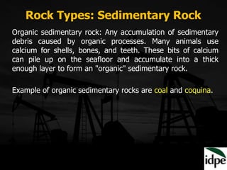
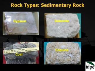
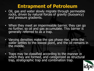
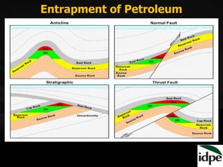
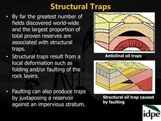
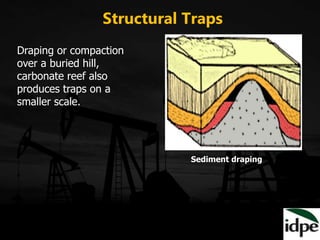
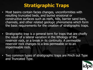
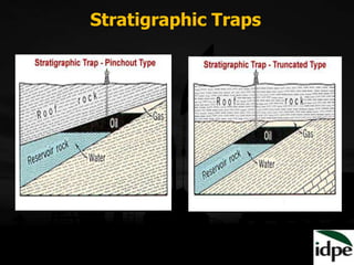
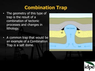
Downloaded 405 times

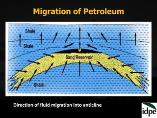
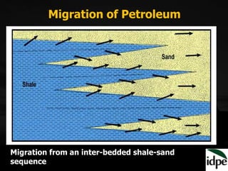
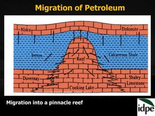
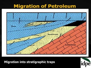
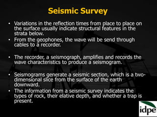
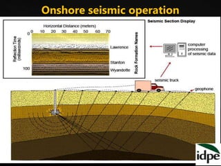

The document provides an overview of geology and exploration methods for petroleum. It discusses the three main rock types - igneous, sedimentary and metamorphic rocks - and describes parameters that control petroleum occurrence such as source rocks, reservoir rocks and traps. It then explains processes of petroleum migration and entrapment. Finally, it outlines various oil exploration methods including surface geology, geophysical techniques like magnetic, gravity and seismic surveys, and sub-surface methods like well correlation.


