Downloaded 275 times


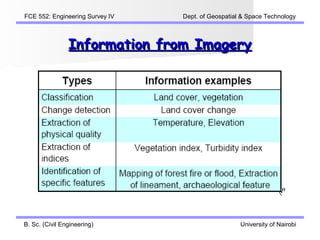


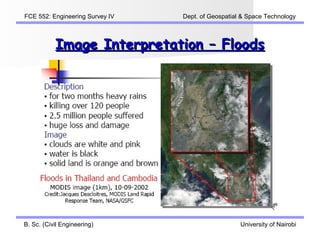
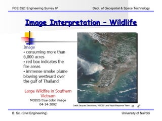


The document discusses image interpretation in engineering surveying. It covers key concepts like the remote sensing process, objectives of image interpretation to extract qualitative and quantitative information, and procedures of interpretation. It also outlines interpretation elements like tone, size, shape, texture, pattern, relationships and keys. Examples of applications discussed include interpreting land covers, floods, wildlife, volcanoes, mines, environments and oceans.