Download as PDF, PPTX


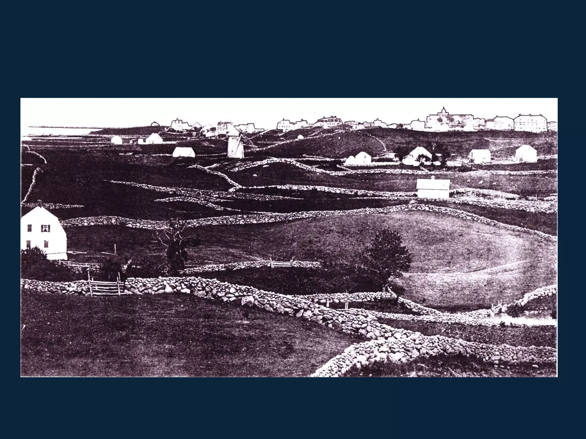
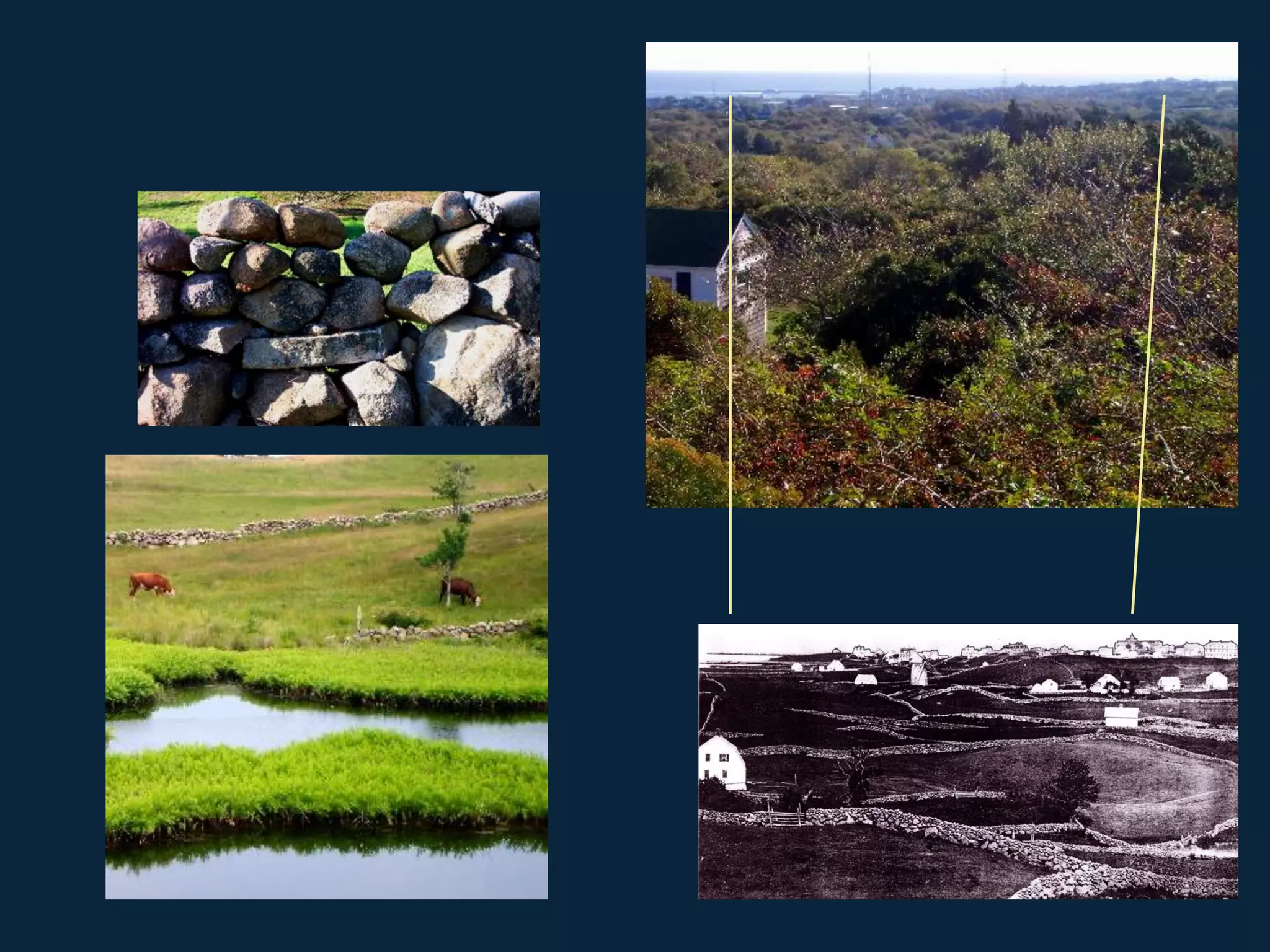
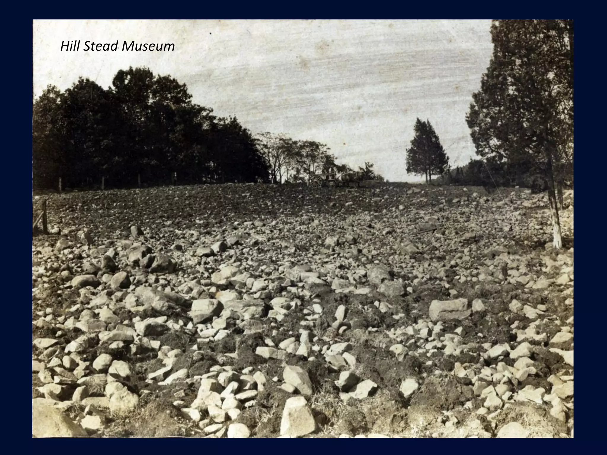

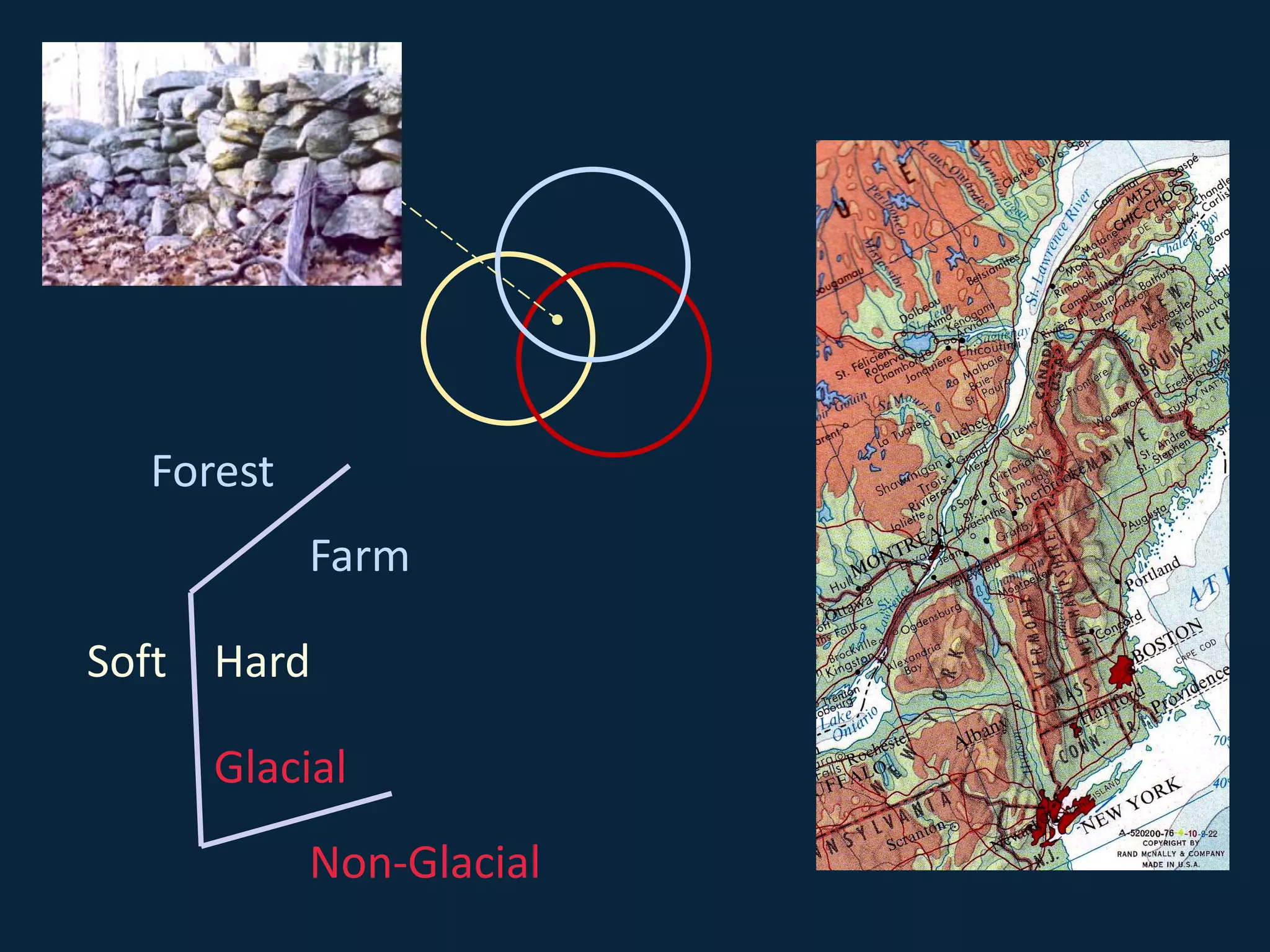


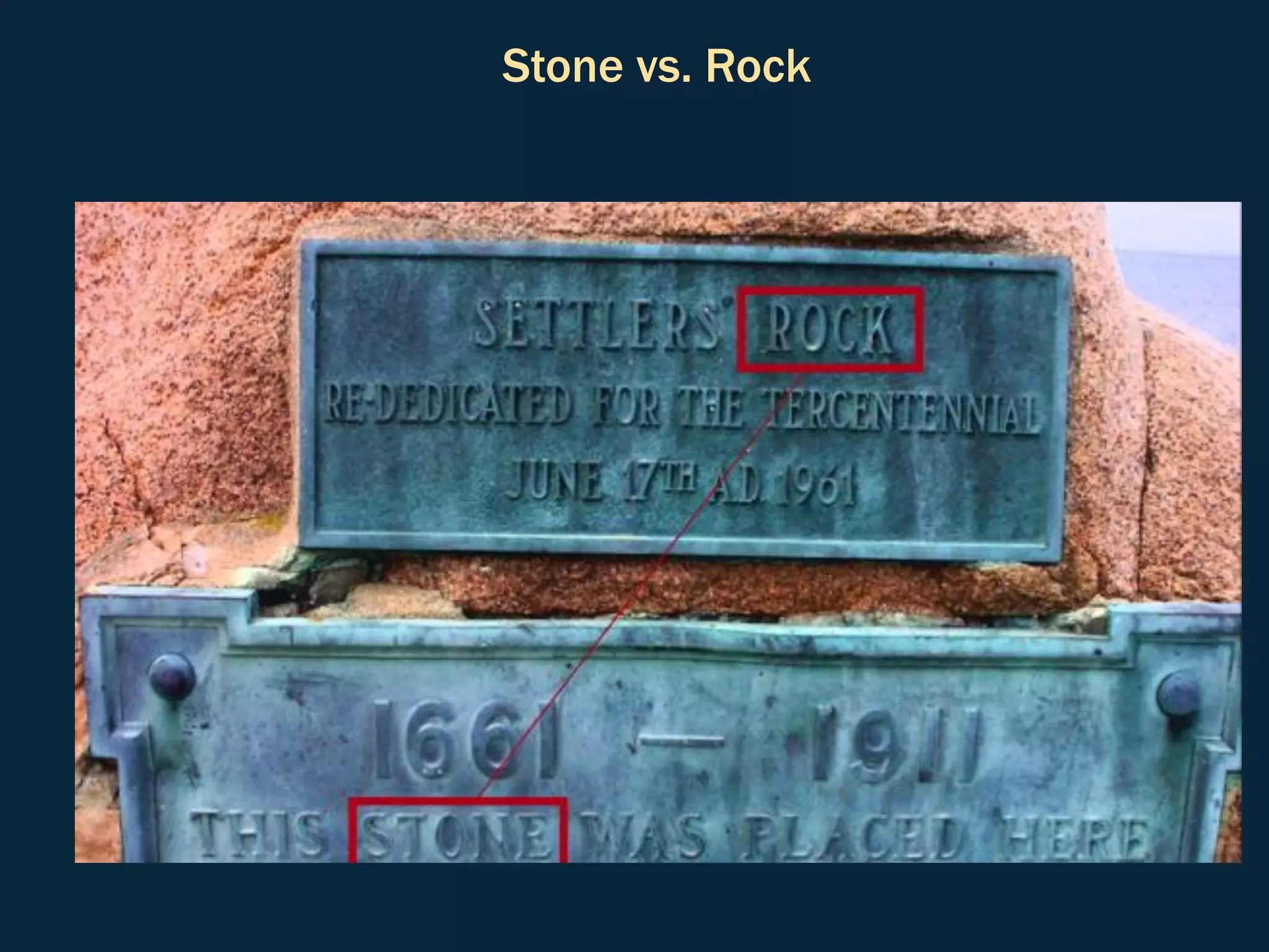

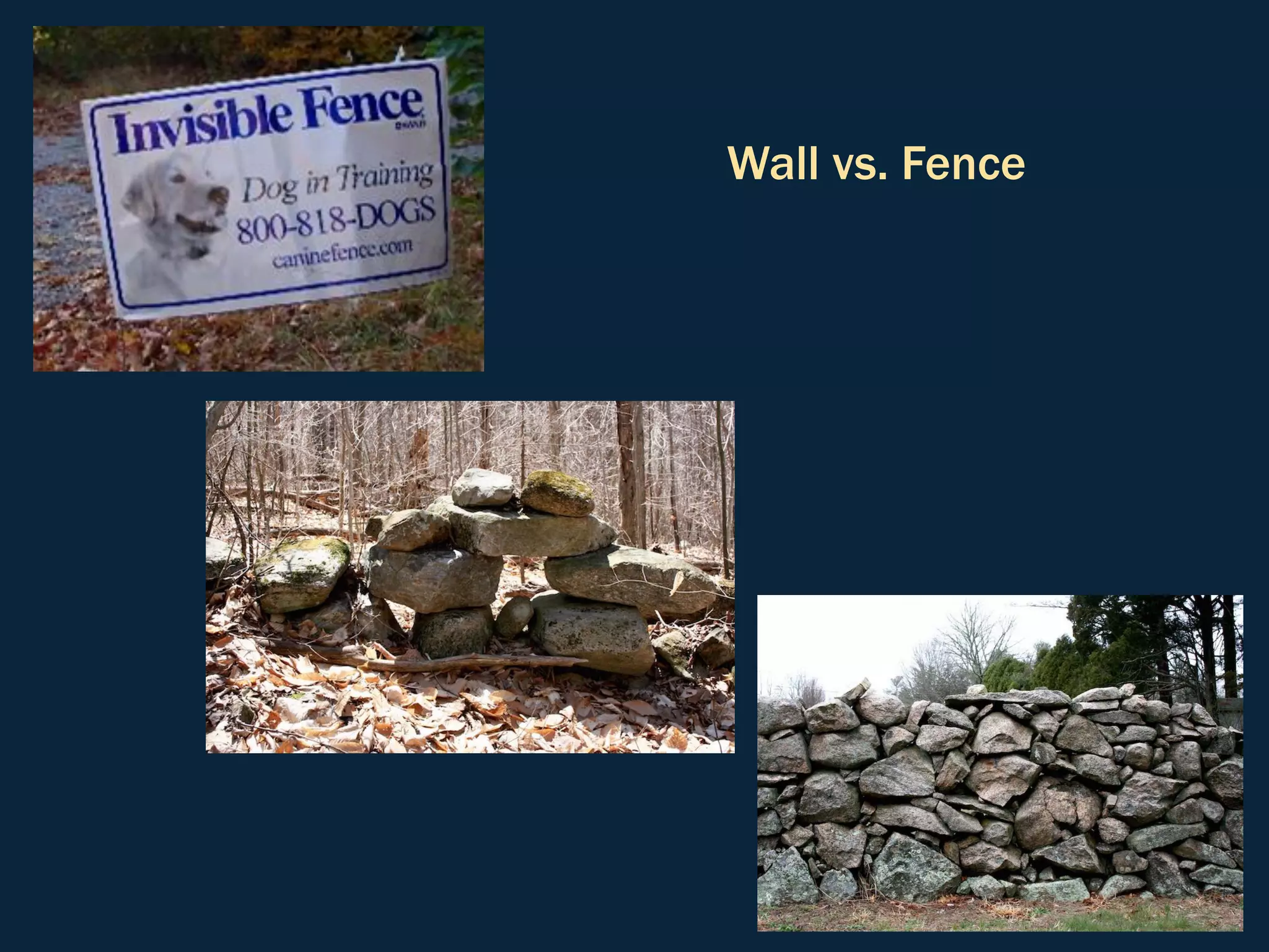
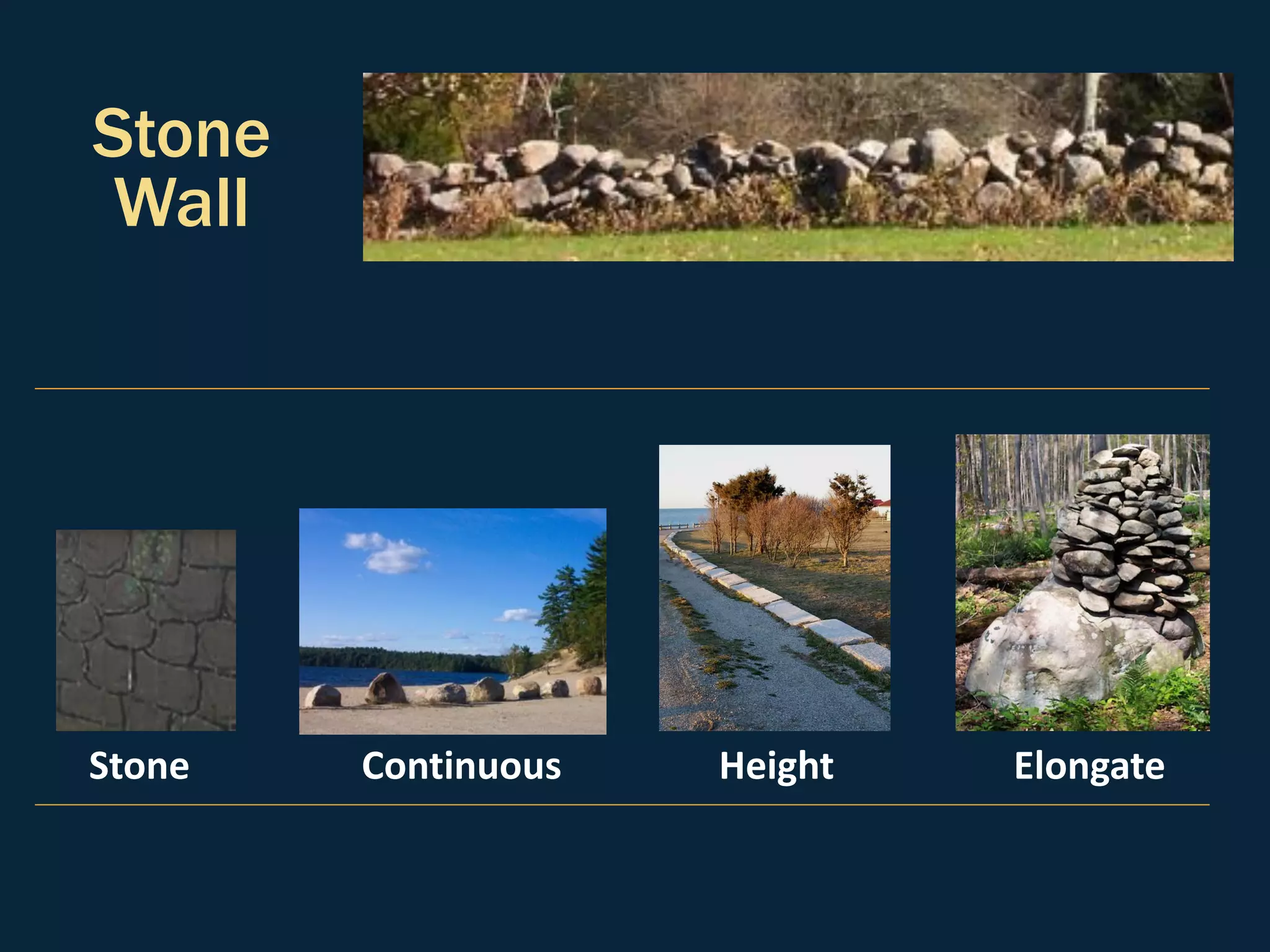


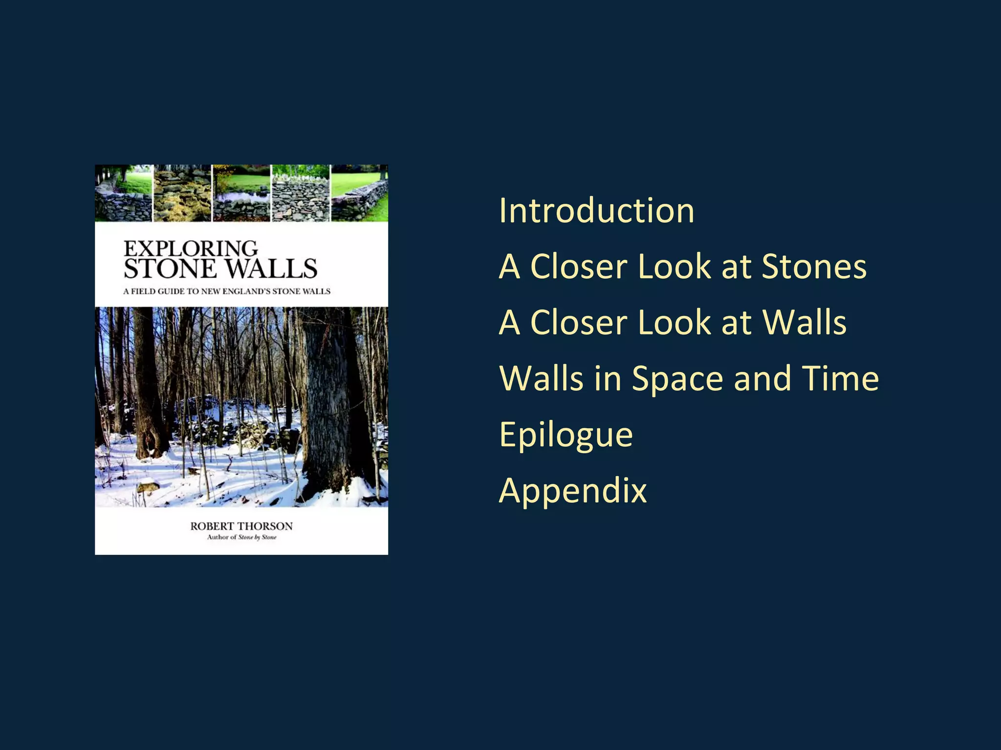

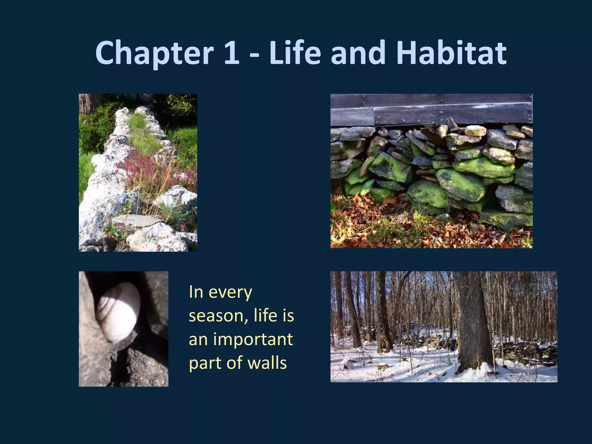
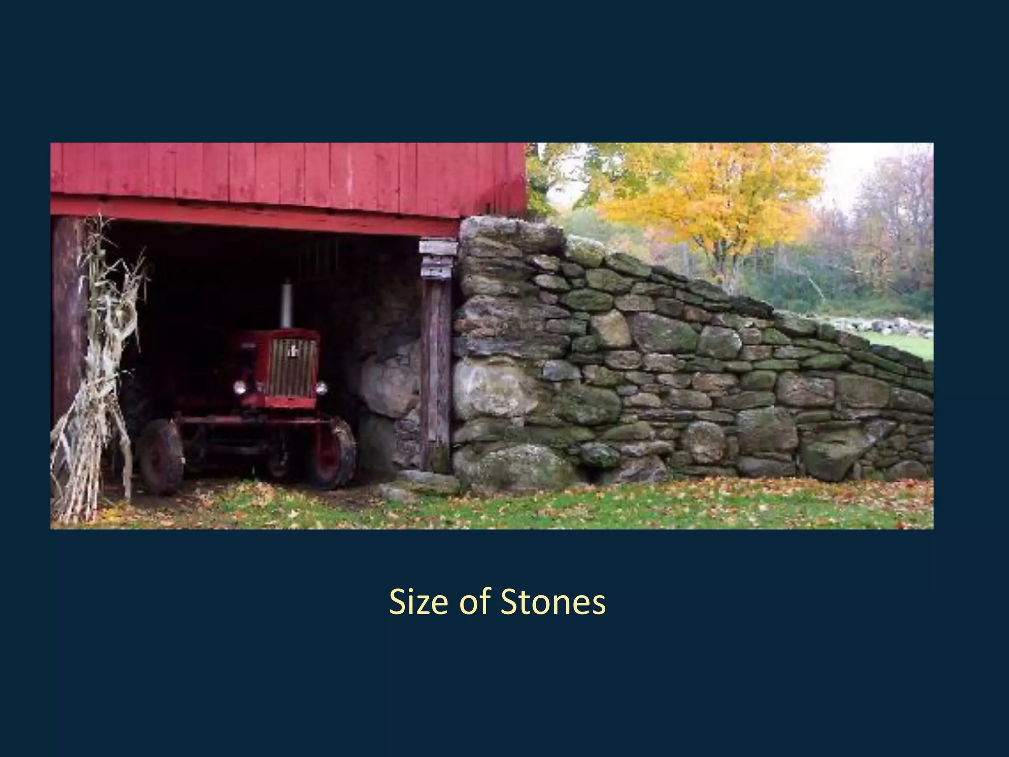
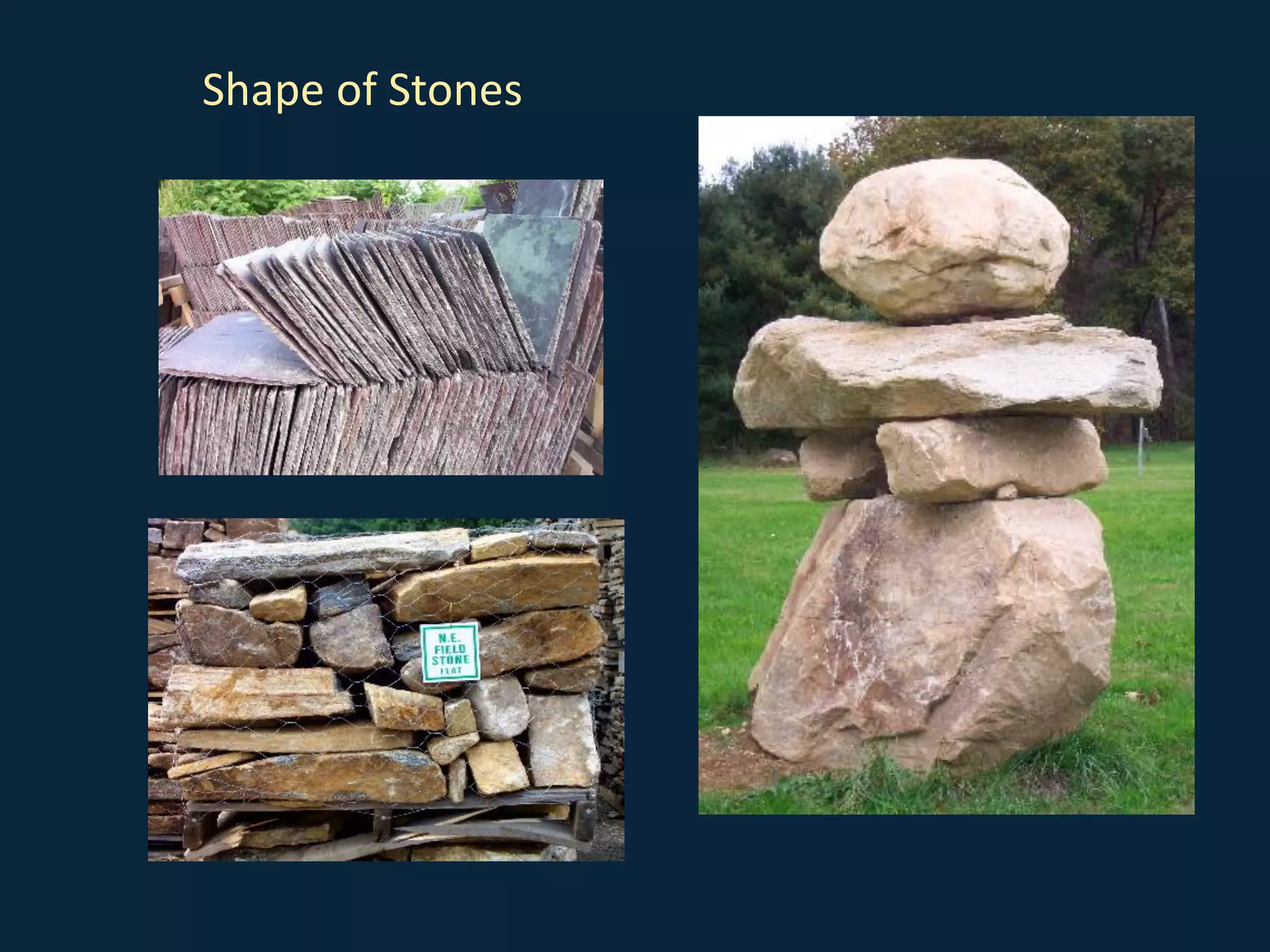
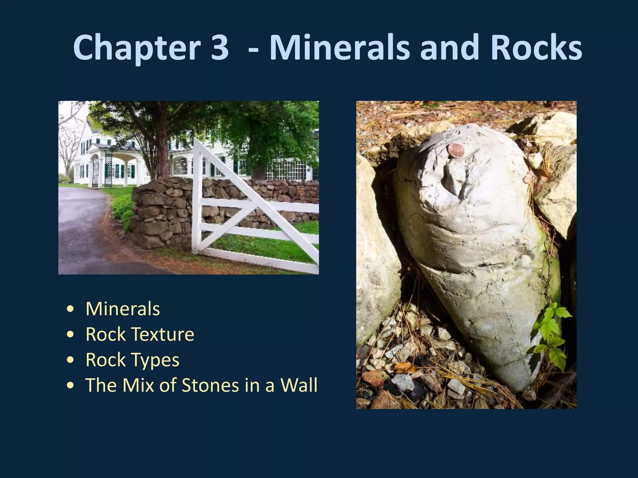

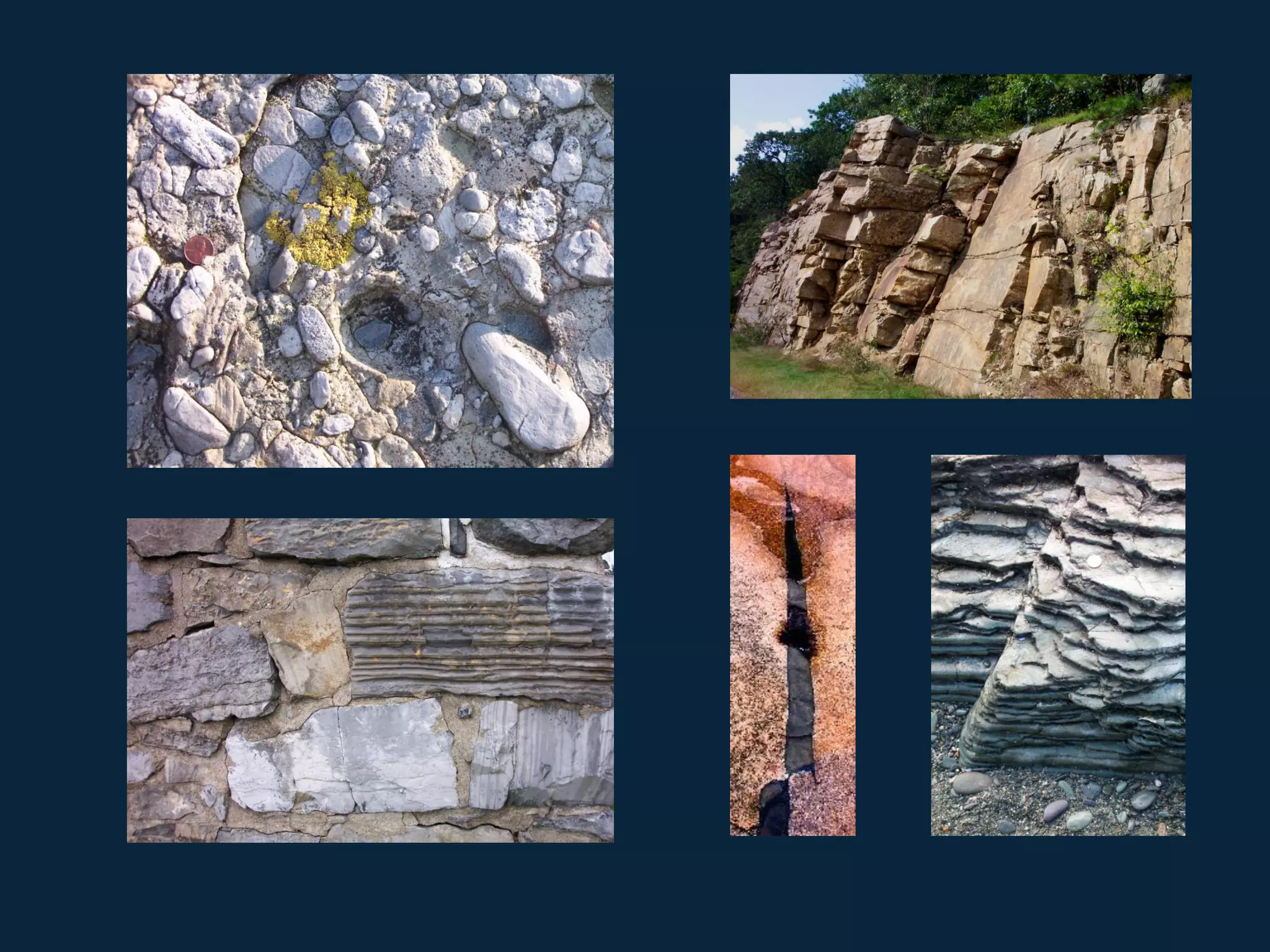

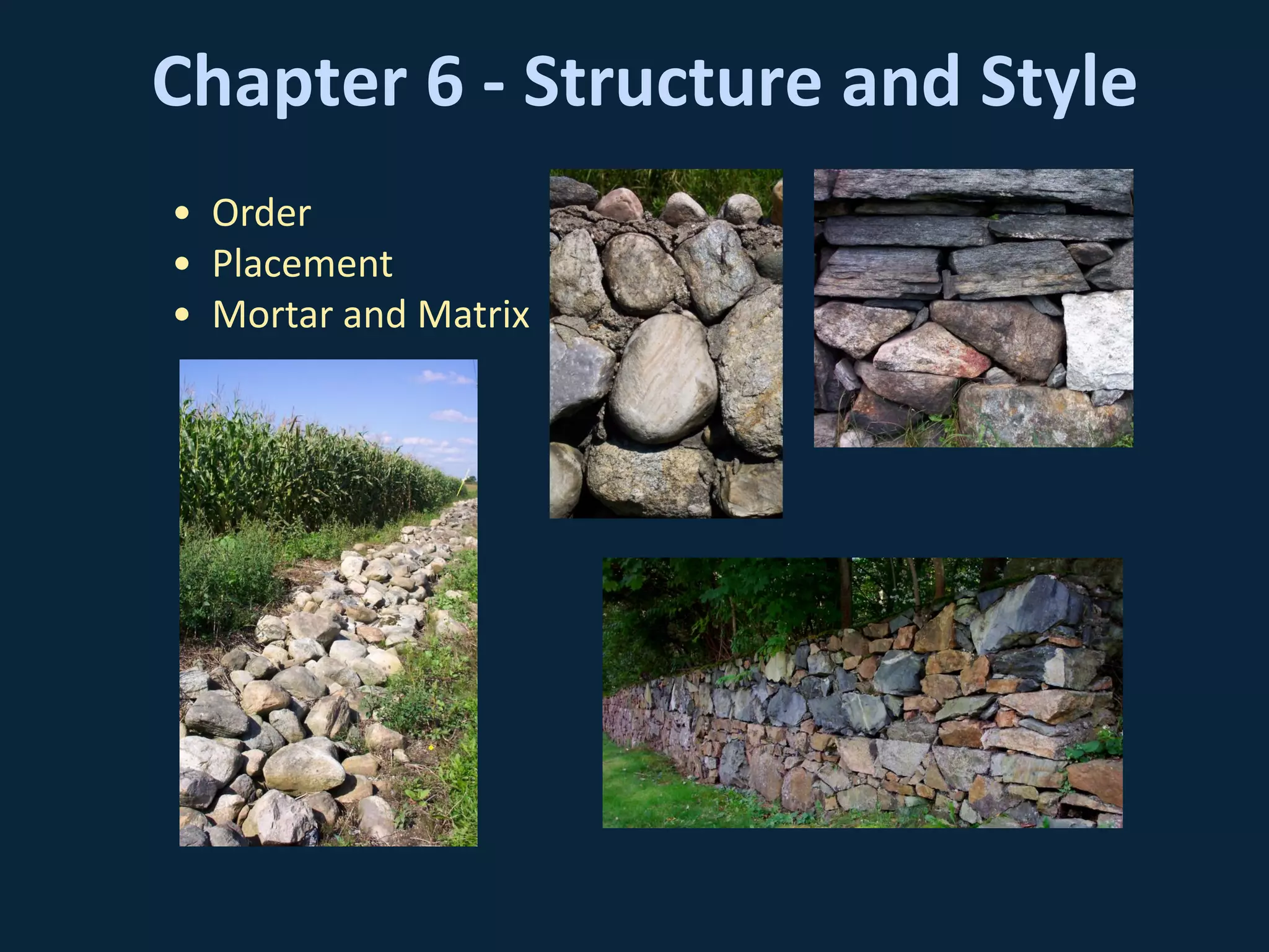
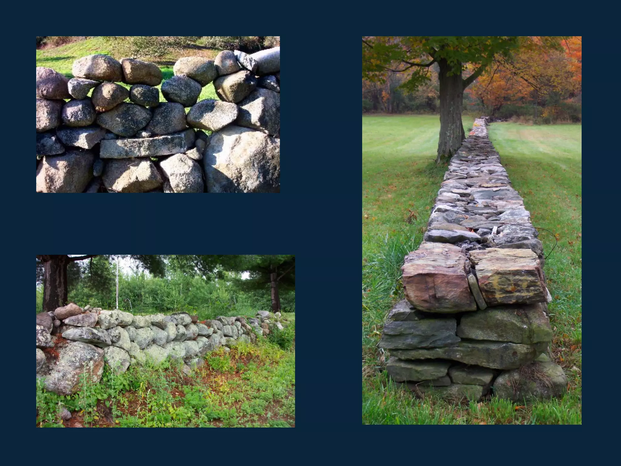
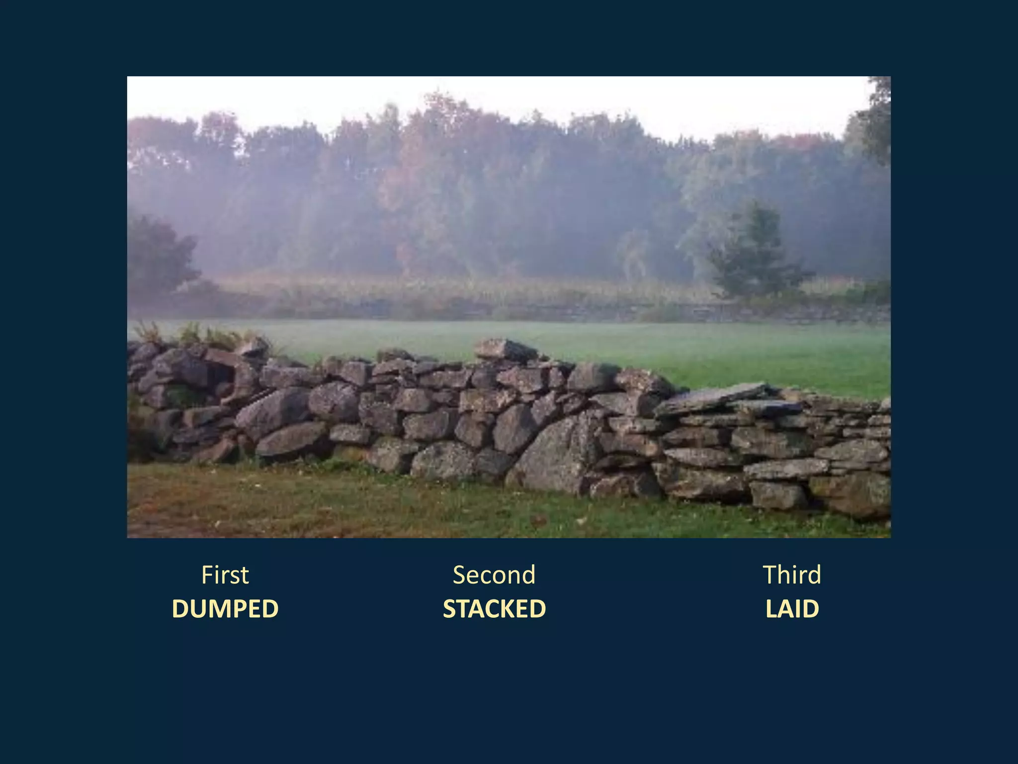
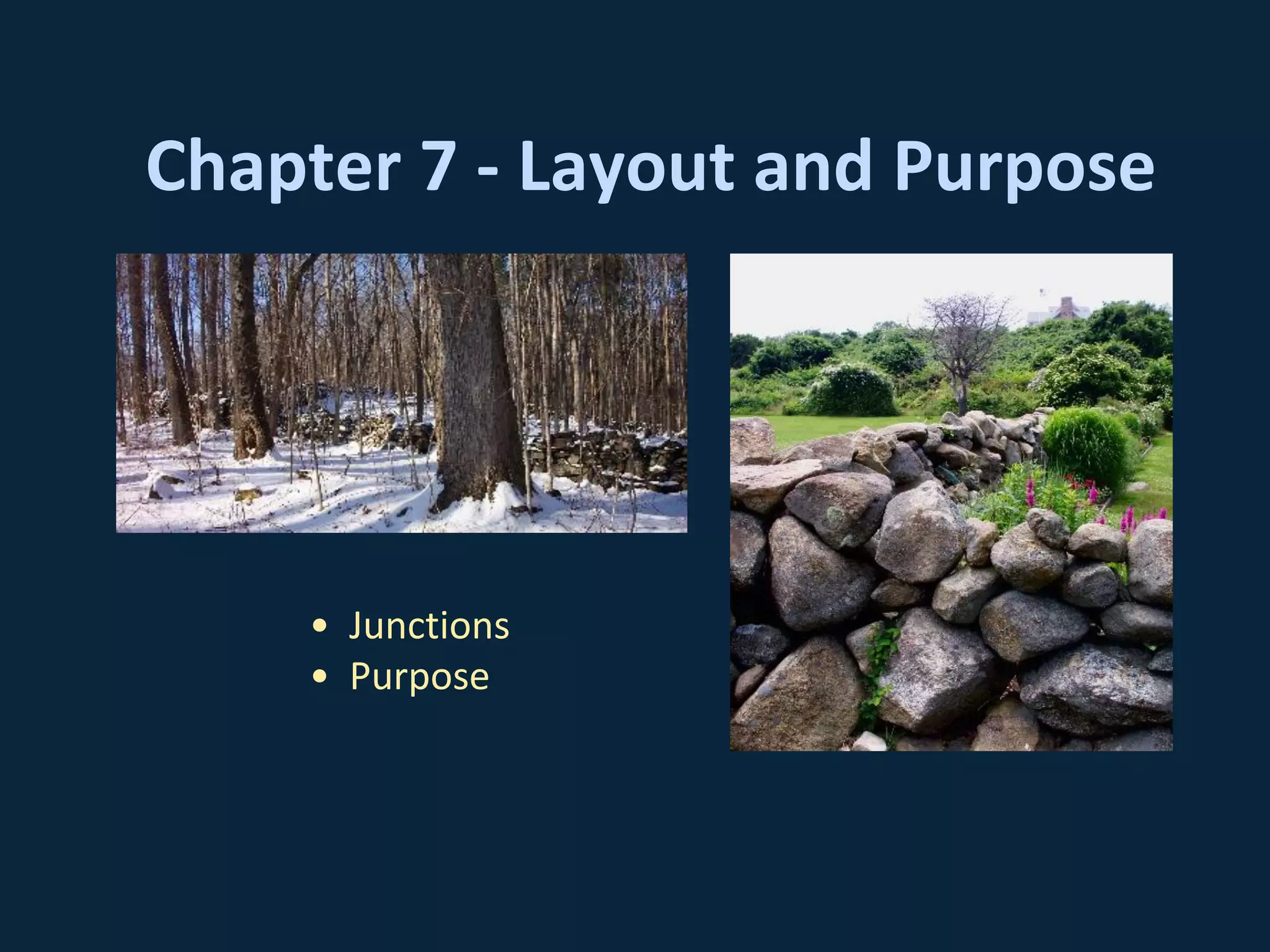
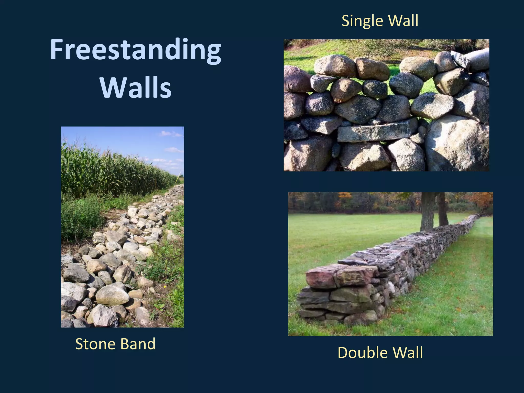
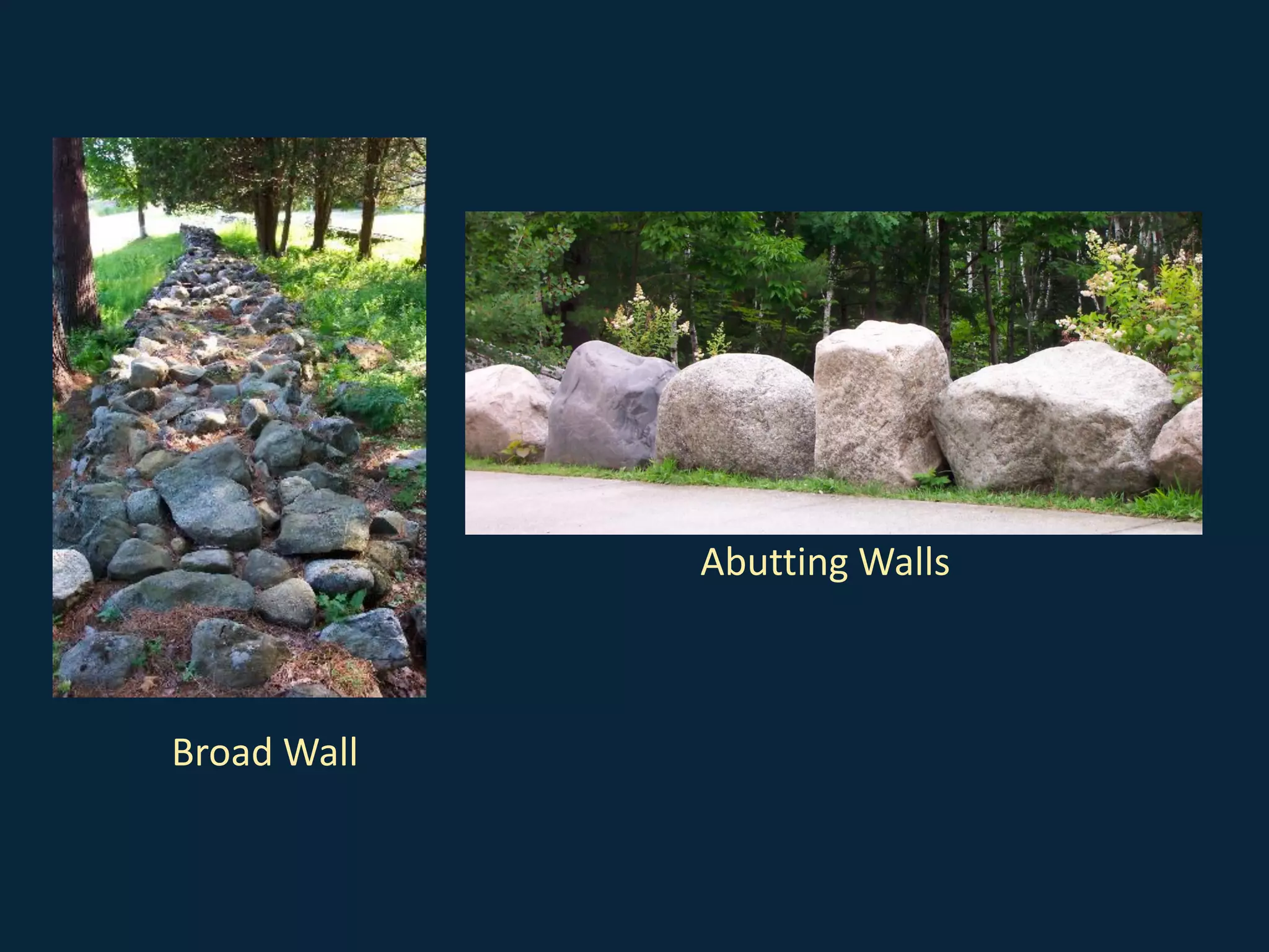

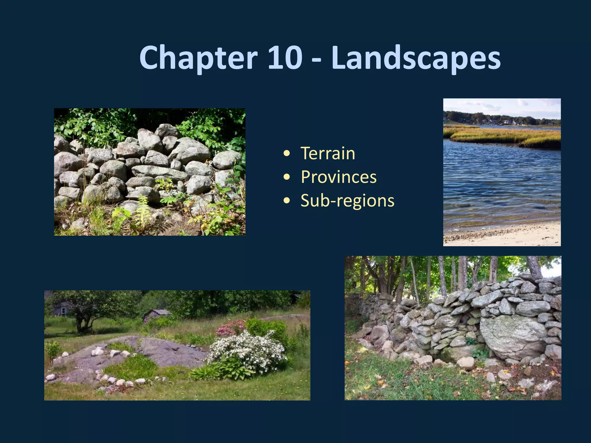
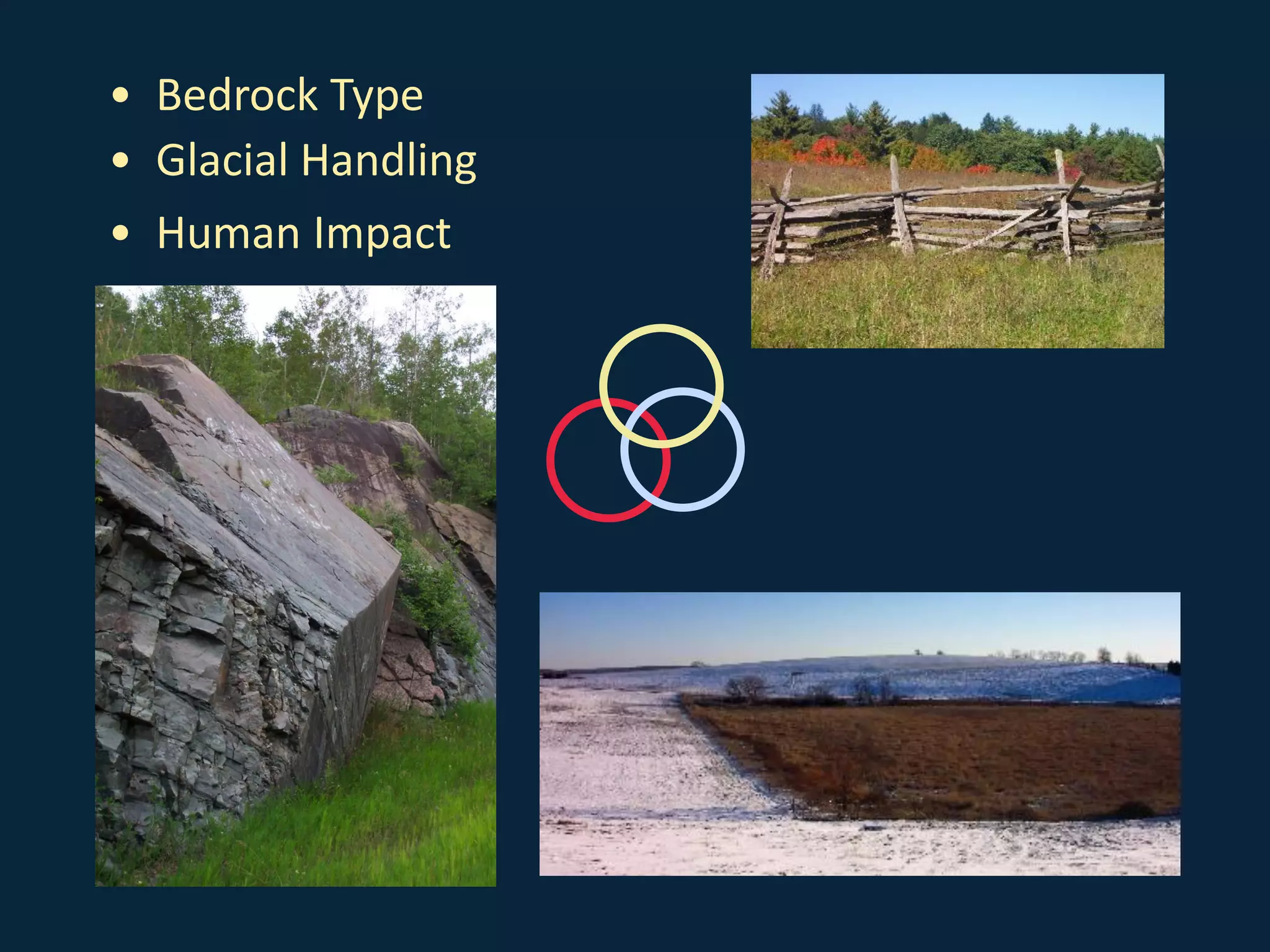
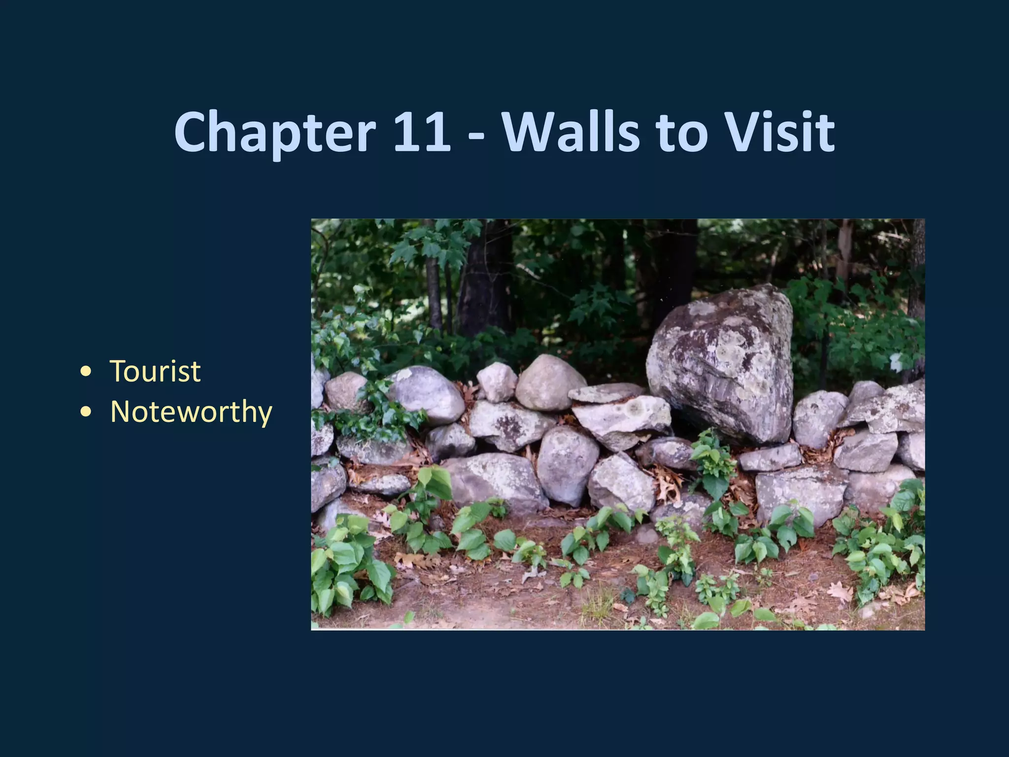
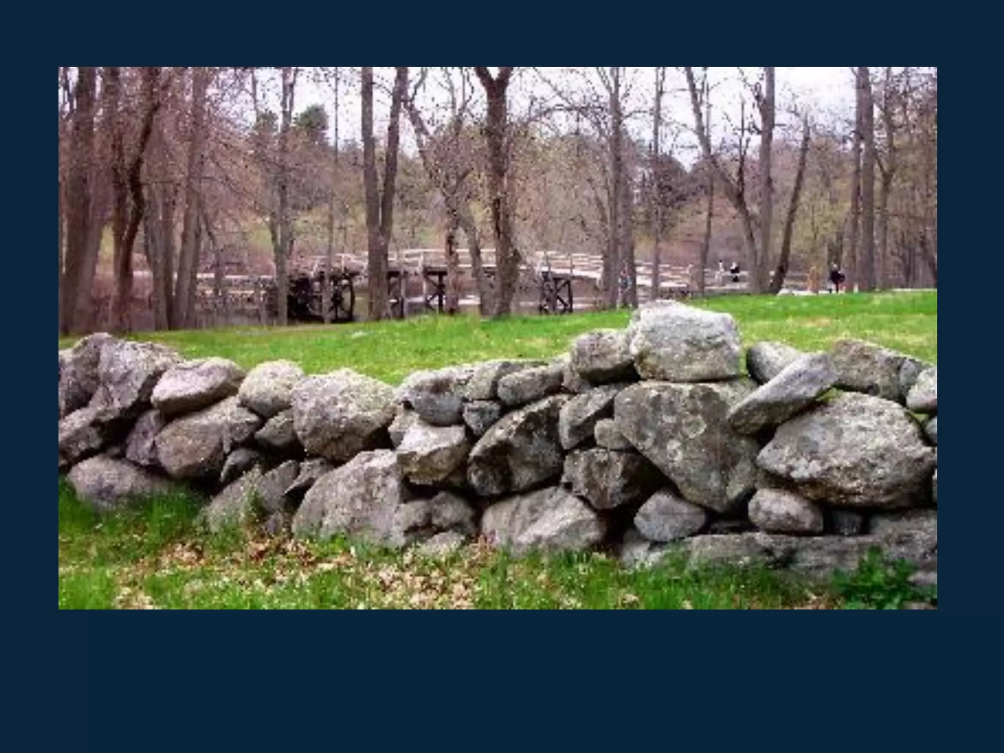
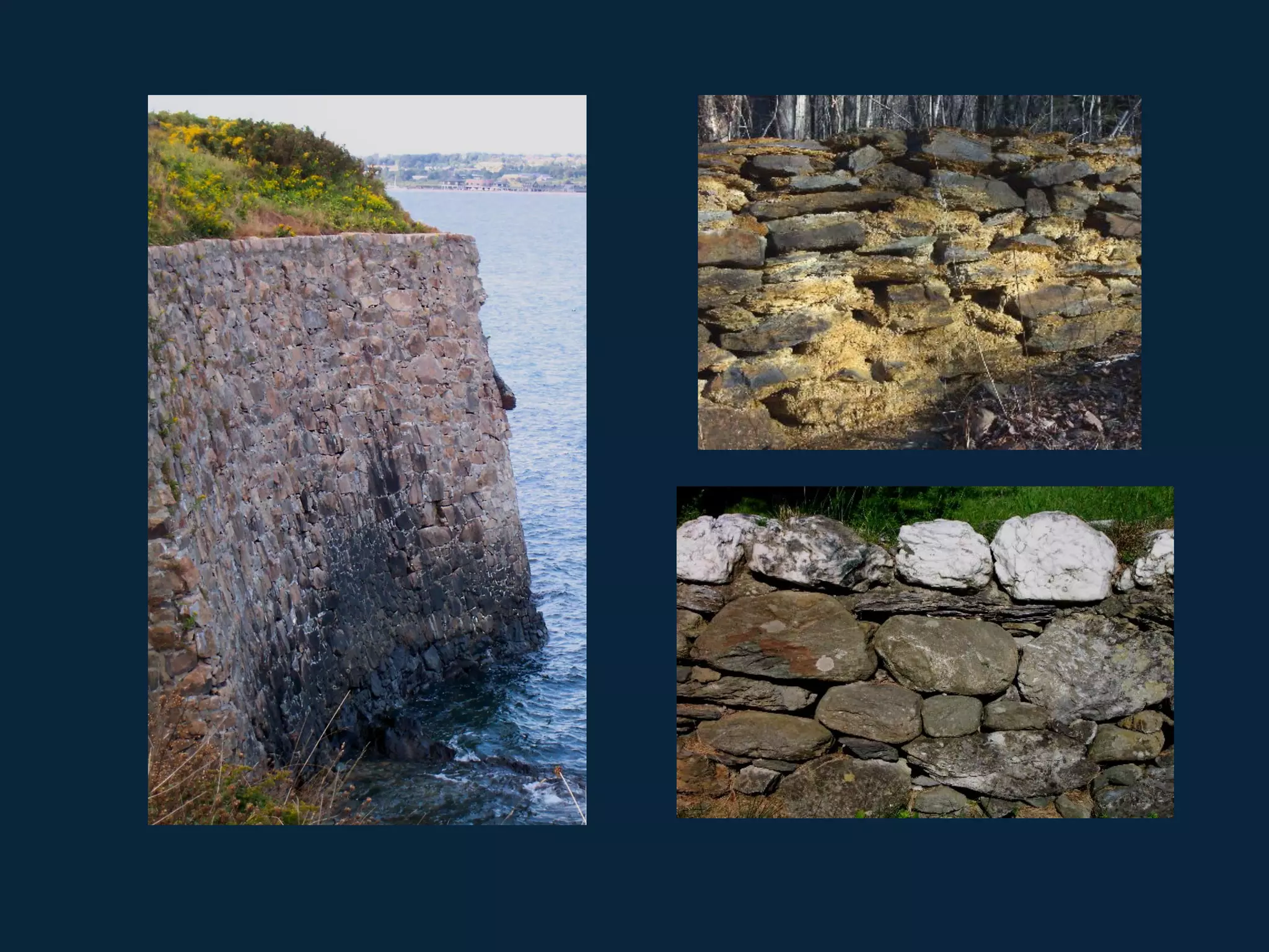


The document explores the historical, geological, and cultural significance of stone walls, detailing their features, functions, and the relationship between human activity and natural landscapes in New England. It provides a comprehensive overview of stone formation, wall construction techniques, and their classification, supported by various chapters and visual aids. The epilogue emphasizes the need to preserve these structures as integral to the cultural and natural heritage, warning against their indiscriminate removal.


