Downloaded 73 times
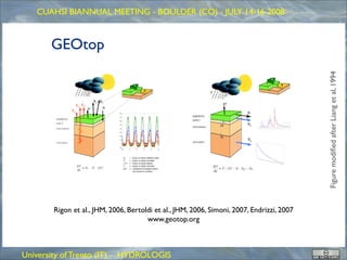
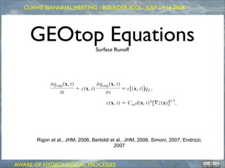
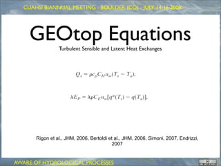
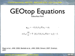
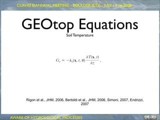
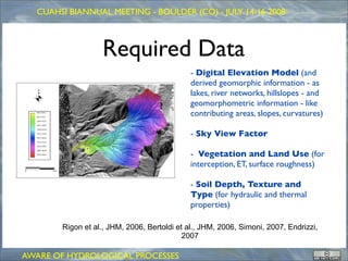
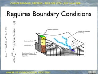
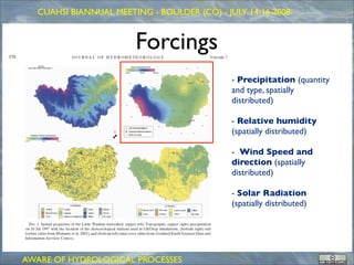

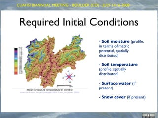


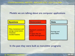


I. The document discusses the GEOtop modeling framework, which simulates hydrological processes. II. GEOtop uses equations to model surface runoff, subsurface flow, soil temperature, and other processes. It requires spatial data on topography, land use, soils, and time series data on meteorological forcings. III. The developers aim to make GEOtop more modular and able to exploit parallel computing, with the overall goal of advancing hydrologic science through open modeling frameworks.


![Heritage hetherington lidar_pdf[1]](https://cdn.slidesharecdn.com/ss_thumbnails/heritagehetheringtonlidarpdf1-100701210824-phpapp02-thumbnail.jpg?width=640&height=640&fit=bounds)


