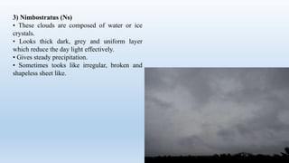
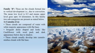
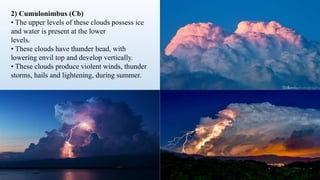
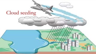
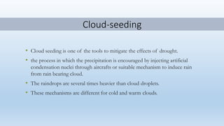
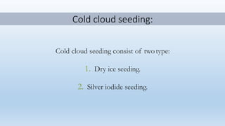
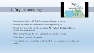
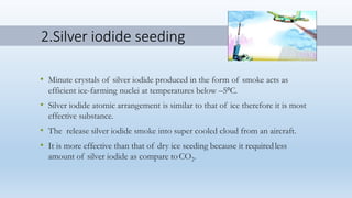
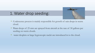
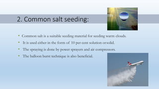
Cloud seeding is a method used to induce rain by injecting substances like silver iodide or dry ice into clouds. For cold clouds, dry ice or silver iodide seeding is used to encourage ice crystal formation. For warm clouds, water droplets or salt are introduced to aid coalescence of water drops. While cloud seeding aims to increase rainfall, its effectiveness is debated and it may potentially harm the environment or human health due to the toxicity of substances used.


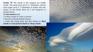


![Polymer [ बहुलक ] Chemistry Notes PDF - Irfanullah Mehar - JJ Sir Chemistry.pdf](https://cdn.slidesharecdn.com/ss_thumbnails/polymerchemistrynotespdf-irfanullahmehar-jjsirchemistry-260210172118-3f9b37f7-thumbnail.jpg?width=640&height=640&fit=bounds)
