Download to read offline
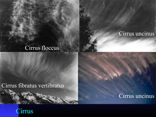
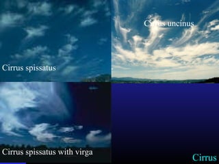
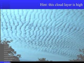
![Cirrus uncinus (mares’ tails)
Height (km): 7-10 km+
Falling light snow [fallstreaks], not reaching the ground.
distorted by upper-tropospheric wind shear.](https://image.slidesharecdn.com/cloudsandearthsystems-190319041249/85/Clouds-and-earth-systems-Awan-Lengkap-47-320.jpg)


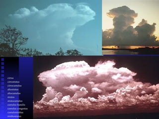

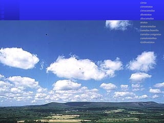
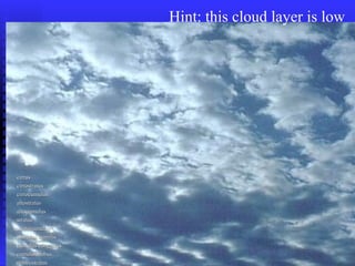

The document provides a comprehensive classification of clouds based on their altitude and type, explaining high-level, medium-level, and low-level clouds along with their characteristics and typical weather associations. It includes specific cloud types such as cirrus, cumulus, stratus, and nimbus, detailing their formation, visual appearance, and related weather phenomena. Additionally, it touches on the role of clouds in precipitation processes and their impact on the earth's radiation budget.


