Download to read offline

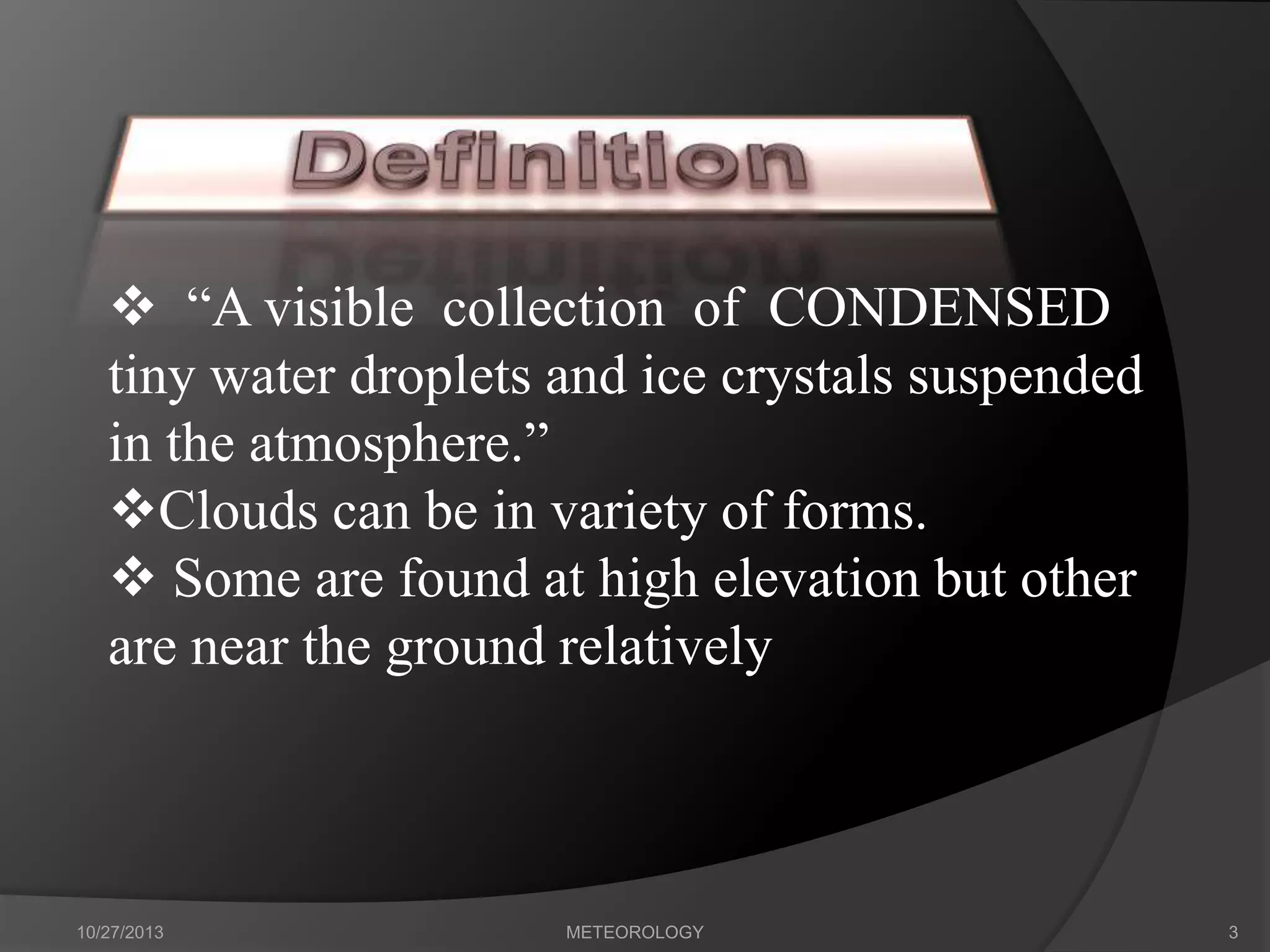
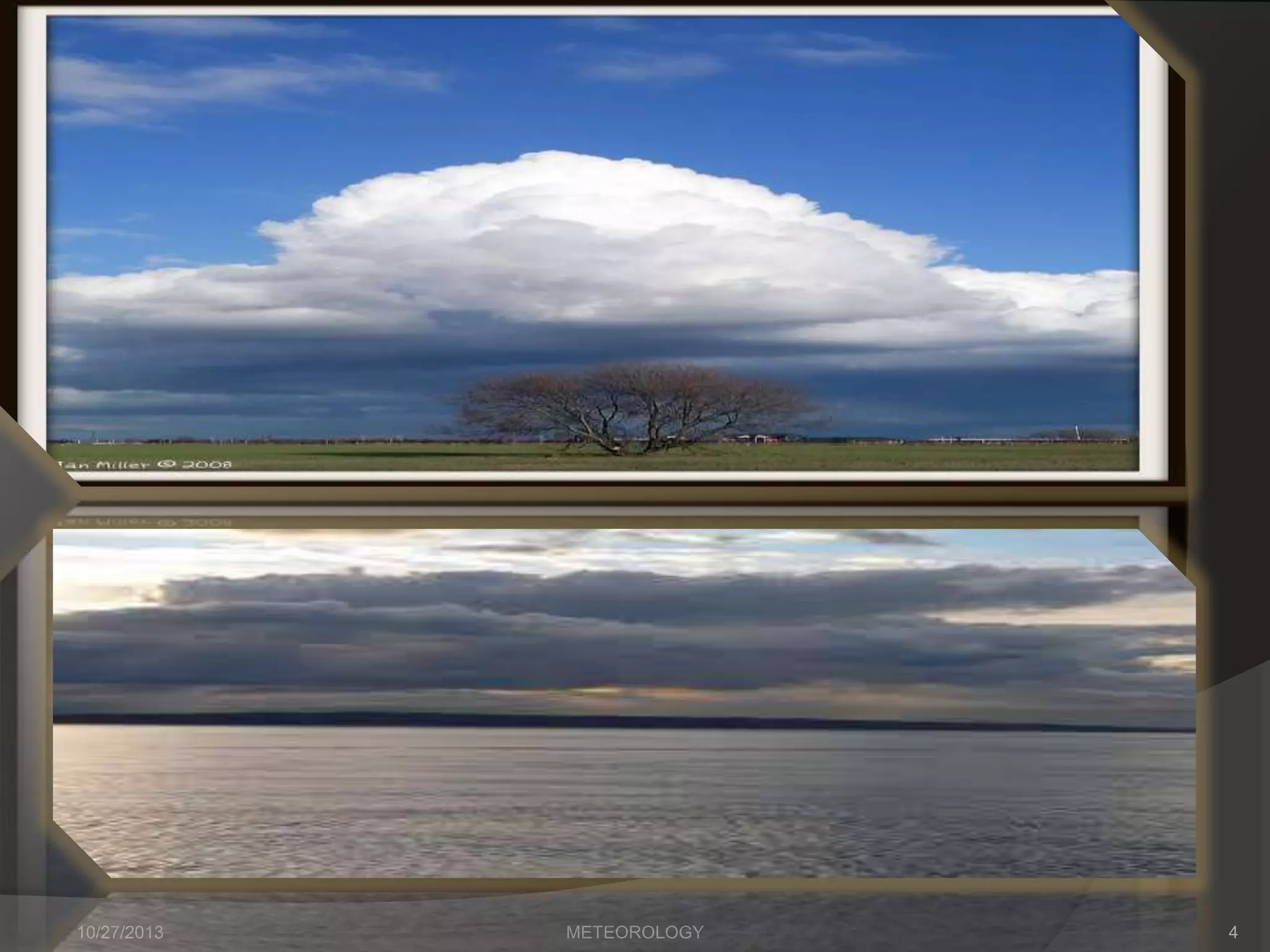
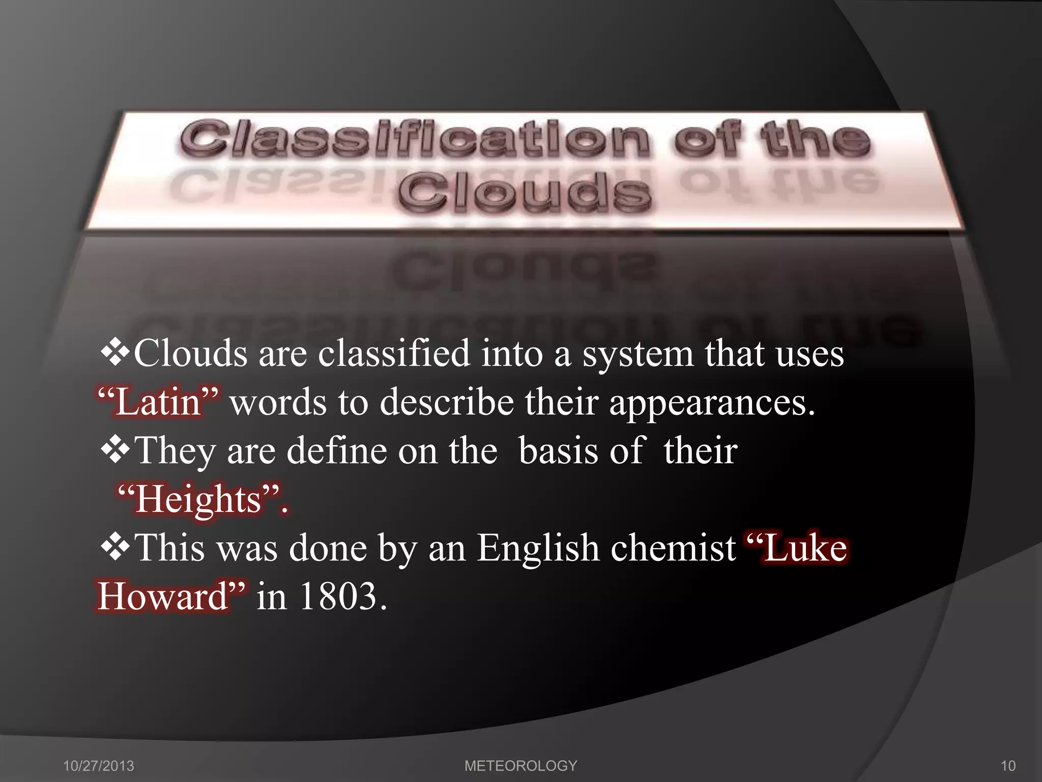
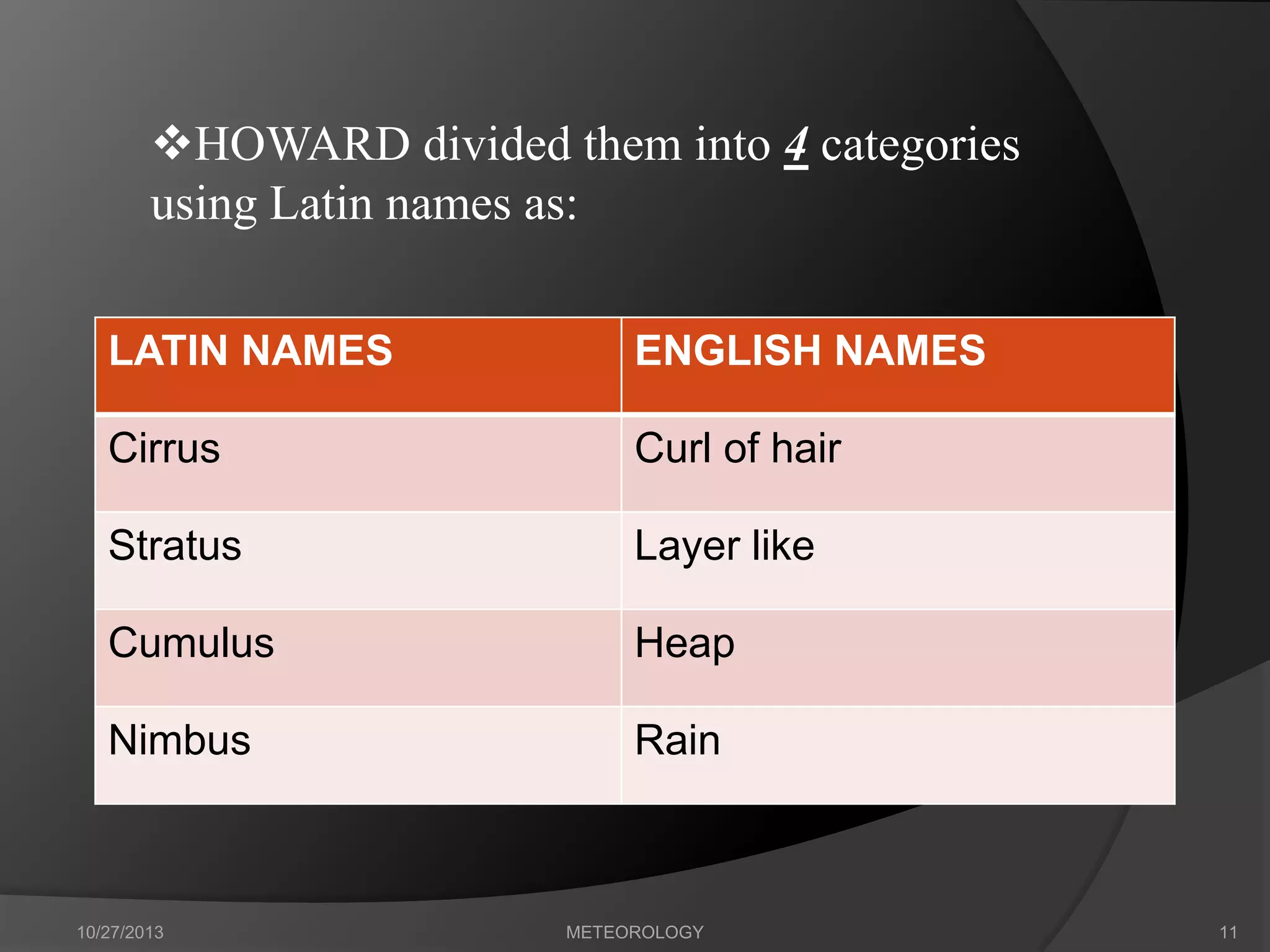
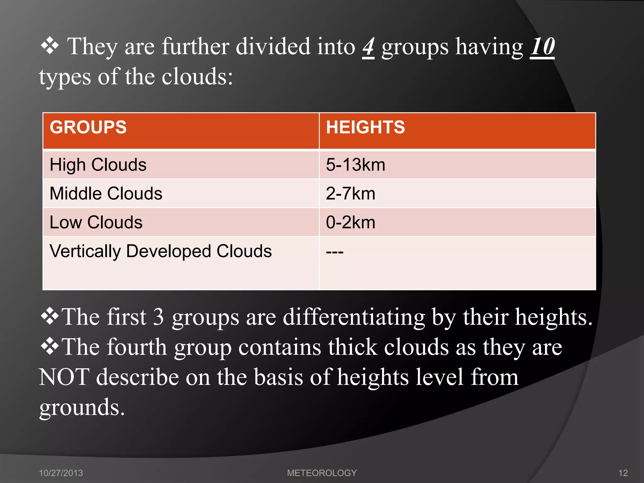

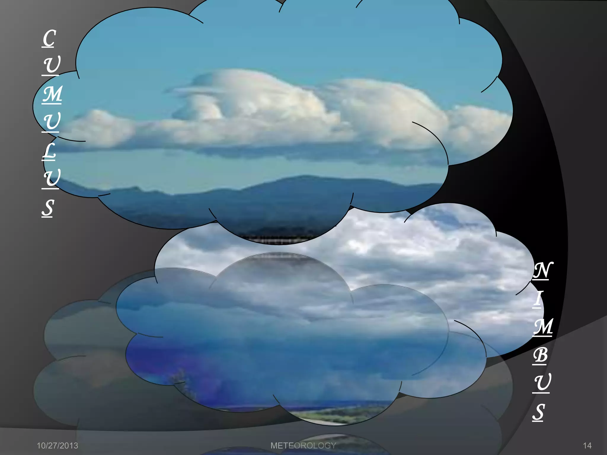
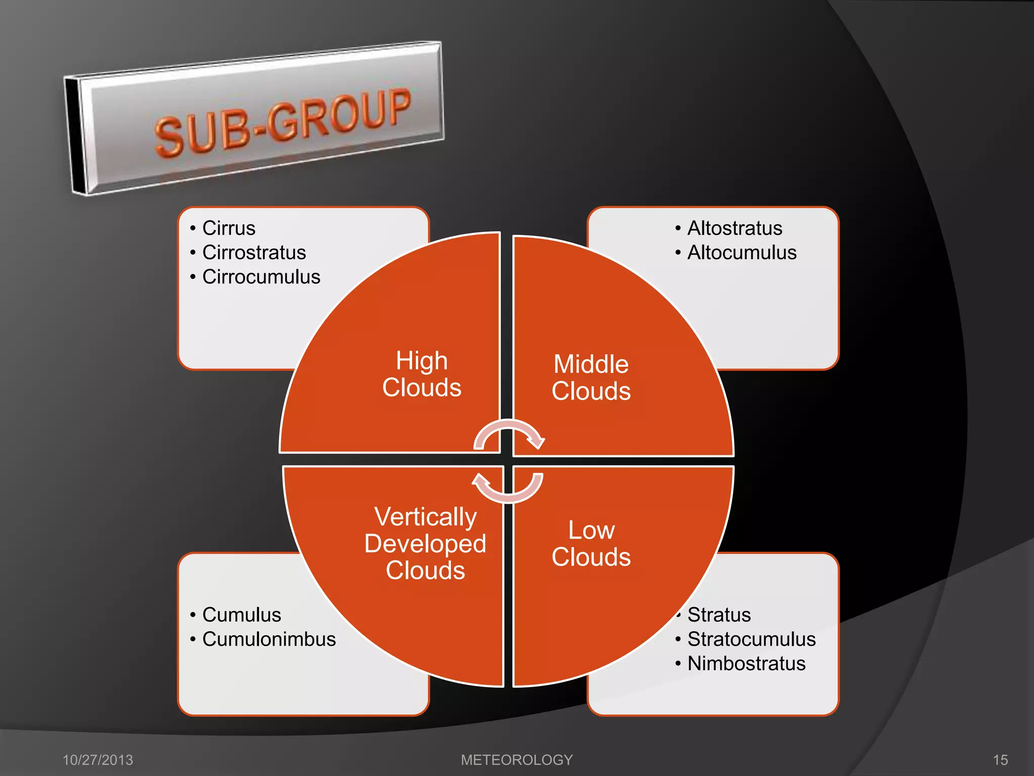

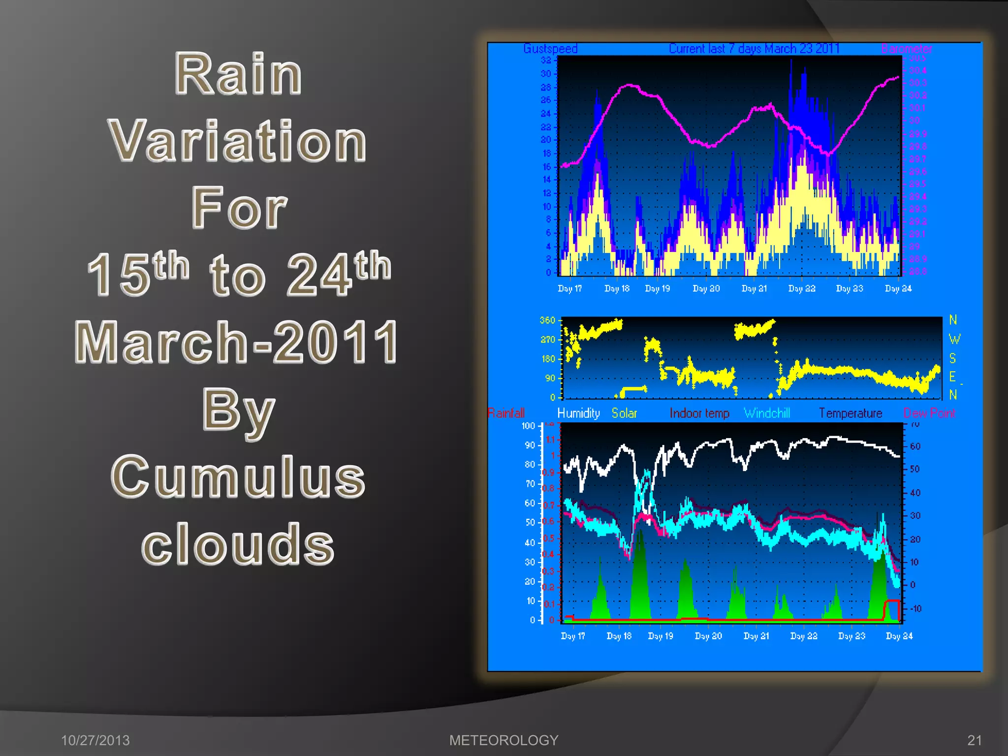
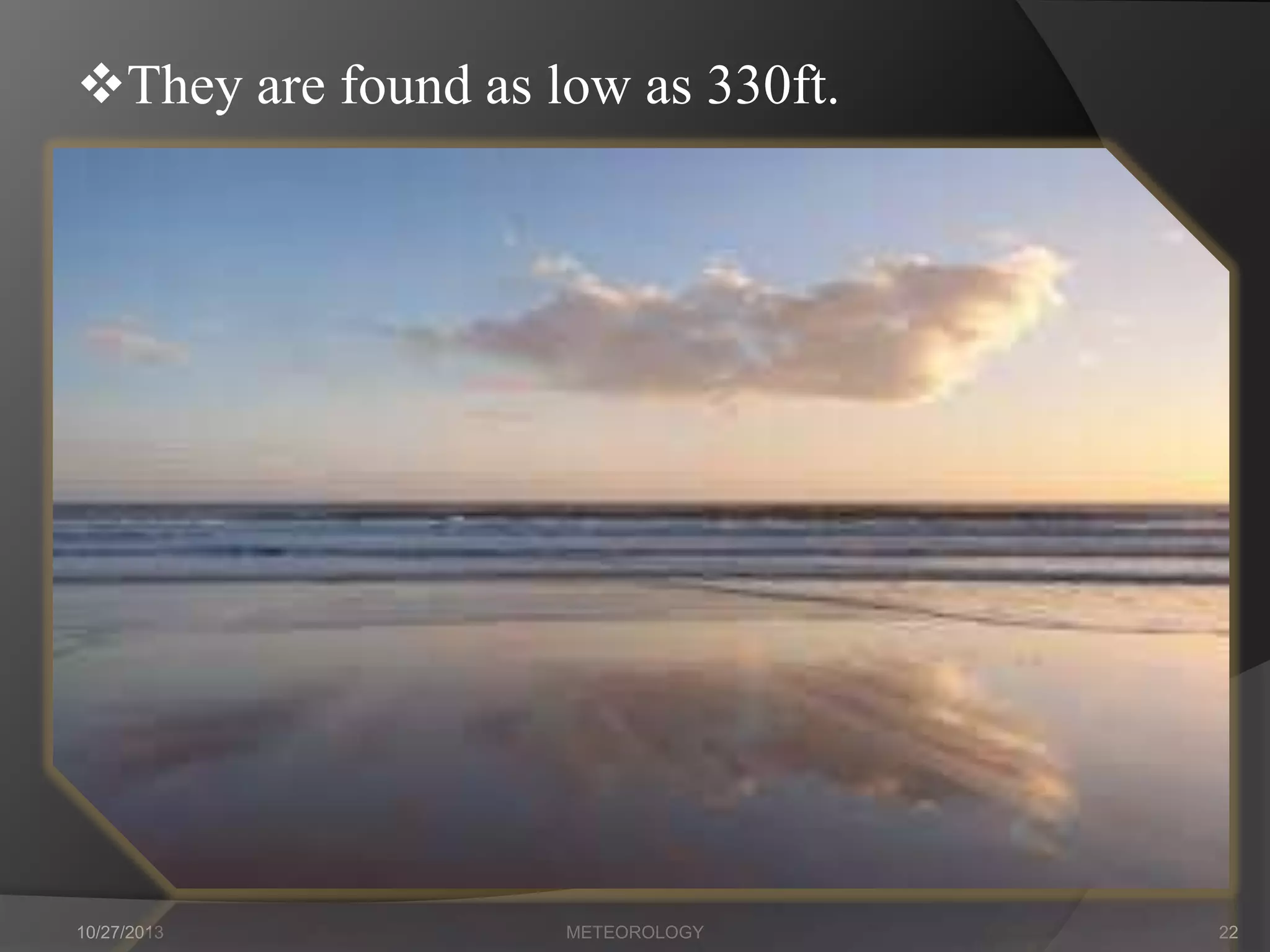


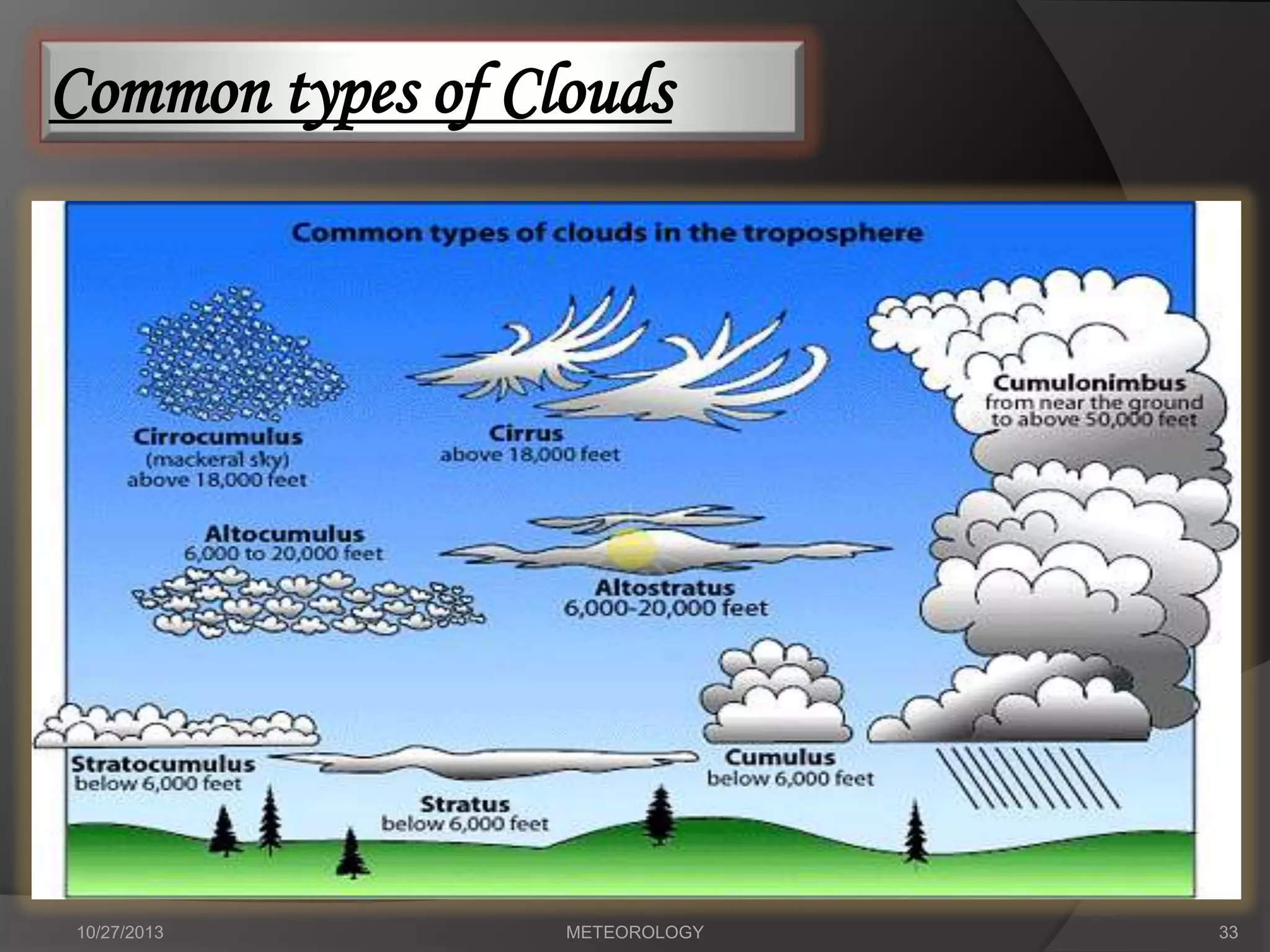


The document discusses different types of clouds based on their formation, appearance and classification. It describes clouds being classified into four main categories of high, middle, low and vertically developed clouds. It further discusses ten different types of clouds that fall under cumulus and cumulonimbus clouds. Key cloud types discussed include cirrus, stratus, cumulus, nimbus clouds and vertically developed cumulonimbus clouds.


![18.3[1]](https://cdn.slidesharecdn.com/ss_thumbnails/18-31-100415123747-phpapp01-thumbnail.jpg?width=640&height=640&fit=bounds)