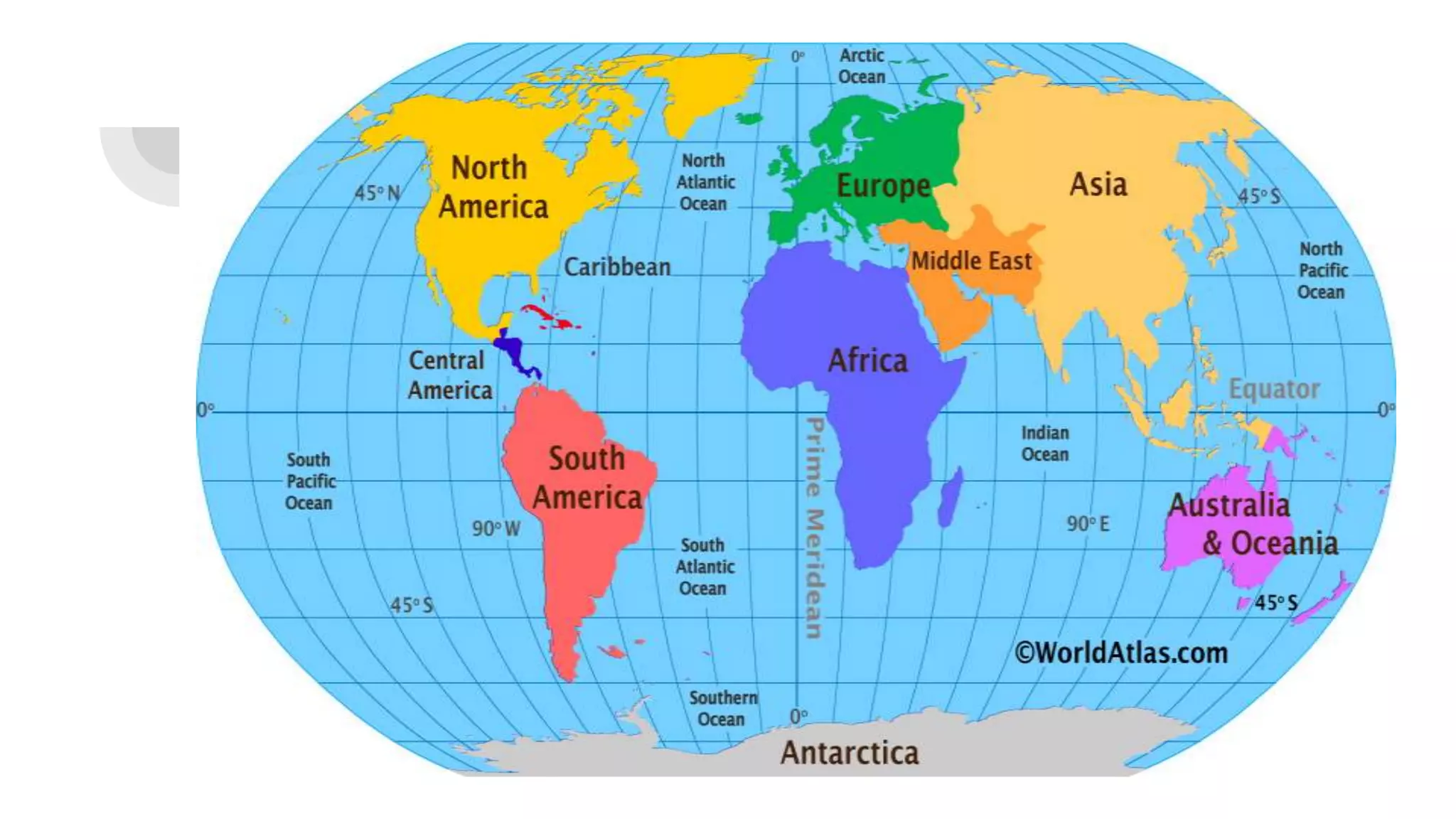
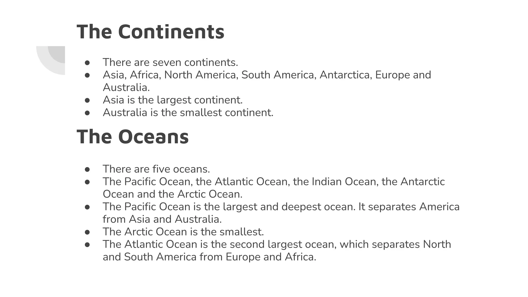
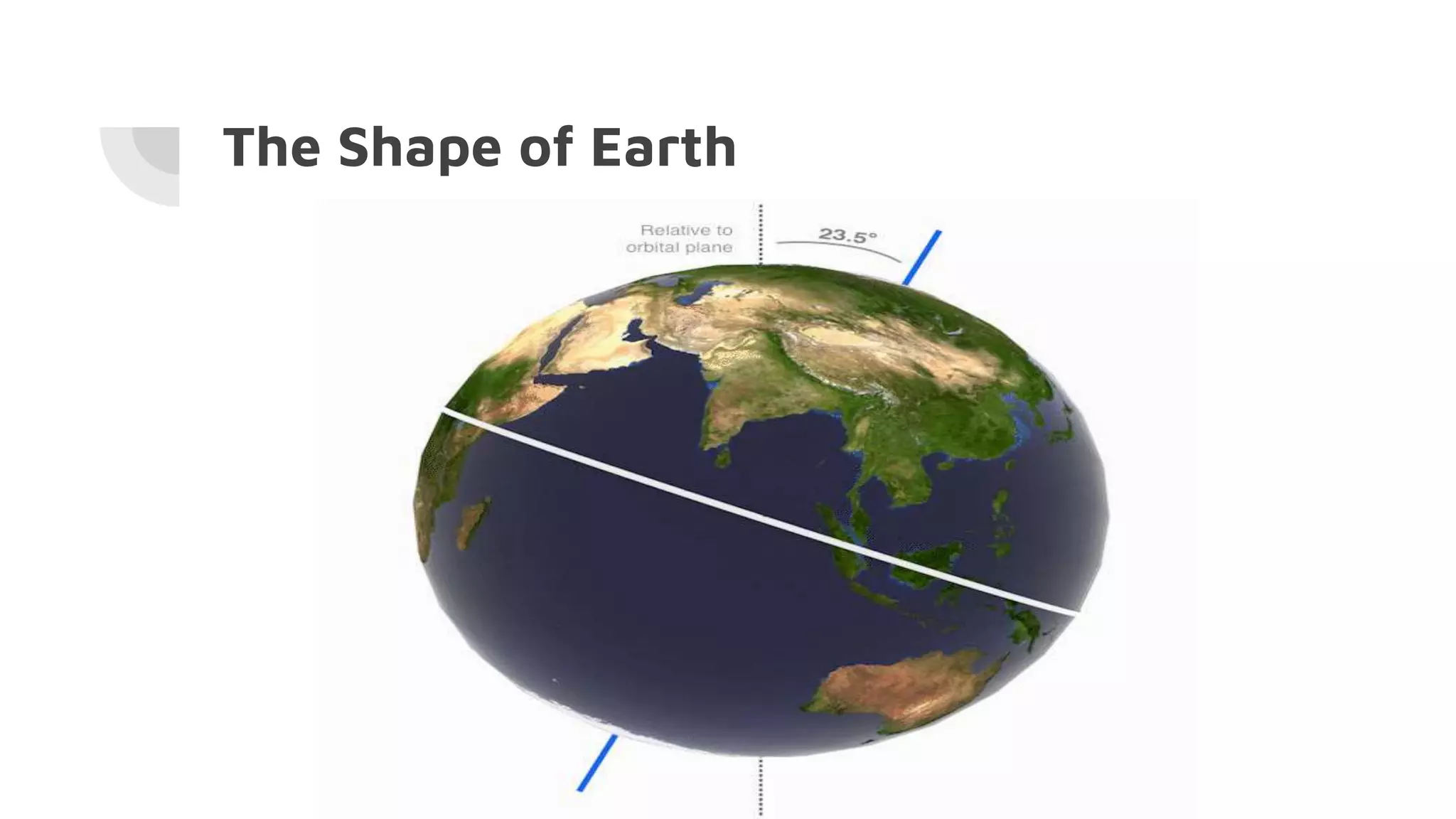
CLASS 5TH
SOCIAL STUDIES
CHAPTER-1
Maps and Globes
By Anamika Mishra (PRT)
Social Studies
The Continents
● There are seven continents.
● Asia, Africa, North America, South America, Antarctica, Europe and
Australia.
● Asia is the largest continent.
● Australia is the smallest continent.
The Oceans
● There are five oceans.
● The Pacific Ocean, the Atlantic Ocean, the Indian Ocean, the Antarctic
Ocean and the Arctic Ocean.
● The Pacific Ocean is the largest and deepest ocean. It separates America
from Asia and Australia.
● The Arctic Ocean is the smallest.
● The Atlantic Ocean is the second largest ocean, which separates North
and South America from Europe and Africa.
The Shape of Earth
Globe
● Round model of the Earth.
● It represents the Earth in a simple and accurate way.
● Helps to understand the Earth’s movements
on its axis and around the sun.
Map
● A book of maps is called an Atlas.
● Maps can not be as accurate as
globes but maps show more details
especially when a small area is being
mapped.
Types of Maps
Language of Maps
The ratio between the distance on the ground and the
distance shown on the map is called scale of the map.
Directions
Homework
1. Write the Questions and Answers in the notebook.
2. Complete the worksheet.
3. MAP WORK
Mark the seven continents and five oceans on the map of the
world.

Class 5th Social Studies Chapter 1 Book- 'My wonderful book of Social Studies'

  • 1.
    CLASS 5TH SOCIAL STUDIES CHAPTER-1 Mapsand Globes By Anamika Mishra (PRT) Social Studies
  • 3.
    The Continents ● Thereare seven continents. ● Asia, Africa, North America, South America, Antarctica, Europe and Australia. ● Asia is the largest continent. ● Australia is the smallest continent. The Oceans ● There are five oceans. ● The Pacific Ocean, the Atlantic Ocean, the Indian Ocean, the Antarctic Ocean and the Arctic Ocean. ● The Pacific Ocean is the largest and deepest ocean. It separates America from Asia and Australia. ● The Arctic Ocean is the smallest. ● The Atlantic Ocean is the second largest ocean, which separates North and South America from Europe and Africa.
  • 4.
  • 5.
    Globe ● Round modelof the Earth. ● It represents the Earth in a simple and accurate way. ● Helps to understand the Earth’s movements on its axis and around the sun.
  • 6.
    Map ● A bookof maps is called an Atlas. ● Maps can not be as accurate as globes but maps show more details especially when a small area is being mapped.
  • 7.
  • 8.
    Language of Maps Theratio between the distance on the ground and the distance shown on the map is called scale of the map. Directions
  • 12.
    Homework 1. Write theQuestions and Answers in the notebook. 2. Complete the worksheet. 3. MAP WORK Mark the seven continents and five oceans on the map of the world.