Changing Land Use
•Download as PPTX, PDF•
2 likes•1,355 views

A lesson to support OCR B theme 2 Settlement

Recommended
More Related Content
Similar to Changing Land Use
Similar to Changing Land Use (20)
More from Liz Smith
More from Liz Smith (20)
Recently uploaded
Recently uploaded (20)
Changing Land Use
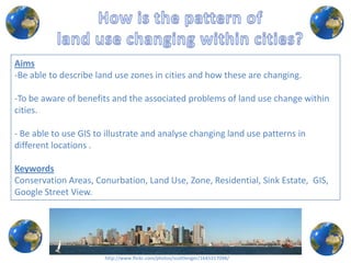
- 1. Aims -Be able to describe land use zones in cities and how these are changing. -To be aware of benefits and the associated problems of land use change within cities. - Be able to use GIS to illustrate and analyse changing land use patterns in different locations . Keywords Conservation Areas, Conurbation, Land Use, Zone, Residential, Sink Estate, GIS, Google Street View. http://www.flickr.com/photos/scottlenger/1645317098/
- 2. What is Google Street View?
- 3. Visit the Funky Geography blog and click on the link to access the Google map of London, complete with 10 place marks. Zoom into a place mark on the map. Drag the little orange Street View peg man onto the place mark and you will enter street view mode and see a 360° panorama for that location.
- 4. What are the main land use activities that you can see? Is there any new type of land use? If so, what is it to be? What effects will it have on what is near it? E.g. Is there any different land use that might work well together or perhaps create conflict? How will different people benefit and lose? Who owns the land and at what cost? Who makes the decisions about the land use that you can see?
- 5. Extended Task Choose a different location in London- note down the location. Write some guideline ideas that identify ways in which land used could be changed so that it can be made more sustainable. E.g. Land use that helps give people a good quality of life, access to services and jobs, waste disposal, saving energy and transport and other ideas. http://www.flickr.com/photos/scottlenger/1645317098/