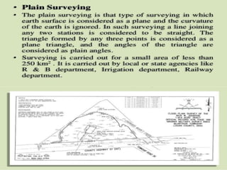
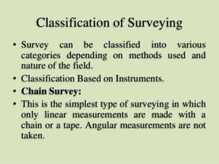
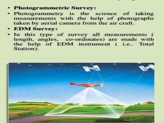
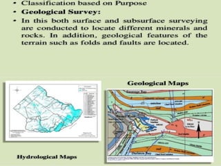
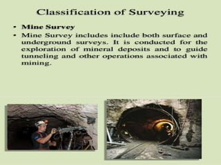
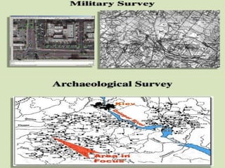
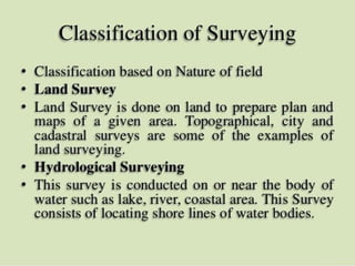
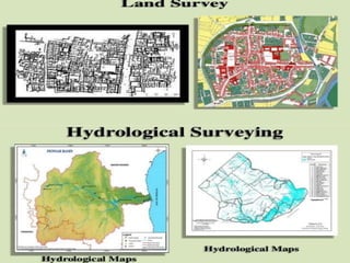
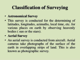
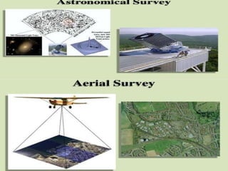
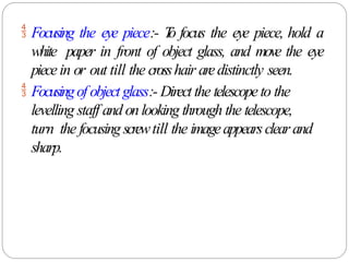
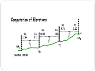
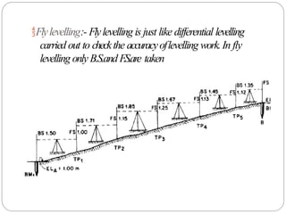
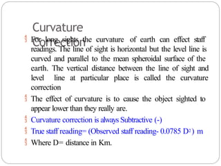
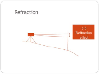
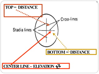
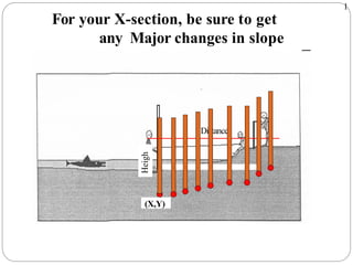
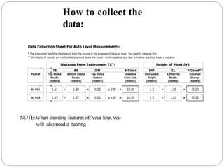
The document discusses the classification and principles of surveying, specifically focusing on levelling, which is the process of determining the relative heights of various points. It covers definitions, instruments used in levelling, types of levelling methods, benchmarks, and common errors encountered during the process. Key topics include different types of levels, levelling staffs, and adjustments necessary for accurate measurements.


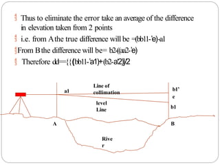


![Module-IV SURVEYING-I [BTCVC304]](https://cdn.slidesharecdn.com/ss_thumbnails/module-iv-191020180053-thumbnail.jpg?width=640&height=640&fit=bounds)


