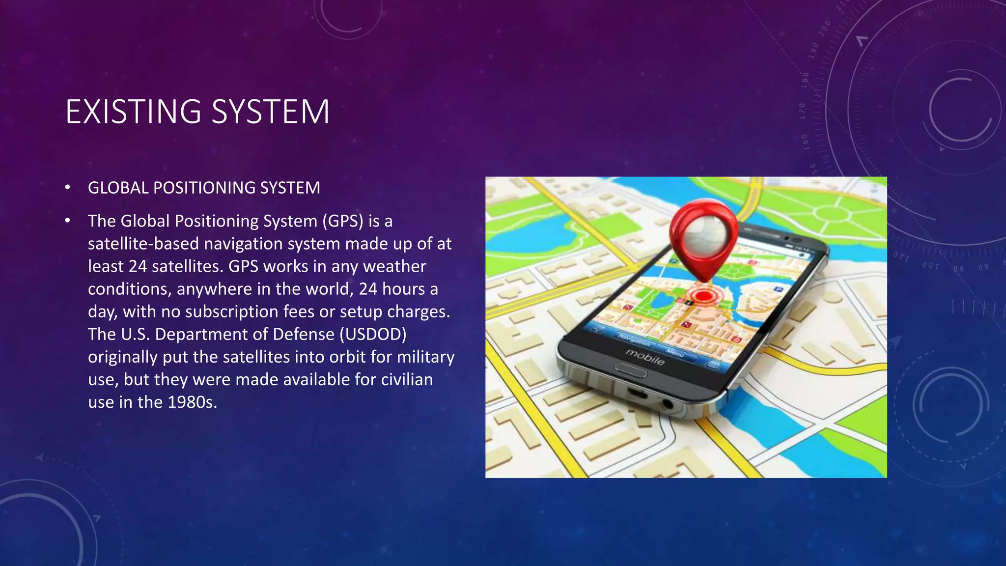
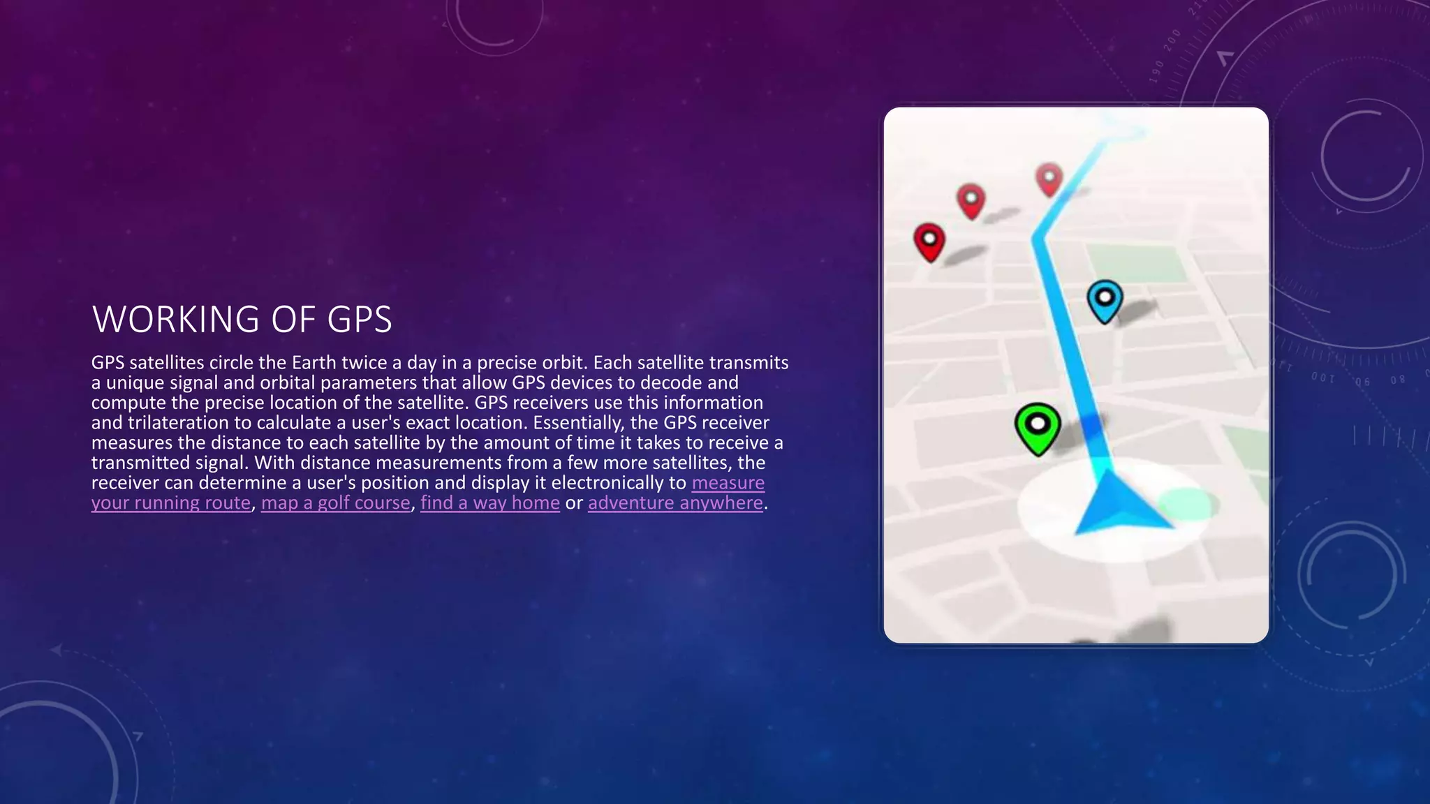
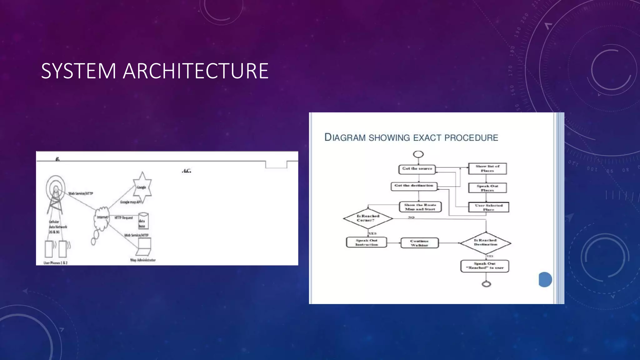
AN EVENT DRIVEN CAMPUS
NAVIGATION SYSTEM USING ANDRIOD
PLATFORM
OVERVIEW
• OBJECTIVE
• INTRODUCTION
• EXISTING SYSTEM
• VOICE BASED NAVIGATION SYSTEM
• SOFTWARE REQUIREMENTS
• HARDWARE REQUIREMENTS
• CONCLUSION.
ABSTRACT
• A University Campus may be very large it may have many campuses. Every year lots new student gets
admitted in the university Many new buildings are built, new courses are started and some department,
canteen, library, etc. in the campus and how to find those places from current location. It creates
problem to the new come to reach easily and timely in the desired location. The new faculty number,
staff and visitors also face same problem inside campus. Moreover, these does not exist an efficient
system to inform about any event which will happens just few minutes or a few hours later in the
university campus with its proper locationand shortest path from current location. Nowadays, most of
the student, faculty member members and staff use android phone for personal purpose. A Global
positioning system based on map application will be most helpful to locate desired place and
shortest path from current location and to get update of event on map with its location. Thus
it will reduce frustration and confusion of any body inside the campus. This paper present the
architecture and design of a Google map based application on android platform The application has
been implement using android SDK.
INTRODUCTION
• During the last few years the development of mobile devices has gain significant progress with respect
to memory capability advanced processing power and higher data transfer rate to only few
performance parameters. Now day android mobile because android in open source mobile operating
system based on Linux with java support and its come with free and open source software license
Location based services provide personalize services to the mobile client according to their current
location. People can track them on location and also navigate from one location to another very easy.
The location tracking technique can be integrated with smart phone which will work with different
network GSM, GPRS & CDMA.
EXISTING SYSTEM
• GLOBAL POSITIONING SYSTEM
• The Global Positioning System (GPS) is a
satellite-based navigation system made up of at
least 24 satellites. GPS works in any weather
conditions, anywhere in the world, 24 hours a
day, with no subscription fees or setup charges.
The U.S. Department of Defense (USDOD)
originally put the satellites into orbit for military
use, but they were made available for civilian
use in the 1980s.
WORKING OF GPS
GPS satellites circle the Earth twice a day in a precise orbit. Each satellite transmits
a unique signal and orbital parameters that allow GPS devices to decode and
compute the precise location of the satellite. GPS receivers use this information
and trilateration to calculate a user's exact location. Essentially, the GPS receiver
measures the distance to each satellite by the amount of time it takes to receive a
transmitted signal. With distance measurements from a few more satellites, the
receiver can determine a user's position and display it electronically to measure
your running route, map a golf course, find a way home or adventure anywhere.
VOICE BASED NAVIGATION
• This system will enable for an individual to
navigate outdoors independently
SOFTWARE REQUIREMENTS
• A working internet connection.
• Google maps should be installed along with
google voice search.
• At least 512 mb ram and 10mb space on phone
memory
HARDWARE REQUIREMENTS
• A smart phone with android version 4.0 or higher.
• Screen resolution atleast 800*600 pixels is required for proper and complete screens.
• An inbuilt microphone is needed for the user to speak the commands and text.
• Earphones with inbuilt microphone suits the system best.
SYSTEM ARCHITECTURE
CONCLUSION
• The Event based campus navigation system is dynamic and it is also useful system in today’s
environment.As the world
• is becoming smart, this application makes our lives smart in an unknownenvironment. This system really
help the user
• to track event register for event and get real-time update of the event.
THANK YOU

An event driven campus navigation system on andriod121

  • 1.
    AN EVENT DRIVENCAMPUS NAVIGATION SYSTEM USING ANDRIOD PLATFORM
  • 2.
    OVERVIEW • OBJECTIVE • INTRODUCTION •EXISTING SYSTEM • VOICE BASED NAVIGATION SYSTEM • SOFTWARE REQUIREMENTS • HARDWARE REQUIREMENTS • CONCLUSION.
  • 3.
    ABSTRACT • A UniversityCampus may be very large it may have many campuses. Every year lots new student gets admitted in the university Many new buildings are built, new courses are started and some department, canteen, library, etc. in the campus and how to find those places from current location. It creates problem to the new come to reach easily and timely in the desired location. The new faculty number, staff and visitors also face same problem inside campus. Moreover, these does not exist an efficient system to inform about any event which will happens just few minutes or a few hours later in the university campus with its proper locationand shortest path from current location. Nowadays, most of the student, faculty member members and staff use android phone for personal purpose. A Global positioning system based on map application will be most helpful to locate desired place and shortest path from current location and to get update of event on map with its location. Thus it will reduce frustration and confusion of any body inside the campus. This paper present the architecture and design of a Google map based application on android platform The application has been implement using android SDK.
  • 4.
    INTRODUCTION • During thelast few years the development of mobile devices has gain significant progress with respect to memory capability advanced processing power and higher data transfer rate to only few performance parameters. Now day android mobile because android in open source mobile operating system based on Linux with java support and its come with free and open source software license Location based services provide personalize services to the mobile client according to their current location. People can track them on location and also navigate from one location to another very easy. The location tracking technique can be integrated with smart phone which will work with different network GSM, GPRS & CDMA.
  • 5.
    EXISTING SYSTEM • GLOBALPOSITIONING SYSTEM • The Global Positioning System (GPS) is a satellite-based navigation system made up of at least 24 satellites. GPS works in any weather conditions, anywhere in the world, 24 hours a day, with no subscription fees or setup charges. The U.S. Department of Defense (USDOD) originally put the satellites into orbit for military use, but they were made available for civilian use in the 1980s.
  • 6.
    WORKING OF GPS GPSsatellites circle the Earth twice a day in a precise orbit. Each satellite transmits a unique signal and orbital parameters that allow GPS devices to decode and compute the precise location of the satellite. GPS receivers use this information and trilateration to calculate a user's exact location. Essentially, the GPS receiver measures the distance to each satellite by the amount of time it takes to receive a transmitted signal. With distance measurements from a few more satellites, the receiver can determine a user's position and display it electronically to measure your running route, map a golf course, find a way home or adventure anywhere.
  • 7.
    VOICE BASED NAVIGATION •This system will enable for an individual to navigate outdoors independently
  • 8.
    SOFTWARE REQUIREMENTS • Aworking internet connection. • Google maps should be installed along with google voice search. • At least 512 mb ram and 10mb space on phone memory
  • 9.
    HARDWARE REQUIREMENTS • Asmart phone with android version 4.0 or higher. • Screen resolution atleast 800*600 pixels is required for proper and complete screens. • An inbuilt microphone is needed for the user to speak the commands and text. • Earphones with inbuilt microphone suits the system best.
  • 10.
  • 11.
    CONCLUSION • The Eventbased campus navigation system is dynamic and it is also useful system in today’s environment.As the world • is becoming smart, this application makes our lives smart in an unknownenvironment. This system really help the user • to track event register for event and get real-time update of the event.
  • 12.