Download to read offline

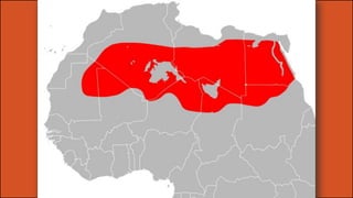
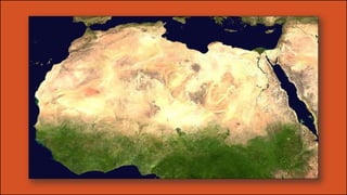
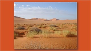
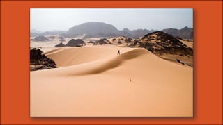


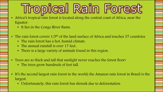
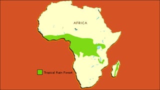
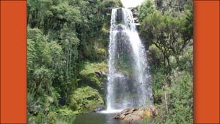


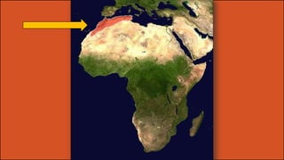
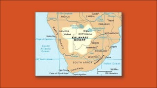

Africa is a vast continent with diverse terrain ranging from deserts to rainforests. The Sahara desert covers one third of the continent and divides it into North Africa and sub-Saharan Africa. South of the Sahara lies the Sahel, a semi-arid transition zone between the desert and the grasslands and forests further south. Major rivers like the Nile, Niger, and Congo flow through Africa and support agriculture, trade, and wildlife.


