Download as PDF, PPTX


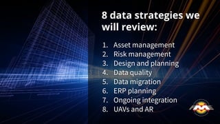
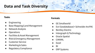
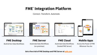
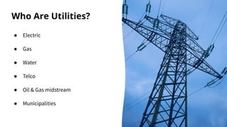
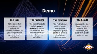
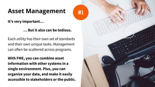


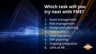


The document outlines eight strategies for utility networks to enhance data management and quality using the FME integration platform. These strategies include asset and risk management, data quality assurance, data migration, ERP planning, ongoing integration, and the use of UAVs and augmented reality. The webinar highlights real customer experiences, showcasing how FME has helped streamline operations and improve data handling across various utility applications.