Download to read offline

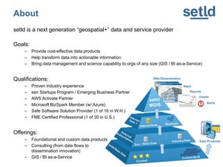
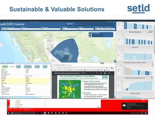
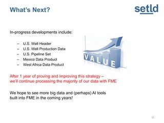

Setld is a next-generation geospatial data and service provider focused on creating cost-effective data products while transforming data into actionable insights through GIS and business intelligence services. They offer foundational and custom data products, consulting, and advocate for the use of FME for data integration, which supports over 400 formats and provides efficient workflows for diverse data challenges. Setld aims to enhance data management capabilities for organizations of all sizes and is developing several new data products while looking to integrate big data and AI tools in the future.