Download as PDF, PPTX


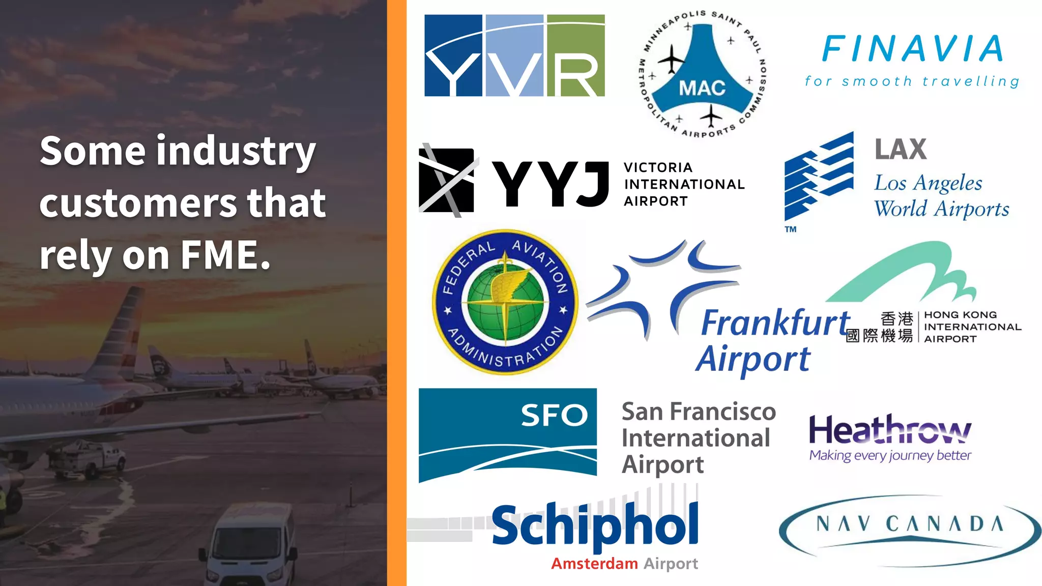


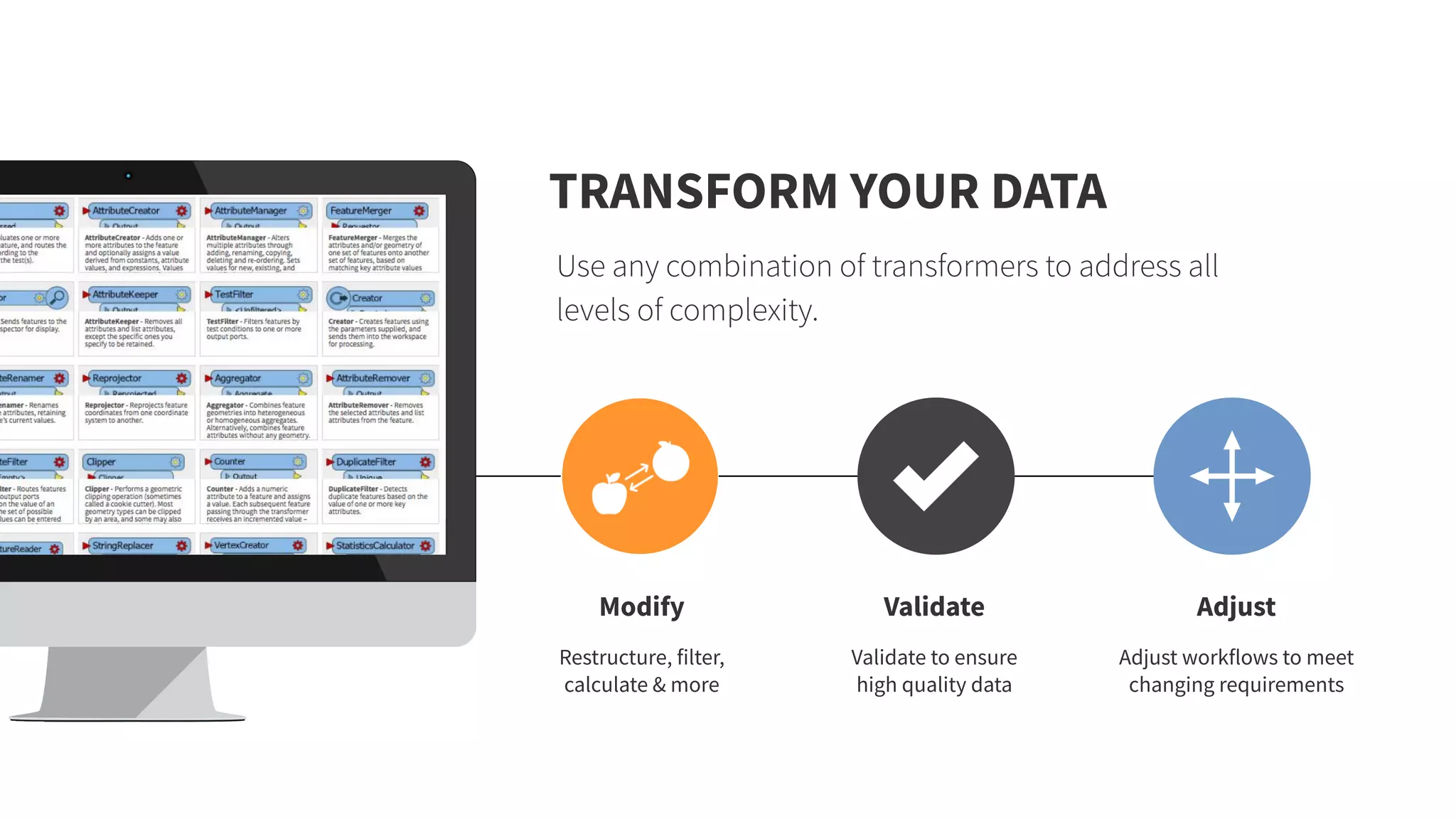


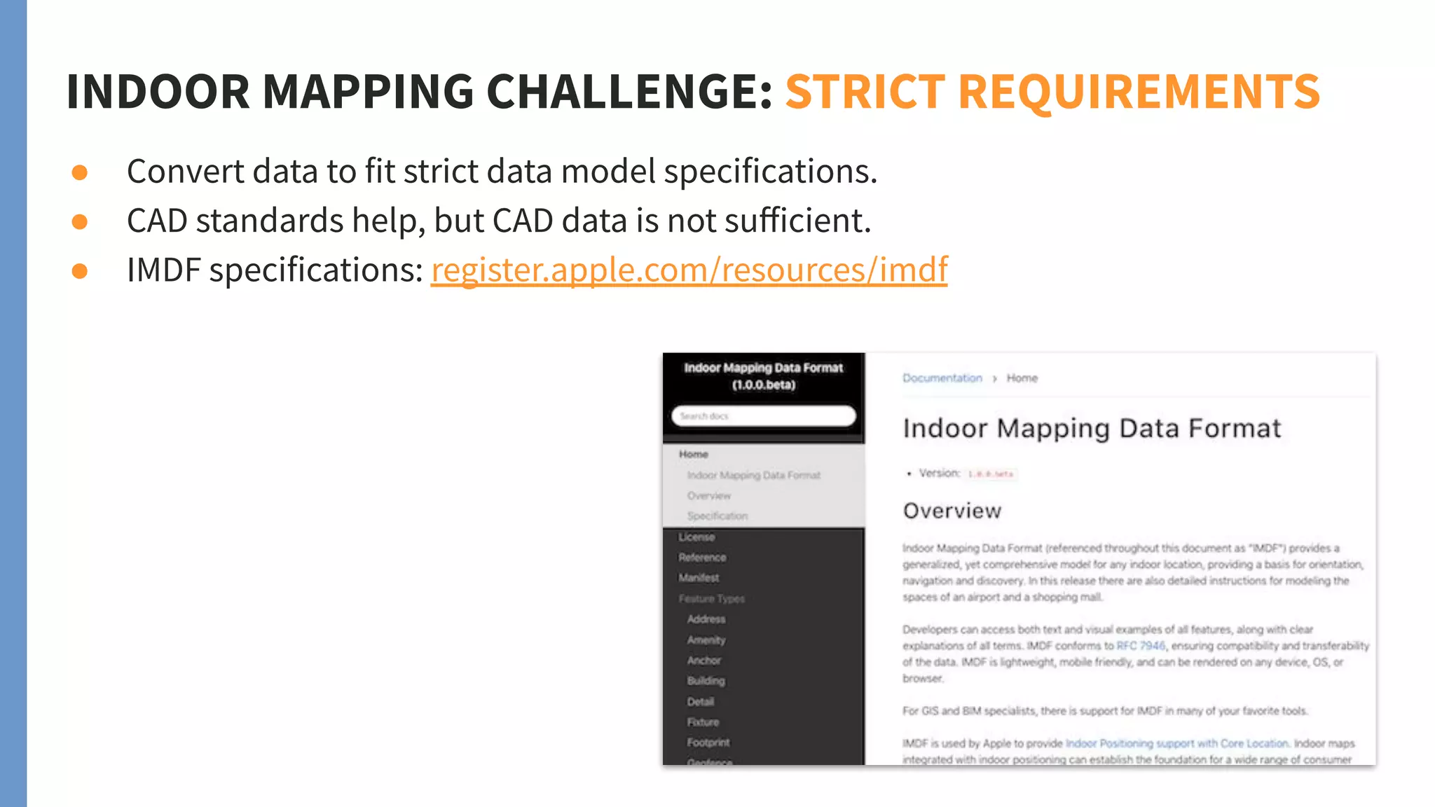

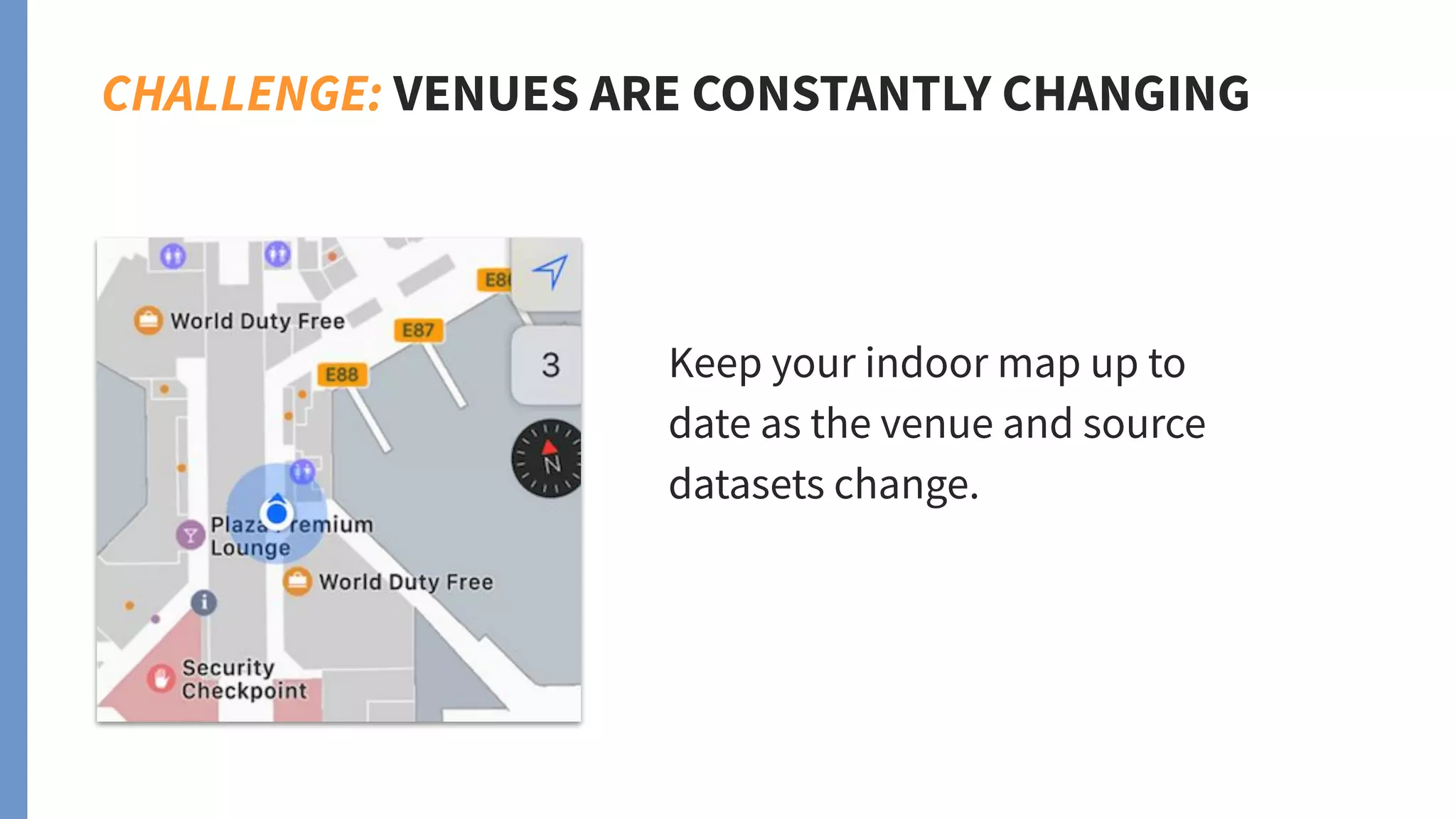


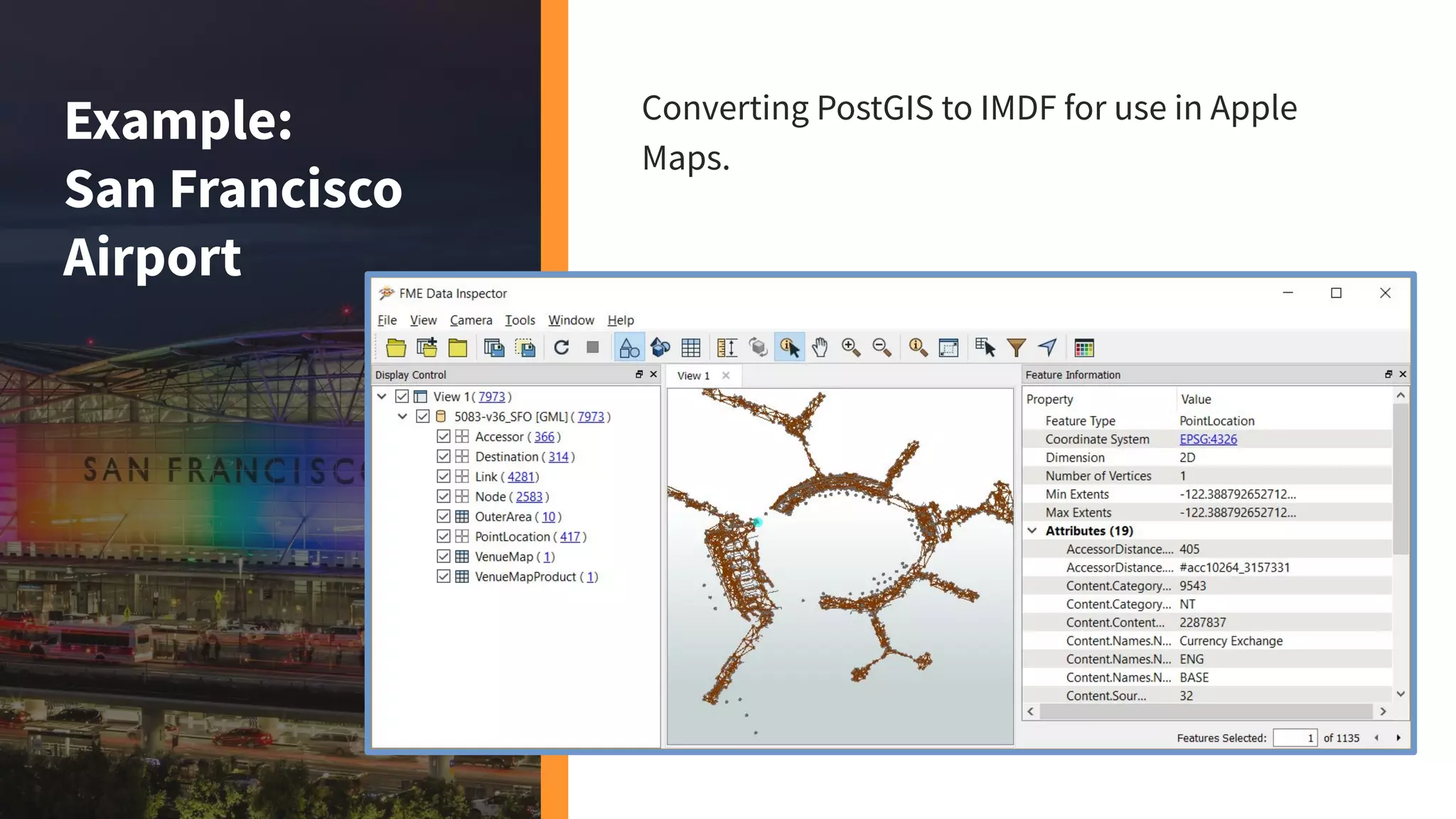

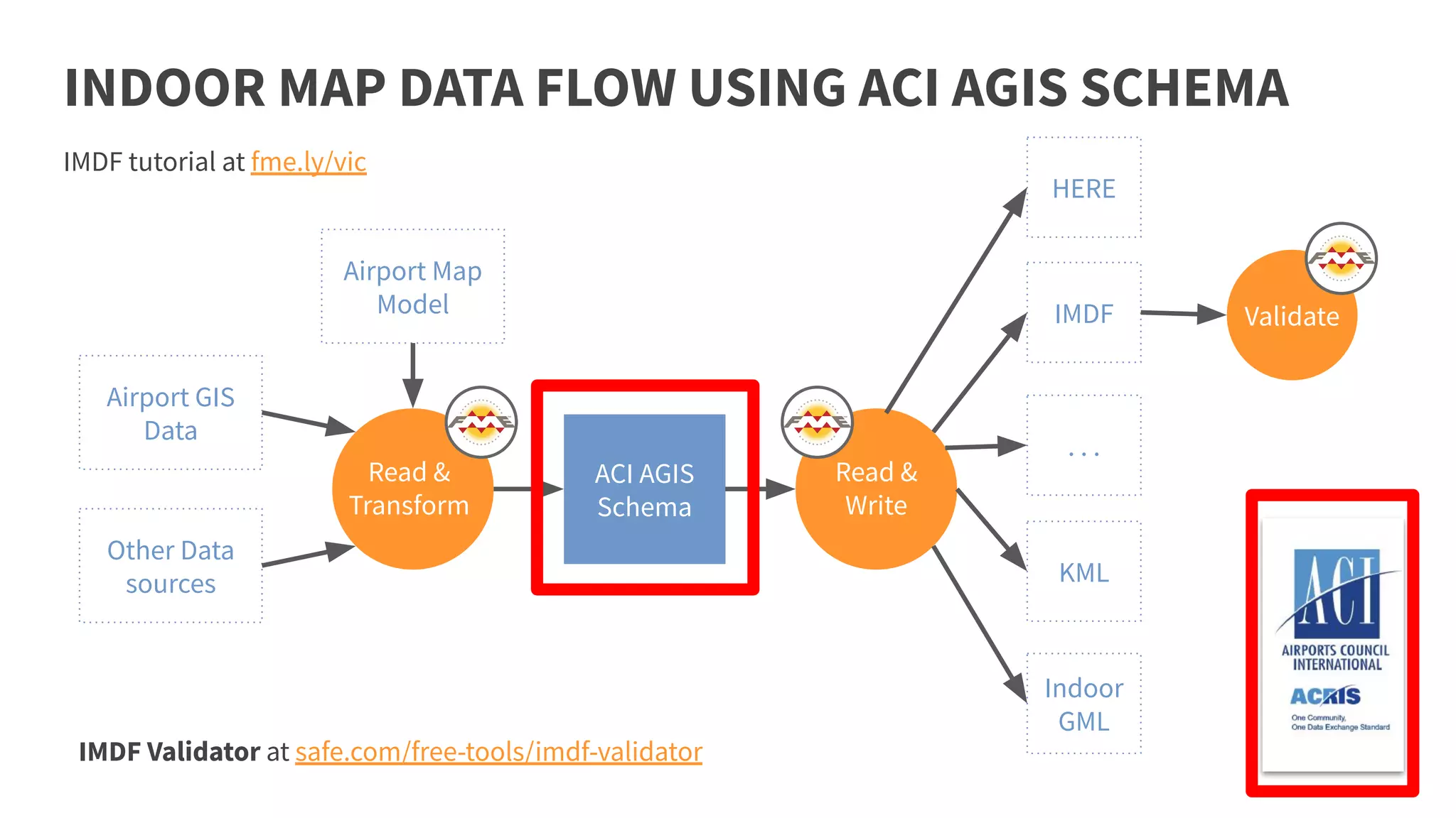


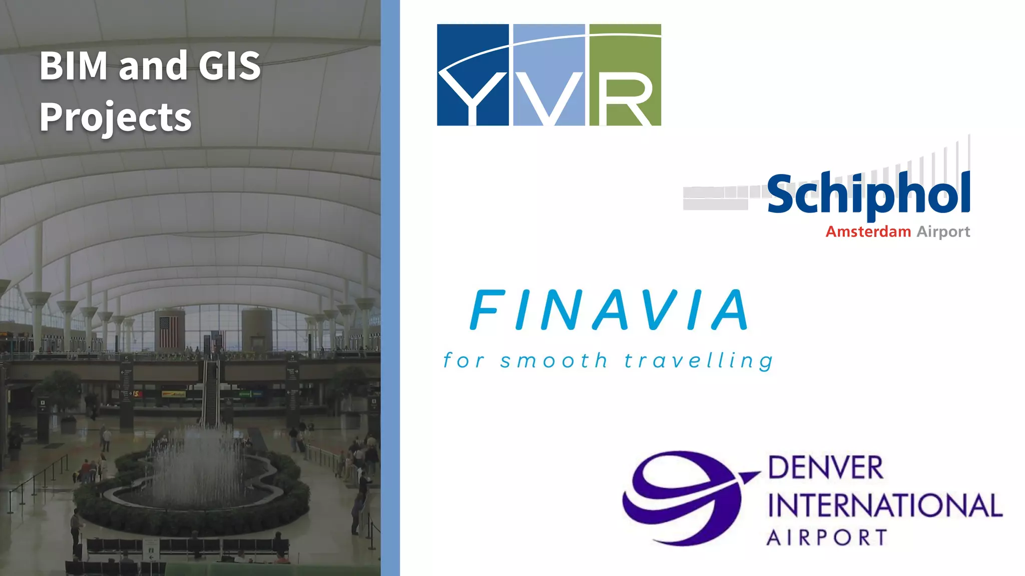

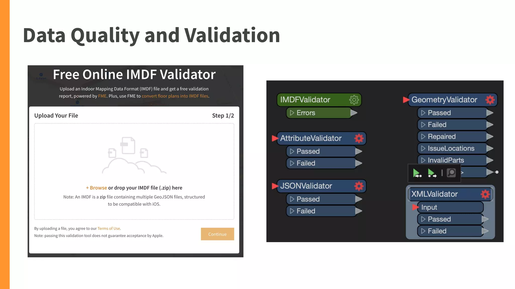


Safe Software's FME platform offers comprehensive data integration solutions specifically designed for the airport industry. It addresses challenges such as indoor mapping, data automation, and ensuring data quality while facilitating seamless workflows across various systems. Notable case studies include partnerships with Schiphol and Vancouver International airports to improve operational efficiency and enhance passenger experience using real-time data integration and visualization applications.