Download to read offline

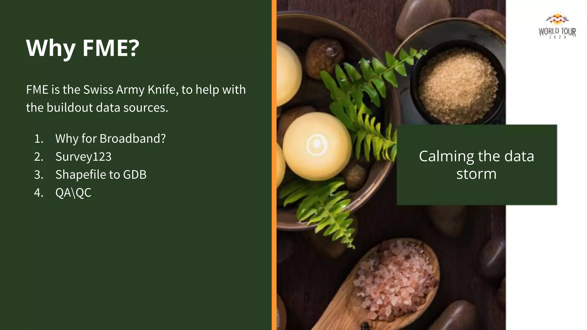
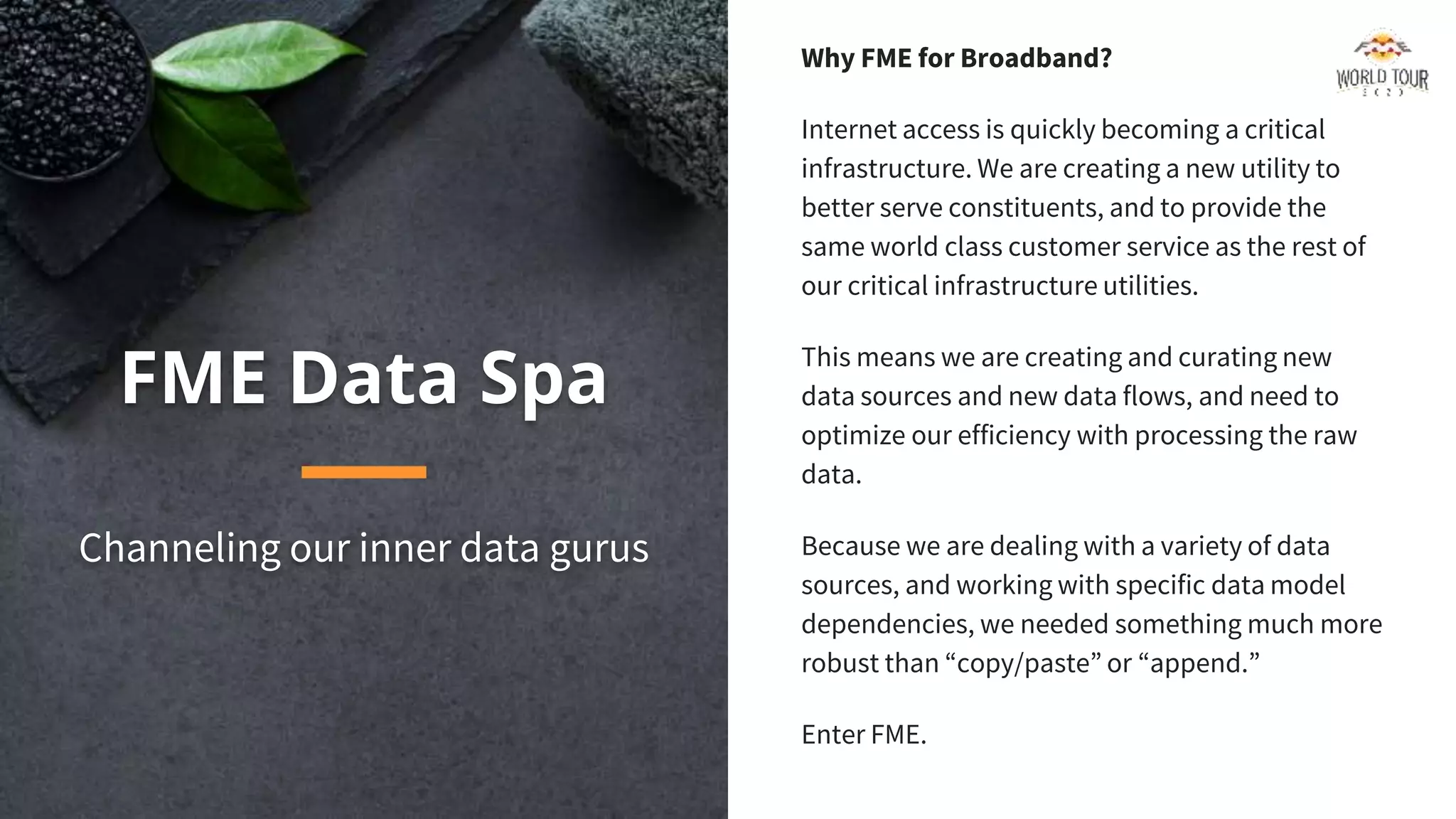
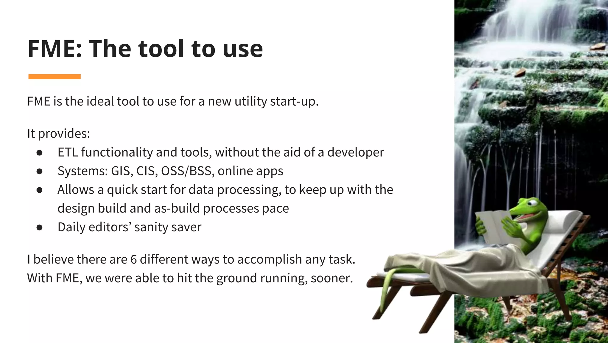


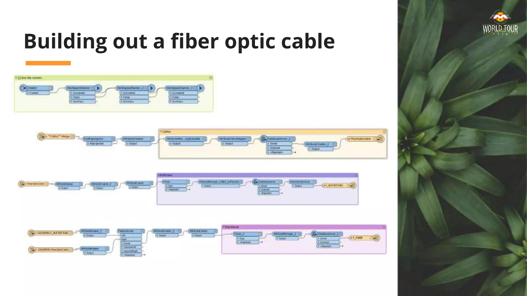
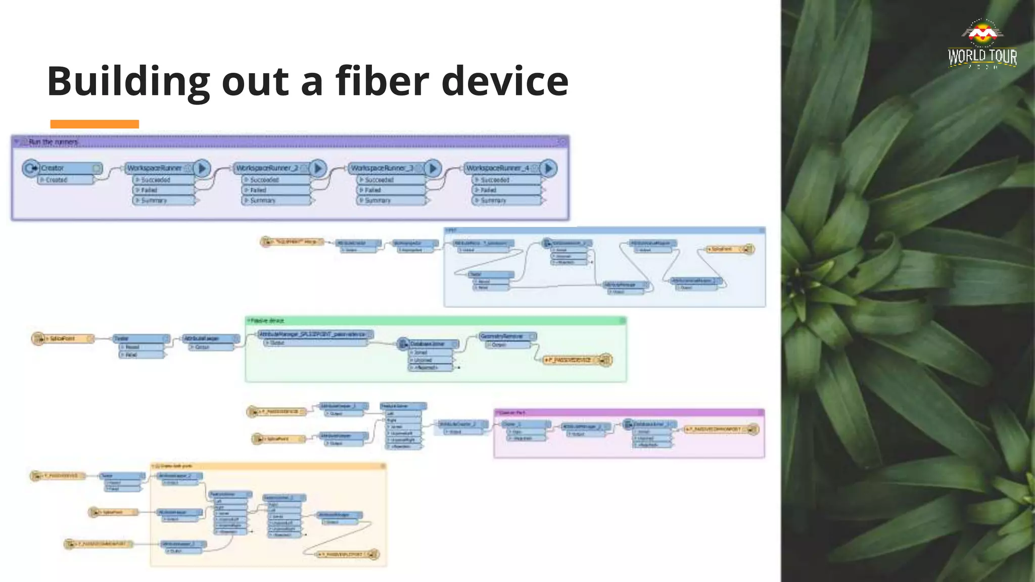
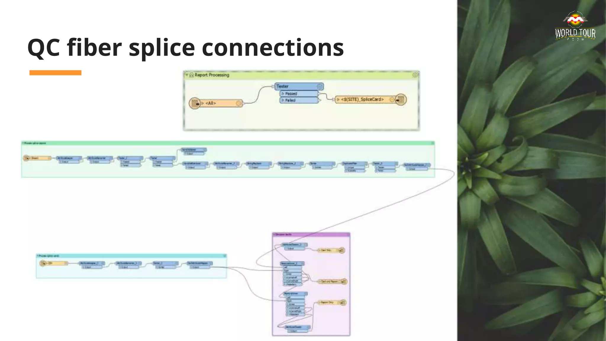


The document discusses the implementation of FME as a key tool for Loveland Pulse, a new community-owned broadband utility in Colorado, emphasizing its capabilities in data processing and workflow management. FME facilitates efficient data handling across various sources while supporting GIS functionalities for the utility's operational needs. It highlights the importance of optimizing data flows to enhance customer service and streamline processes in building out fiber optic infrastructure.


![Coded Agents – with UiPath SDK + LangGraph [Virtual Hands-on Workshop]](https://cdn.slidesharecdn.com/ss_thumbnails/codedagentsdeck-251215155422-5497c599-thumbnail.jpg?width=640&height=640&fit=bounds)


