Download as PDF, PPTX

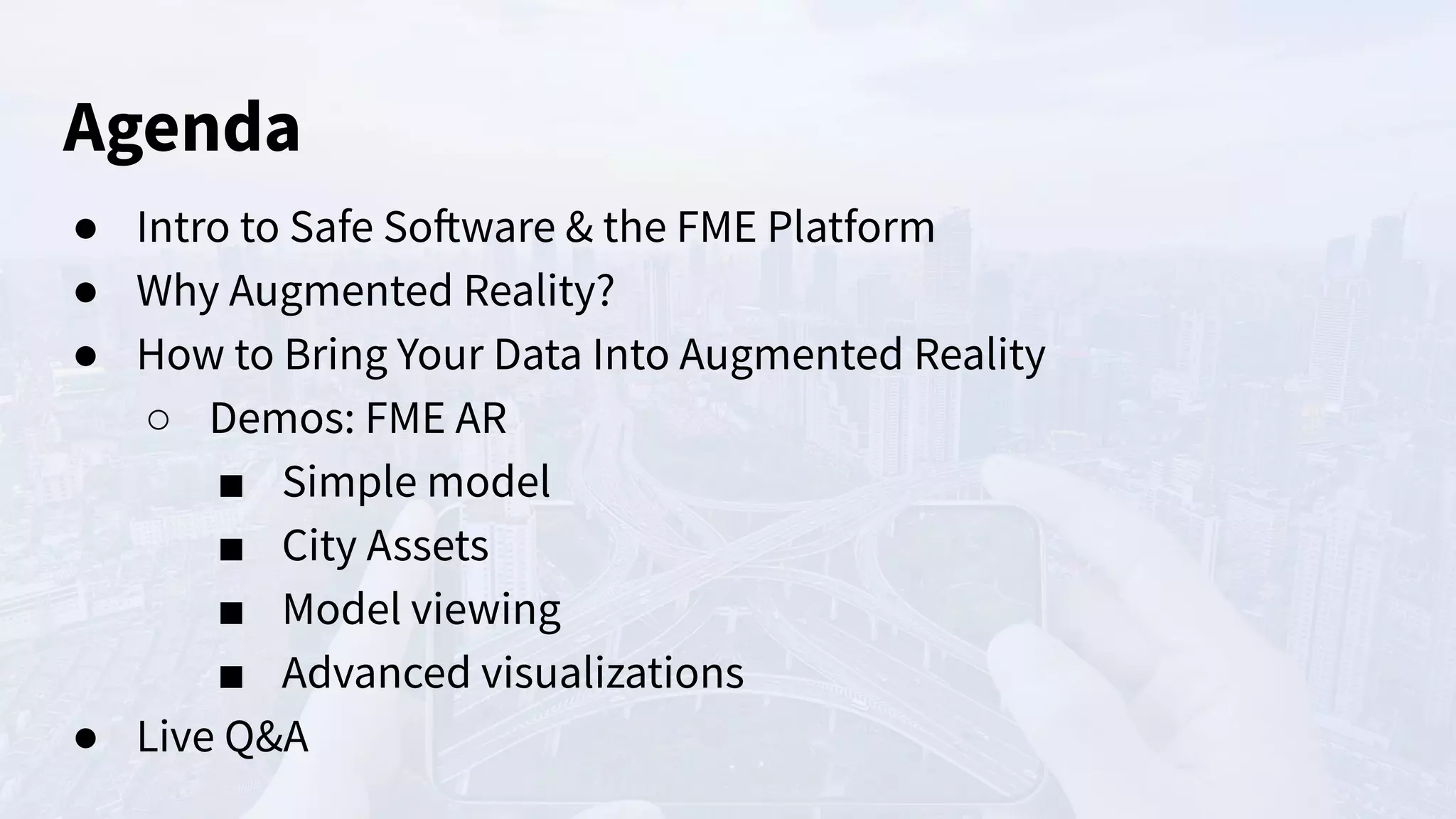
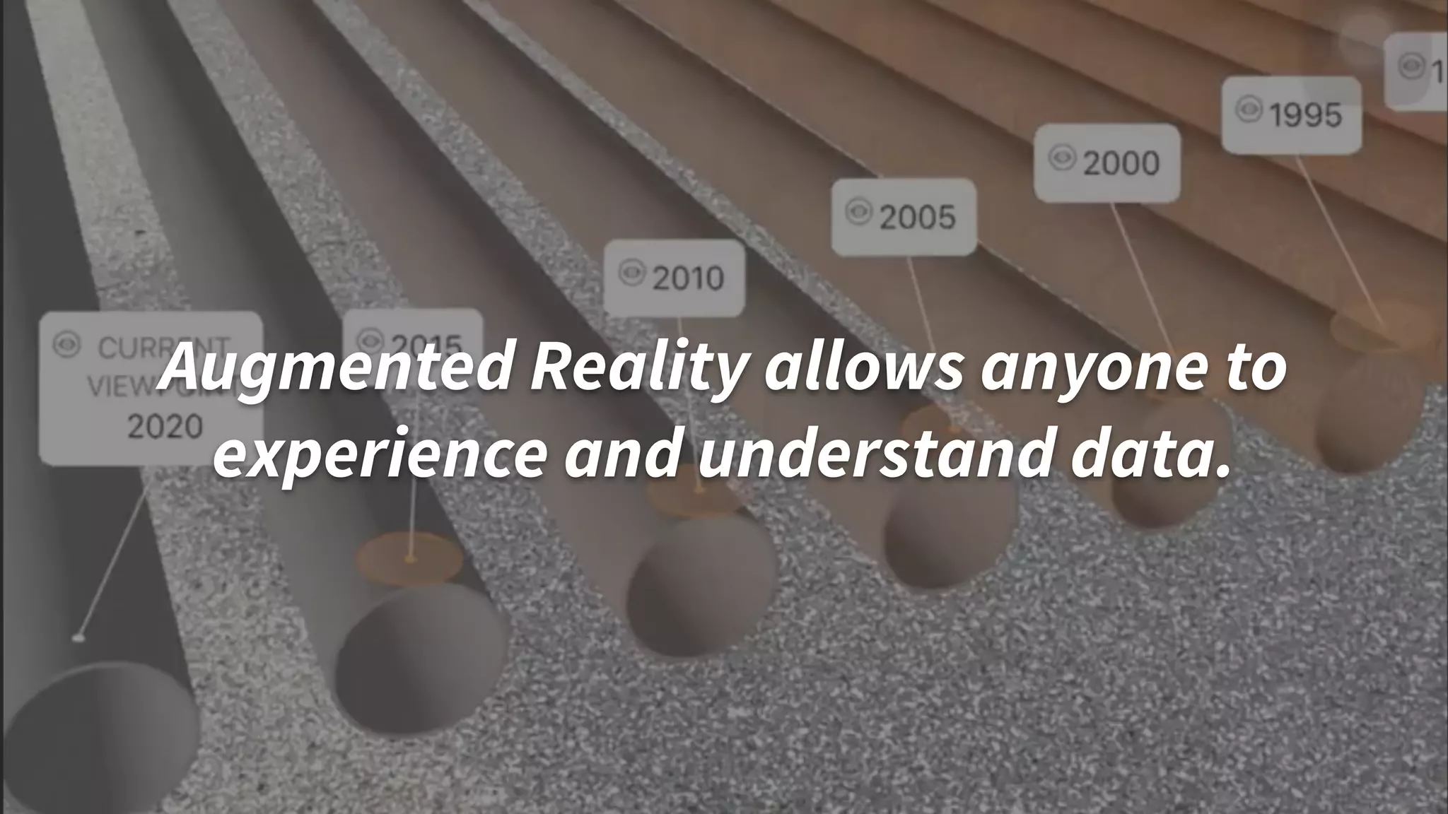
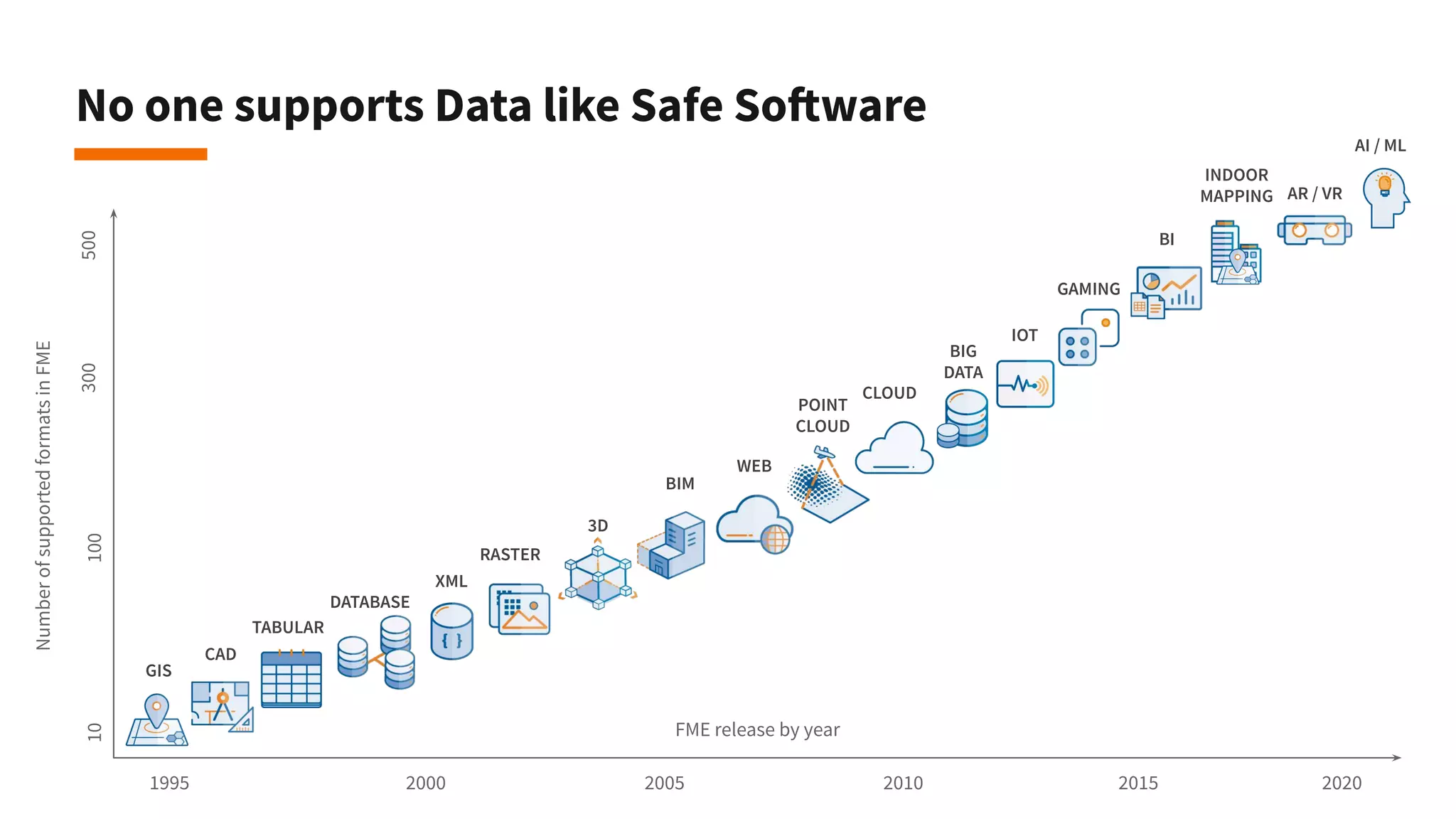
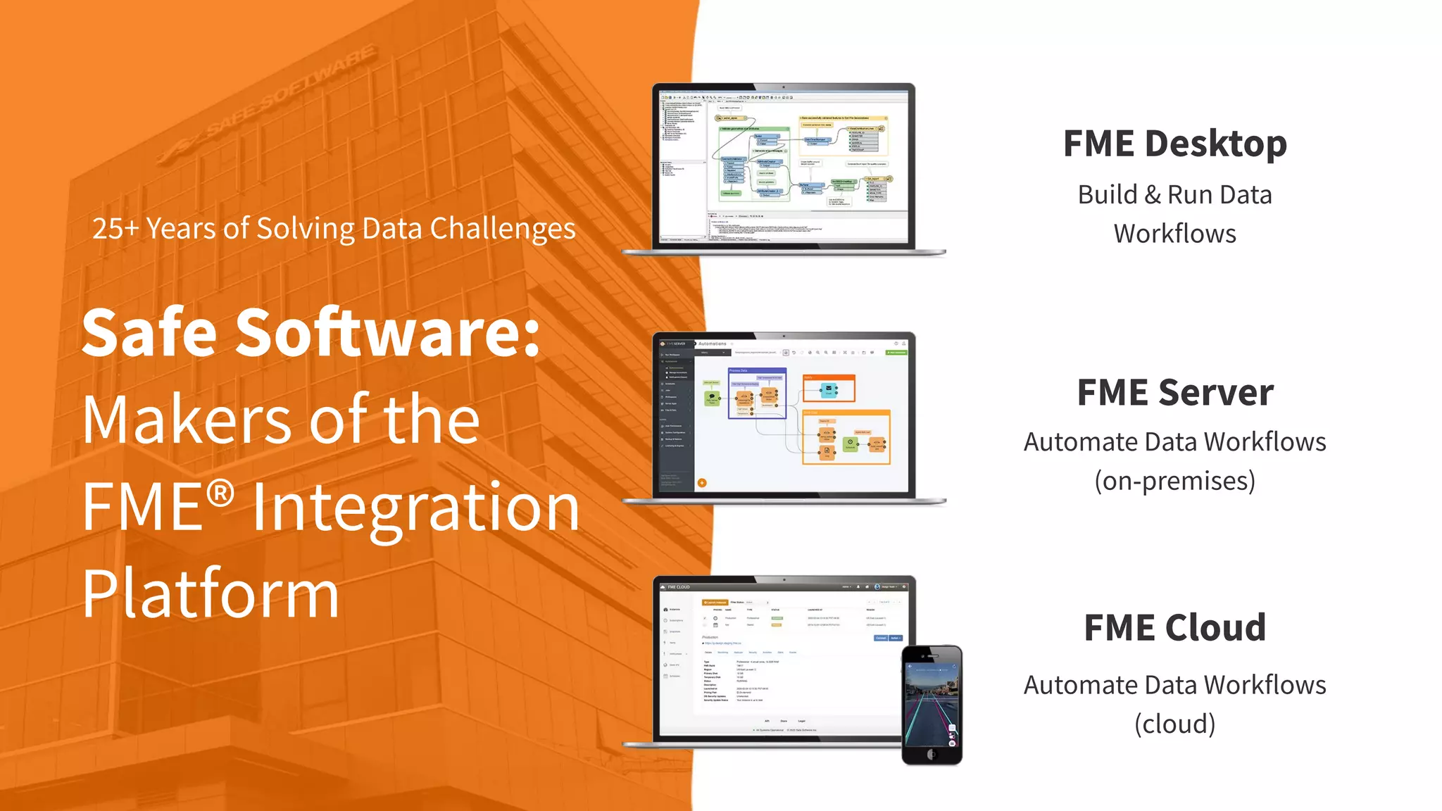
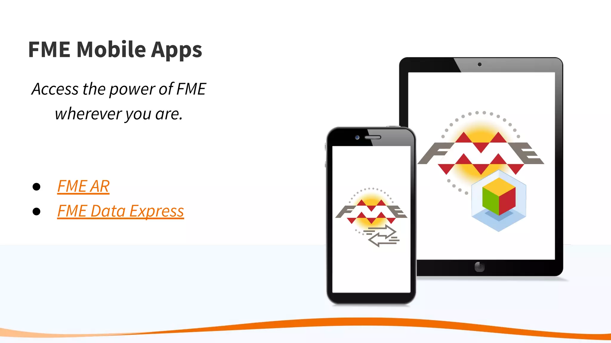
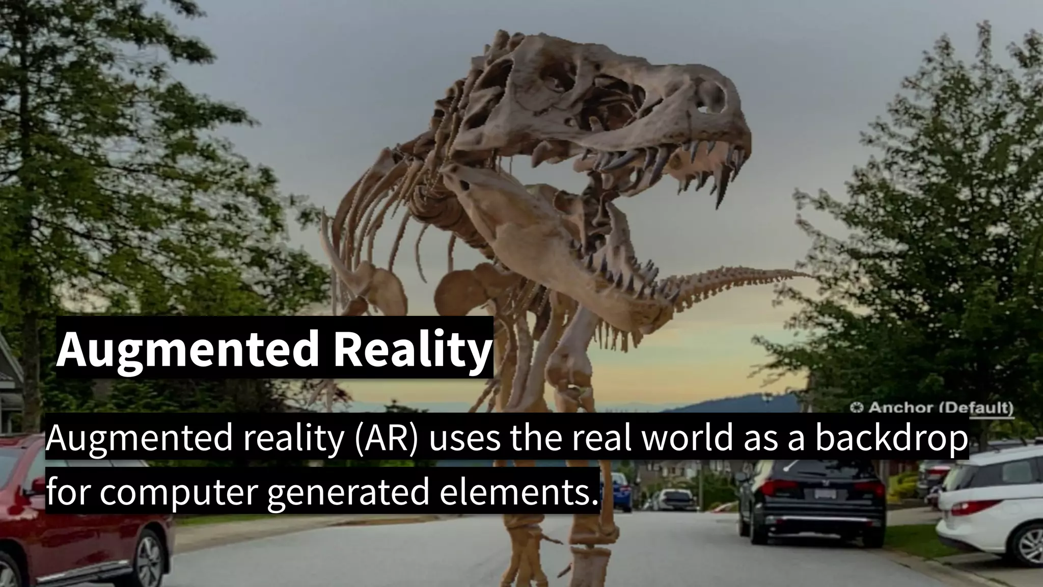
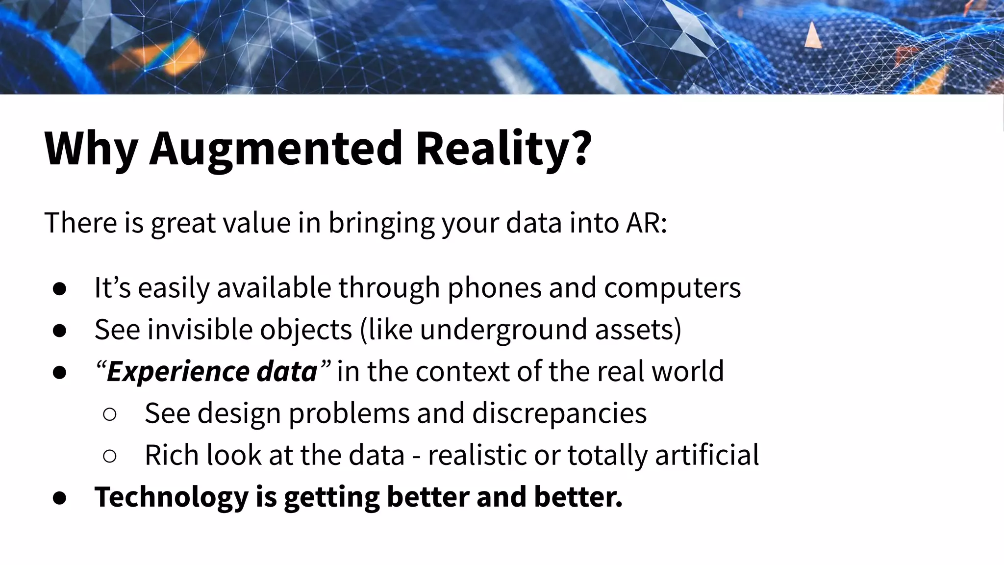
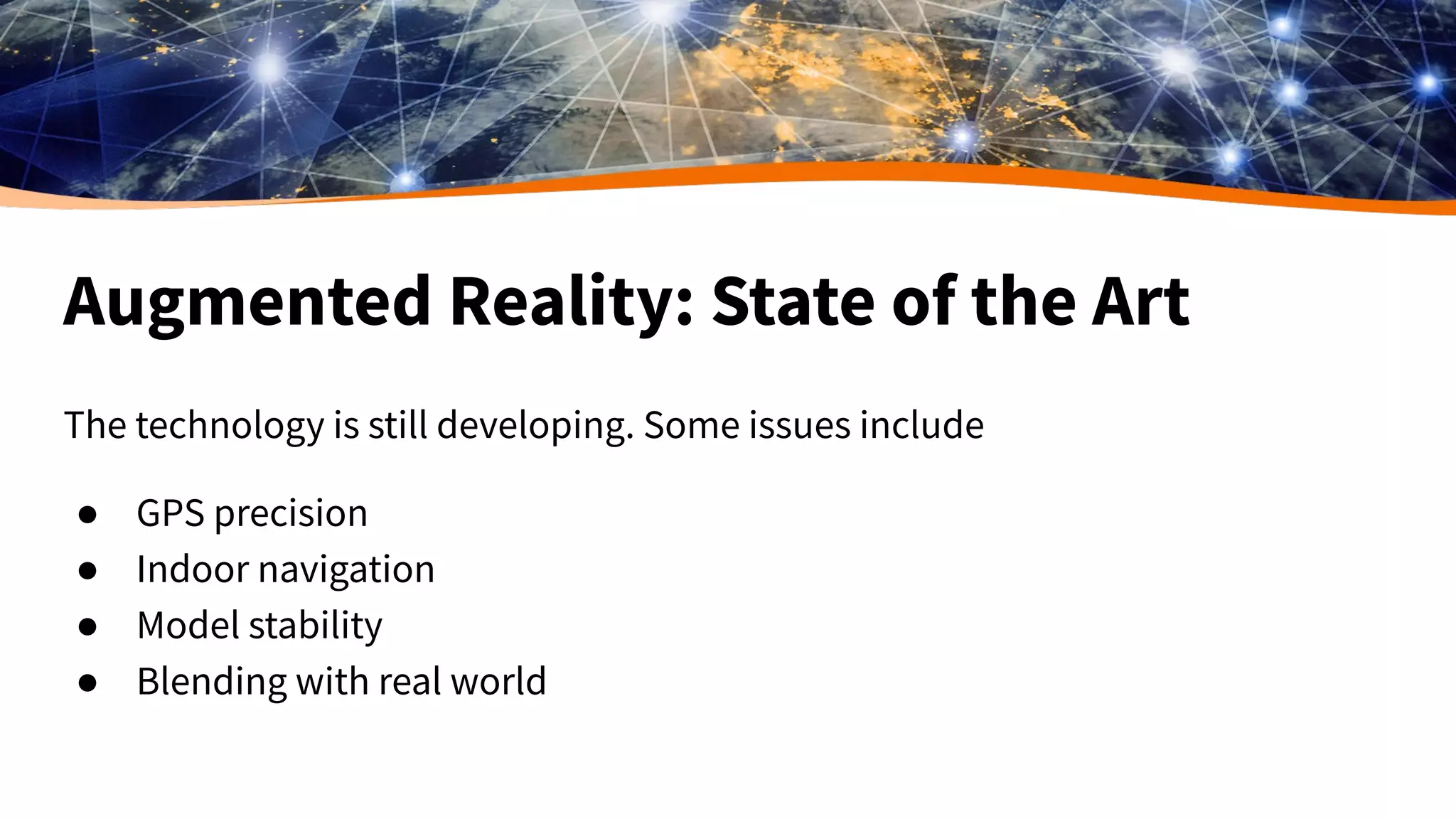
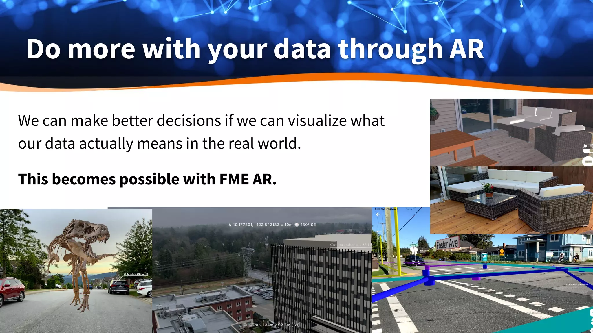
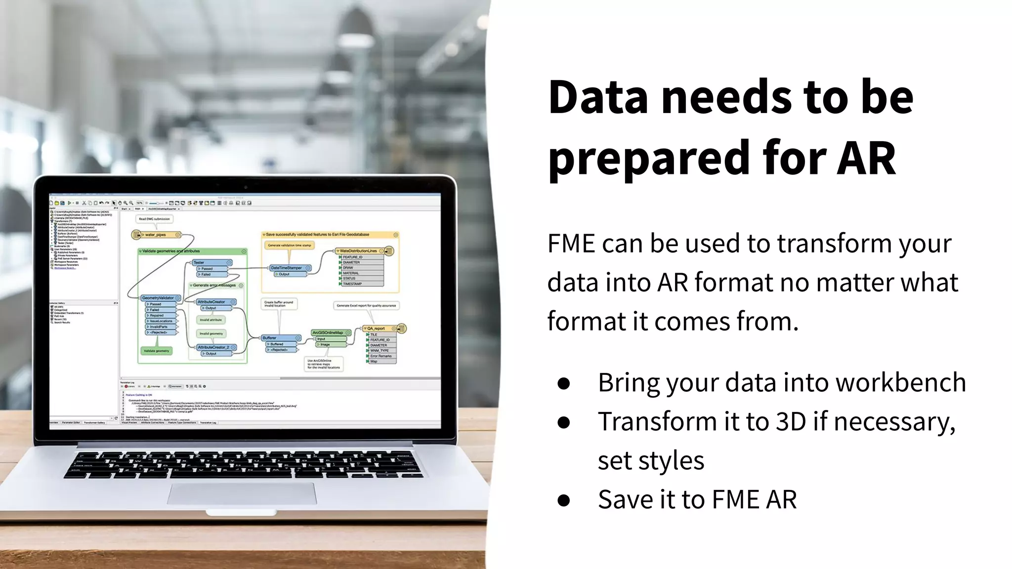
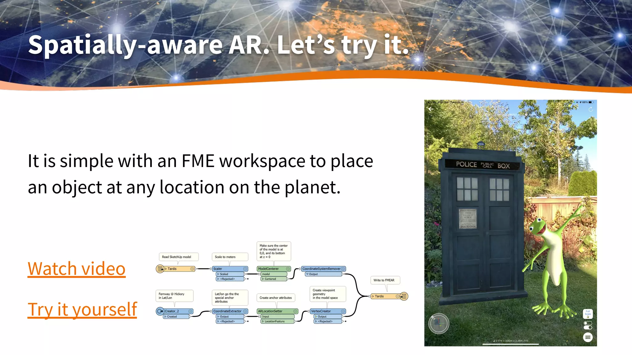
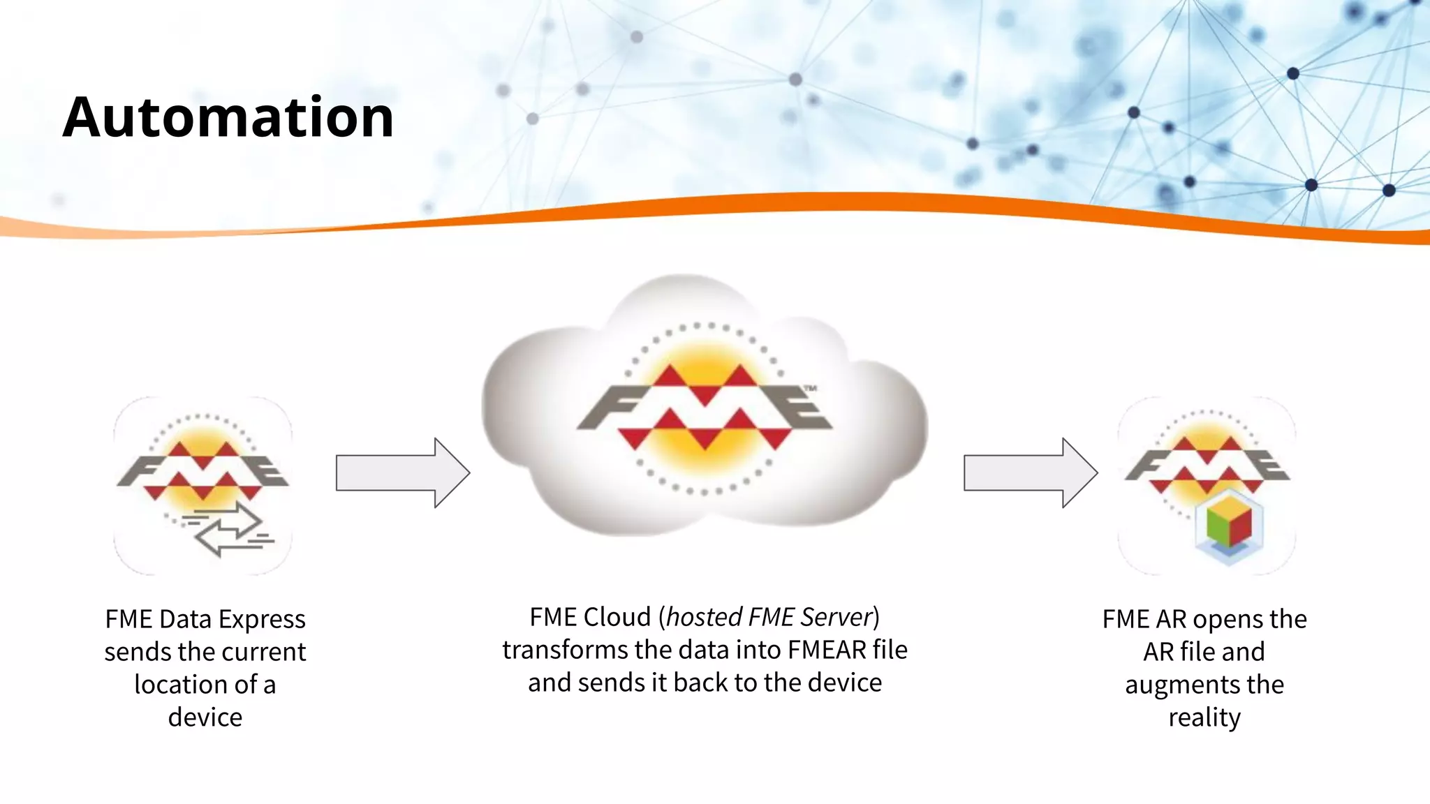
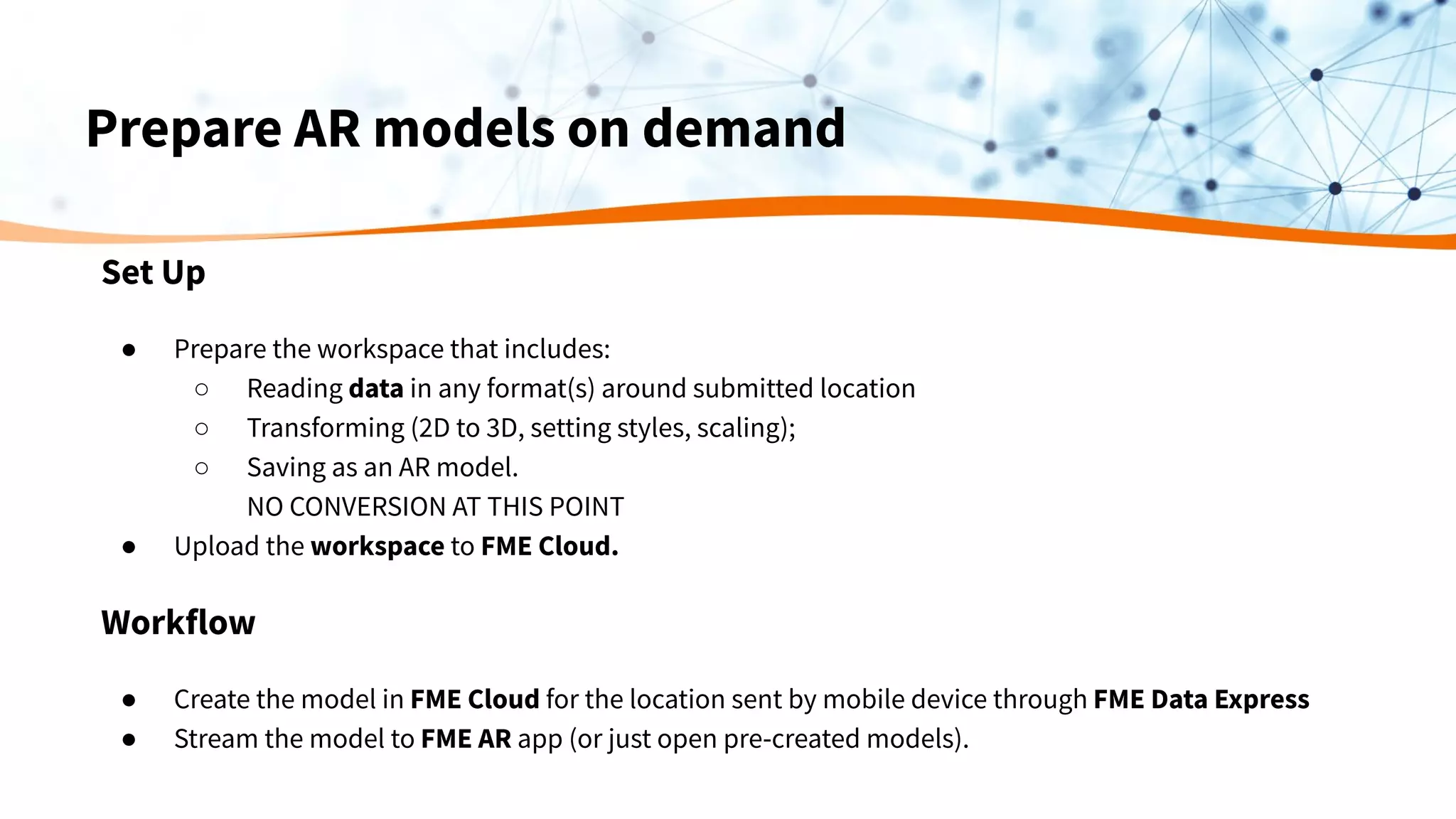
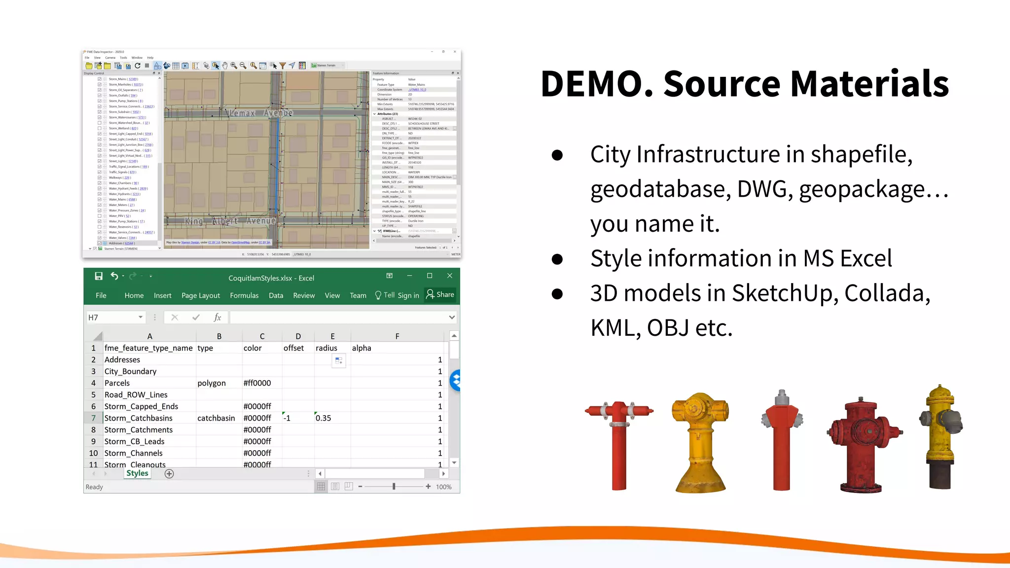
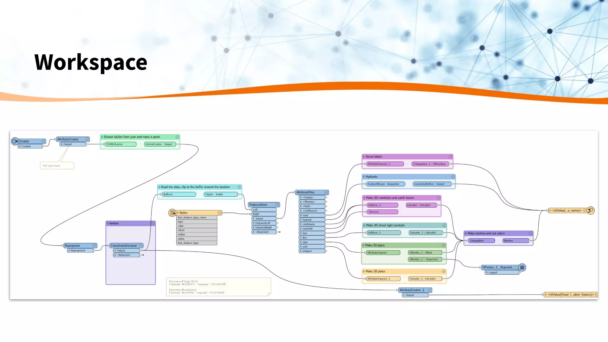
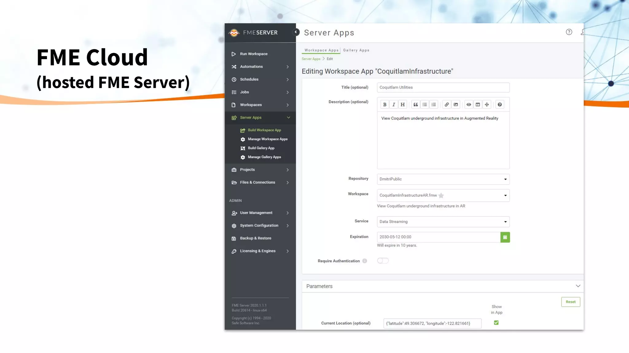
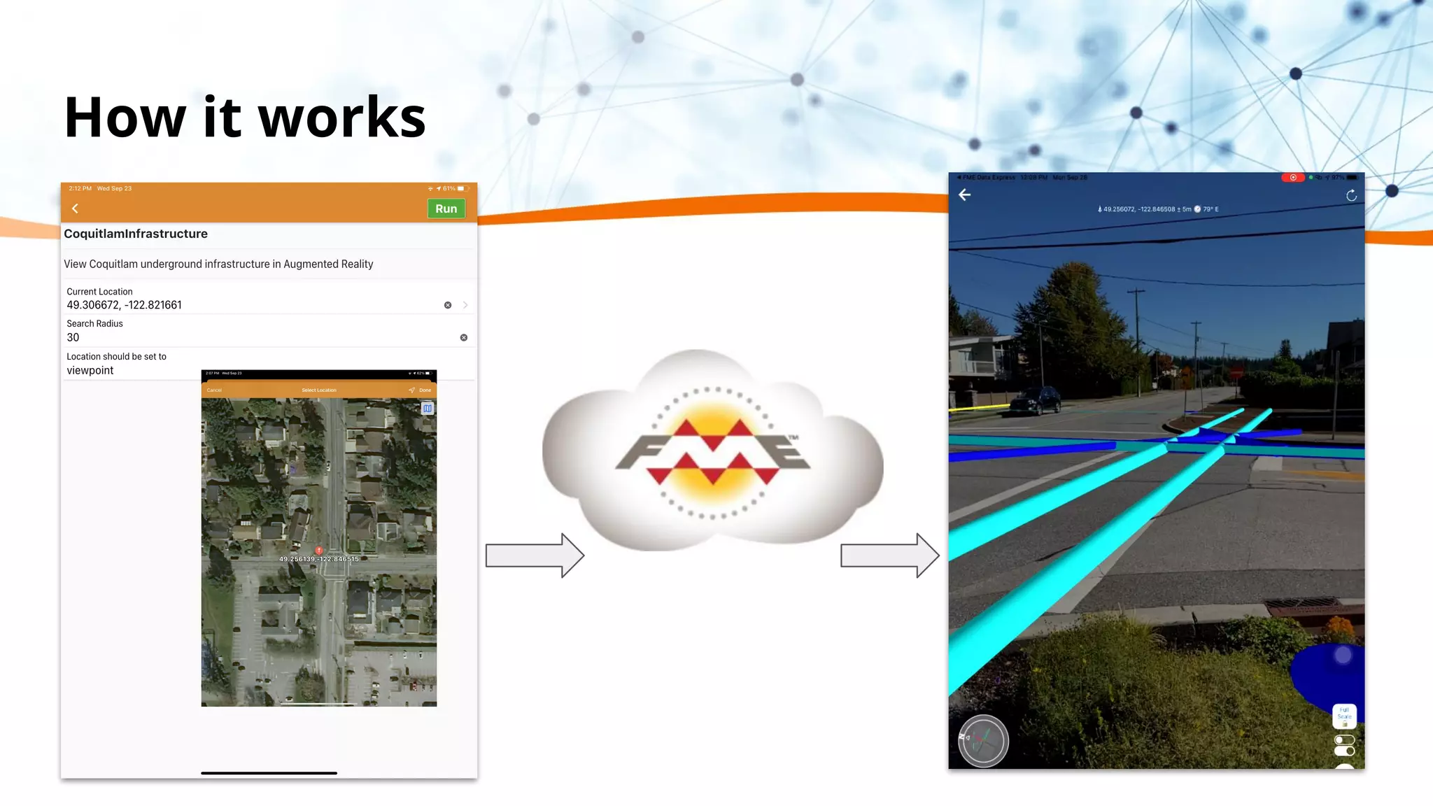
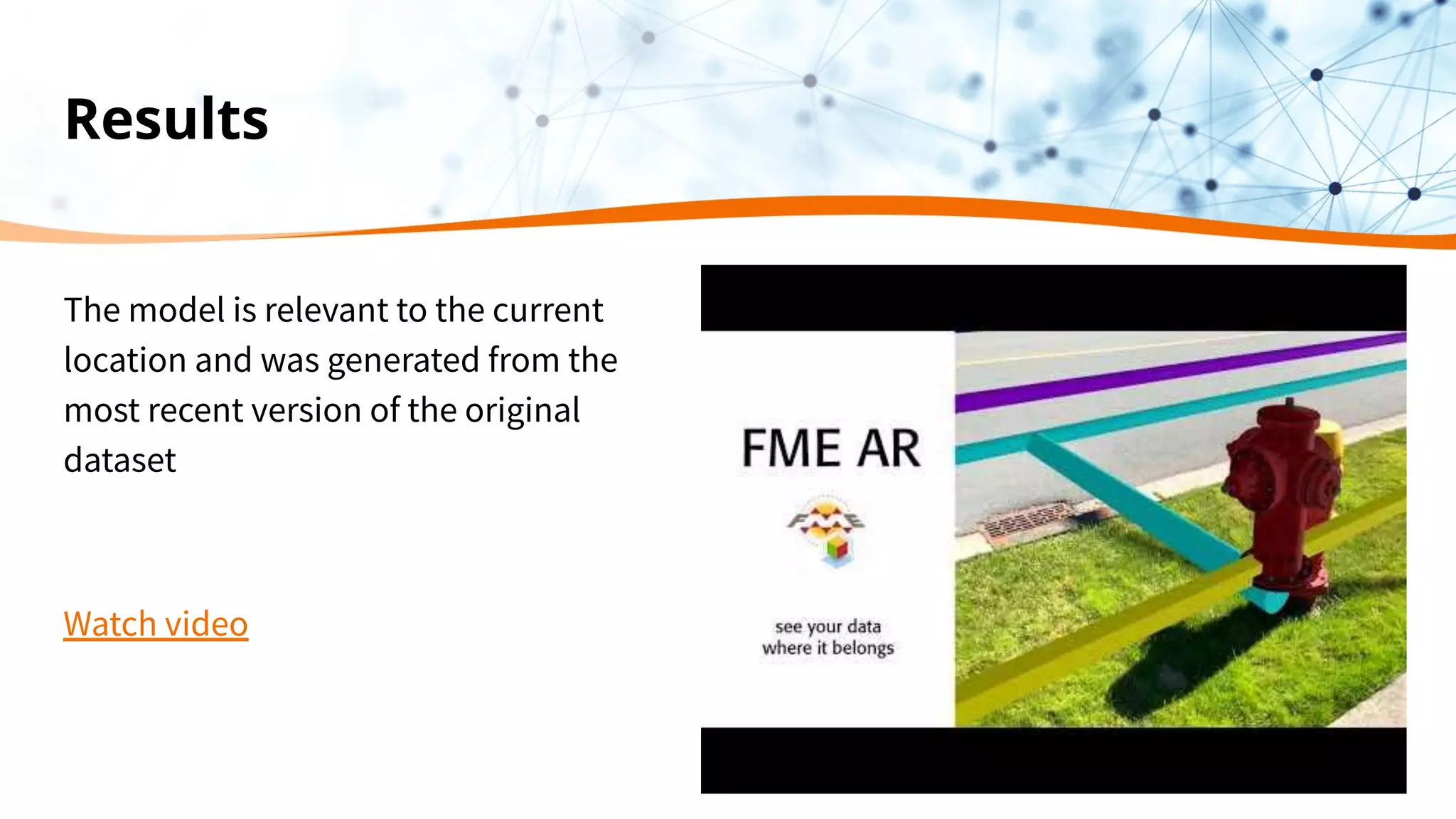
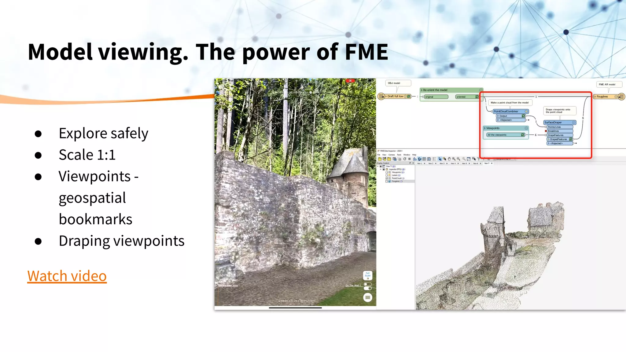
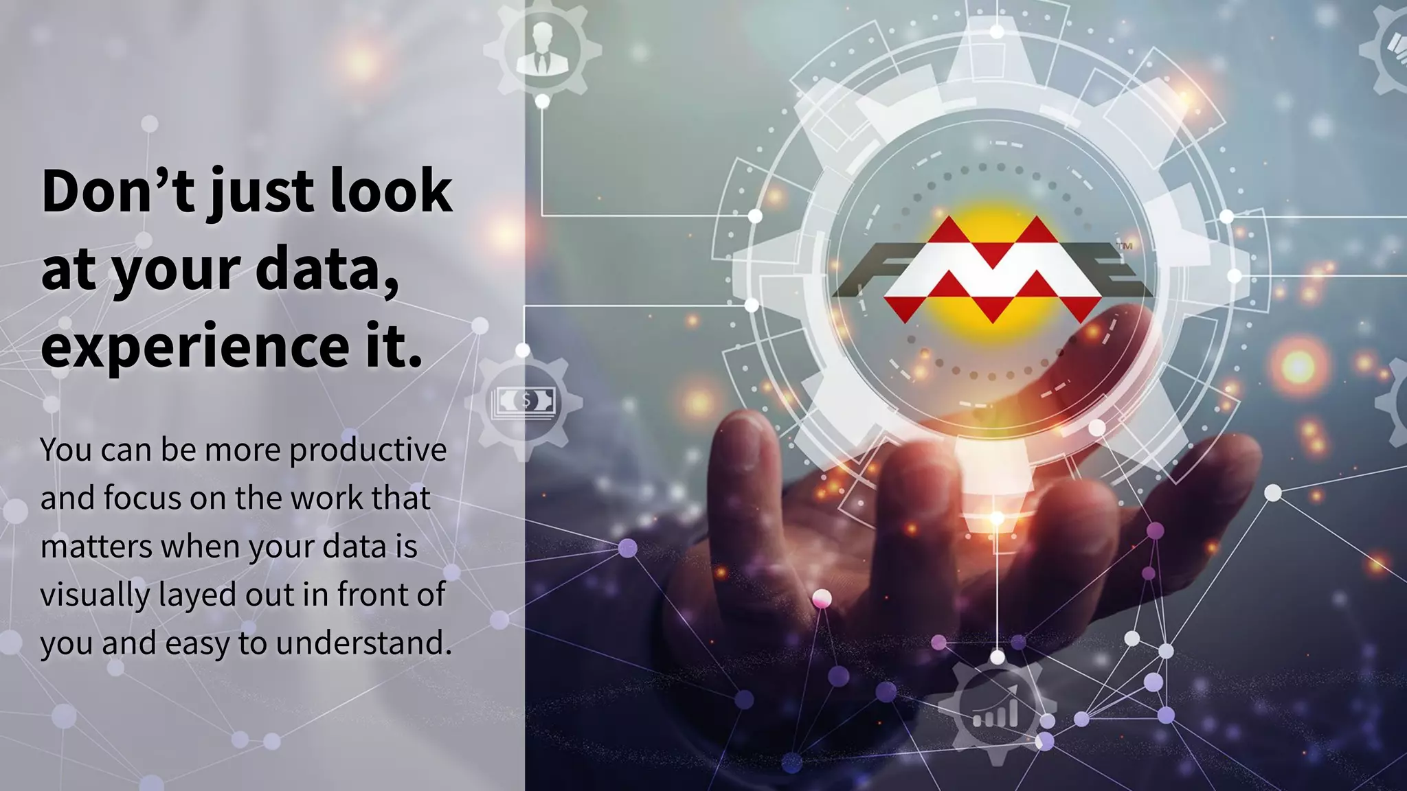

The document discusses the integration of augmented reality (AR) with data through Safe Software's FME platform, highlighting its value in visualizing and analyzing data within real-world contexts. It explains how to prepare and transform data for AR using FME and FME Data Express, allowing users to experience location-based, up-to-date models. The presentation also emphasizes the continuous advancements in AR technology and its applications in various scenarios, ultimately aiming to enhance decision-making through better data visualization.