Download to read offline
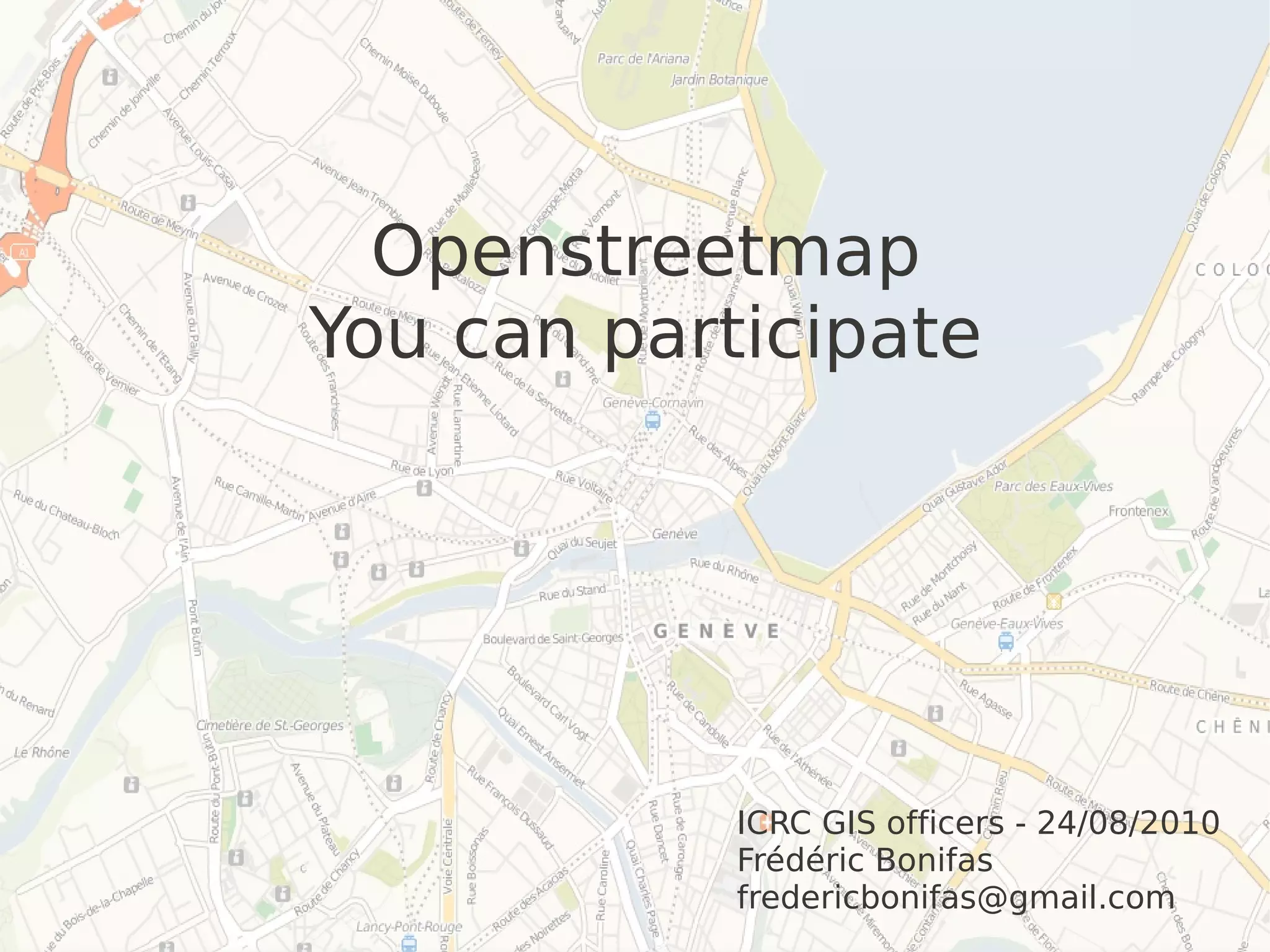


Openstreetmap is a collaborative project to create a free editable map of the world. Participants can contribute data from aerial imagery, field work, or other sources under open licenses. Volunteers are waiting to trace roads, buildings and other features from aerial photos to quickly create vector maps. Field data on land use, names, and points of interest are also needed. Any data shared must be in an open format like shapefile and avoid copyrighted sources. People with local knowledge or access to data are encouraged to request imagery from partners or contribute what they collect to improve Openstreetmap maps.


![Humanitarian OpenStreetMap Team [H.O.T.] Training for SBTF](https://cdn.slidesharecdn.com/ss_thumbnails/osmhotsbtf-130318160307-phpapp01-thumbnail.jpg?width=640&height=640&fit=bounds)