Download to read offline
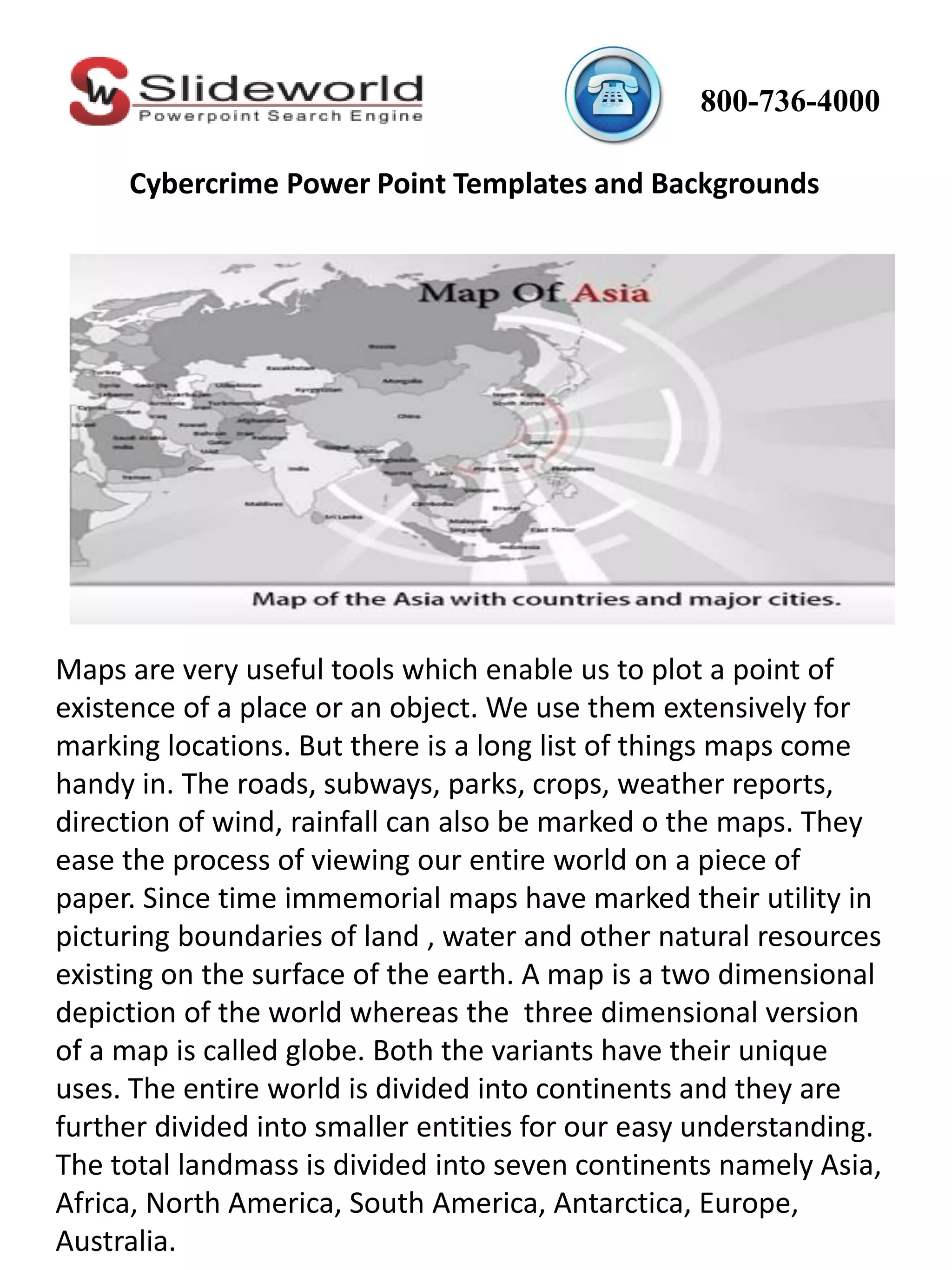


Maps are useful tools for plotting locations of places and objects. They can mark roads, subways, parks, crops, weather reports, wind direction, and rainfall. Maps ease the process of viewing the entire world on paper. Since ancient times, maps have been useful for depicting boundaries of land, water, and other natural resources on Earth. Asia map powerpoint provides a view of the most populous continent, Asia, which comprises 30% of the world's land area and 60% of the human population. It illustrates geographical, topographical, climatic, and historical details about Asia in an effective way. The map includes details that can be useful for disaster management and understanding racial diversity.


![[Keynote IBM] Frederic Lavigne - From old to new IBM, leading to cognitive era](https://cdn.slidesharecdn.com/ss_thumbnails/codemotionmilano-ibmkeynote-151124171112-lva1-app6891-thumbnail.jpg?width=640&height=640&fit=bounds)


