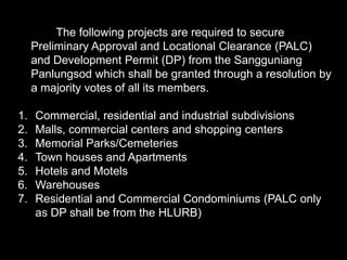
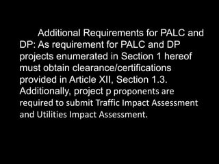
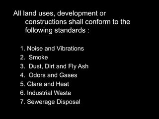
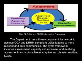
Download as PDF, PPTX
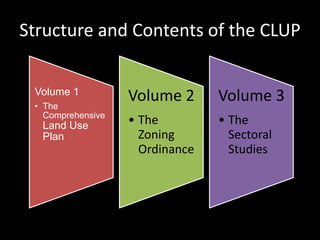
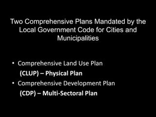

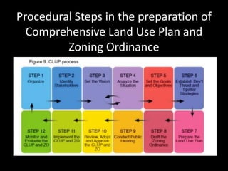
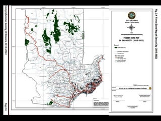
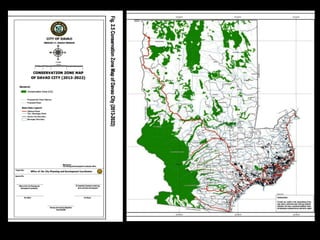
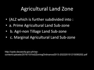
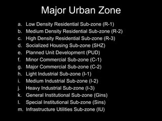
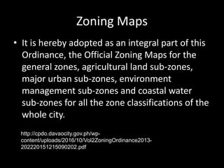
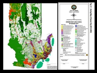
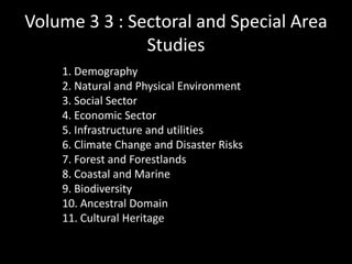


The document discusses the comprehensive land use planning process mandated for all local government units in the Philippines. It outlines the structure and contents of a comprehensive land use plan (CLUP), which consists of 3 volumes. Volume 1 includes the land use plan and policies. Volume 2 is the zoning ordinance which divides the area into zones and subzones. Volume 3 contains sectoral studies on topics like demography and the environment. The CLUP guides decisions on land development and use over a long-term period, usually 10-20 years. The zoning ordinance is enacted to implement the land use plan.