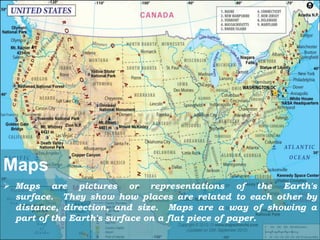
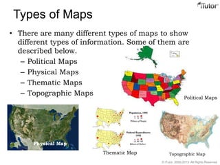
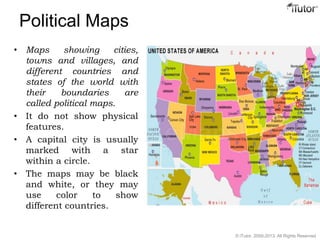
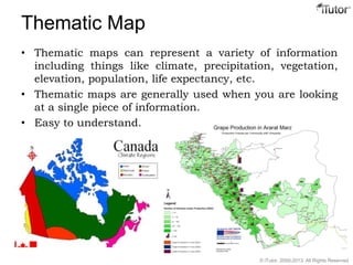
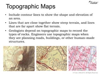
There are several types of maps that show different kinds of information. Political maps depict boundaries between countries and states. Physical maps show natural features like mountains, rivers, and oceans without man-made additions. Thematic maps represent single variables like climate, population, or elevation through different colors or symbols. Topographic maps use contour lines to illustrate the shape and elevation of landforms.