Downloaded 99 times
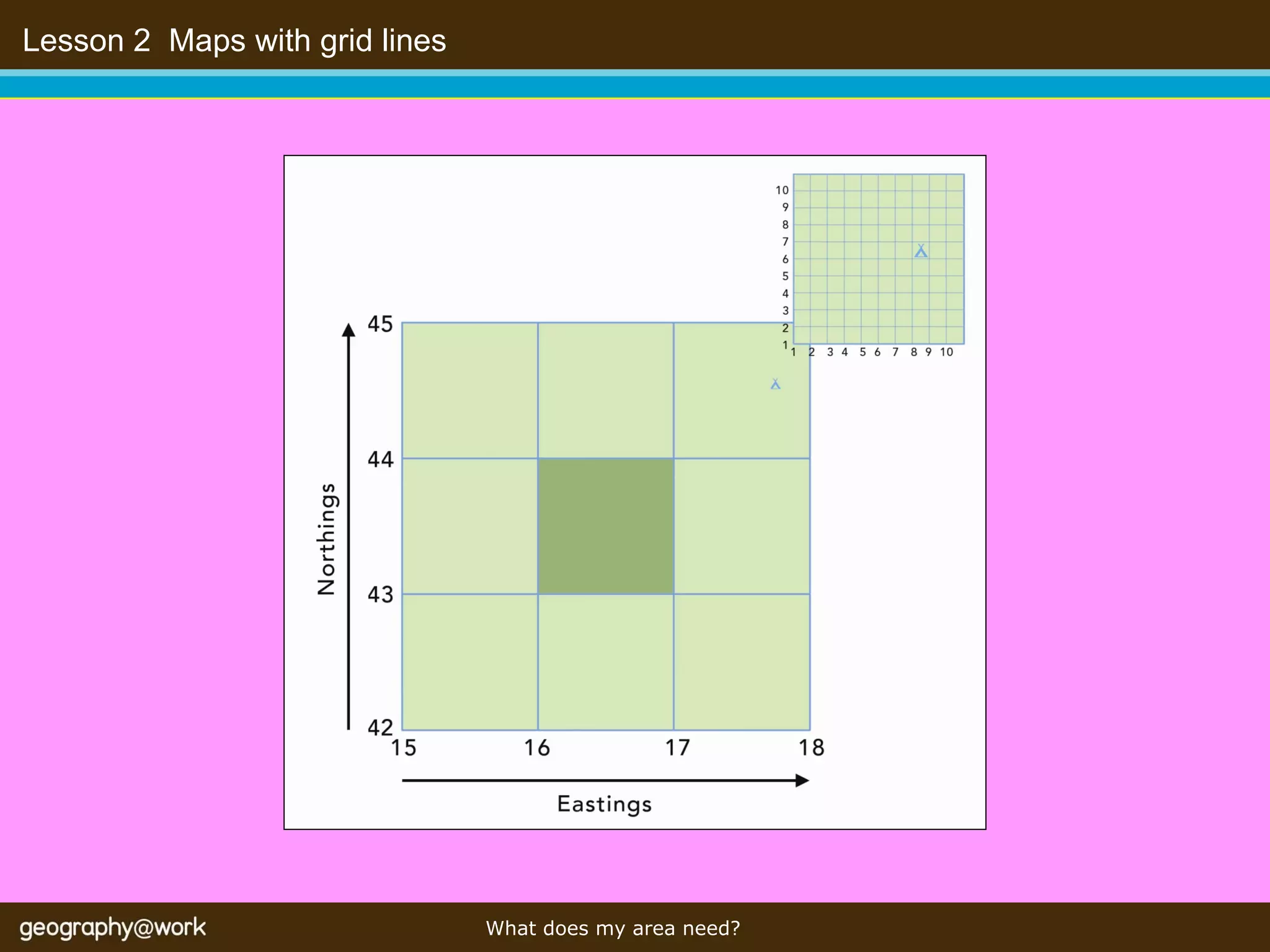
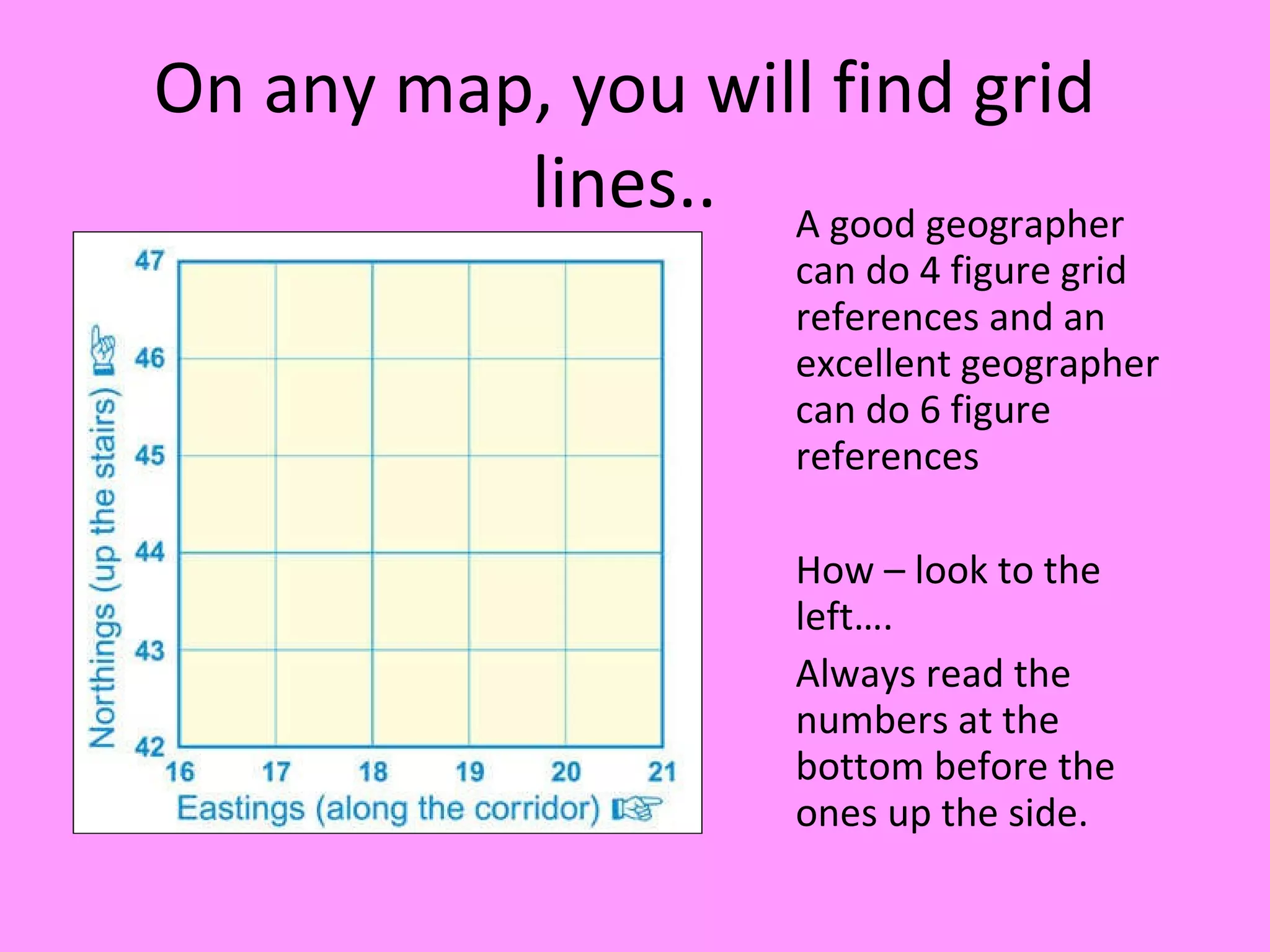

This document discusses using grid references on maps. It explains that 4 and 6 figure grid references allow geographers to accurately identify and locate places on maps. The document also mentions that grid lines divide maps into a grid system and that the numbers along the bottom are read before the numbers along the side when doing grid references. Students are instructed to complete worksheets and activities practicing grid references.


