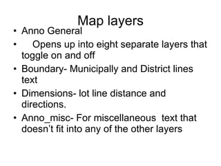
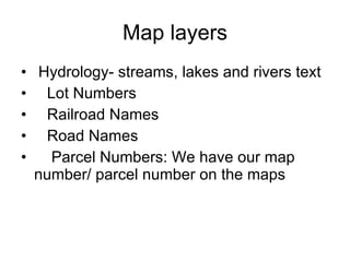
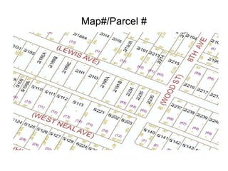
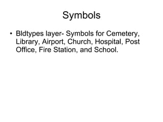
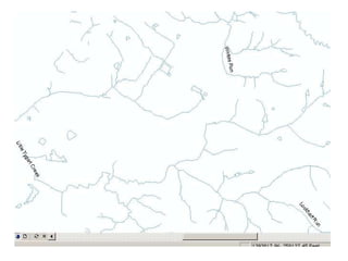
Download to read offline

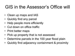
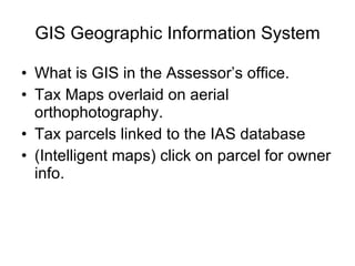
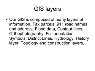
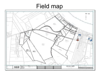

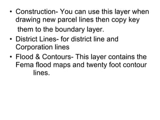
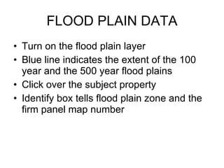
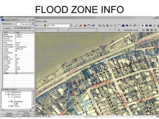
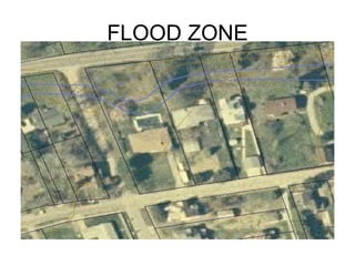
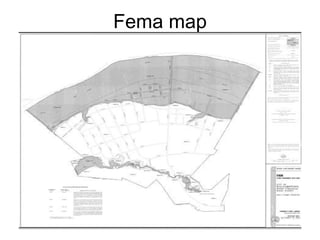
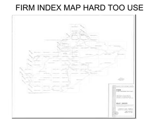

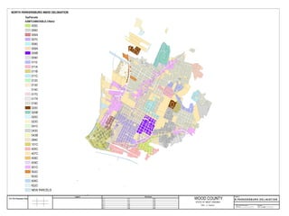
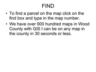
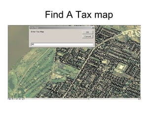
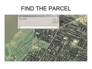
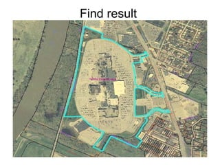
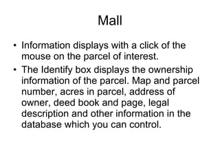
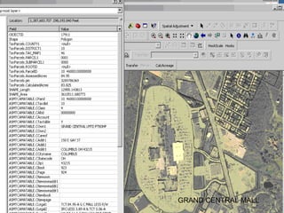
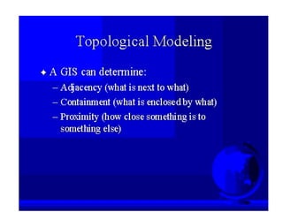
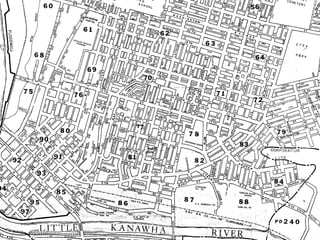
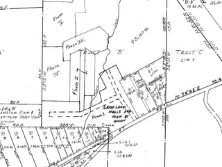
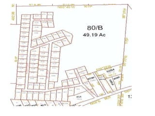
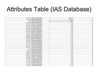
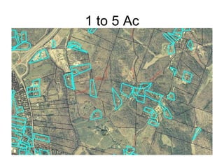


GIS systems allow assessors offices to digitally map tax parcels, link them to property databases, and overlay additional data layers. This provides many benefits like more efficiently finding properties, printing better maps, identifying parcels in flood zones, and linking parcel details to assessor databases. The Wood County assessor's office uses GIS with digital maps, aerial photos, 911 data, and attribute information to manage property assessment records.