Download to read offline


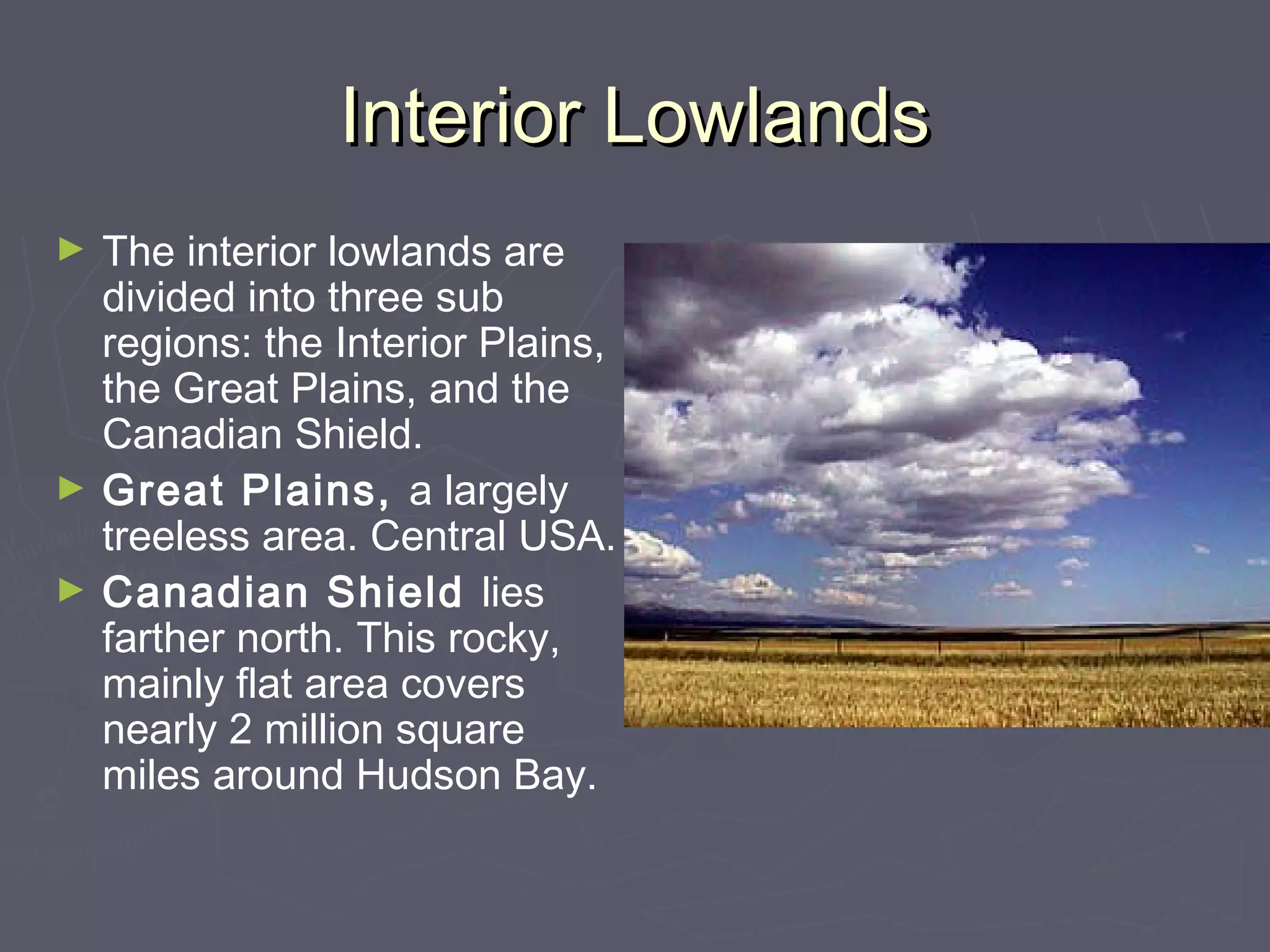


The United States and Canada together occupy most of North America, with varied terrain ranging from coastal plains to tall mountain ranges. Both countries have abundant natural resources such as fertile soil, water, forests, and minerals. The geography has enabled the development of strong economies centered around agriculture, mining, and energy production.


