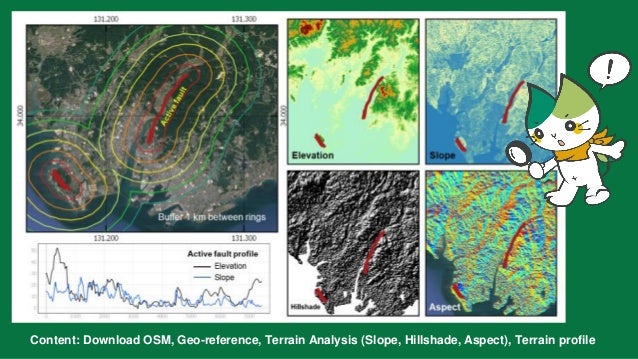
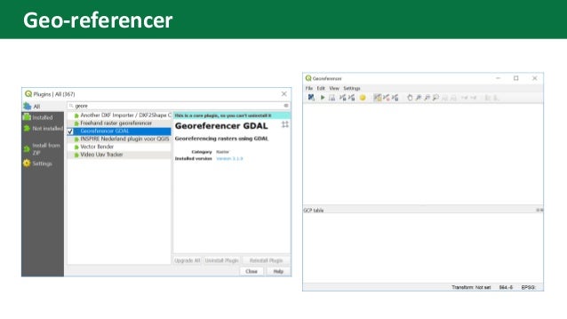
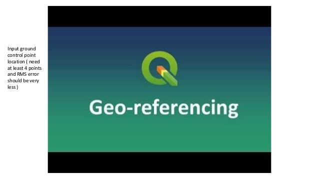
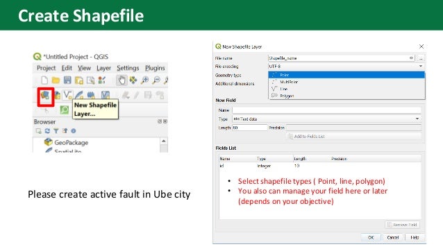
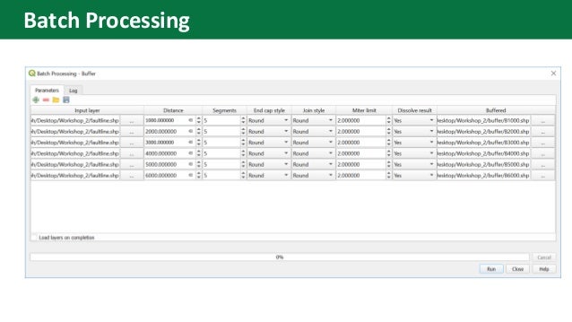
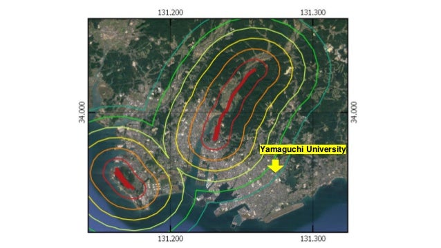
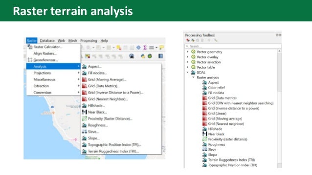
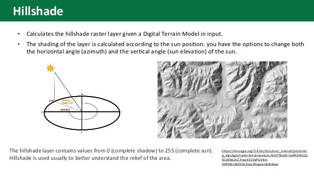
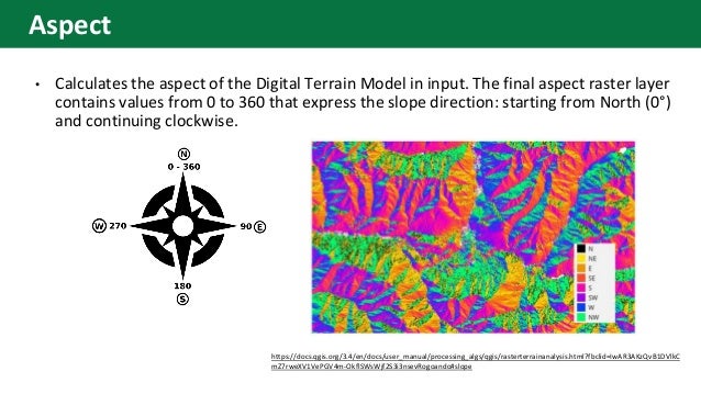
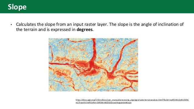
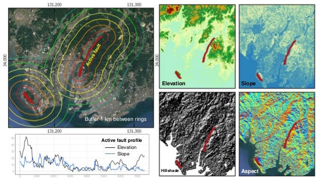
9. • Select shapefile types ( Point, line, polygon)
• You also can manage your field here or later
(depends on your objective)
Please create active fault in Ube city
Create Shapefile
14. • Calculates the hillshade raster layer given a Digital Terrain Model in input.
• The shading of the layer is calculated according to the sun position: you have the options to change both
the horizontal angle (azimuth) and the vertical angle (sun elevation) of the sun.
https://docs.qgis.org/3.4/en/docs/user_manual/processin
g_algs/qgis/rasterterrainanalysis.html?fbclid=IwAR3AKzQv
B1DVlkCmZ7rweXV1VePGV4m-
OkflSWsWjf2S3i3nsevRogoando#slope
The hillshade layer contains values from 0 (complete shadow) to 255 (complete sun).
Hillshade is used usually to better understand the relief of the area.
Hillshade
15. • Calculates the aspect of the Digital Terrain Model in input. The final aspect raster layer
contains values from 0 to 360 that express the slope direction: starting from North (0°)
and continuing clockwise.
https://docs.qgis.org/3.4/en/docs/user_manual/processing_algs/qgis/rasterterrainanalysis.html?fbclid=IwAR3AKzQvB1DVlkC
mZ7rweXV1VePGV4m-OkflSWsWjf2S3i3nsevRogoando#slope
Aspect
16. • Calculates the slope from an input raster layer. The slope is the angle of inclination of
the terrain and is expressed in degrees.
https://docs.qgis.org/3.4/en/docs/user_manual/processing_algs/qgis/rasterterrainanalysis.html?fbclid=IwAR3AKzQvB1DVlkC
mZ7rweXV1VePGV4m-OkflSWsWjf2S3i3nsevRogoando#slope
Slope
17.
18. Create your map
Active fault profile
Elevation
Slope
Elevation Slope
Hillshade Aspect
Buffer 1 km between rings