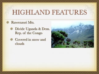
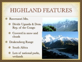
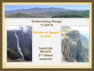
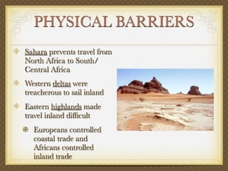
1) The highlands and plateaus that make up much of Sub-Saharan Africa's geography have created physical barriers to travel and transportation.
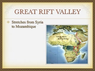
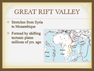
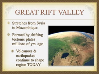
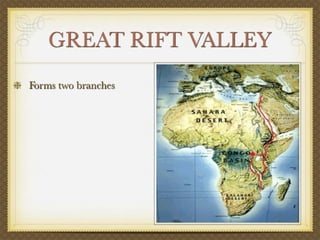
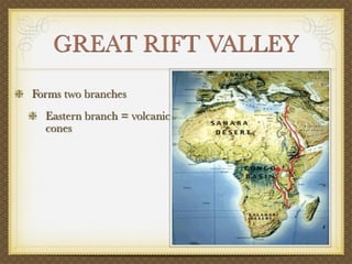
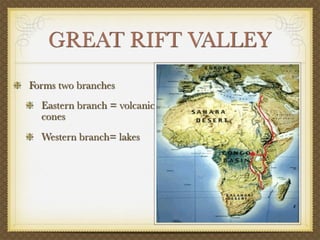
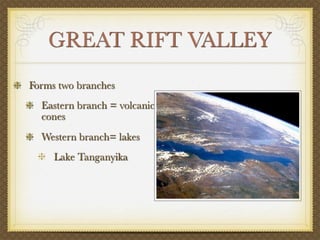
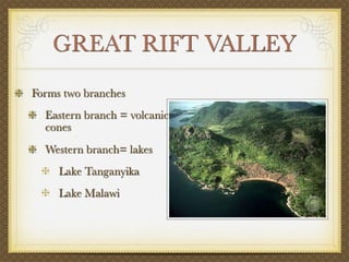
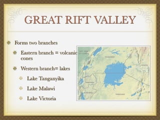
2) The Great Rift Valley stretches from Syria to Mozambique and contains lakes like Tanganyika and Malawi.
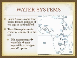
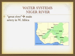
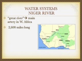
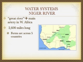
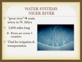
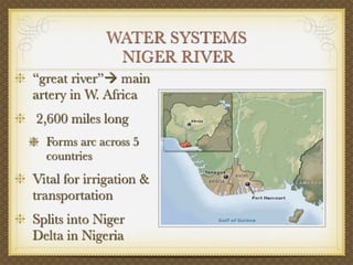
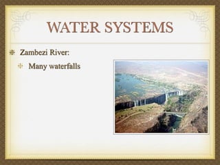
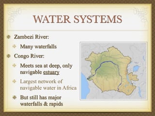
3) Major river systems like the Niger and Congo are vital transport routes but contain waterfalls and rapids that impede navigation.
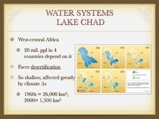
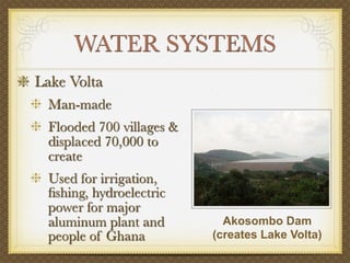
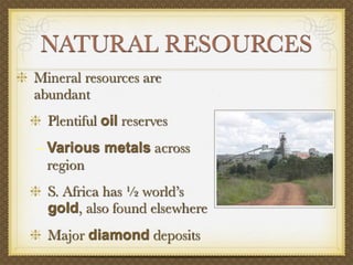
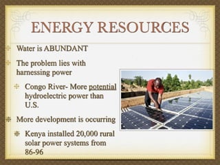
4) While natural resources are abundant throughout the region, developing energy infrastructure to harness the power of resources like hydroelectricity remains a challenge.