Download to read offline


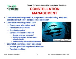


This document discusses the concept of global constellations of stratospheric satellites (StratoSats) maintained by trajectory control systems. It proposes maintaining tens to hundreds of small, long-duration balloons at an altitude of 35 km to provide continuous, global earth observations. Key points discussed include StratoSat systems design, promising earth science missions like measuring the Earth's radiation budget, and potential demonstration missions to validate the concept like a hurricane intercept mission or radiometer calibration experiment.


![915 pankine[1]](https://cdn.slidesharecdn.com/ss_thumbnails/v80v0rzrsng6dmzlnvtw-signature-3e49a9720aafd161ec5213fc5cb0fac76e0a38578f2089fb876ad1cc6de4bad4-poli-140825181333-phpapp01-thumbnail.jpg?width=640&height=640&fit=bounds)


![Wassersug richard[1]](https://cdn.slidesharecdn.com/ss_thumbnails/wassersugrichard1-140914105156-phpapp02-thumbnail.jpg?width=640&height=640&fit=bounds)


