Download as PDF, PPTX
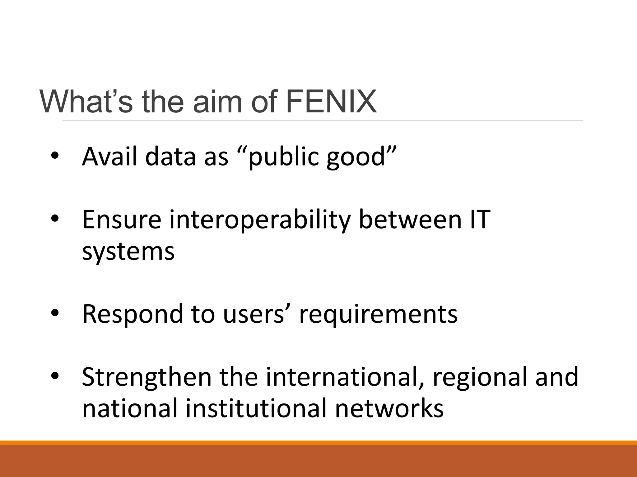
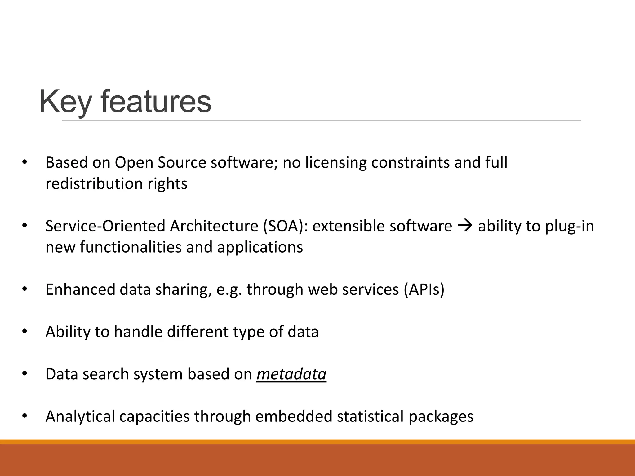

The Fenix platform is a software solution designed for the acquisition, management, and analysis of diverse data sets, aimed at providing data as a public good and ensuring interoperability among systems. Key features include open source software, service-oriented architecture, enhanced data sharing capabilities, and the implementation of user-specific interfaces with analytical modules. Future opportunities involve promoting data consistency, creating data-sharing networks, and offering geospatial information services for environmental monitoring.


