Download to read offline
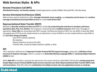
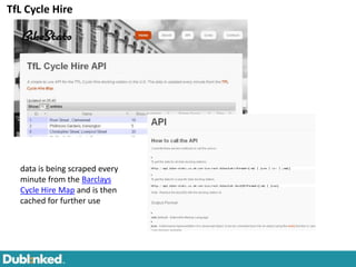
![Interoperability - Open Geospatial Consortium http://www.opengeospatial.org/
. OGC® Standards support interoperable solutions that "geo-enable" the Web, wireless and location-based services
and mainstream IT. The standards empower technology developers to make complex spatial information and services
accessible and useful with all kinds of applications. The OGC standards baseline comprises more than 30 standards,
including:
CSW - Catalog Service for the Web: access to catalog information
GML - Geography Markup Language:
GeoXACML - Geospatial eXtensible Access Control Markup Language
KML - Keyhole Markup Language:
Observations and Measurements
OGC Reference Model - a complete set of reference models
OWS - OGC Web Service Common
Sensor Observation Service[4] (SOS)
Sensor Planning Service[5] (SPS)
SensorML - Sensor Model Language
SFS - Simple Features - SQL
Styled Layer Descriptor (SLD)
WCS - Web Coverage Service:
WFS - Web Feature Service
WMS - Web Map Service: provides map images
WMTS - Web Map Tile Service: provides map image tiles
WPS - Web Processing Service: remote processing service](https://image.slidesharecdn.com/dublinkedtechworkshop15dec2011-111220041157-phpapp01/85/Dublinked-tech-workshop_15_dec2011-9-320.jpg)
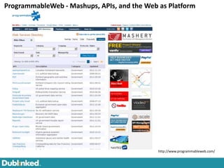
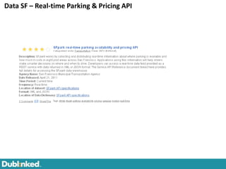
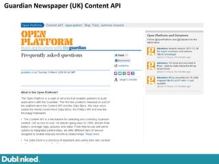

The document provides an overview of the Dublinked Technology Workshop held on December 15th, 2011. It includes presentations on transportation data, spatial web services, linked data, and semantic data description. Breakout sessions covered topics like data publishing, discovery, web services, and advanced functions. The workshop aimed to address challenges around sharing digital data between organizations and discussed technical requirements and tools to support open government data platforms.