Download to read offline
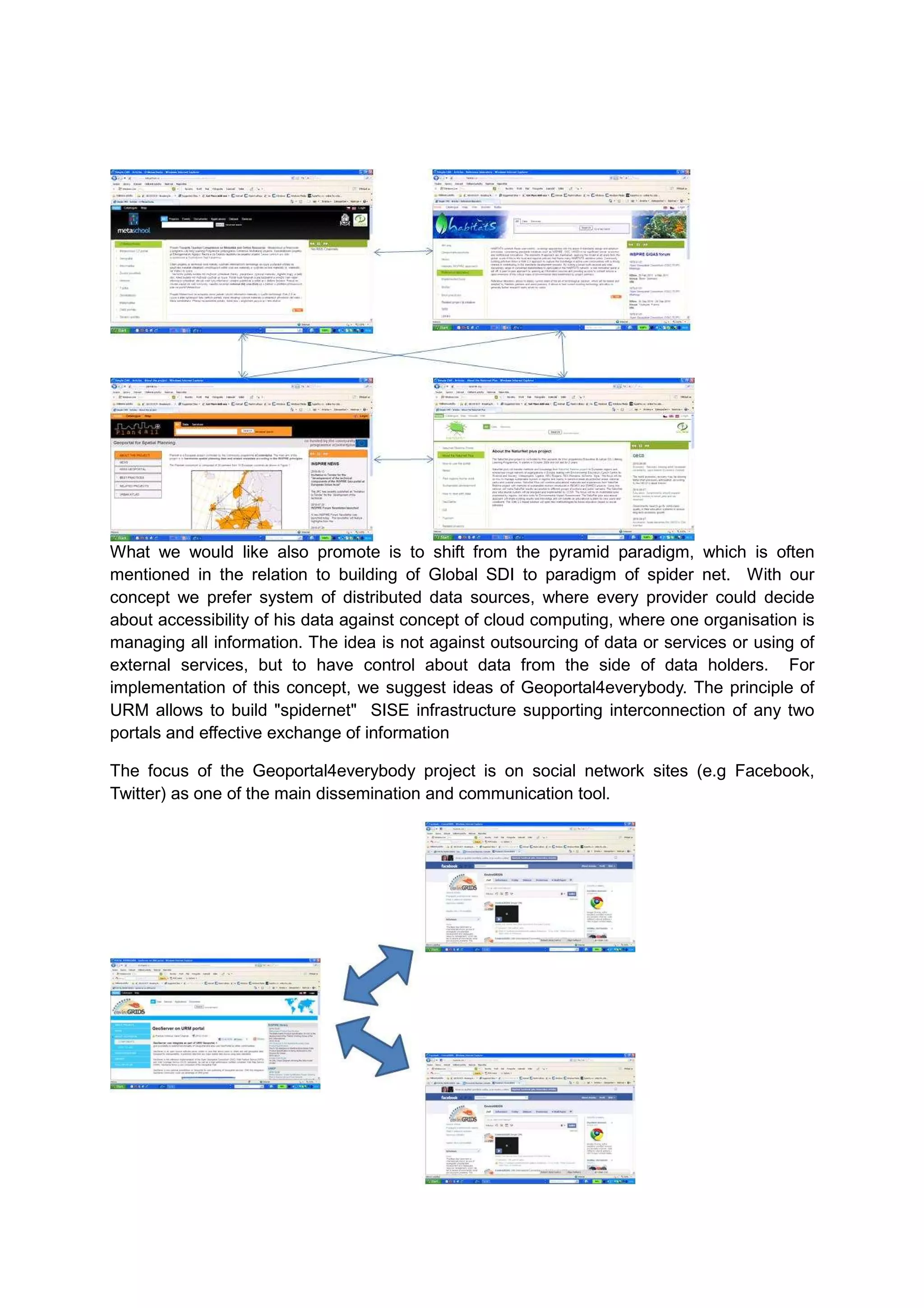
![The Geoportal4everybody will be an entry point for any news (new developments,
problematic topics, progress in the project, etc.). News will be posted by the project partners
and will be automatically distributed to a number of selected communities – social network
sites.
This approach will allow involving other communities from one place without having to enter
each community. Users of various social network sites can read entries and comment
through their respective communities and don’t have to register elsewhere.
Geoportal4everybody is in principle also social network offering sharing of information
(including spatial] among community. Principle sharing of information among portal also offer
support for exchange information among communities
The Geoportal4everybody is an entry point for any news (new developments, problematic
topics, progress in the project, etc.). News will be posted by the project partners and will be
automatically distributed to a number of selected communities – social network sites.
Feedback from these social network sites will be retrieved using RSS and answered again
from the central point. This approach will allow involving other communities from one place
without having to enter each community. Users of various social network sites can read
entries and comment through their respective communities and don’t have to register
elsewhere.
GeoPortal4everybody also support utilisation of information from other social networks like
SlideShare or YouTube
Other functionality is combining text with interactive maps.](https://image.slidesharecdn.com/envirogridsgeoportal-101202090233-phpapp01/75/Enviro-grids-geoportal-7-2048.jpg)
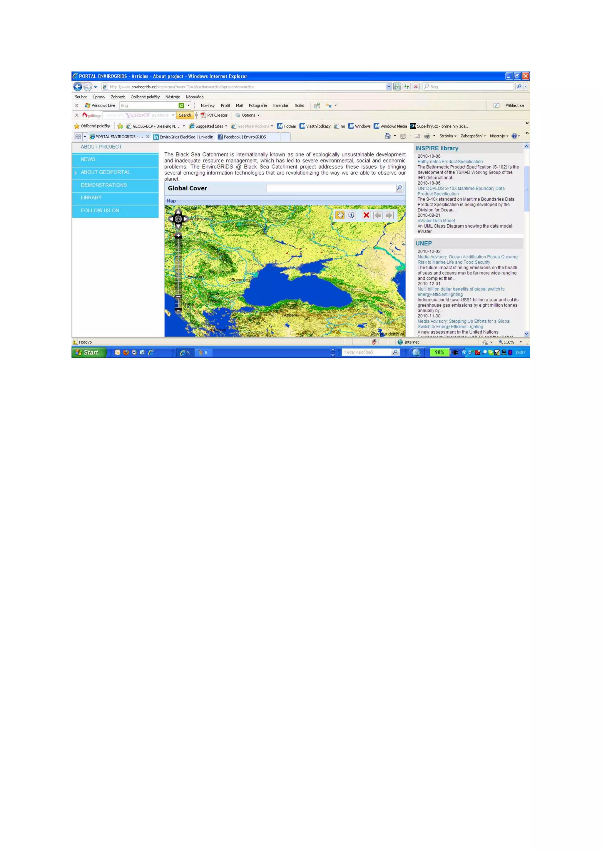

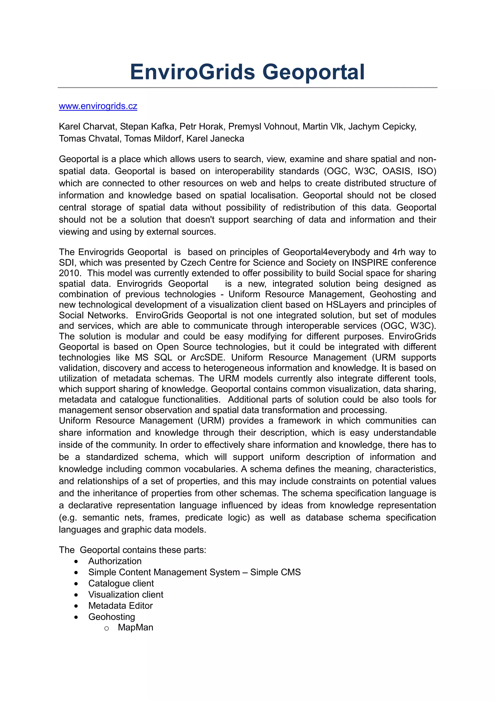
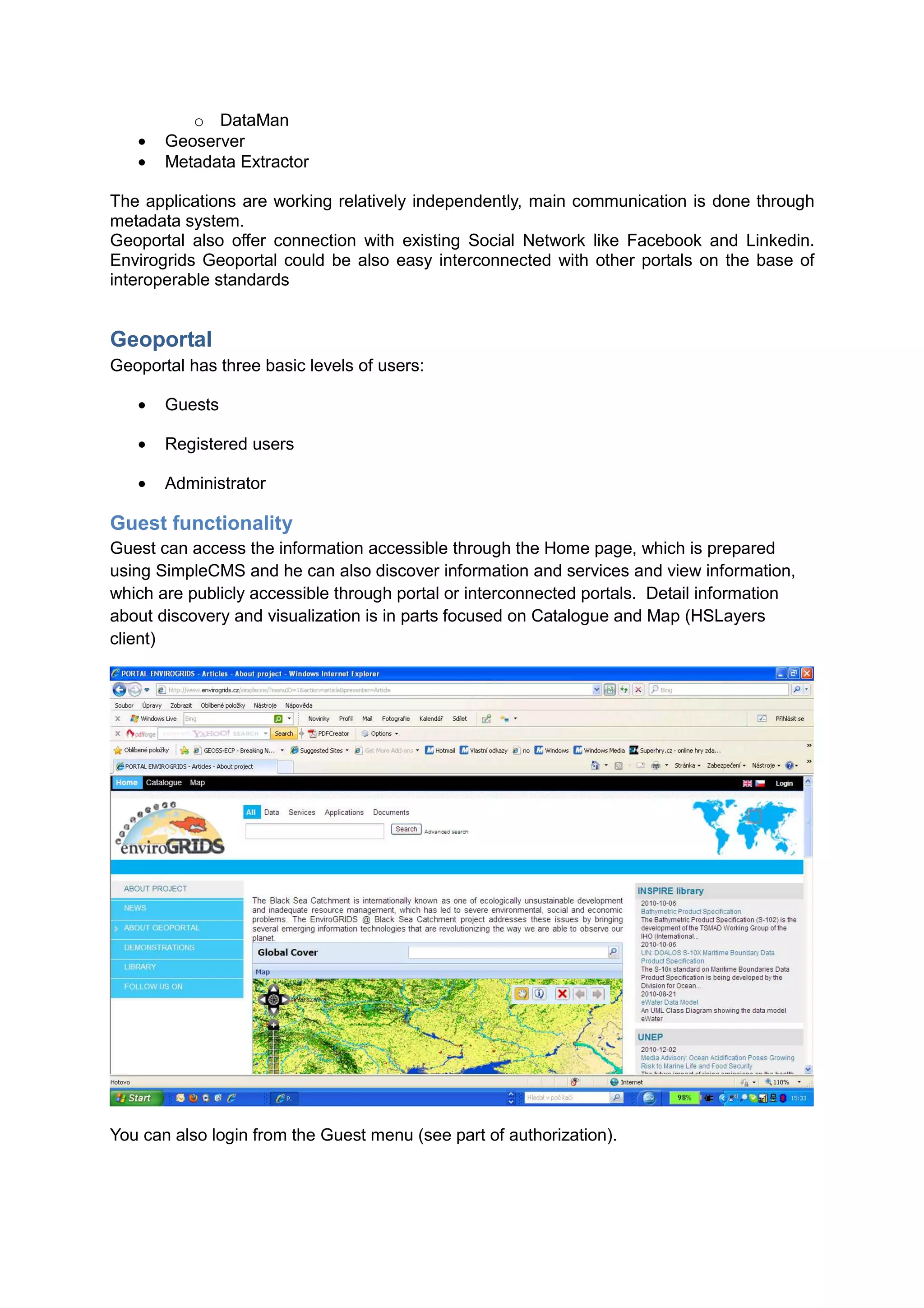
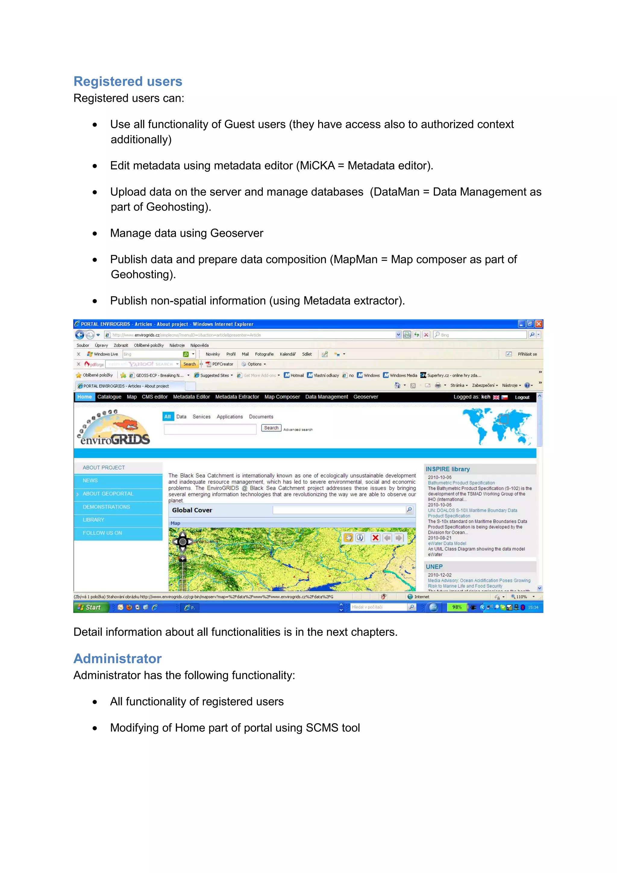
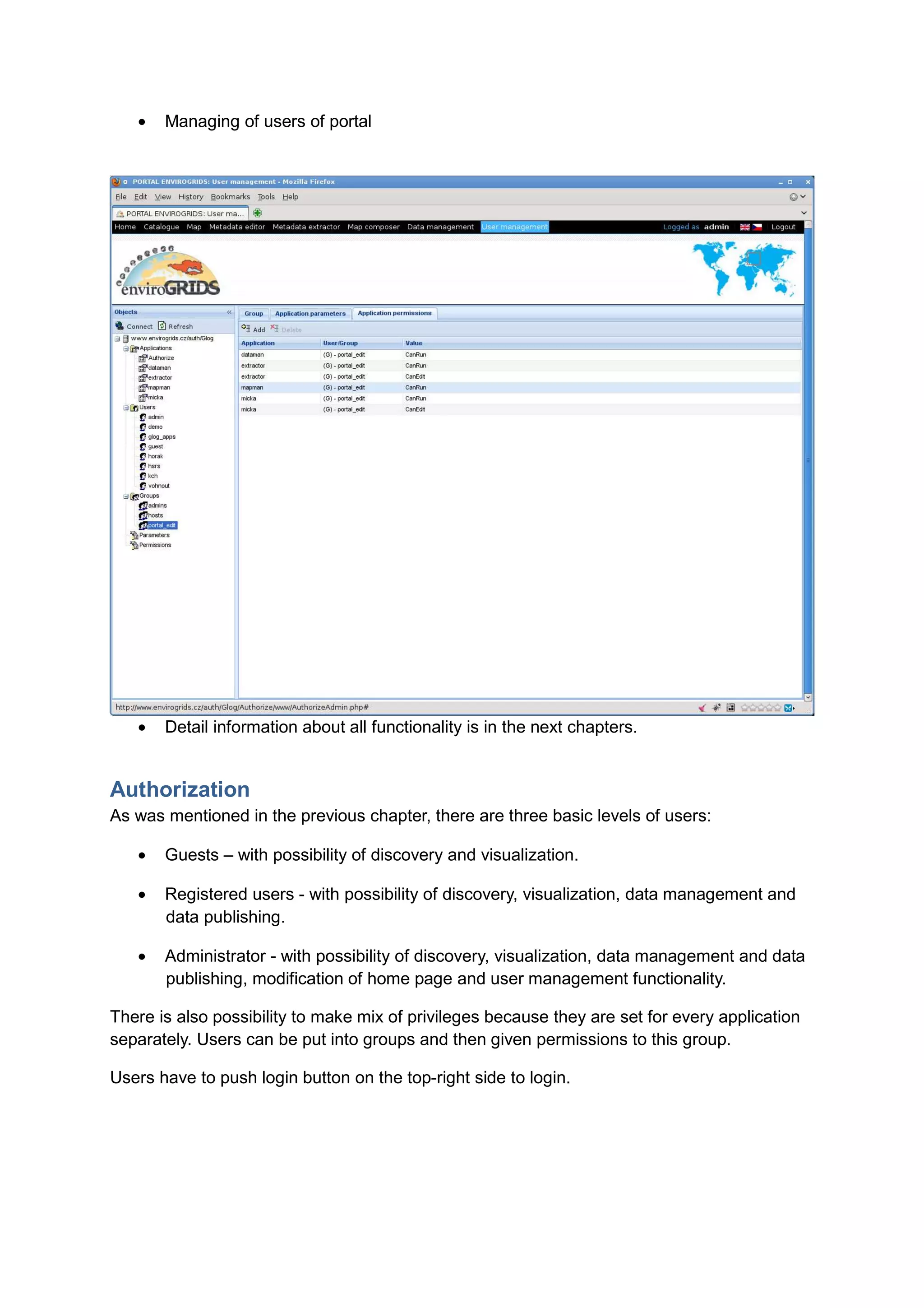
The EnviroGrids Geoportal is an open source, modular geoportal system that allows users to search, view, and share spatial and non-spatial data based on interoperability standards. It includes tools for data validation, discovery, access, visualization, sharing, and metadata management. The geoportal also connects to social networks to further enable sharing of spatial information among communities. It has a three-tiered user structure of guests, registered users, and administrators and utilizes uniform resource management and open standards to interconnect distributed sources of spatial data.


