Downloaded 104 times

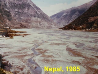

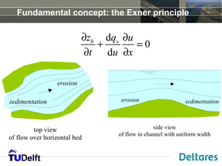
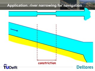
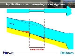
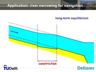
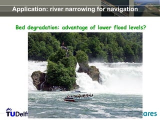

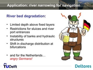
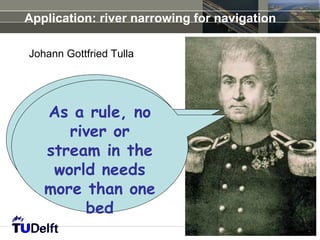
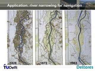
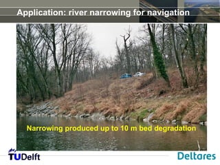
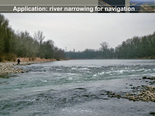
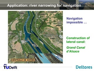
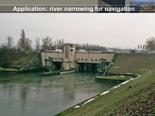
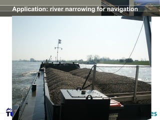
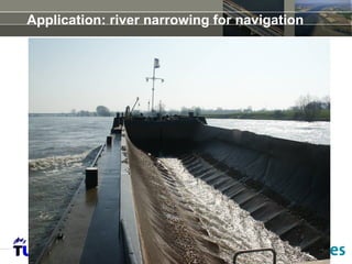
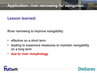

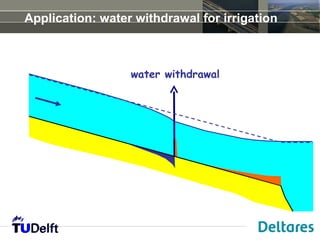
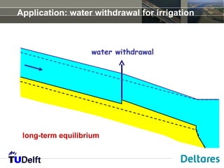
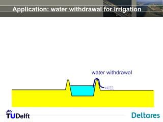
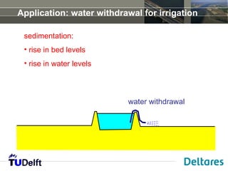
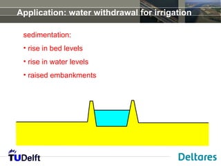
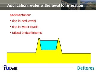
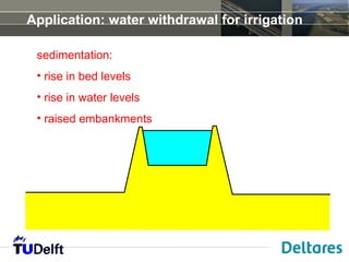
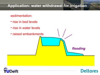
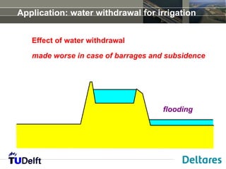
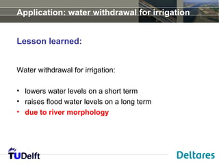
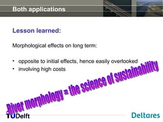
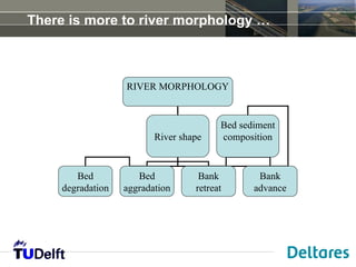


The document discusses river morphology and its impact on sustainability, focusing on concepts such as erosion, sedimentation, and the Exner principle. Various applications like river narrowing for navigation and water withdrawal for irrigation are examined, highlighting short-term effectiveness versus long-term challenges. Lessons learned indicate that modifications to rivers can have overlooked morphological effects that may lead to significant maintenance costs.


