Download to read offline


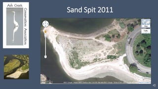
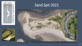
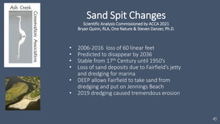
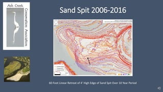
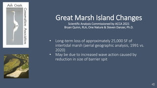

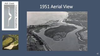


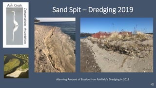


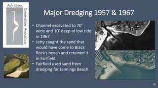

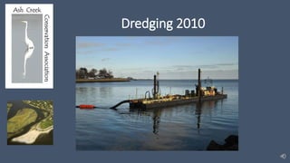

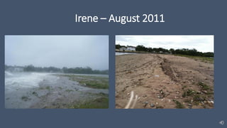
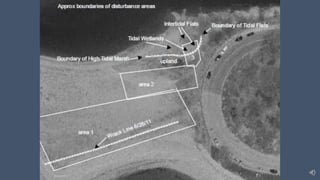


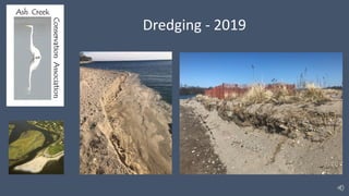
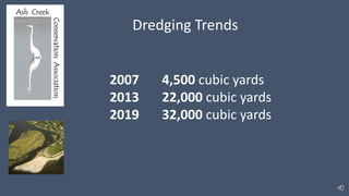
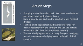


- The barrier spit at St. Mary's-by-the-Sea has been eroding, with a loss of 60 linear feet from 2006-2016. It is projected to disappear entirely by 2036 if changes are not made. - Fairfield's jetty, marina, and dredging activities since the 1950s have disrupted sand deposits and contributed to erosion of the spit and marshlands. - Rising sea levels from climate change are also a factor, as the marshland grows taller but cannot keep pace with rising waters. Restoration efforts have been ongoing but dredging activities continue to cause damage.


