Download as PDF, PPTX


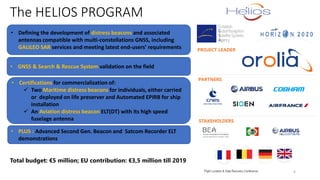

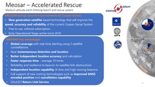
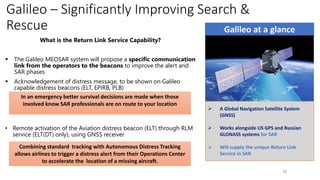
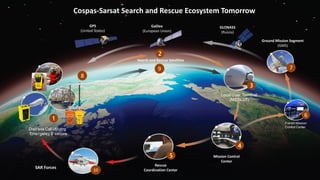
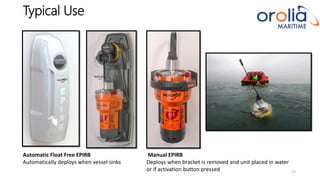
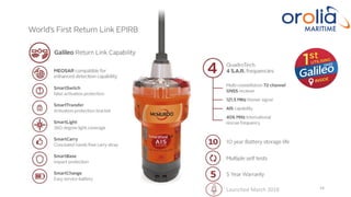

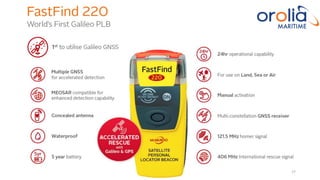
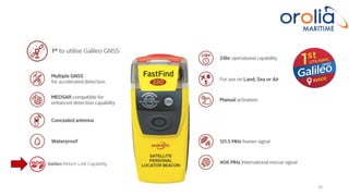


The document discusses the advancements in European GNSS applications within Horizon 2020, focusing on enhanced search and rescue capabilities through the MEOSAR system and new distress beacons. It highlights innovations such as the integration of Galileo technology and improvements in rescue response time and accuracy. With a total budget of €5 million, the document also details the Helios project aimed at developing compatible distress beacons for maritime and aviation use.


