Downloaded 28 times


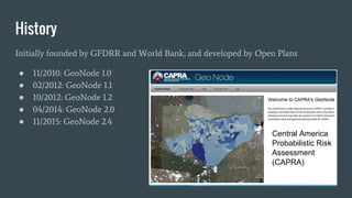


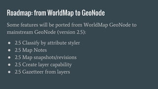


This document provides an introduction and demo of GeoNode, an open source platform that allows users to easily share geospatial data and create web maps. The summary highlights that GeoNode was initially developed by the World Bank and Open Plans in 2010 and is now used by various organizations for mapping and sharing geospatial data. It also provides an overview of GeoNode's architecture, which uses Python, Django, GeoServer, PostgreSQL/PostGIS and other open source tools to enable features like map creation, data editing and metadata management.


![Lect 1 Number systems and base conversions. [Autosaved].pptx](https://cdn.slidesharecdn.com/ss_thumbnails/lect1numbersystemsandbaseconversions-260111134109-67c2d865-thumbnail.jpg?width=640&height=640&fit=bounds)
