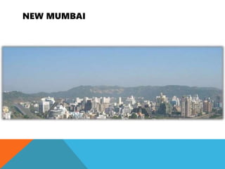
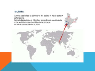
1. Bombay experienced rapid population growth in the decades after independence, straining infrastructure and resources.
2. In response, the government formed committees to study the problems and recommend solutions, including developing land across the Thane Creek to relieve pressure on the city.
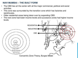
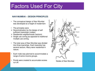
3. The Gadgil Committee recommended decentralizing industries away from Bombay and developing multi-nucleated settlements on the mainland. This influenced the planning of Navi Mumbai as a series of smaller, self-contained nodes along transit lines.