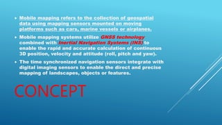
Mobile mapping refers to collecting geospatial data using mapping sensors mounted on moving platforms like cars, boats, and airplanes. Mobile mapping systems use GNSS and INS technologies to precisely calculate position, velocity, and orientation in 3D. Time-synchronized navigation sensors integrate with imaging sensors to directly map landscapes, objects, and features. Mobile mapping provides advantages like safety, 24/7 collection, accessibility to otherwise inaccessible areas, and ability to rapidly collect huge amounts of data compared to static scanning. Disadvantages include higher purchase prices and data quantities produced.