Measuring erosion on irrigation
•
0 likes•206 views

69th SWCS International Annual Conference “Making Waves in Conservation: Our Life on Land and Its Impact on Water” July 27-30, 2014 Lombard, IL

Recommended
Recommended
More Related Content
What's hot
What's hot (20)
Viewers also liked
Viewers also liked (20)
Similar to Measuring erosion on irrigation
Similar to Measuring erosion on irrigation (20)
More from Soil and Water Conservation Society
More from Soil and Water Conservation Society (20)
Recently uploaded
Recently uploaded (20)
Measuring erosion on irrigation
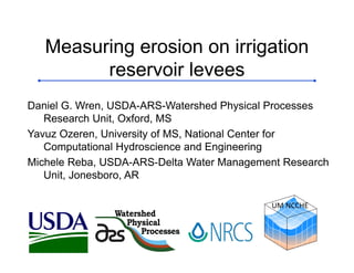
- 1. Watershed Physical Processes Measuring erosion on irrigation reservoir levees Daniel G. Wren, USDA-ARS-Watershed Physical Processes Research Unit, Oxford, MS Yavuz Ozeren, University of MS, National Center for Computational Hydroscience and Engineering Michele Reba, USDA-ARS-Delta Water Management Research Unit, Jonesboro, AR UM NCCHE
- 2. Acknowledgements Carlos Alonso USDA‐ARS(ret.) Dennis Carman White River Irrigation District Keith Admire NRCS National Water Mgt. Center Watershed Physical Processes
- 3. Introduction • The Mississippi/Arkansas Delta region is one of the largest agricultural production areas in the United States—about 7.1 million irrigated acres • In spite of receiving around 55 inches/year of rainfall, irrigation is needed to both maximize yields and reduce risk • Excessive groundwater withdrawals have exceeded recharge rates for some time • Surface water storage in irrigation reservoirs is one strategy that is being used for reducing the use of groundwater
- 6. Study site: Fisher Reservoir
- 14. Loss of levee volume • About 1800 yd3 lost in one season • At $2/yd3 for repair, this is about $3,600 • If this is typical, then 5 year maintenance would be $18,000
- 15. Where do we go from here? • Levee erosion mechanics—field and laboratory research – Relationship between wave energy and erosion • Reducing fetch – Interior levees – Floating barriers • Assess existing reservoirs for useful patterns – Effect of reservoir shape and orientation on erosion
- 16. Laboratory work
- 21. Questions?