Download to read offline
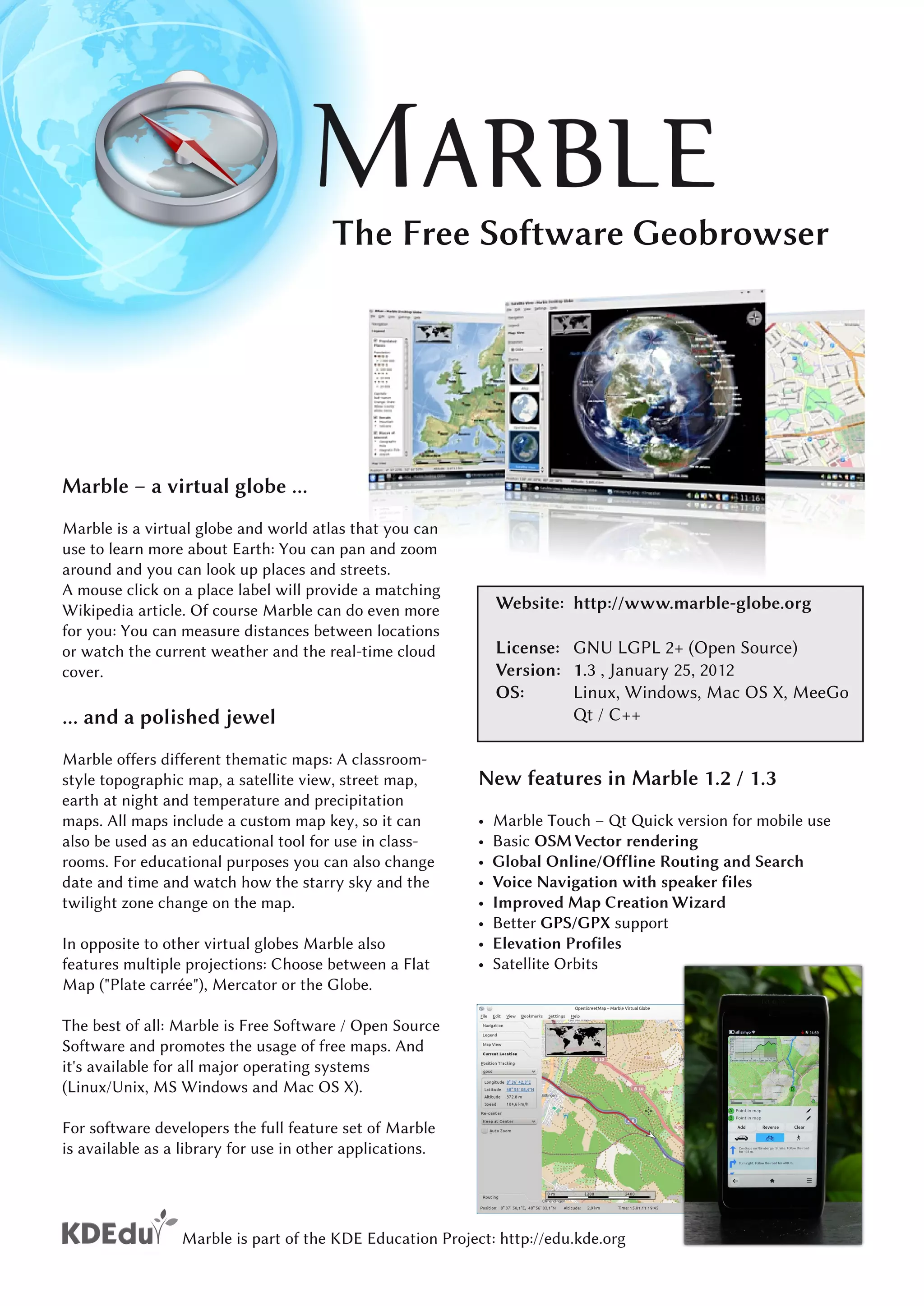
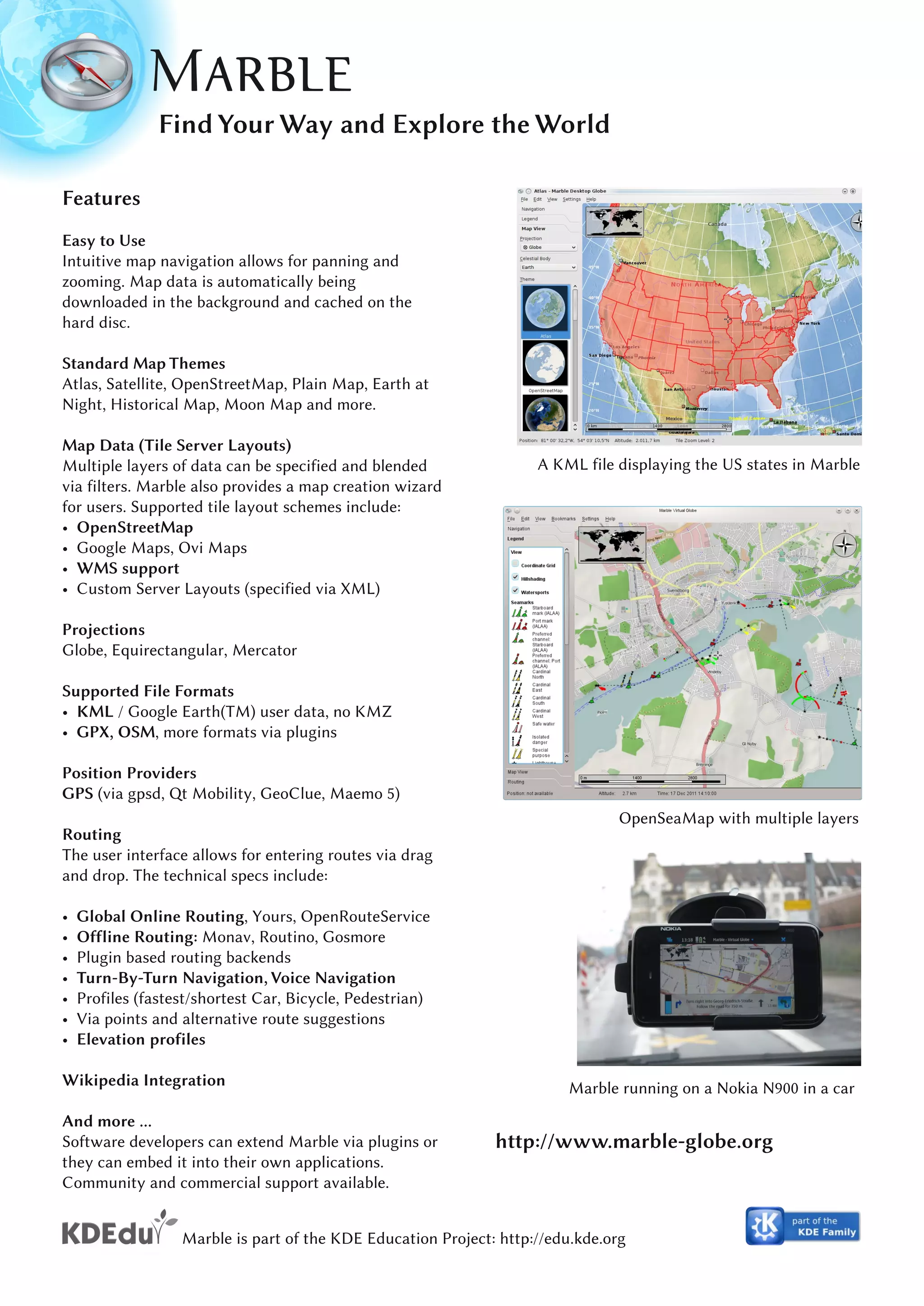

Marble is a free and open source virtual globe and world atlas program that can be used across Linux, Windows, and Mac operating systems. It allows users to navigate globally using interactive maps with satellite imagery, topography, streets, and other map types. Marble also provides distance measurement, weather data, star maps, routing, and Wikipedia article lookup via place labels. The application includes educational tools like changing the date and time to view celestial changes.