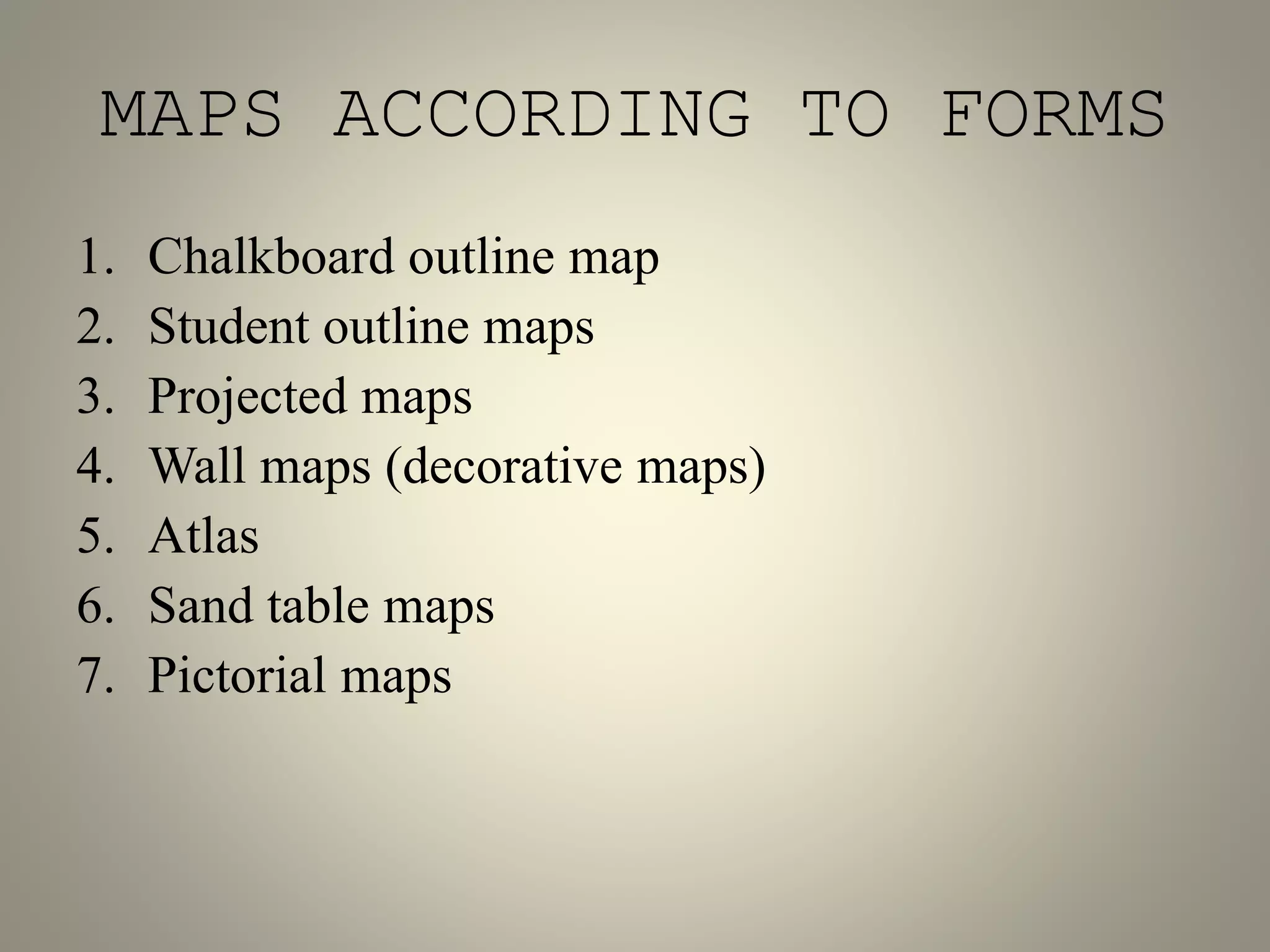
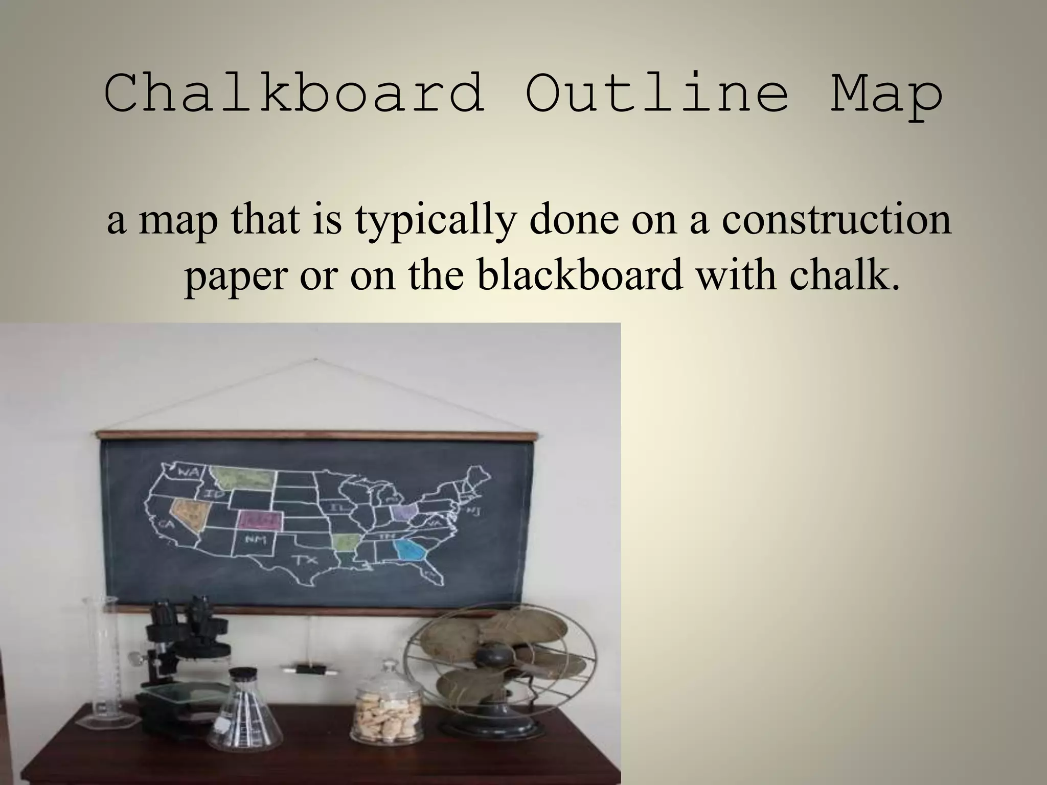
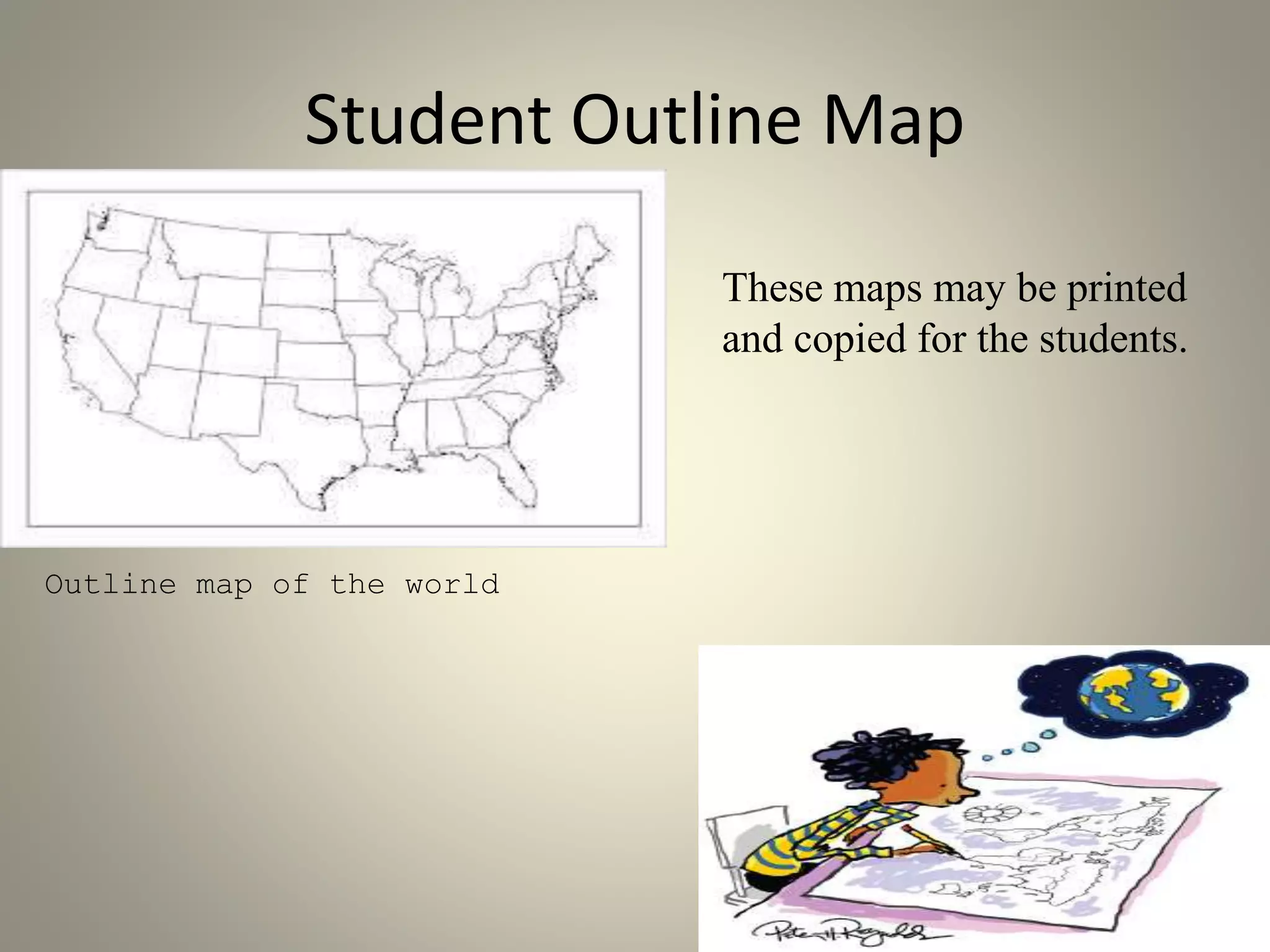
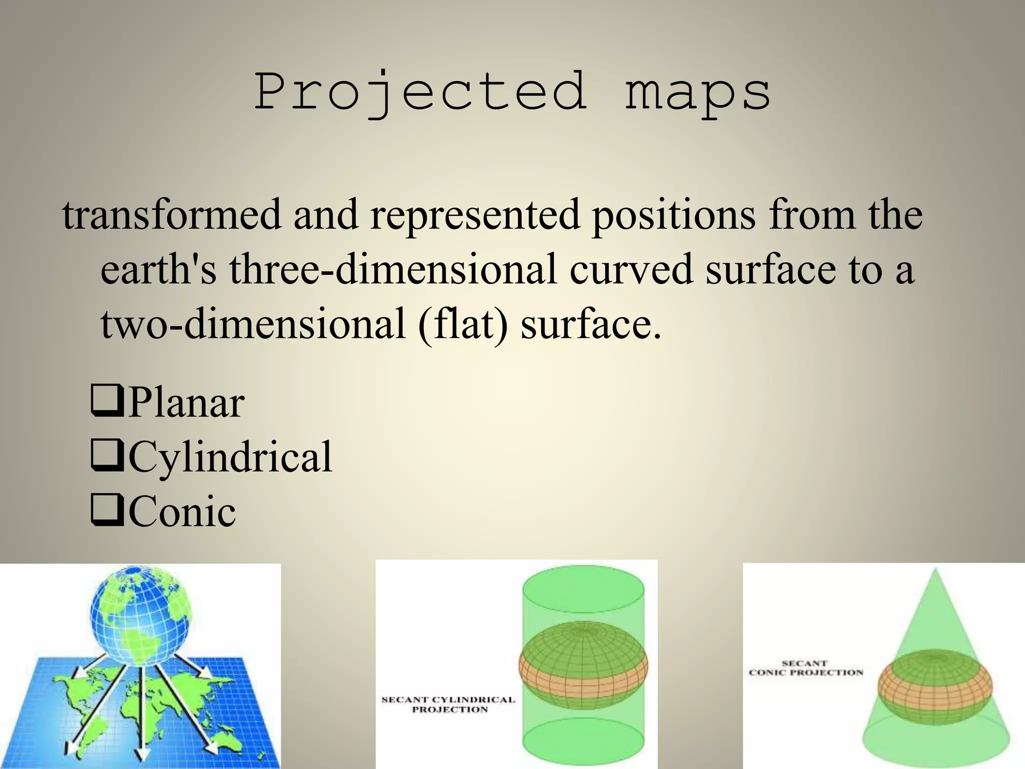
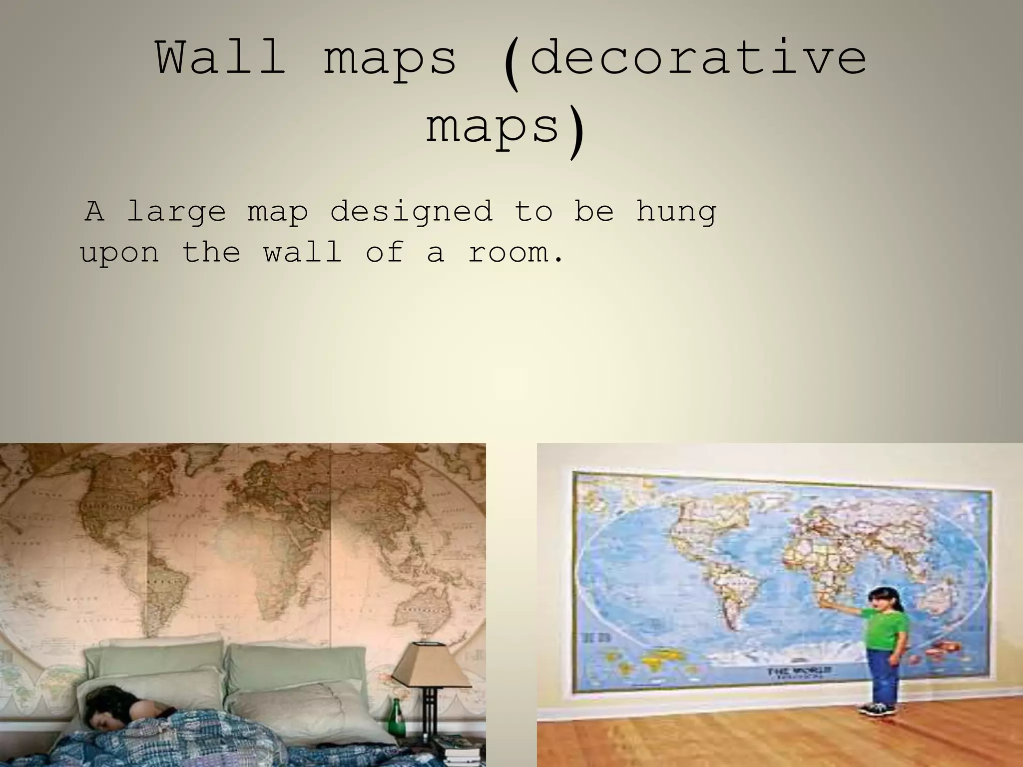
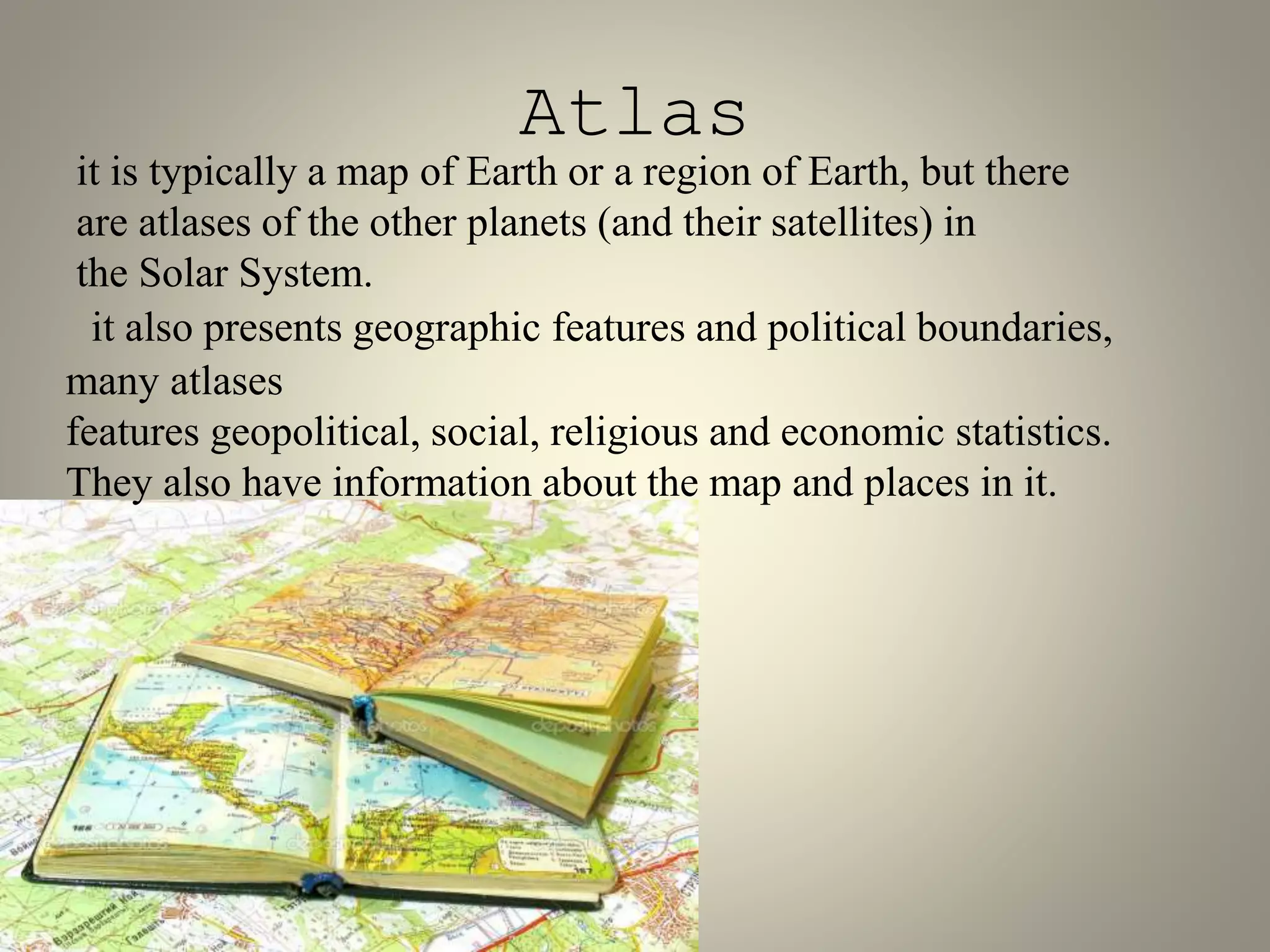
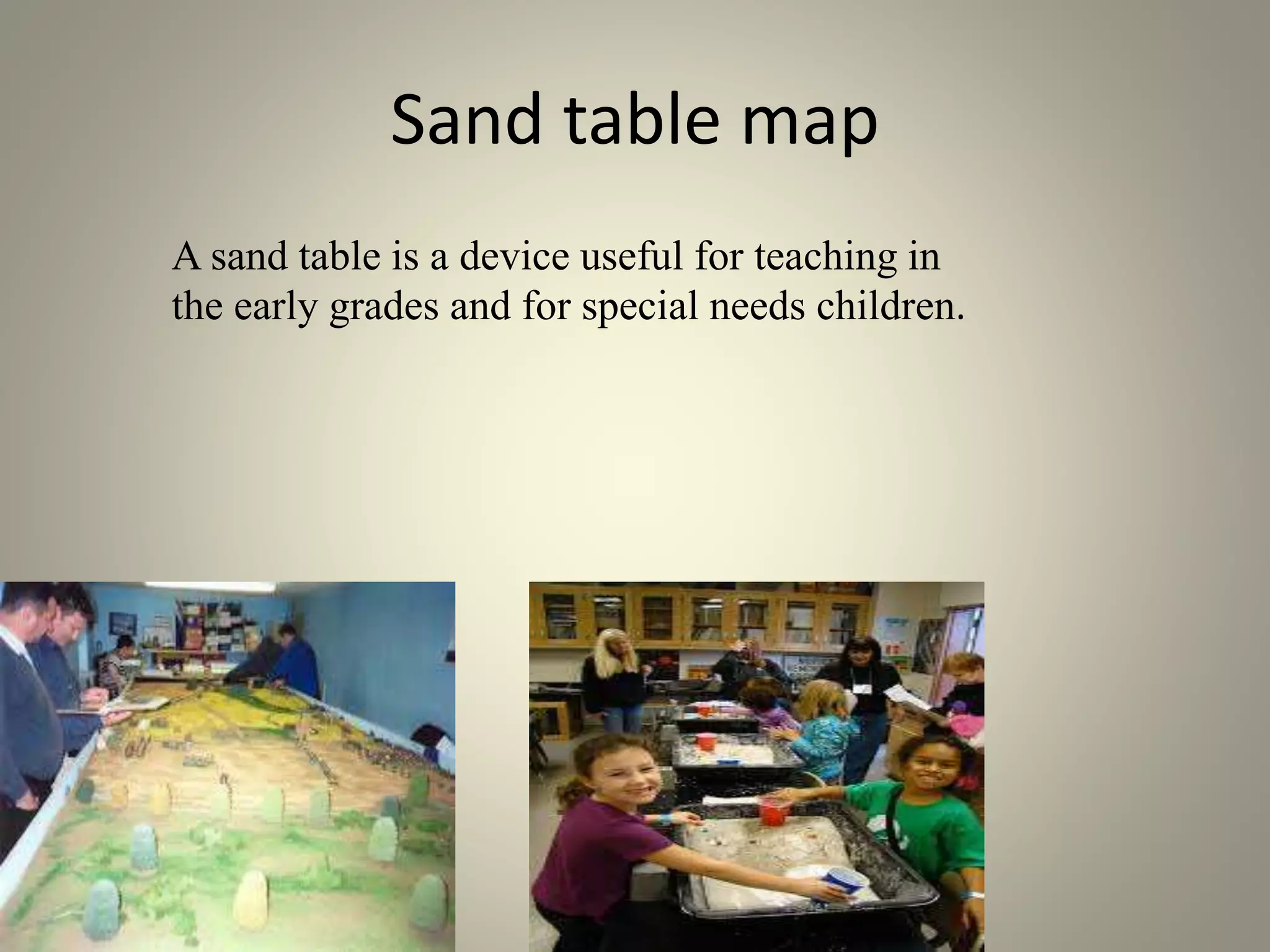
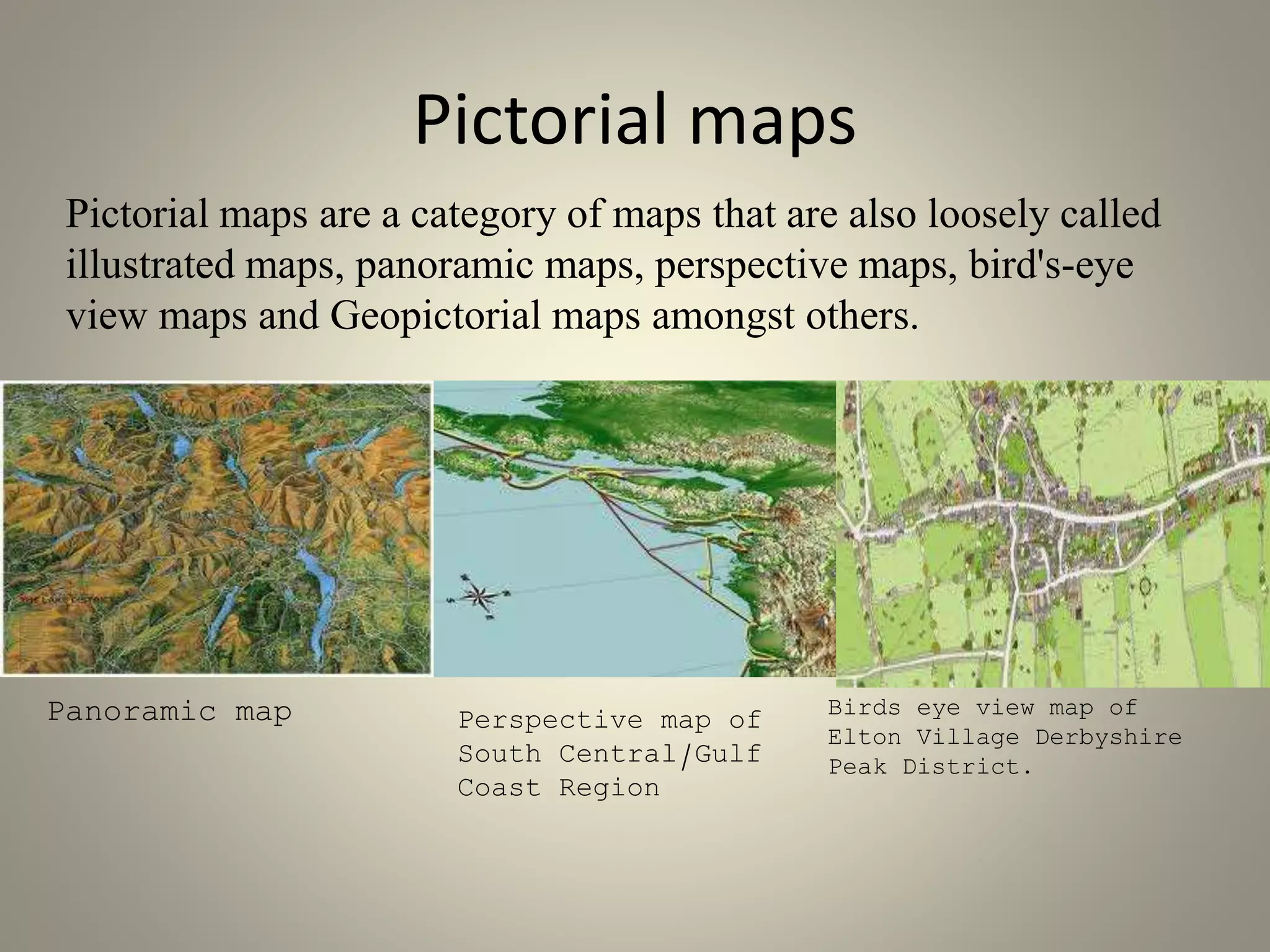
Maps according to forms 
Angielica Bandillo
MAPS ACCORDING TO FORMS 
1. Chalkboard outline map 
2. Student outline maps 
3. Projected maps 
4. Wall maps (decorative maps) 
5. Atlas 
6. Sand table maps 
7. Pictorial maps
Chalkboard Outline Map 
a map that is typically done on a construction 
paper or on the blackboard with chalk.
Student Outline Map 
Outline map of the world 
These maps may be printed 
and copied for the students.
Projected maps 
transformed and represented positions from the 
earth's three-dimensional curved surface to a 
two-dimensional (flat) surface. 
Planar 
Cylindrical 
Conic
Wall maps (decorative 
maps) 
A large map designed to be hung 
upon the wall of a room.
Atlas 
it is typically a map of Earth or a region of Earth, but there 
are atlases of the other planets (and their satellites) in 
the Solar System. 
it also presents geographic features and political boundaries, 
many atlases 
features geopolitical, social, religious and economic statistics. 
They also have information about the map and places in it.
Sand table map 
A sand table is a device useful for teaching in 
the early grades and for special needs children.
Pictorial maps 
Pictorial maps are a category of maps that are also loosely called 
illustrated maps, panoramic maps, perspective maps, bird's-eye 
view maps and Geopictorial maps amongst others. 
Panoramic map Perspective map of 
South Central/Gulf 
Coast Region 
Birds eye view map of 
Elton Village Derbyshire 
Peak District.
That would be all…

Maps according to forms anjj

  • 1.
    Maps according toforms Angielica Bandillo
  • 2.
    MAPS ACCORDING TOFORMS 1. Chalkboard outline map 2. Student outline maps 3. Projected maps 4. Wall maps (decorative maps) 5. Atlas 6. Sand table maps 7. Pictorial maps
  • 3.
    Chalkboard Outline Map a map that is typically done on a construction paper or on the blackboard with chalk.
  • 4.
    Student Outline Map Outline map of the world These maps may be printed and copied for the students.
  • 5.
    Projected maps transformedand represented positions from the earth's three-dimensional curved surface to a two-dimensional (flat) surface. Planar Cylindrical Conic
  • 6.
    Wall maps (decorative maps) A large map designed to be hung upon the wall of a room.
  • 7.
    Atlas it istypically a map of Earth or a region of Earth, but there are atlases of the other planets (and their satellites) in the Solar System. it also presents geographic features and political boundaries, many atlases features geopolitical, social, religious and economic statistics. They also have information about the map and places in it.
  • 8.
    Sand table map A sand table is a device useful for teaching in the early grades and for special needs children.
  • 9.
    Pictorial maps Pictorialmaps are a category of maps that are also loosely called illustrated maps, panoramic maps, perspective maps, bird's-eye view maps and Geopictorial maps amongst others. Panoramic map Perspective map of South Central/Gulf Coast Region Birds eye view map of Elton Village Derbyshire Peak District.
  • 10.