Download to read offline

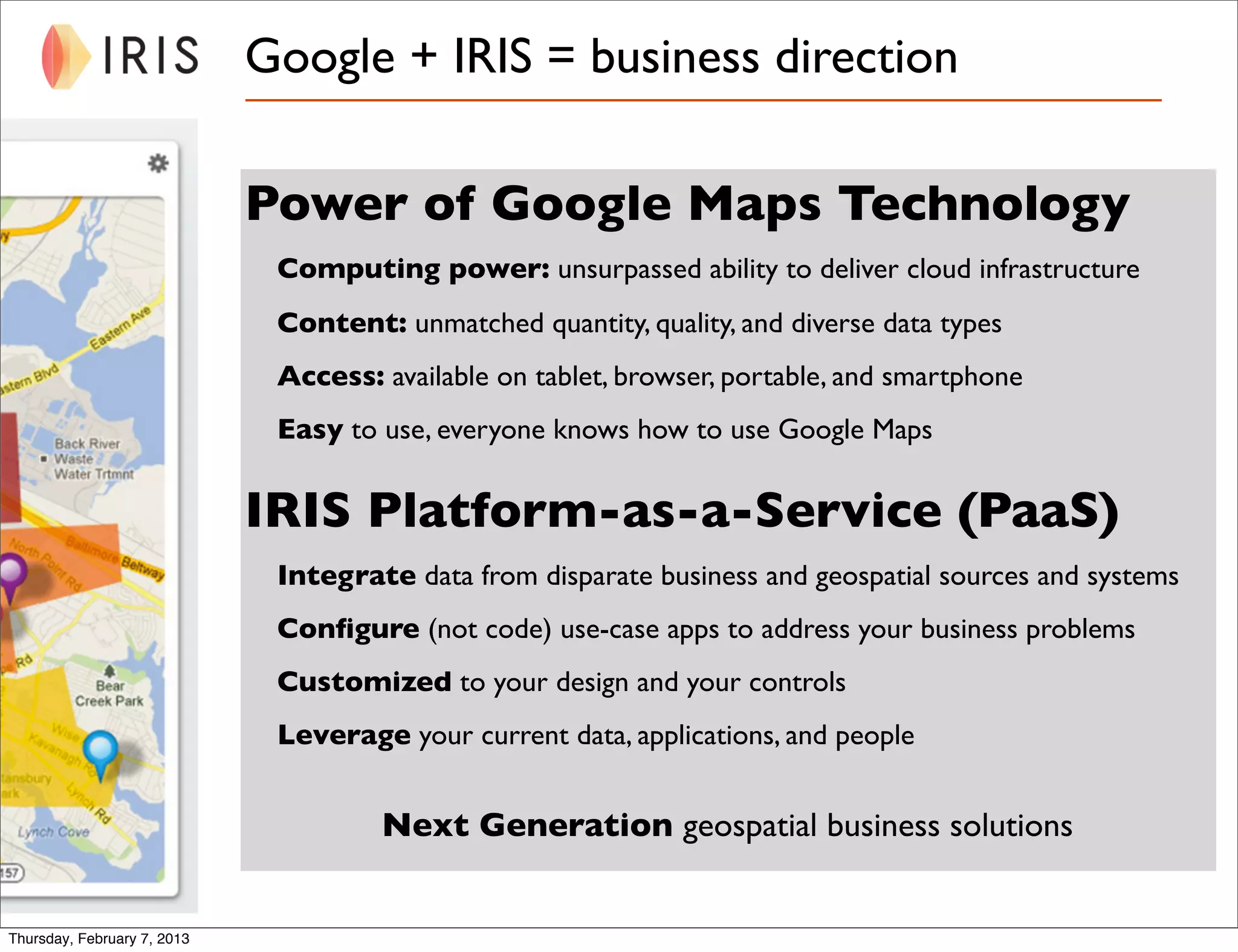
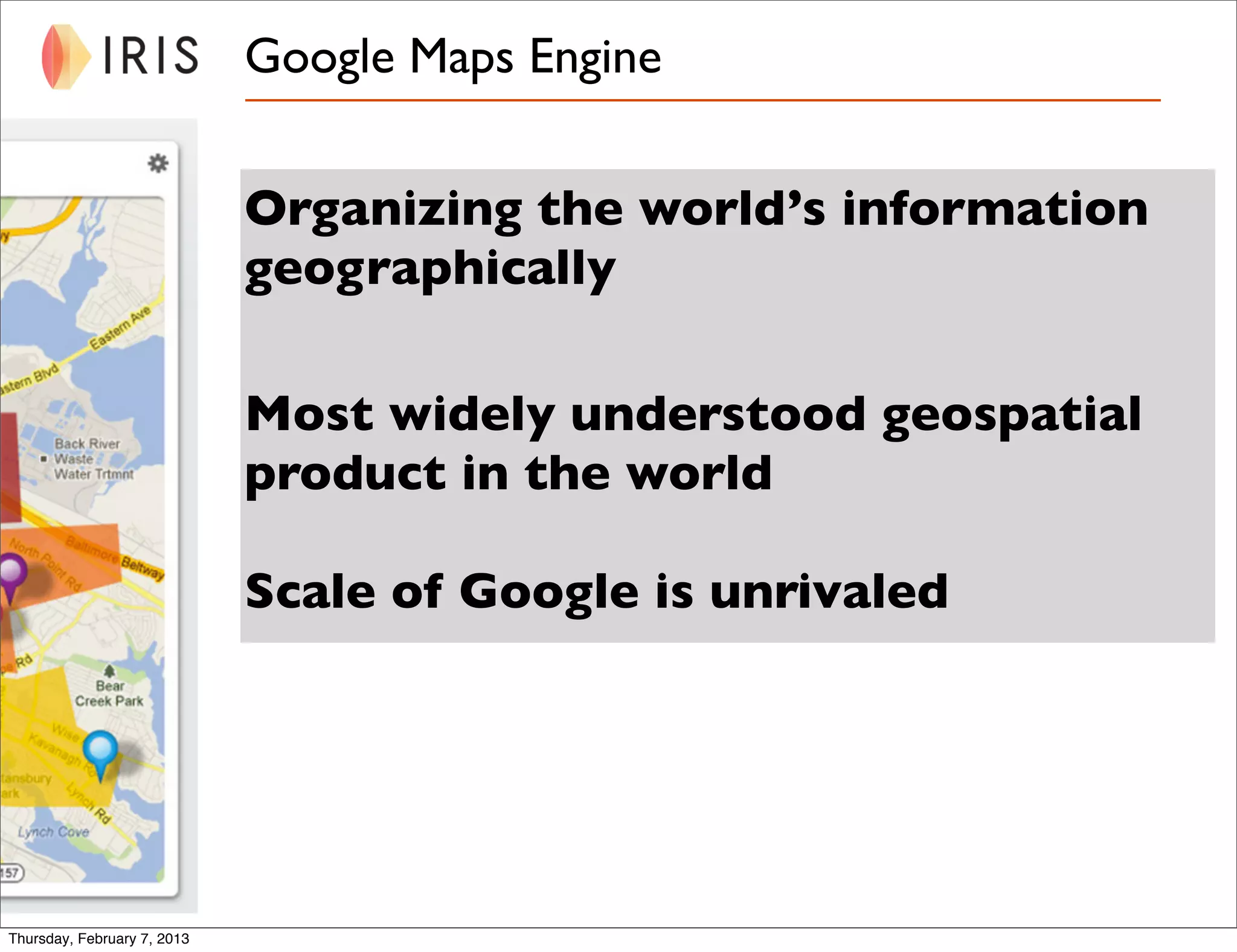
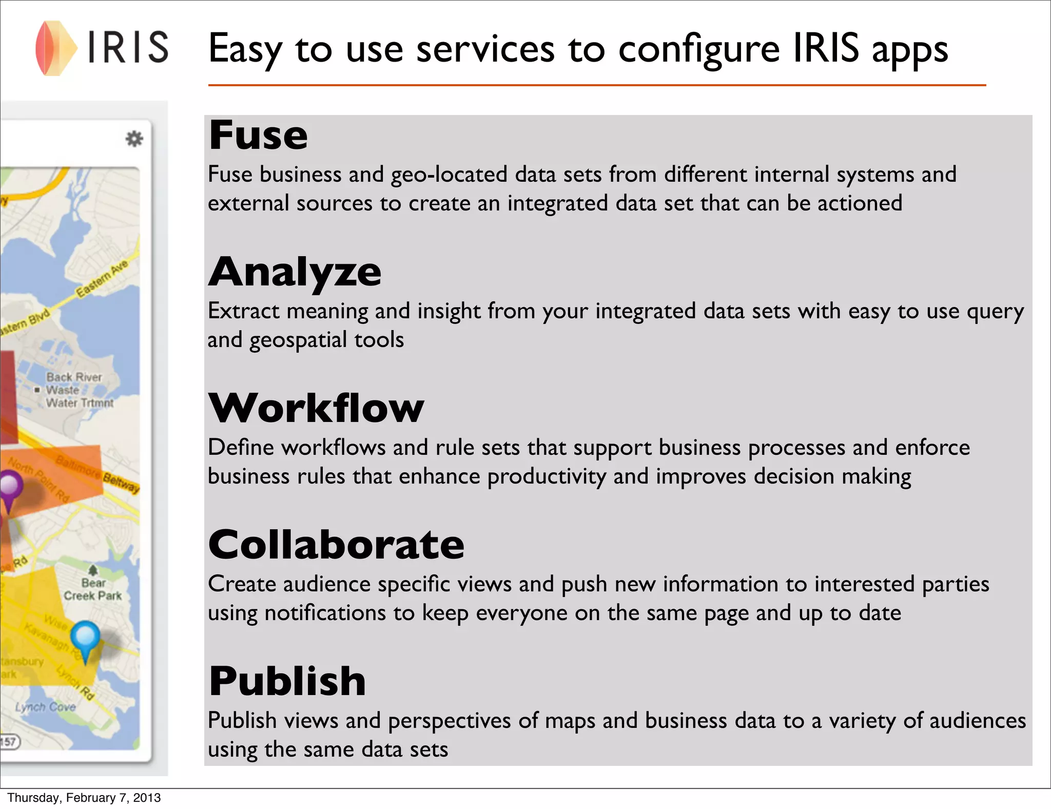
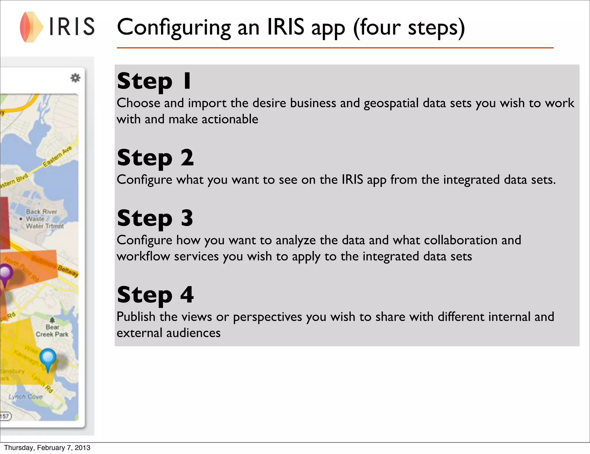


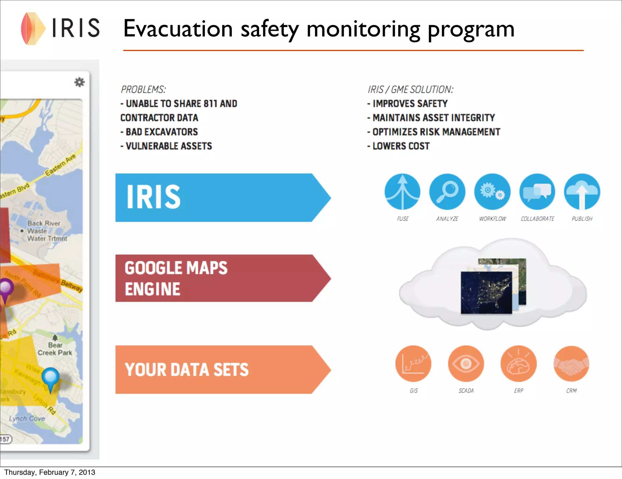

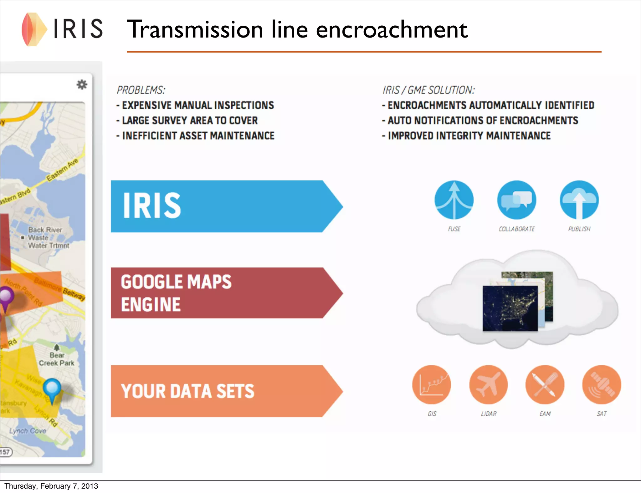


The document outlines how to build apps using Google Maps technology to solve information infrastructure challenges faced by businesses dealing with geospatial data. It introduces the Iris platform-as-a-service for integrating business and geospatial data and emphasizes its ease of use, allowing users to configure applications without coding. Additionally, it discusses the benefits of collaboration, workflow improvement, and publishing curated views for both internal and external audiences through various use-case scenarios.


