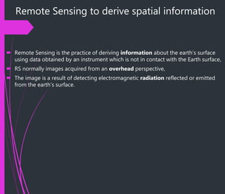
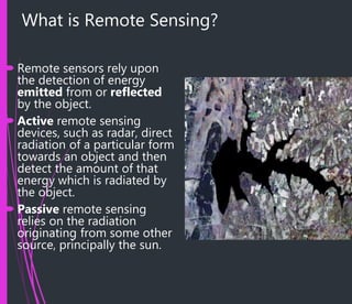
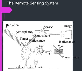
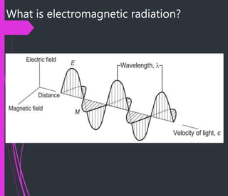
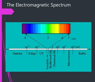
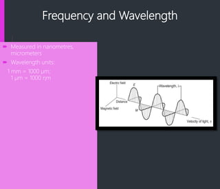
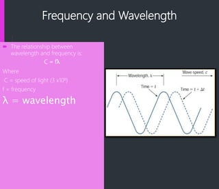
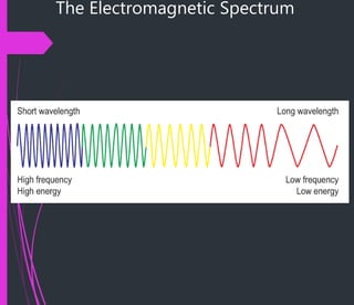
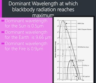
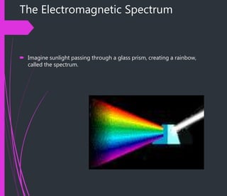
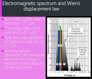
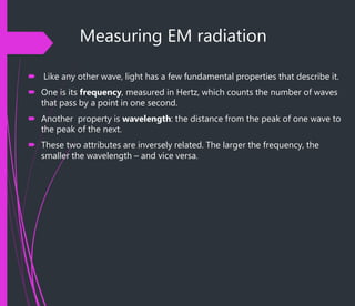
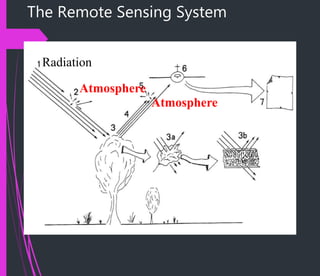
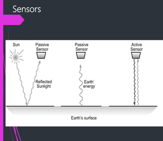
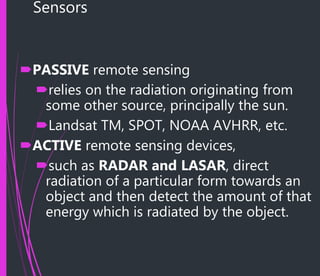
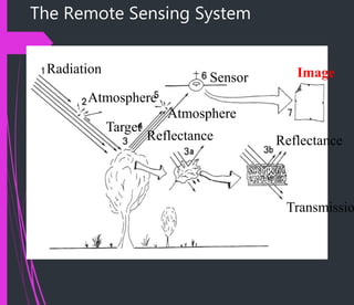
This document provides an introduction to remote sensing. It explains that remote sensing involves deriving information about the Earth's surface using instruments not in direct contact with it, such as satellites. Sensors can be either passive, relying on sunlight, or active, directing their own radiation. Radiation interacts with the atmosphere, surfaces, and is detected by sensors to form images. The electromagnetic spectrum is described, showing the different types of radiation. Factors like platforms, resolution, and increasing satellite missions are also covered. Remote sensing provides data well-suited for use in GIS systems.