
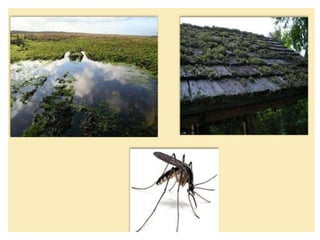
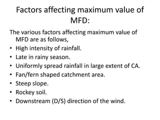
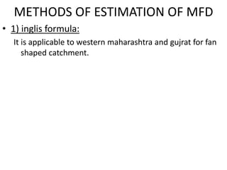
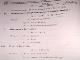
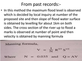
Downloaded 232 times
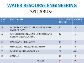
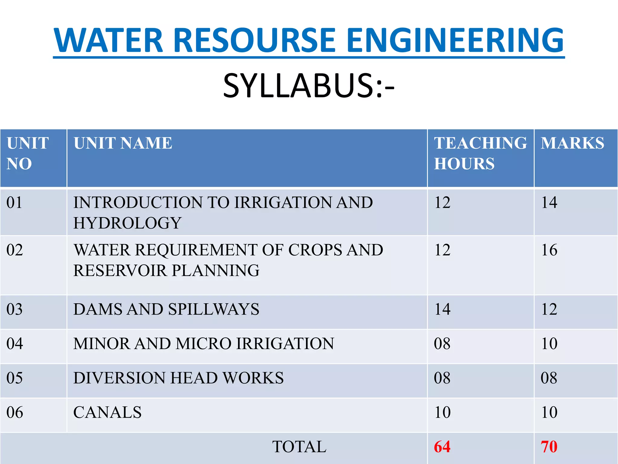
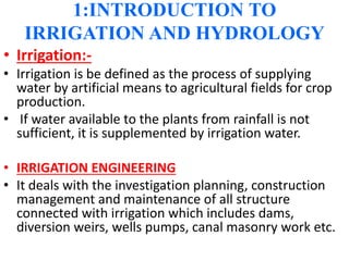

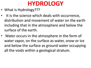
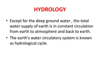

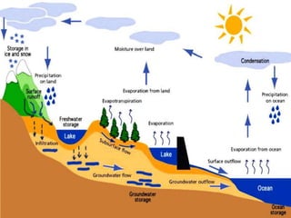
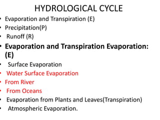
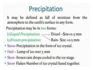


This document provides an overview of a syllabus for a water resource engineering course. The syllabus includes 6 units covering topics like irrigation and hydrology, water requirements of crops, dams and spillways, minor and micro irrigation, diversion head works, and canals. Key concepts from hydrology like the hydrological cycle, rainfall measurement, and types of rain gauges are also summarized. The document aims to introduce students to important concepts in irrigation engineering and hydrology.
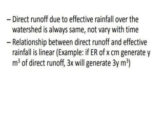
![Civil v-hydrology and irrigation engineering [10 cv55]-notes](https://cdn.slidesharecdn.com/ss_thumbnails/civil-v-hydrologyandirrigationengineering10cv55-notes-160425135643-thumbnail.jpg?width=640&height=640&fit=bounds)


