Download to read offline


![Space Geodetic Techniques
• ITRS Combination Centers
• Institute Géographique National (IGN), Paris France
• Jet Propulsion Laboratory, USA
• DGFI TUM – Techniques are combined based on
combination of NEQs of Gauss- Markov Model
• DTRF 2014
• Station coordinates
• Full set of EOP
[Bloßfeld, 2015]](https://image.slidesharecdn.com/itrfslideshare-190528090522/75/International-Terrestrial-Reference-Frame-11-2048.jpg)
![Space Geodetic Techniques – Colocation Sites
• Colocation Sites – Measurements between technique reference
points are necessary to combine station. These are called local
ties(Differential coordinates)
[Seitz, 2012]](https://image.slidesharecdn.com/itrfslideshare-190528090522/75/International-Terrestrial-Reference-Frame-12-2048.jpg)


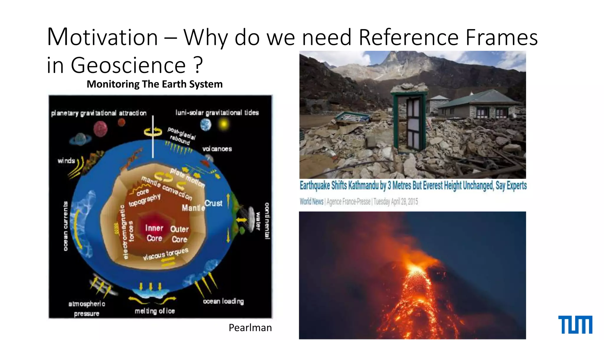
The document discusses the International Terrestrial Reference Frame (ITRF) and its fundamental role in geosciences. It explains that ITRF is crucial for monitoring Earth's motions and positions relative to space, and provides a realization of the International Terrestrial Reference System (ITRS) through 3D coordinates of points on Earth's surface. It then outlines the space geodetic techniques that provide input data to define ITRF, applications of ITRF in geosciences, current inconsistencies and limitations, and improvements and alternative reference frames being developed.


