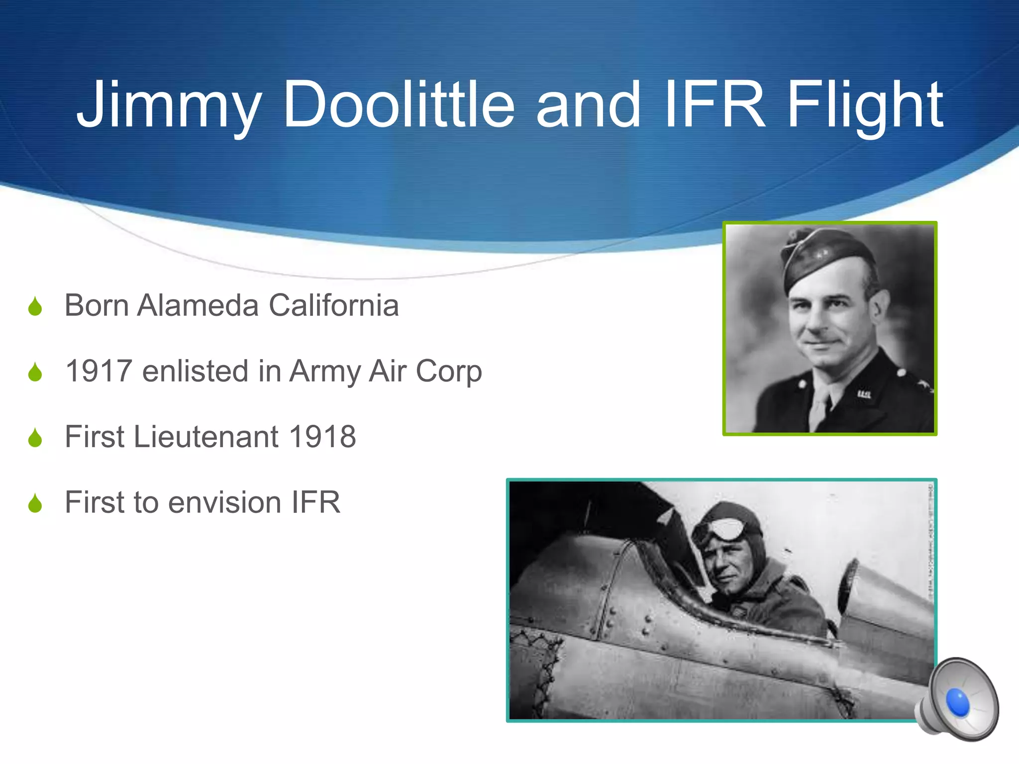
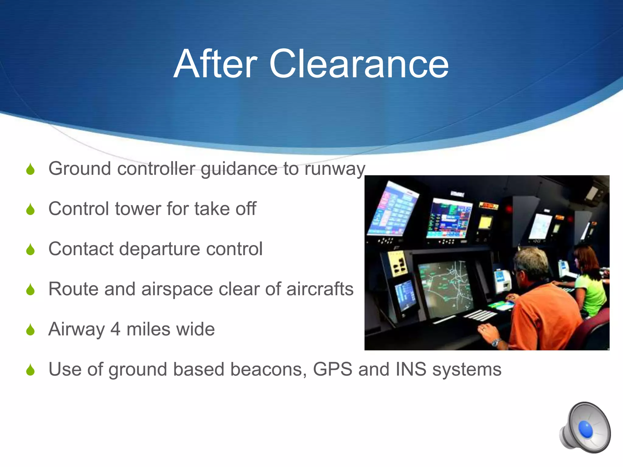
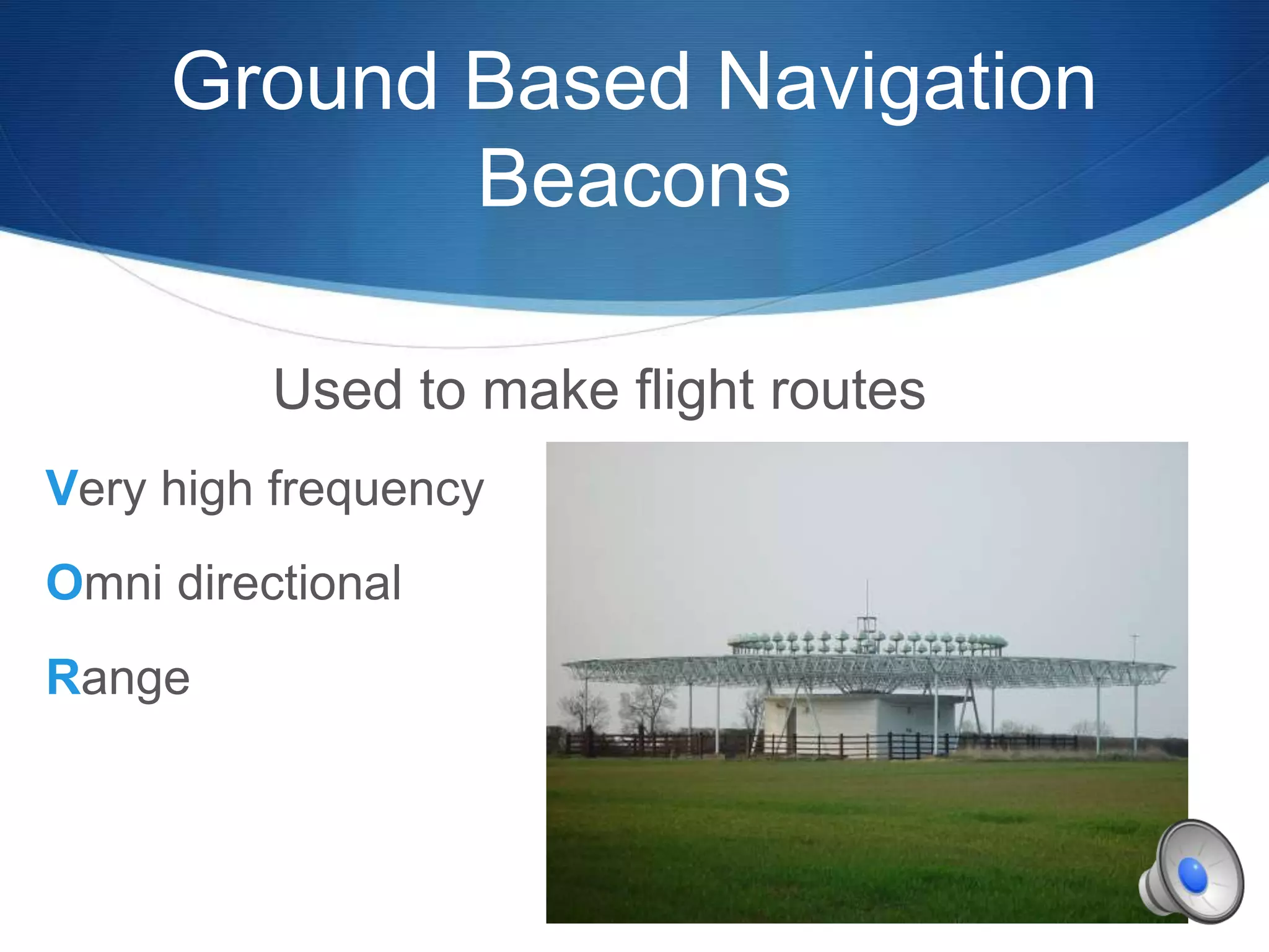
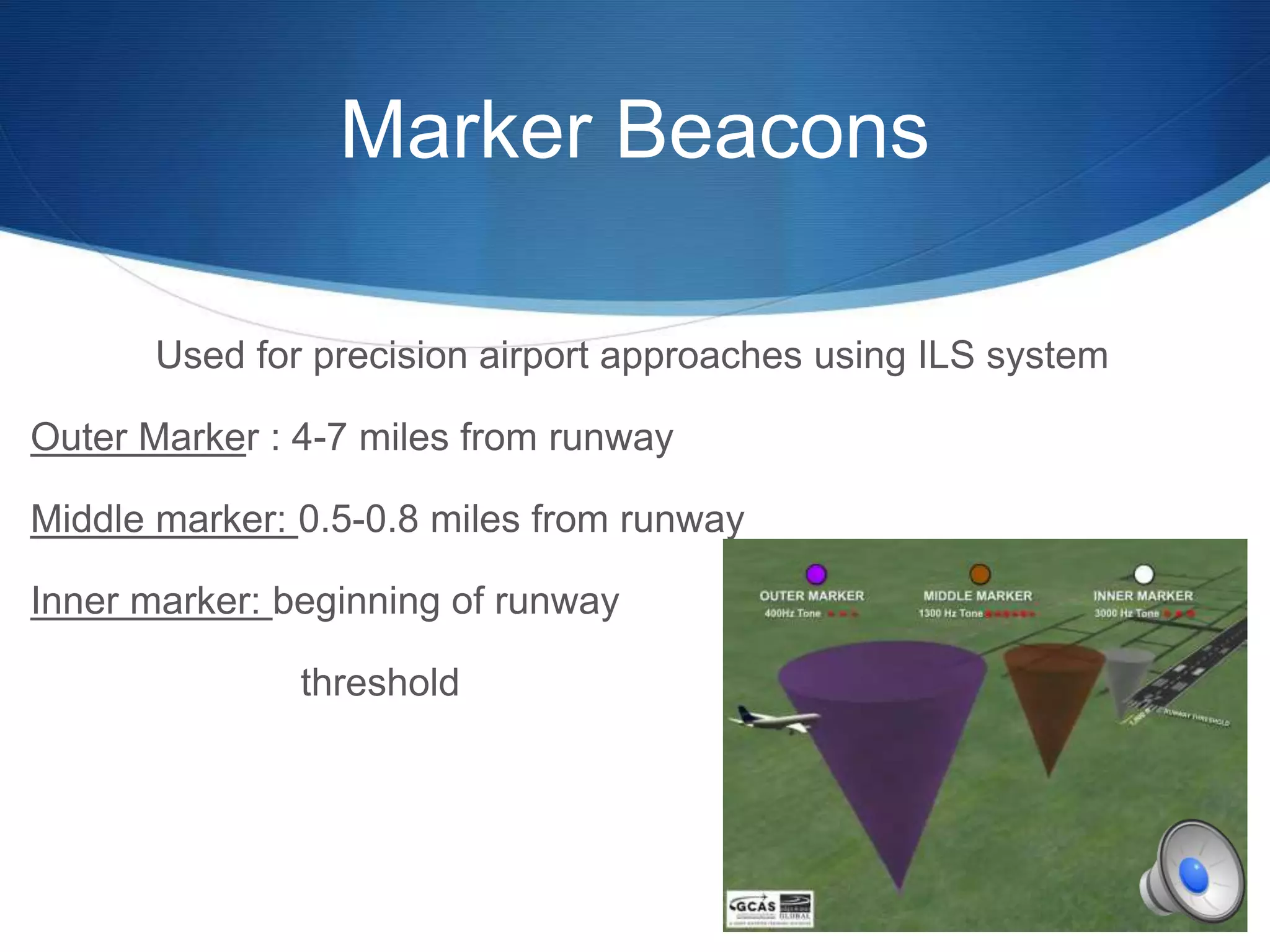
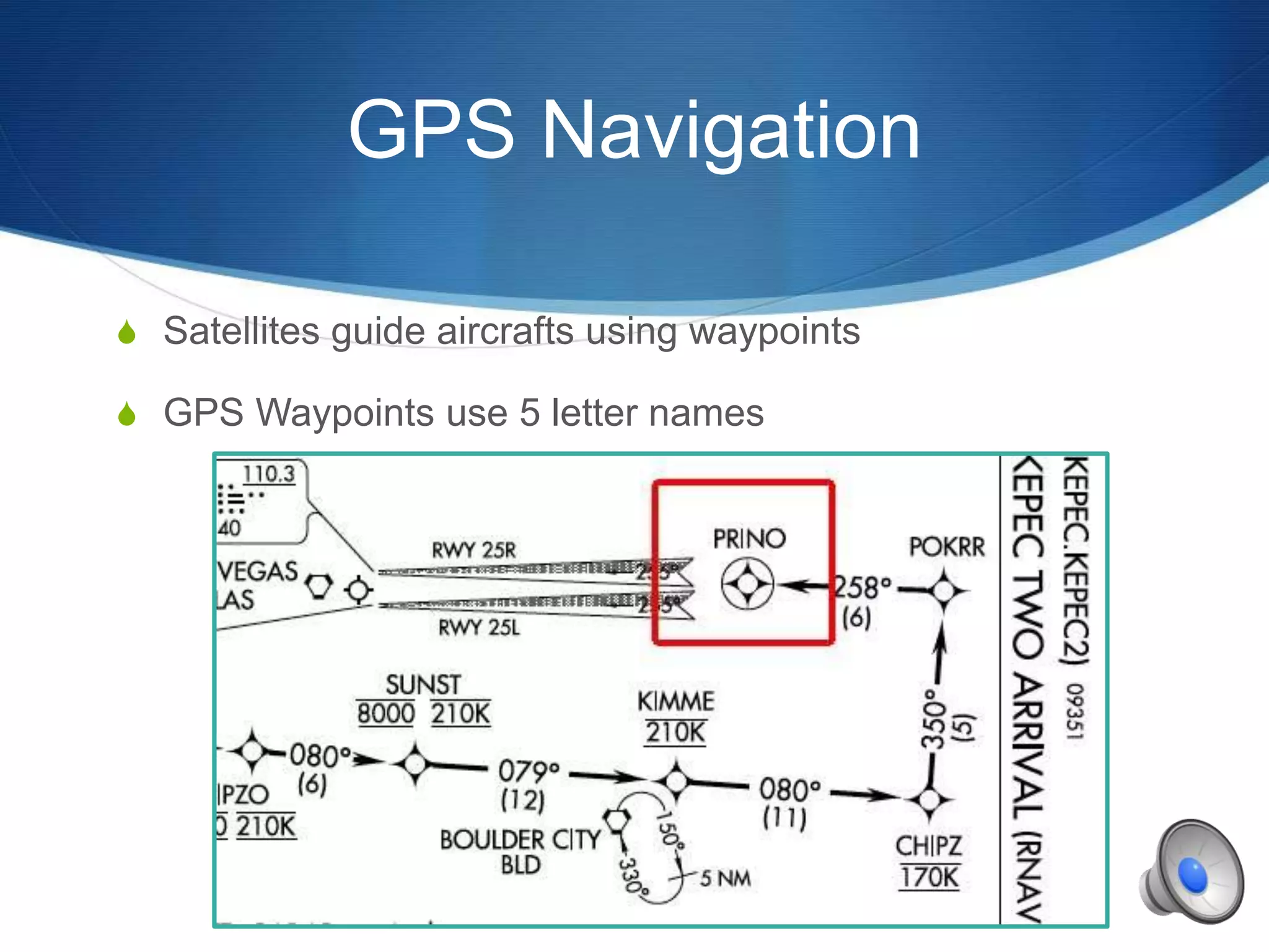
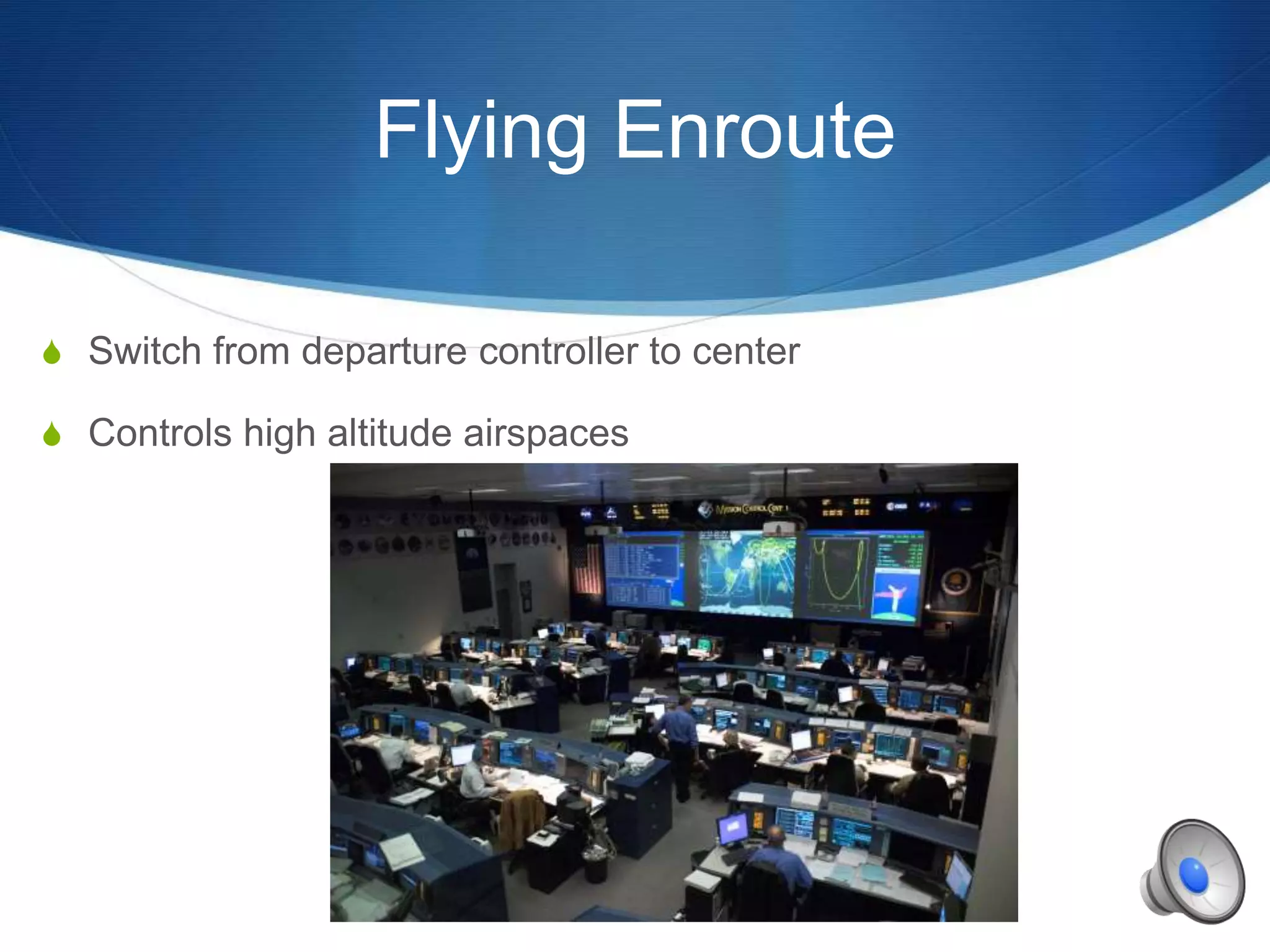
S
Instrument Flight Rules
Wilmington University
Robert Beard
IFR vs. VFR
IFR
Instrument Flight
Rules
Using instruments to
fly
VFR
Visual Flight Rules
Visually looking
where you are flying
Jimmy Doolittle and IFR Flight
S Born Alameda California
S 1917 enlisted in Army Air Corp
S First Lieutenant 1918
S First to envision IFR
Obtaining Clearance
Must have flight plan filed and clearance
Cleared
Route
Altimeter
Frequency
Transponder
After Clearance
S Ground controller guidance to runway
S Control tower for take off
S Contact departure control
S Route and airspace clear of aircrafts
S Airway 4 miles wide
S Use of ground based beacons, GPS and INS systems
Ground Based Navigation
Beacons
Used to make flight routes
Very high frequency
Omni directional
Range
Marker Beacons
Used for precision airport approaches using ILS system
Outer Marker : 4-7 miles from runway
Middle marker: 0.5-0.8 miles from runway
Inner marker: beginning of runway
threshold
GPS Navigation
S Satellites guide aircrafts using waypoints
S GPS Waypoints use 5 letter names
ILS
Most commonly used when landing in bad weather
Instrument Landing System
Flying Enroute
S Switch from departure controller to center
S Controls high altitude airspaces
SIDS and STARS
S SIDS = Standard Instrument Departure
S Also known as departure procedures
S Located on “off ramps”
S STARS= Standard Terminal Arrival Routes
S Located on ramps
Non Towered Airports
Take off
S Air traffic control (ATC) gives clearance with a void time
Landing
S Remain under ATC control until landing
S Cancel IFR once landed

Instrument flight rules by Robert Beard

  • 1.
    S Instrument Flight Rules WilmingtonUniversity Robert Beard
  • 2.
    IFR vs. VFR IFR InstrumentFlight Rules Using instruments to fly VFR Visual Flight Rules Visually looking where you are flying
  • 3.
    Jimmy Doolittle andIFR Flight S Born Alameda California S 1917 enlisted in Army Air Corp S First Lieutenant 1918 S First to envision IFR
  • 4.
    Obtaining Clearance Must haveflight plan filed and clearance Cleared Route Altimeter Frequency Transponder
  • 5.
    After Clearance S Groundcontroller guidance to runway S Control tower for take off S Contact departure control S Route and airspace clear of aircrafts S Airway 4 miles wide S Use of ground based beacons, GPS and INS systems
  • 6.
    Ground Based Navigation Beacons Usedto make flight routes Very high frequency Omni directional Range
  • 7.
    Marker Beacons Used forprecision airport approaches using ILS system Outer Marker : 4-7 miles from runway Middle marker: 0.5-0.8 miles from runway Inner marker: beginning of runway threshold
  • 8.
    GPS Navigation S Satellitesguide aircrafts using waypoints S GPS Waypoints use 5 letter names
  • 9.
    ILS Most commonly usedwhen landing in bad weather Instrument Landing System
  • 10.
    Flying Enroute S Switchfrom departure controller to center S Controls high altitude airspaces
  • 11.
    SIDS and STARS SSIDS = Standard Instrument Departure S Also known as departure procedures S Located on “off ramps” S STARS= Standard Terminal Arrival Routes S Located on ramps
  • 12.
    Non Towered Airports Takeoff S Air traffic control (ATC) gives clearance with a void time Landing S Remain under ATC control until landing S Cancel IFR once landed